
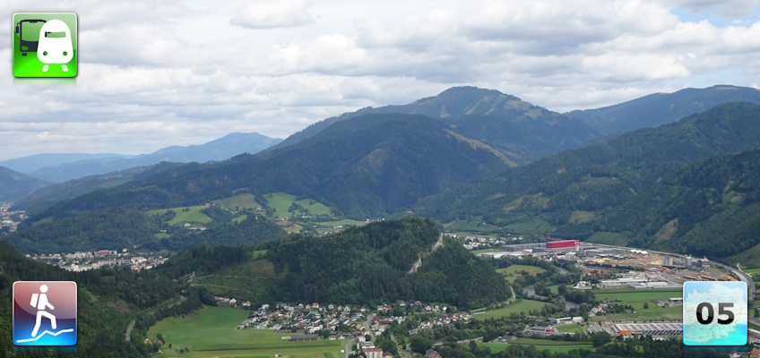
Sixteenth stage of the Nord-Süd-Weitwanderweg 05 starting from Trofaiach towards Leoben via the Trabocher See.
 |
The North-South-Long-Distance trail (Nord-Süd-Weitwanderweg, also known as the “05”) starts in the north of Austria at Nebelstein and ends in the south of Austria at Eibiswald. The trail is ~500km long, ~18 000m in ascent and the same amount in descent. The trail was initiated by Carl Hermann and officially established on the 25th September 1970. The trail is separated into 3 parts:
It normally takes 3 weeks to complete the entire trail. |
The here presented tour is the sixteenth stage of the Nord-Süd-Weitwanderweg 05 , where the stage starts in the city of Trofaiach and ends in the city of Leoben.
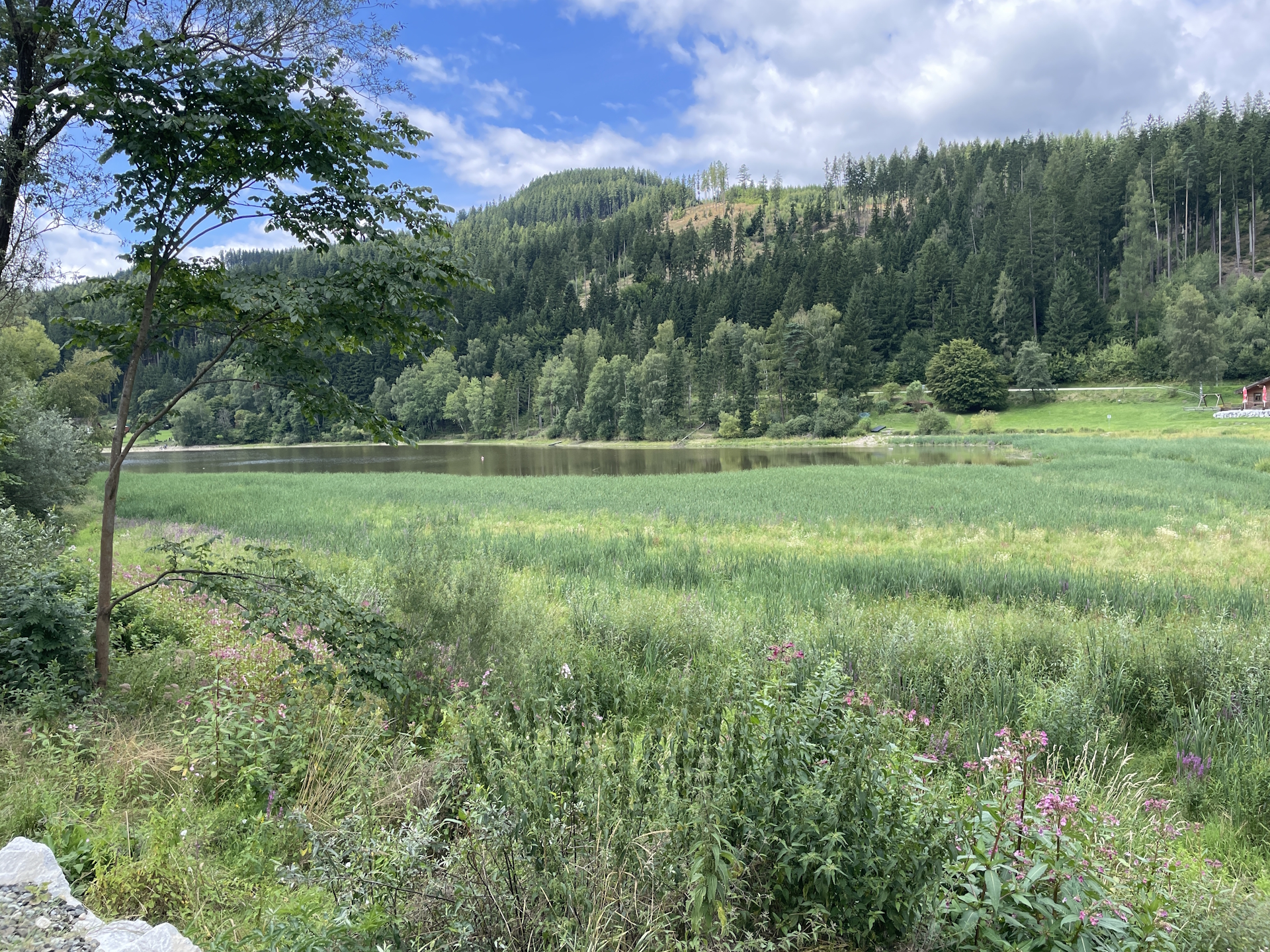
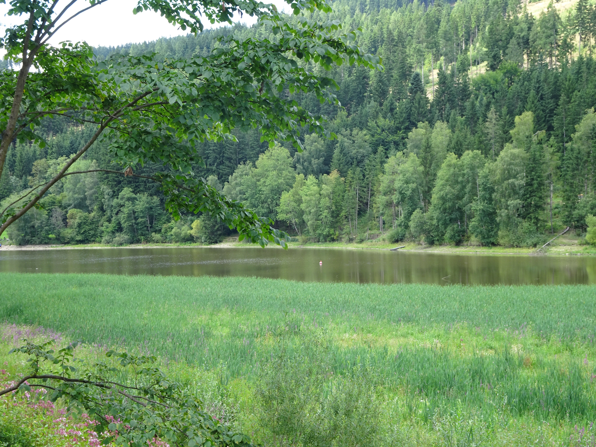
The tour starts at the bus station Trofaiach Hauptstraße/Zentrum (Checkpoint) and first follows the road next to the railway track northwards to the city boarder of Hafning/Trofaiach. Then the tour turns left into the official 05 trail. The tour then follows a gravel road around the city of Trofaiach before it follows a scenic trail up to Gausendorf. The tour then follows a trail southwards, crosses the main street and then follows again an easy forest road till reaching the beautiful Trabocher See. On its very north, the tour then again follows a steep trail through the forest up to the Schafberg and then further to the chapel of Fadinger, before it descends on an easy forest road towards Leoben (Checkpoint).
In Leoben, the tour ends at the train station.
| Nord-Süd-Weitwanderweg 05 – Checkpoints | |
|
Transportation:
I’ve planned to accomplish this stage as a single day-trip as both, the start and endpoint are very well reachable with public transportation. In addition, I did the tour during a weekday, allowing me to collect the desired stamps at the municipal/tourism offices in Trofaiach and Leoben.
To get to the starting point I used the following means of transportation:
- Intercity 733 from Wien Hauptbahnhof (07:17) Leoben Hauptbahnhof (09:19)
- Bus 820 from Leoben Hauptbahnhof (09:36) Trofaiach Hauptstraße/Zentrum (09:52)
On the way back, I used the following means of transportation:
- Railjet 132 from Leoben Hauptbahnhof (15:38) Wien Hauptbahnhof (17:44)
The hike:
As I (wrongly!!!) assumed that this stage is a boring connection stage between the city of Trofaiach and Leoben, I decided to start at an easy time during a weekday (Monday). The primary reason was that I did not collect the stamp of Trofaiach on the last stage and during the week, the municipal office is open in Trofaiach in the morning. In addition, as the only restaurant on the way was closed on Monday (drawback), it allowed me to purchase supplies (food and drinks) before starting the stage.
I arrived in the center of Trofaiach in good time and immediately went to the municipal office to get my stamp . After having a short but nice chat with the staff, I left and head towards the local grocery store Billa to get my supplies for the day.
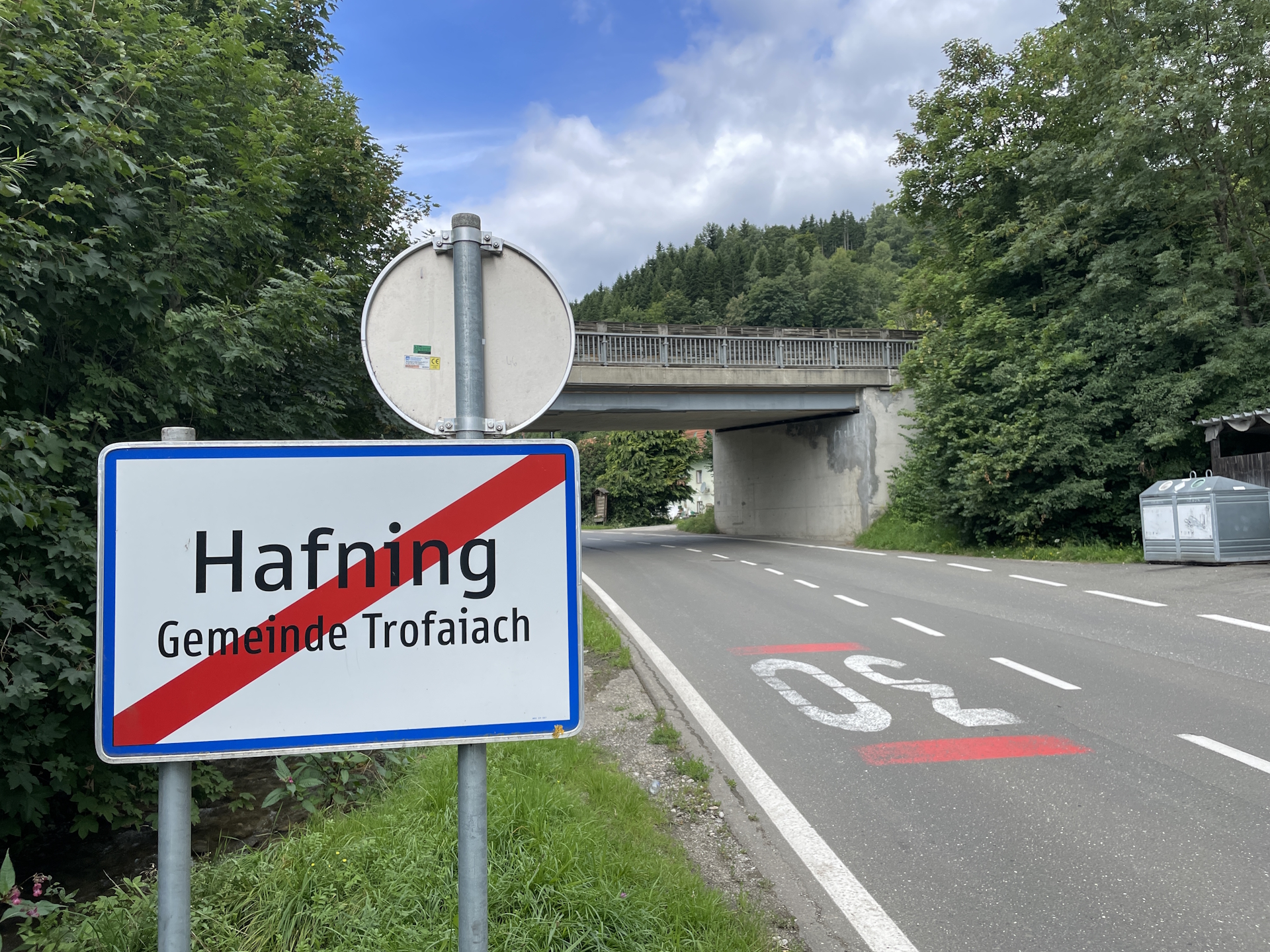
The last stage I ended at the northern city border (Hafning). Following the rules, I first had to go back to this point before continuing the official stage.
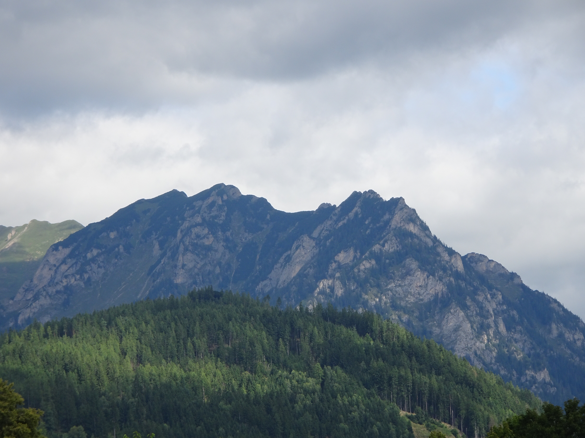
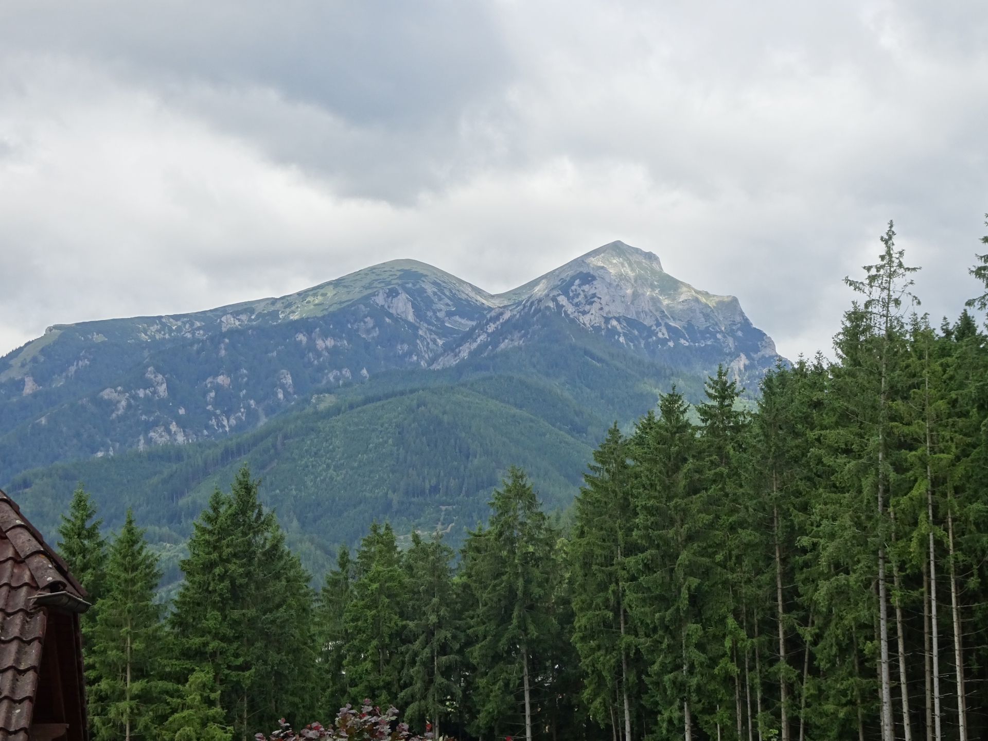
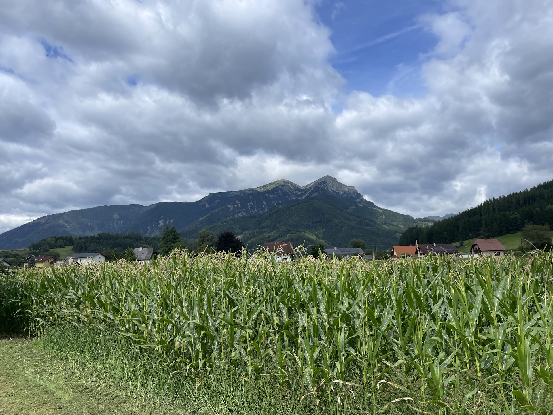
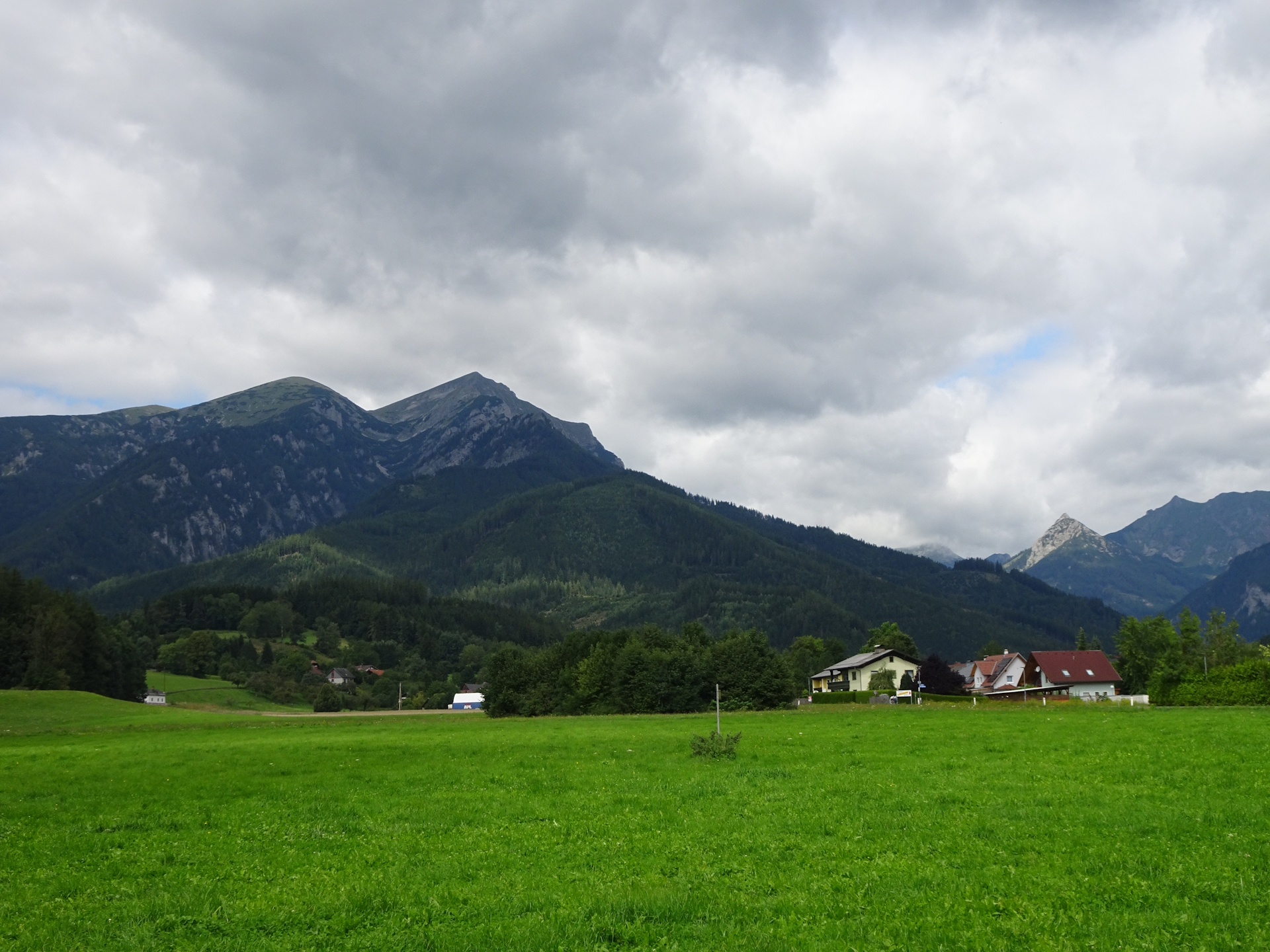
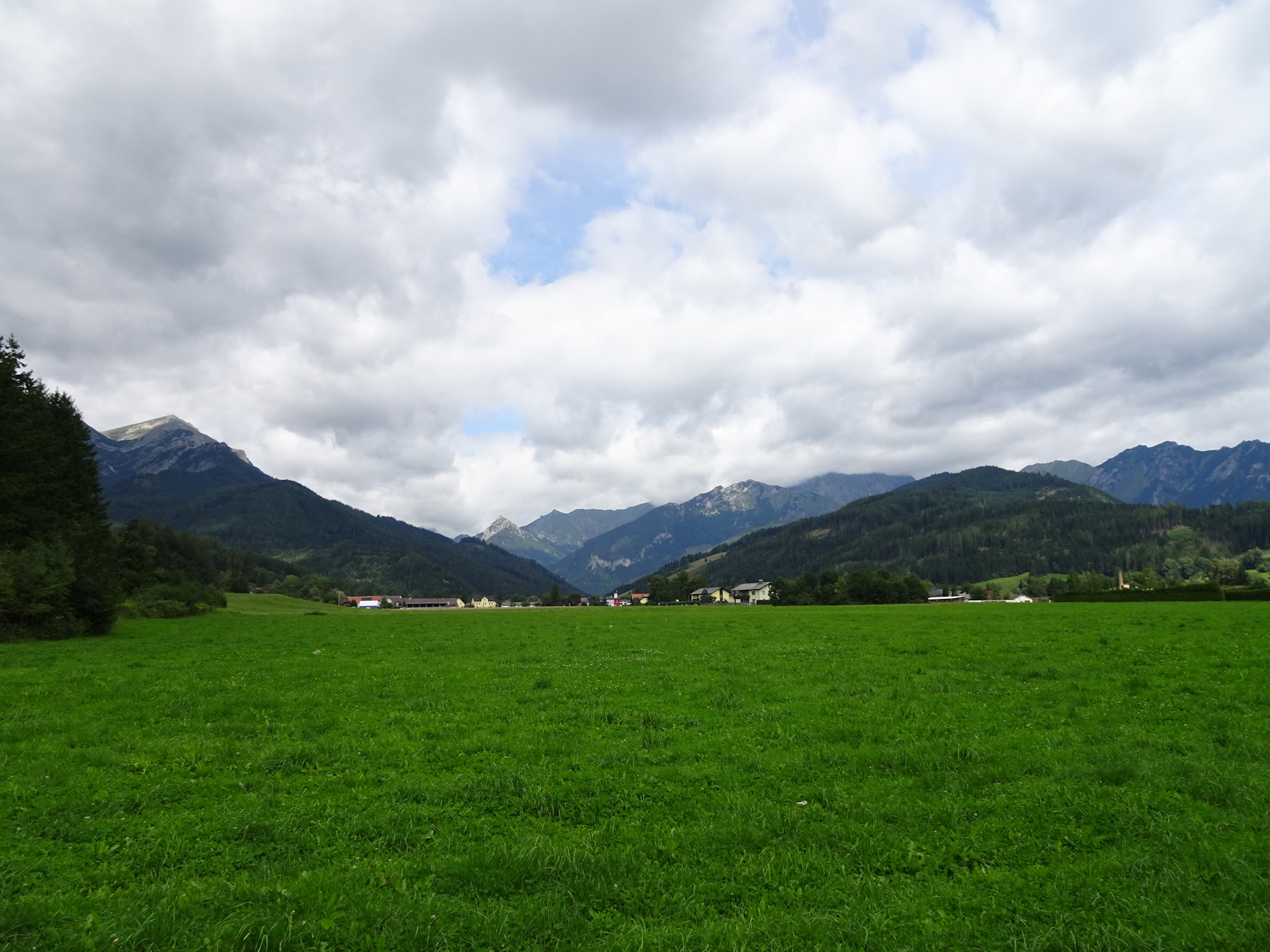
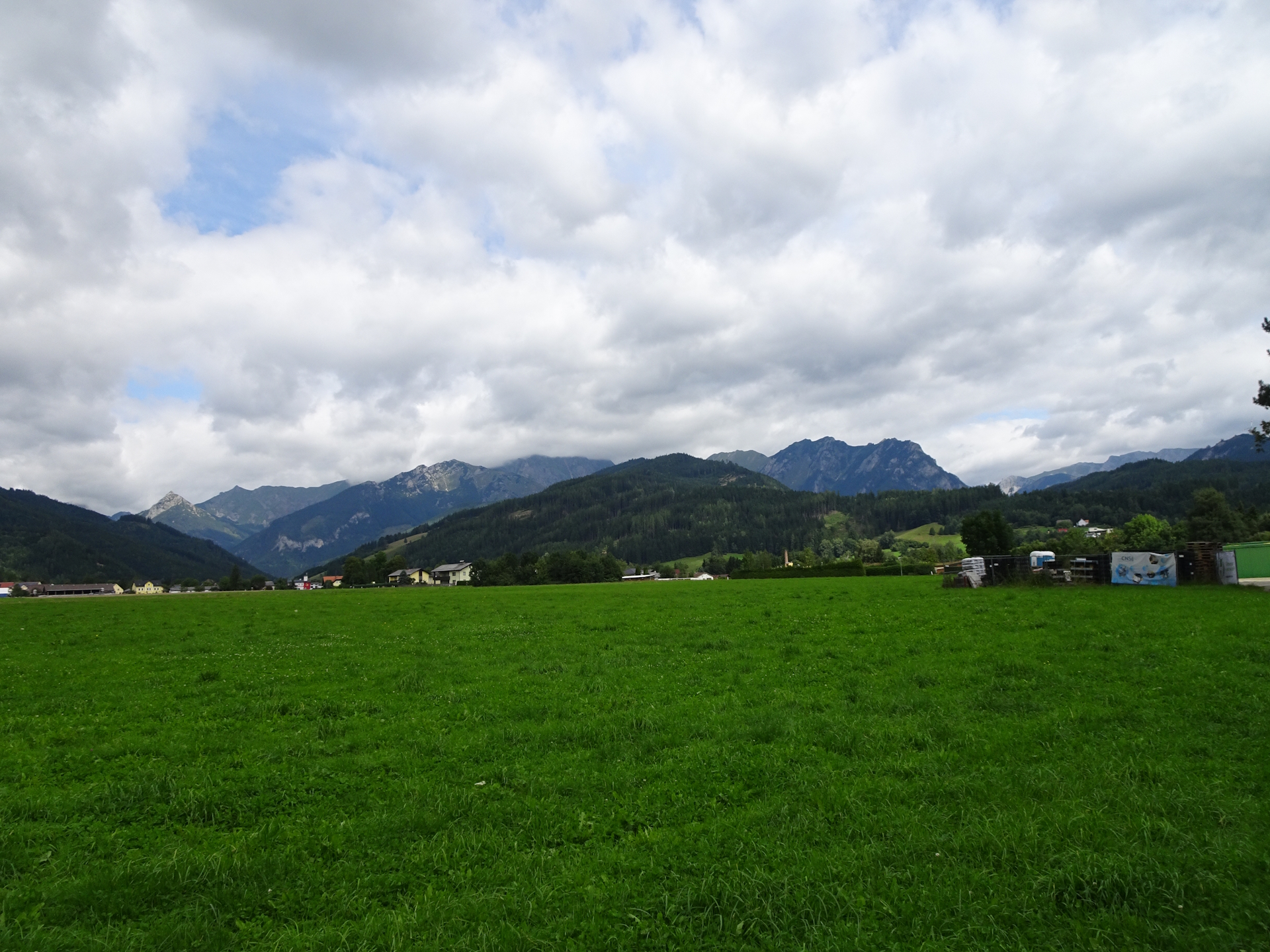
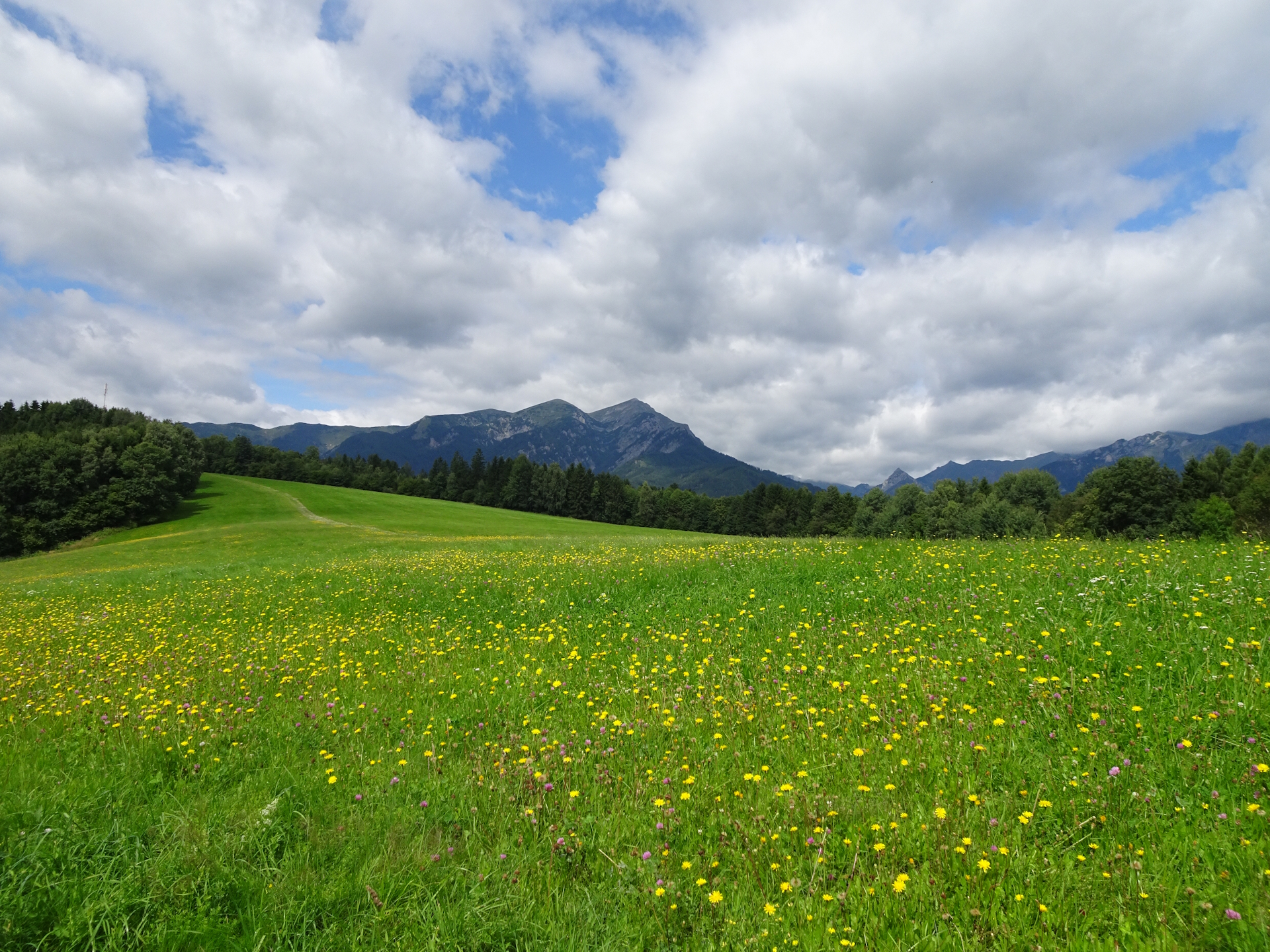
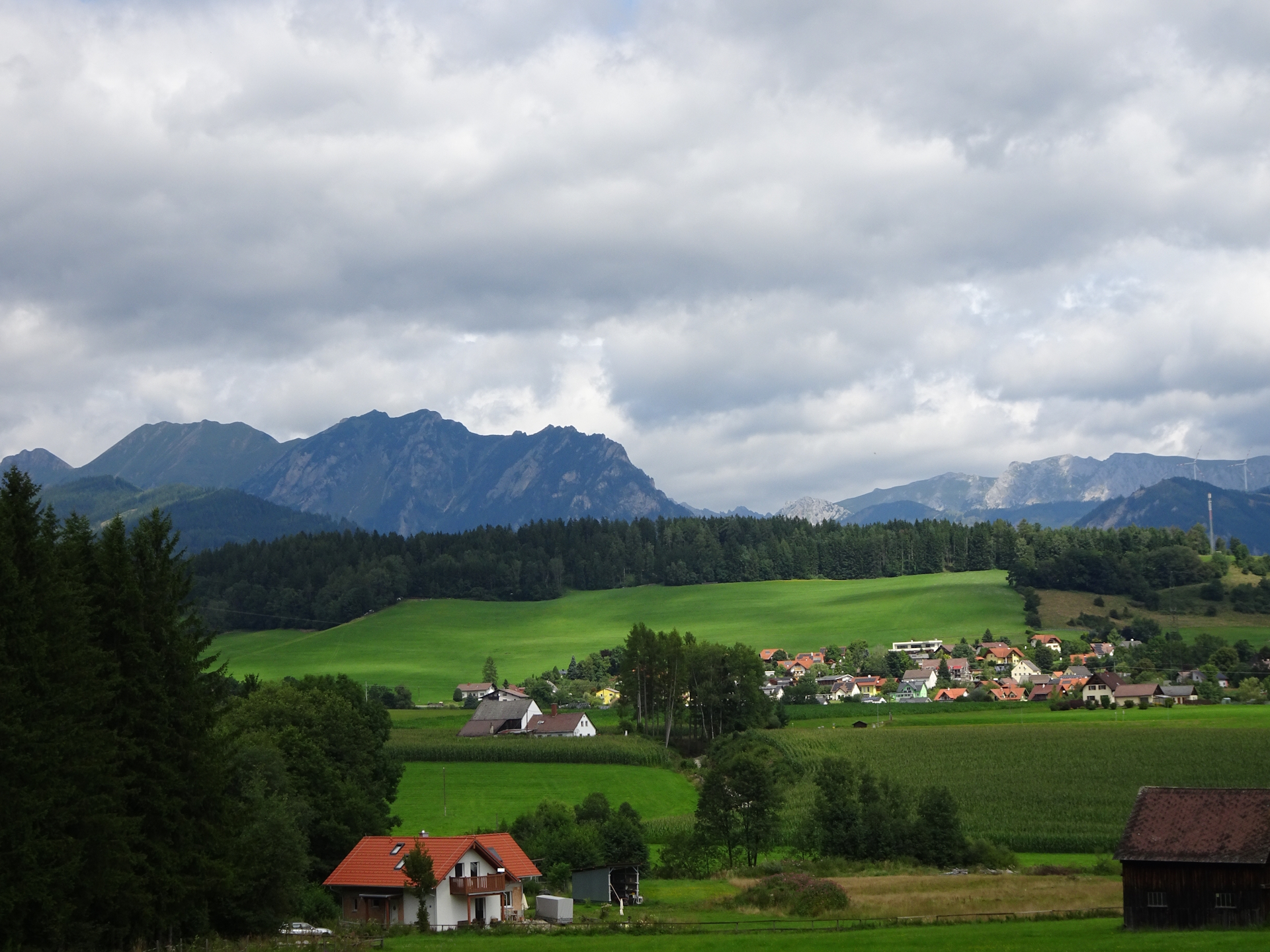
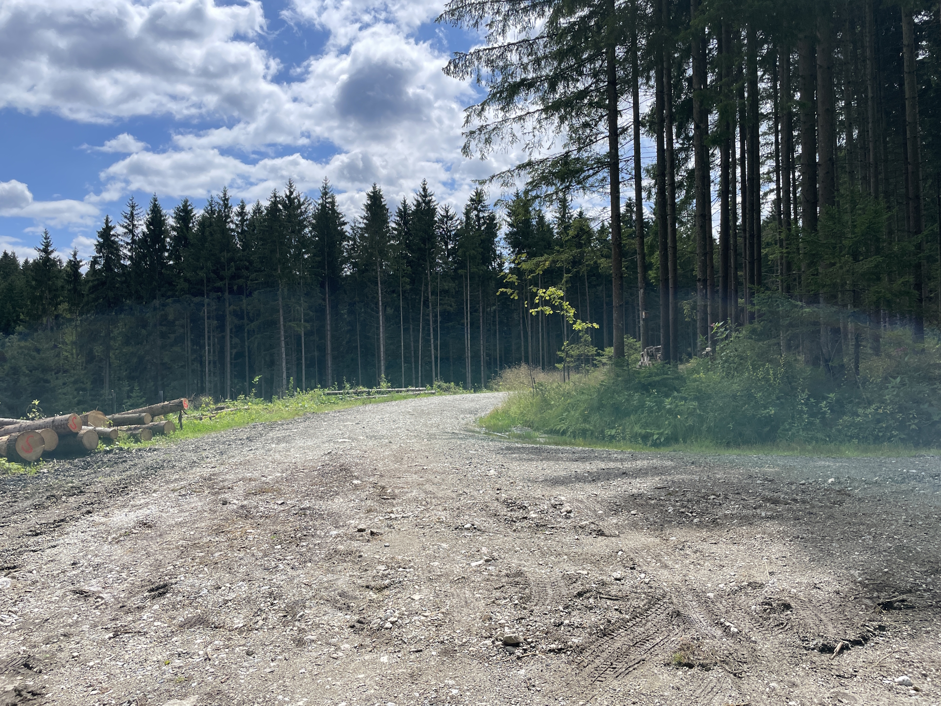
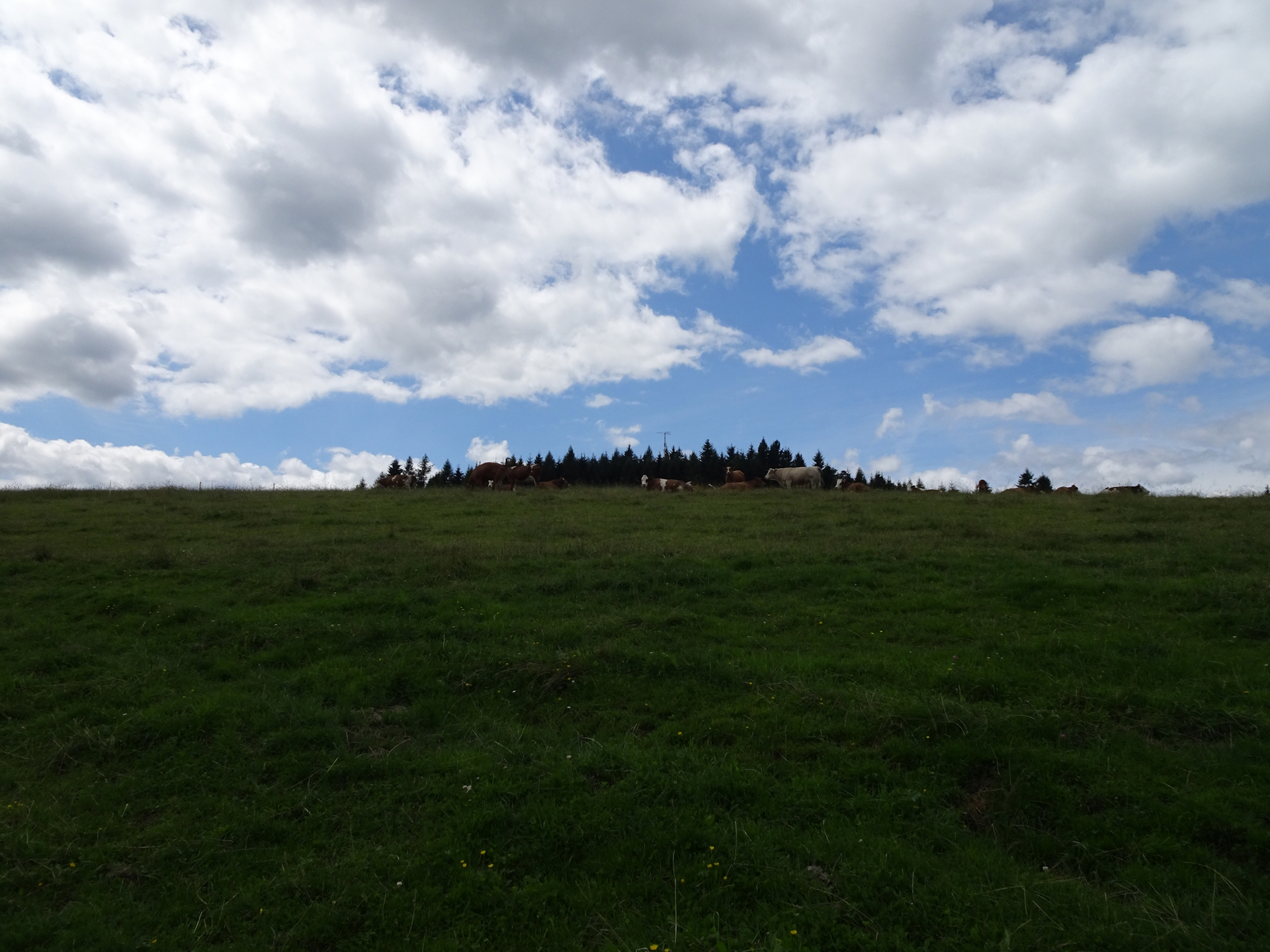
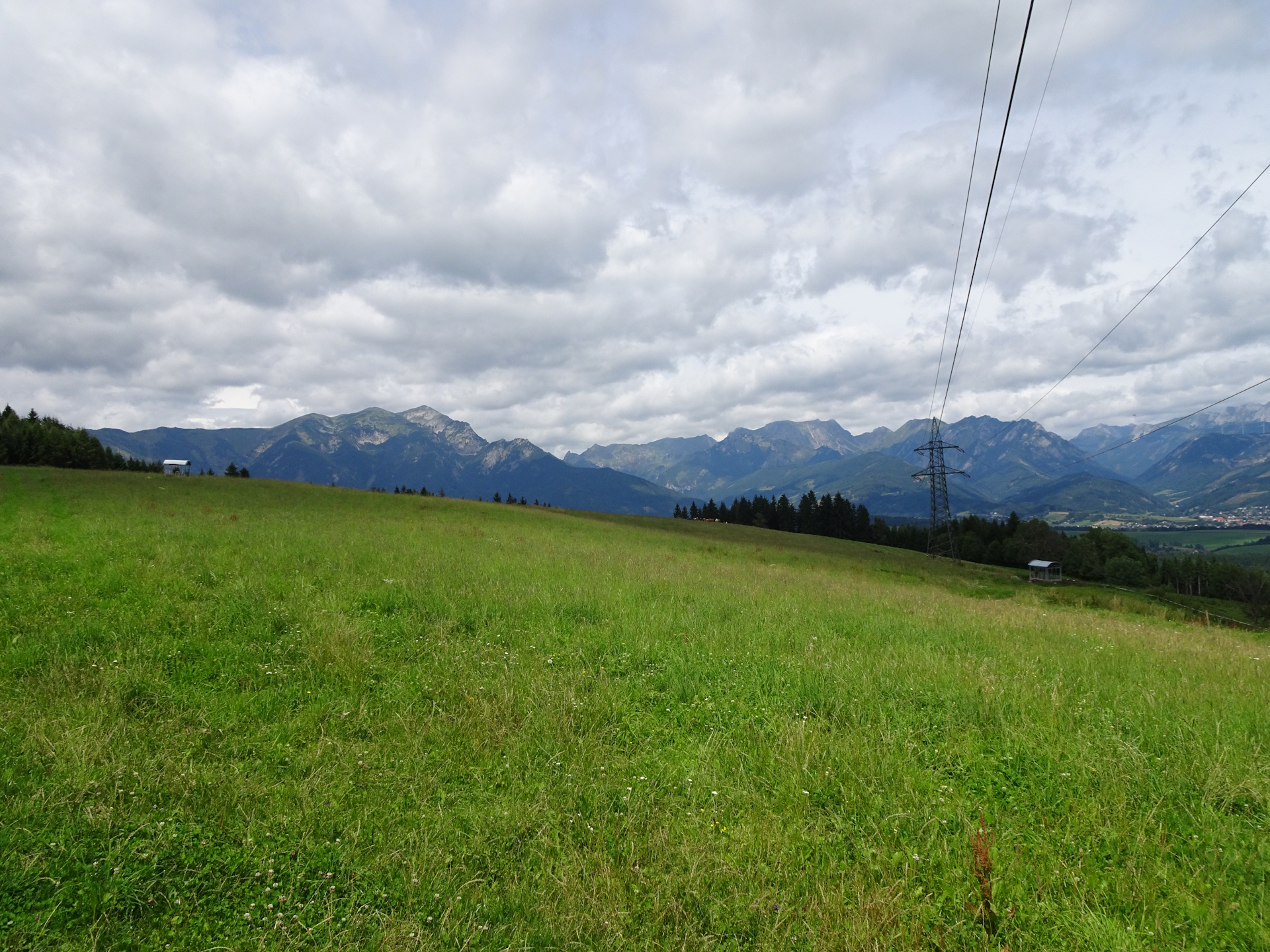
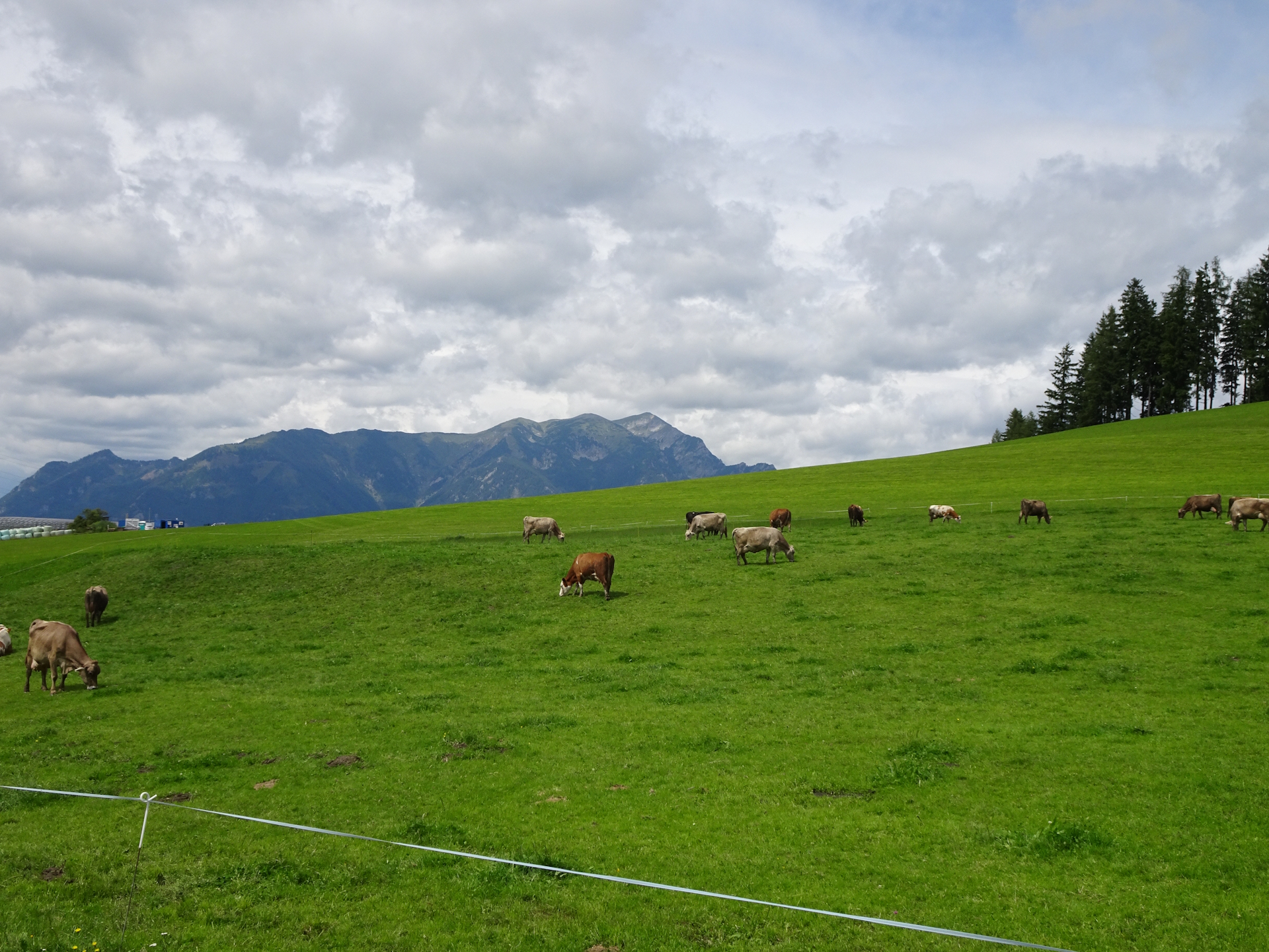
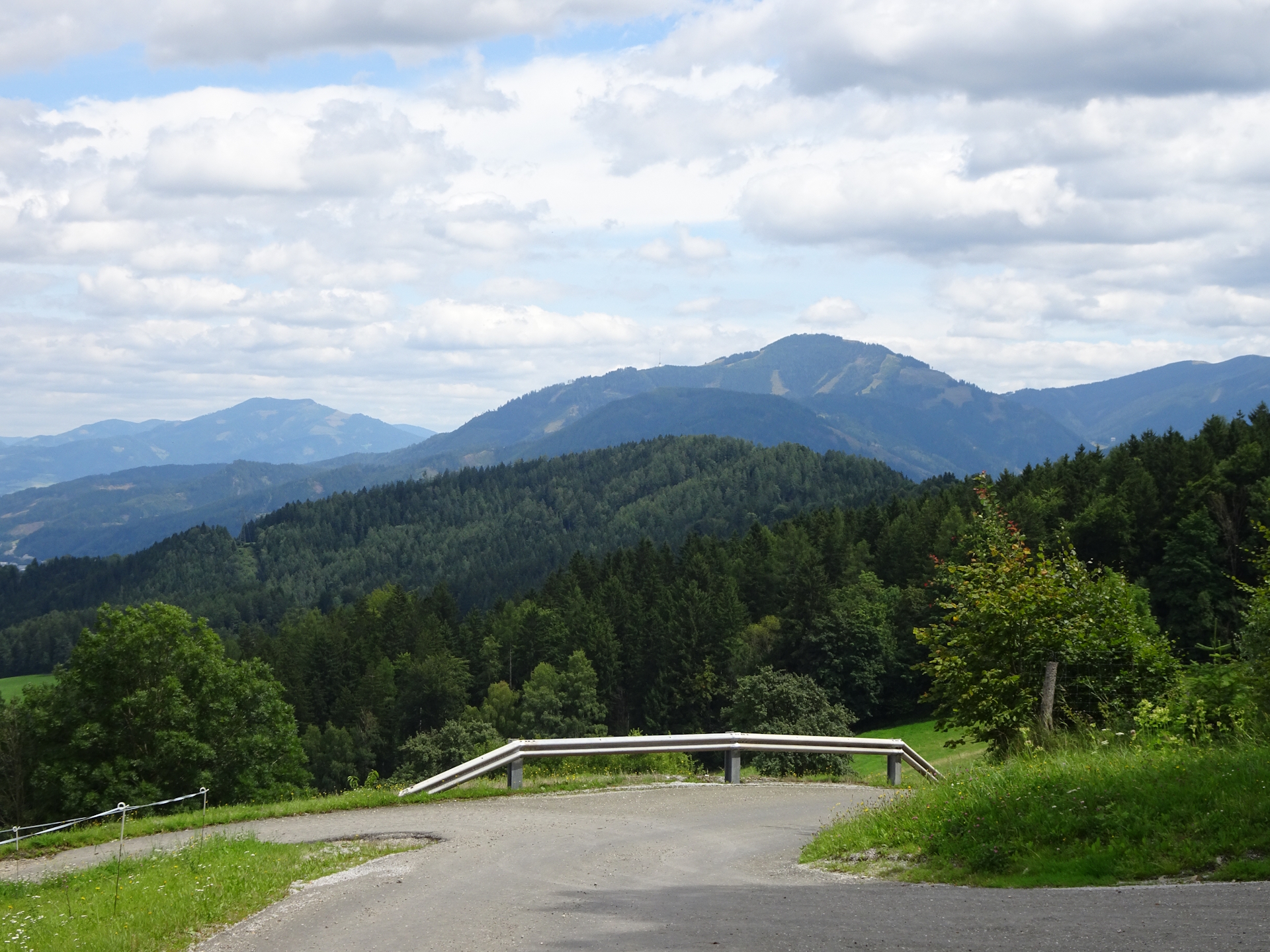
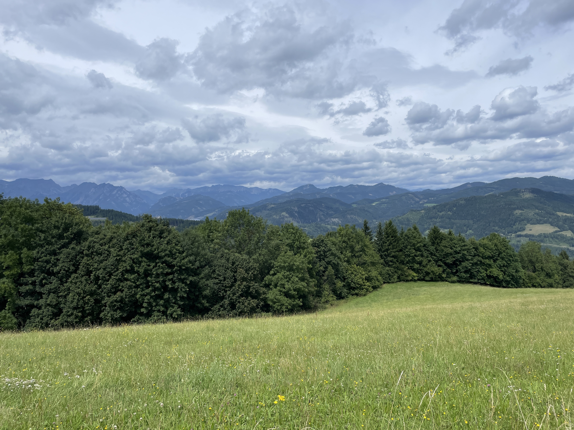
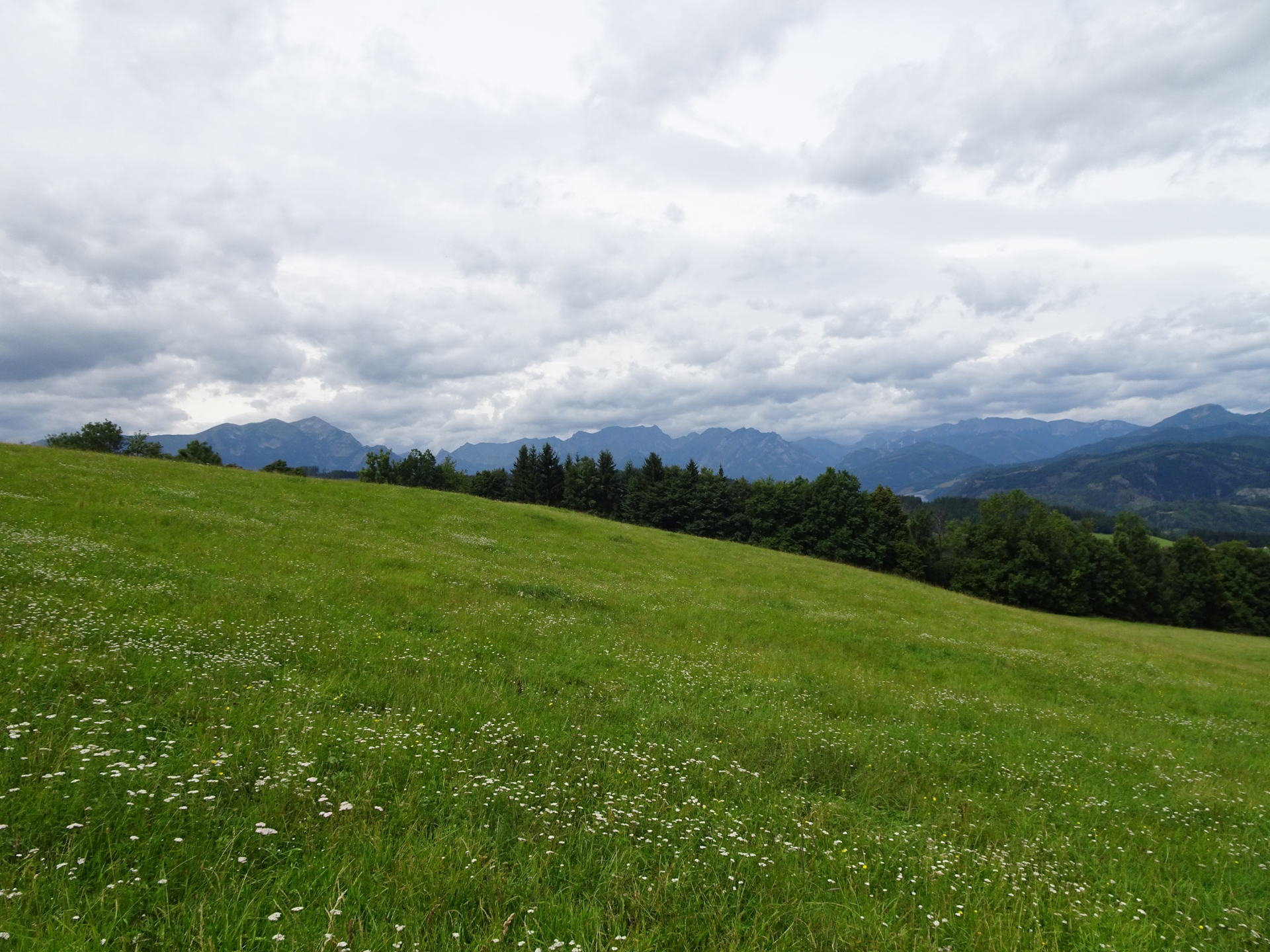
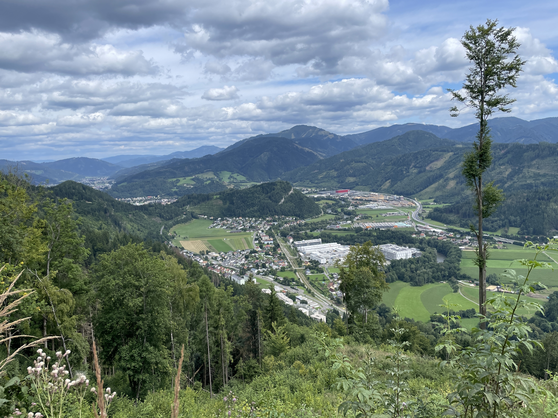
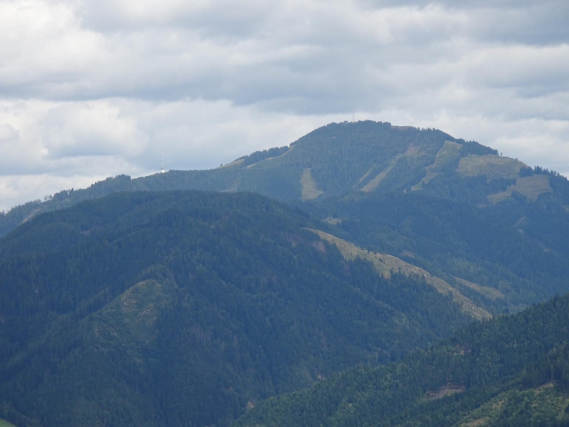
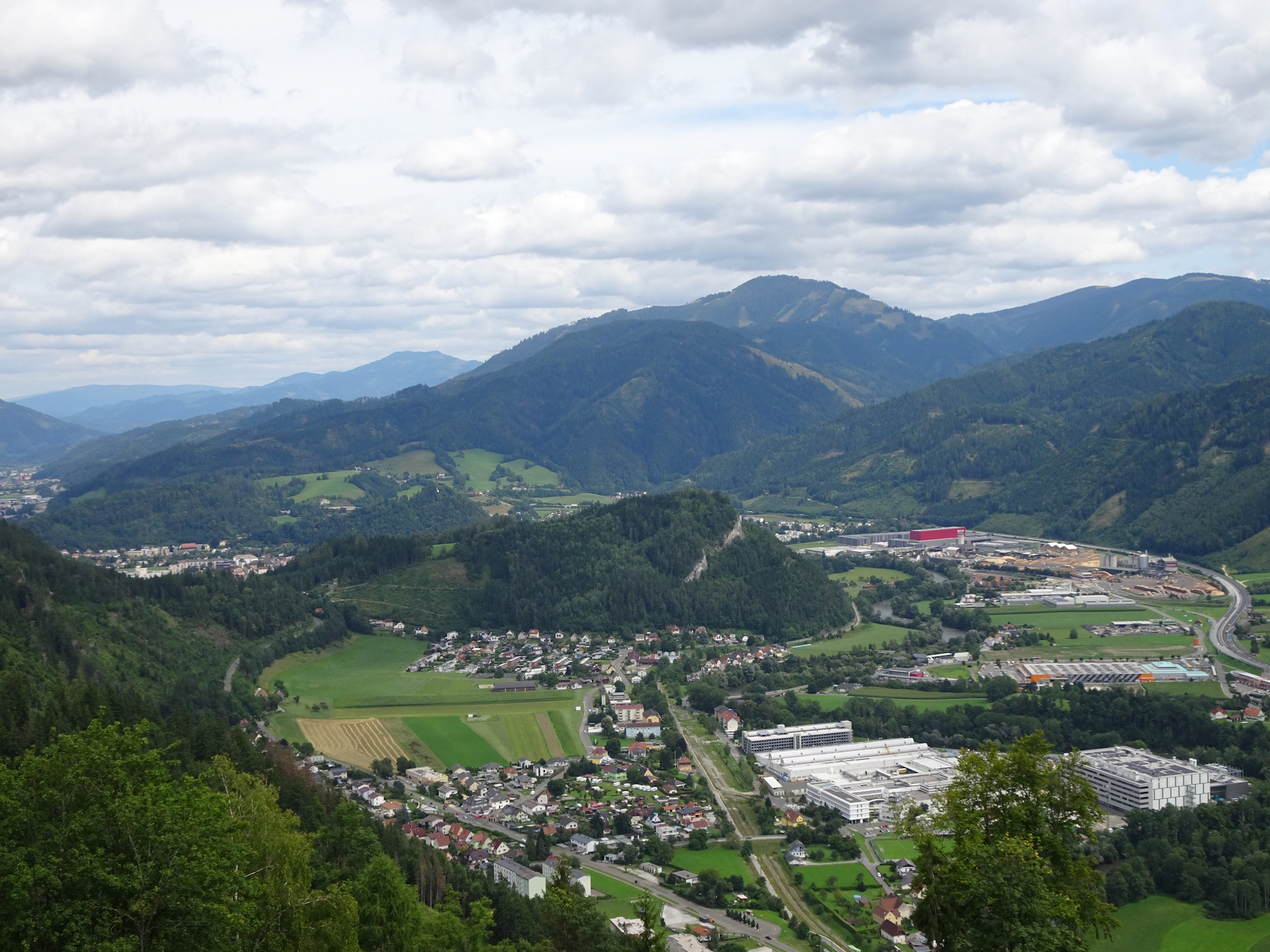
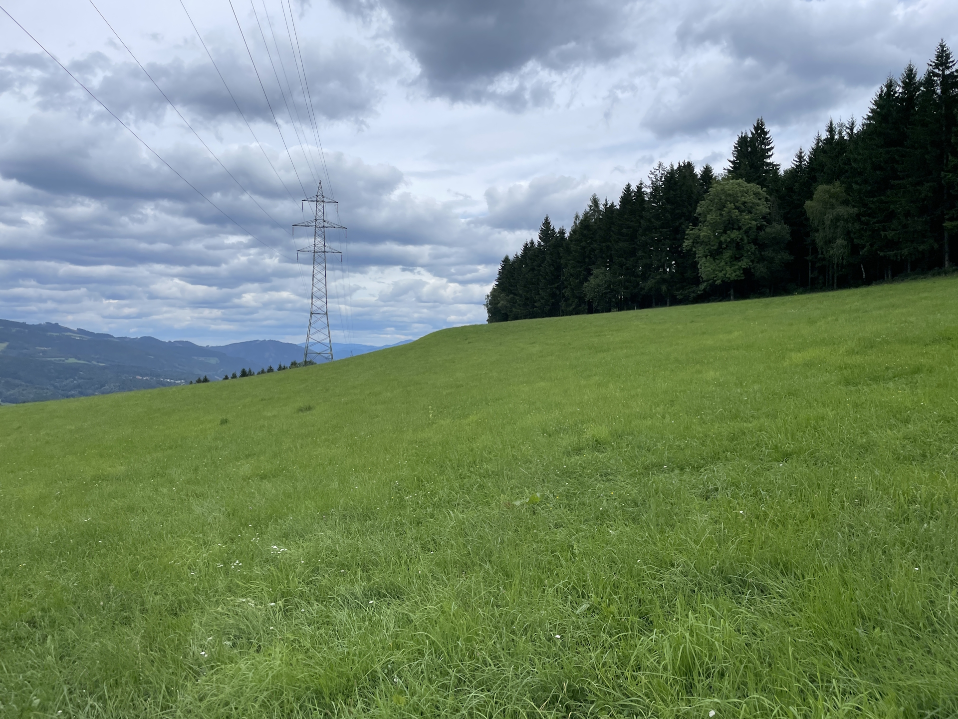
Once I arrived at the city border of Hafning/Trofaiach, I followed the official route of the 05 . Turned out that the route was mainly on an easy gravel road and offered scenic views towards the Eisenerzer Reichenstein and surrounding impressive mountain scenery.
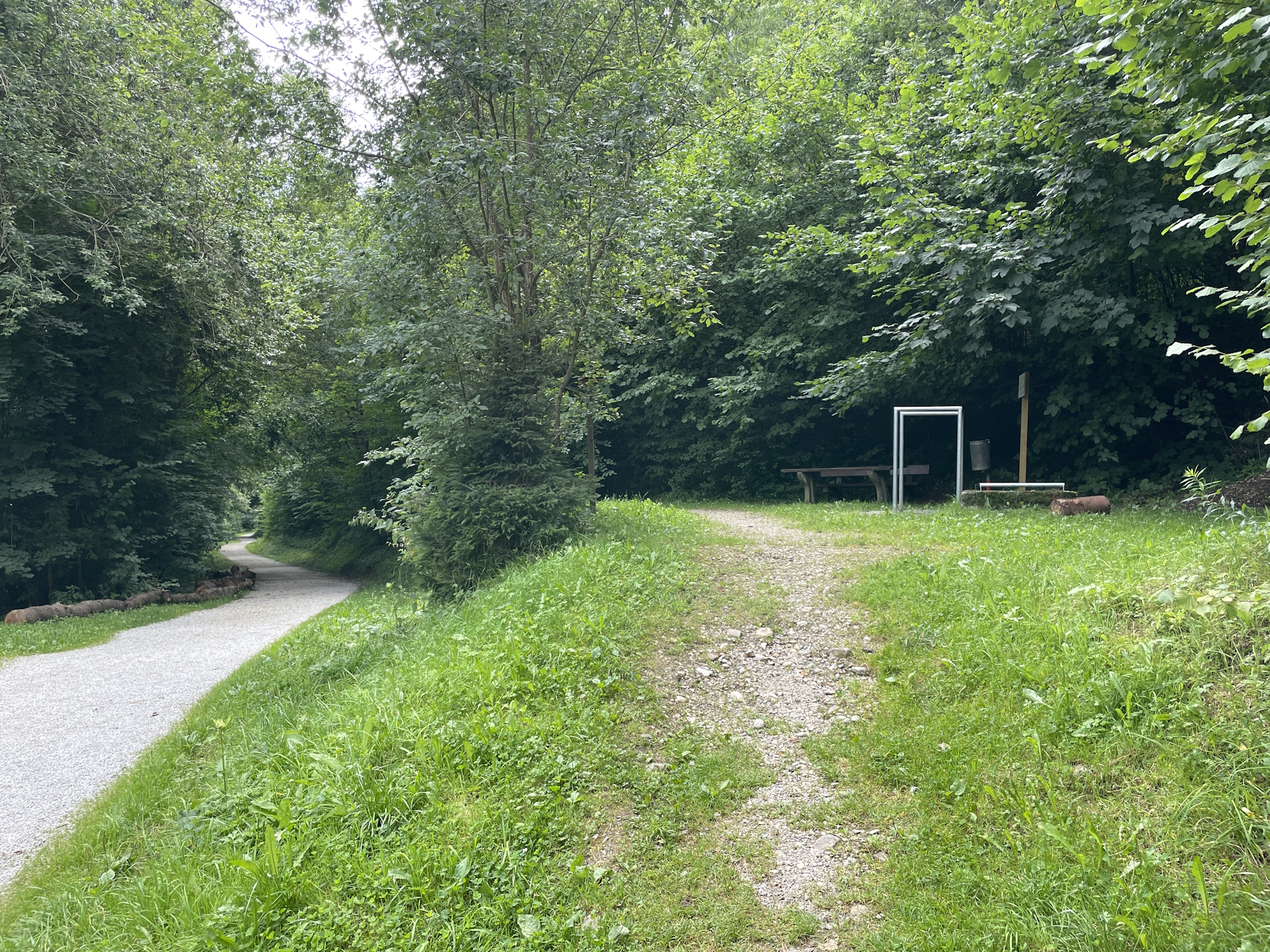
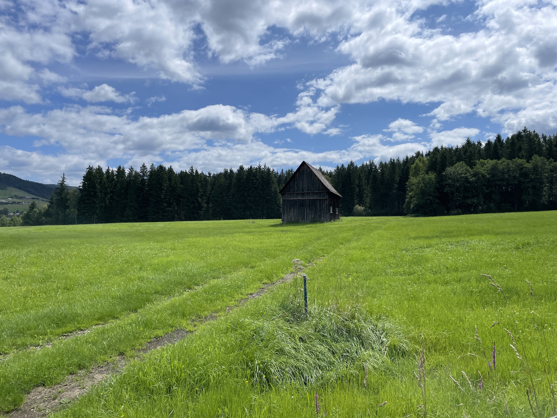
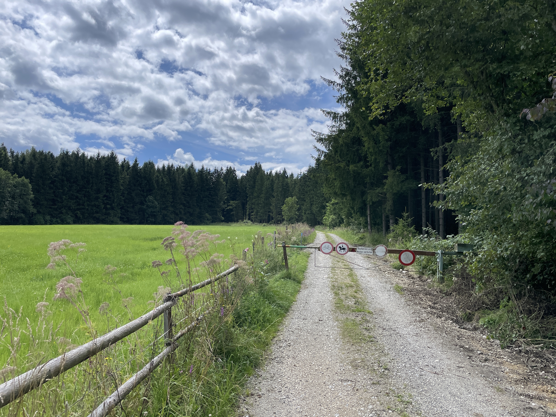
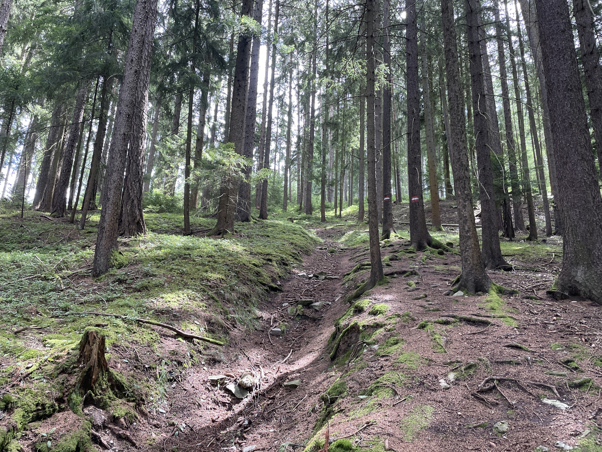
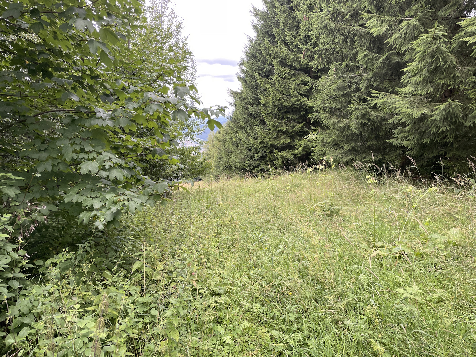
The tour led around the city of Trofaiach and then south through the forest to the lake of Traboch. Constantly the tour is a mixture of offering scenic views but also then shadow parts through the forest. Although the tour was easy, it turned out that it is badly marked (sometimes not at all) and on several occasions I heavily depend on my GPS.
Markings got much better after the lake but also the trail became very steep. Actually it feels that you have to do all meters in ascent of the entire tour in one go.
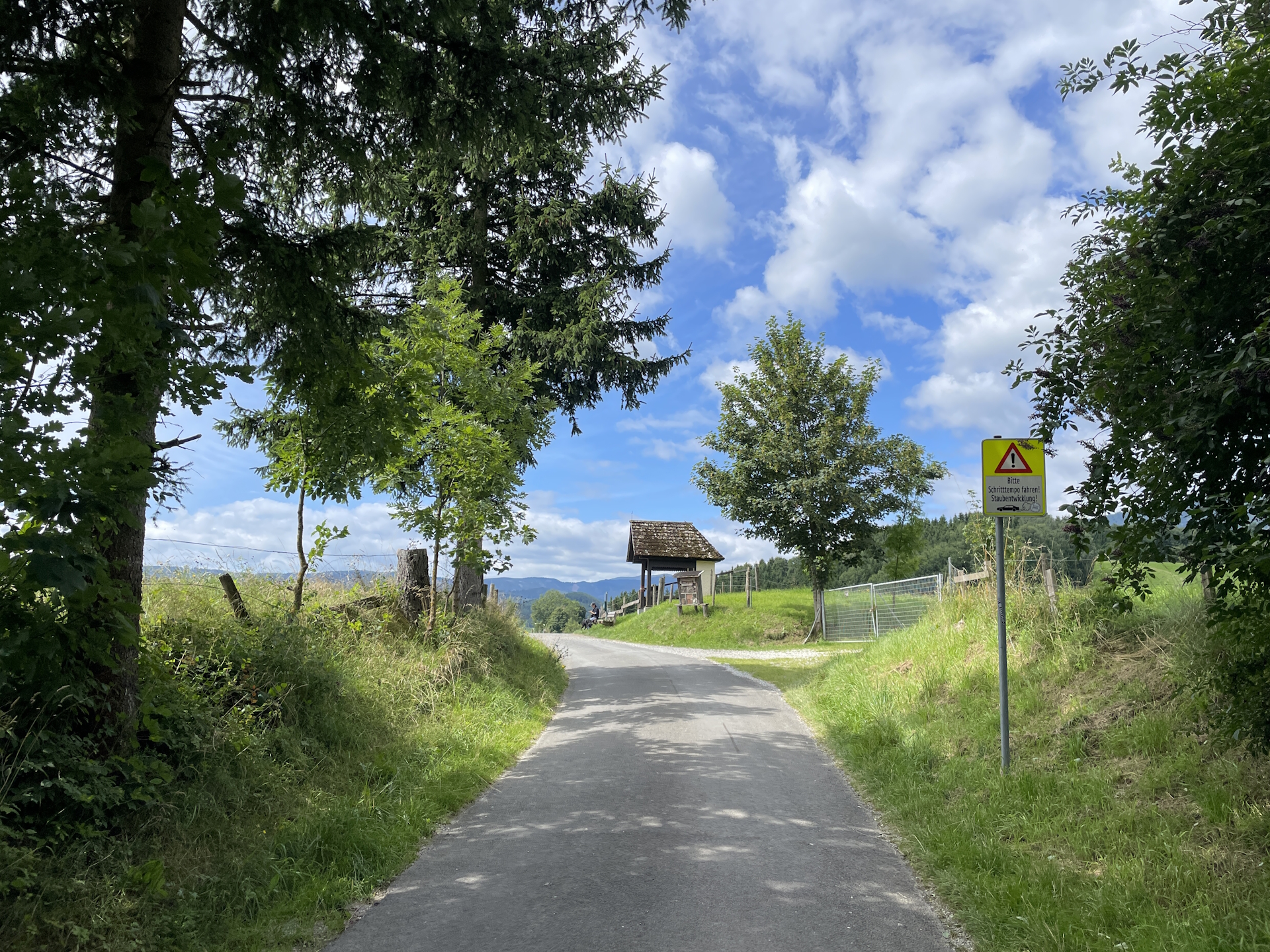
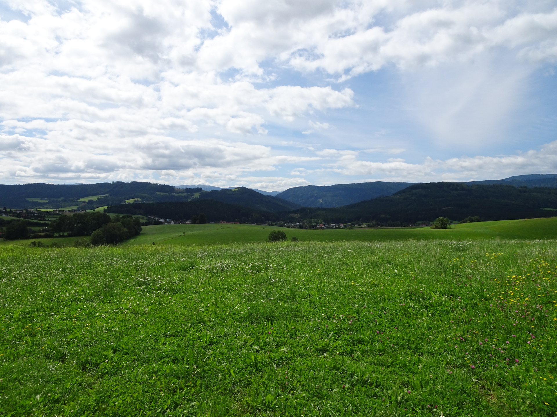
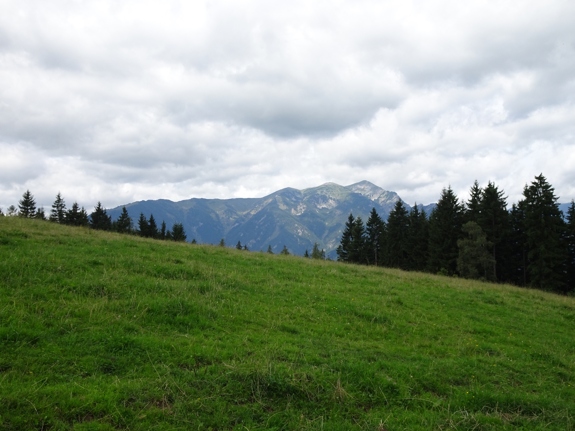
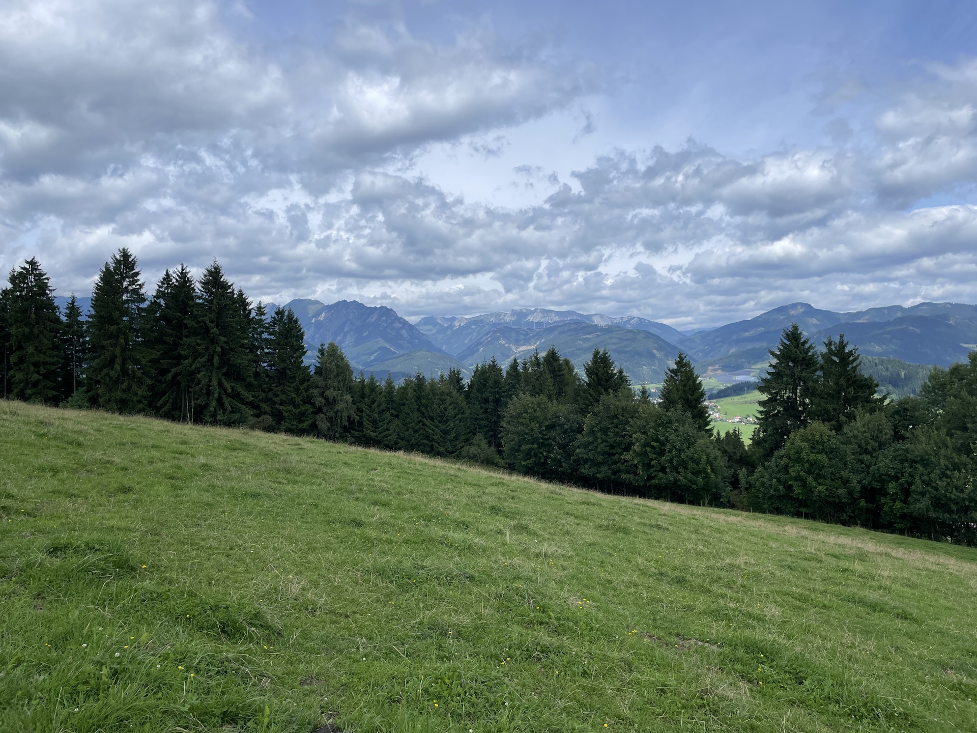
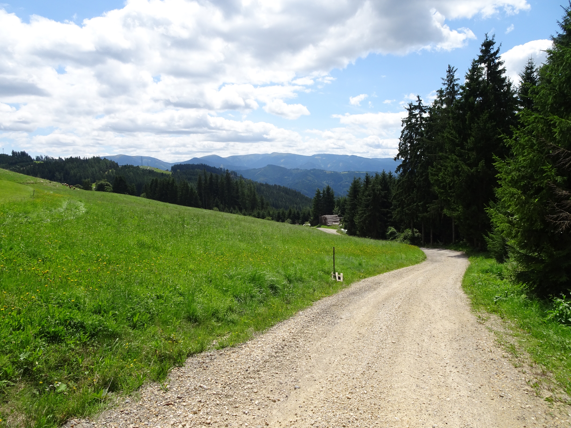
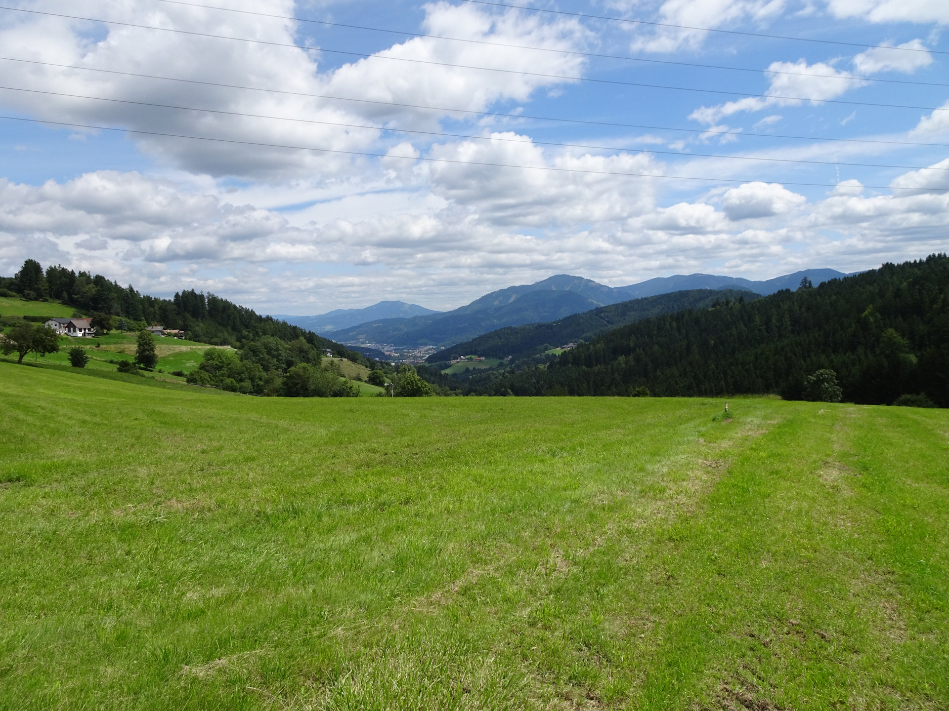
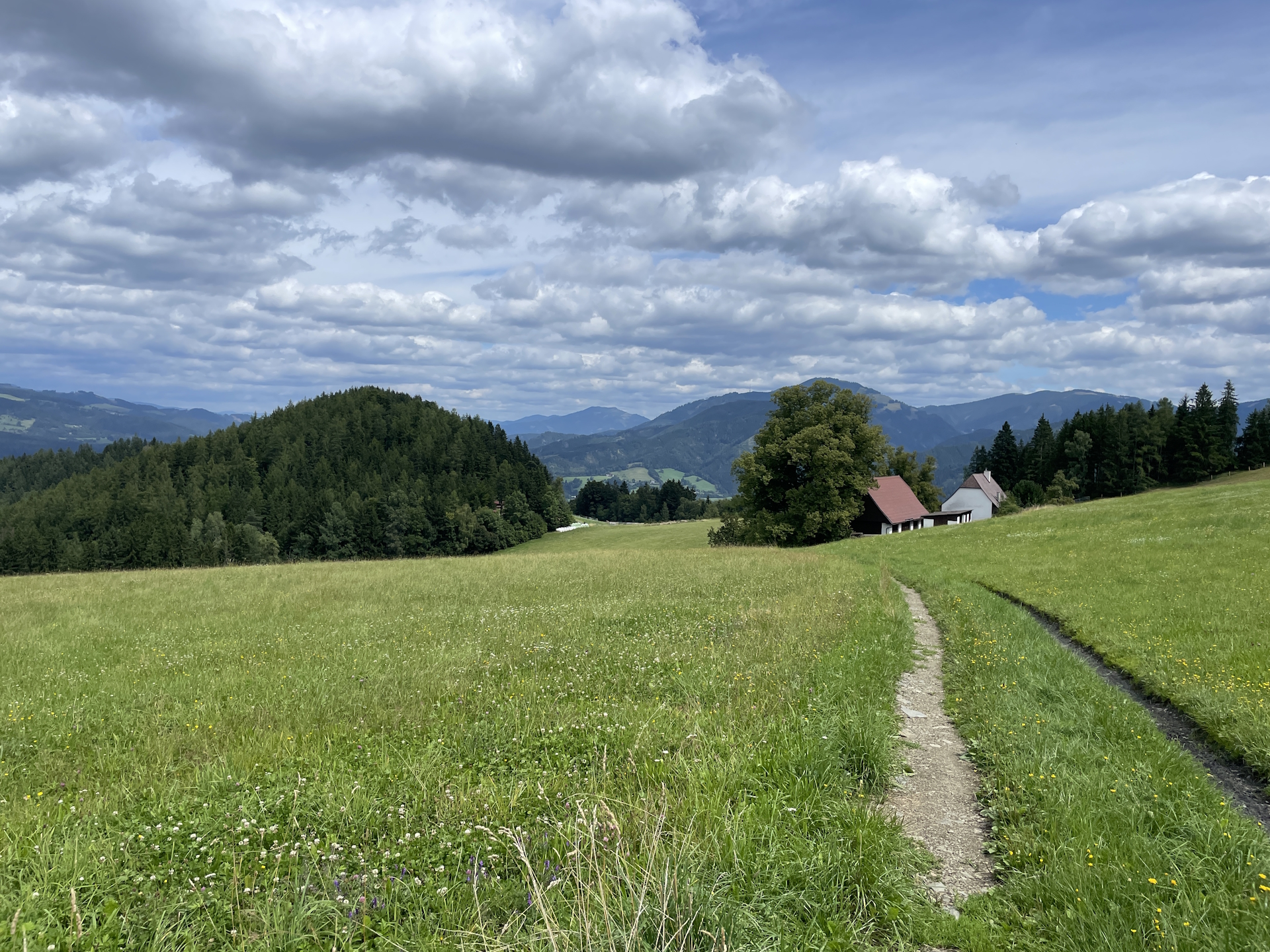
After mastering the steep ascent through the forest, the tour became again pleasant. On easy trails the tour offers impressive views and invites more than once to have a short rest.
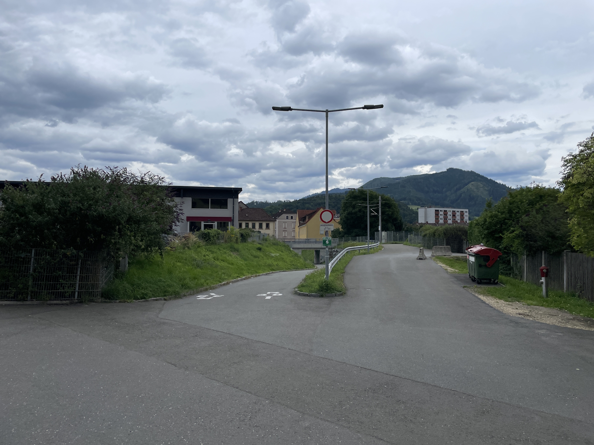
Shortly before arriving at the city border of Leoben, the markings could be better. In addition, mid of summer, gras was very high and the trail sometimes not visible. Anyway, with some logic I was able to find my way and made it to Leoben (Checkpoint).
I tried to get my stamp at the municipal office in Leoben but the first time ever, I failed as I was told that this is an official stamp that cannot be put into the hiking booklet.
As I planned to continue the next day for my final multi-day trip till Eibiswald, I deferred acquiring a stamp and went to the train station to catch the train back to Vienna.
Summary:
An easy stage still offering scenic and impressive views. The only drawback is that it feels that all meters of ascents are done in one go – after leaving the beautiful Trabocher See behind. Although I initially was expecting a very boring connection stage, I was proven wrong and found myself on a very enjoyable trip!
| 00:00 | Start at the bus station Trofaiach Hauptstraße/Zentrum. Immediately turn left into the Luchinettigasse and follow it for a few meters. Get your stamp at the municipal office located shortly before the end of the street. |
| 00:05 | Follow the street (keep right) towards the round-about. Stay straight and continue following the road towards the grocery store. You might consider stocking up your supplies at the local grocery store. |
| 00:15 | Continue following the road northwestwards. Just before the railway crossing, turn right and follow the trail alongside the railway northwards. |
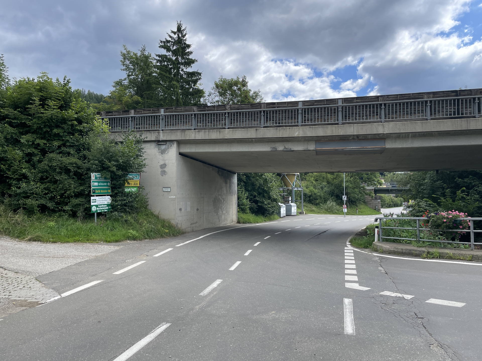
| 00:30 | At the end of the trail, turn left into the Krumpenstraße road, follow it below the bridge towards the city border. After the bridge, turn left into the official 05 trail southwards. |
| 00:35 | At the crossing, turn right and follow the gravel road westwards up the hill. |
| 00:40 | Keep straight and continue following the marked gravel road westwards. |
| 00:50 | At the crossing, turn right and follow the street westwards for a few meters. Turn left at the next crossing and follow the street southwards. |
| 01:00 | At the crossing (end of the street), turn left and follow the road eastwards. |
| 01:05 | Turn right and follow the street southwards At the end of the street, continue following the trail (watch out for the rarely markings!). |
| 01:10 | Turn sharp right and then keep left and continue following the trail through the forest. |
| 01:15 | (easy to overlook): A few meters after the lake and at the rest area, turn right and follow the barely visible trail. |
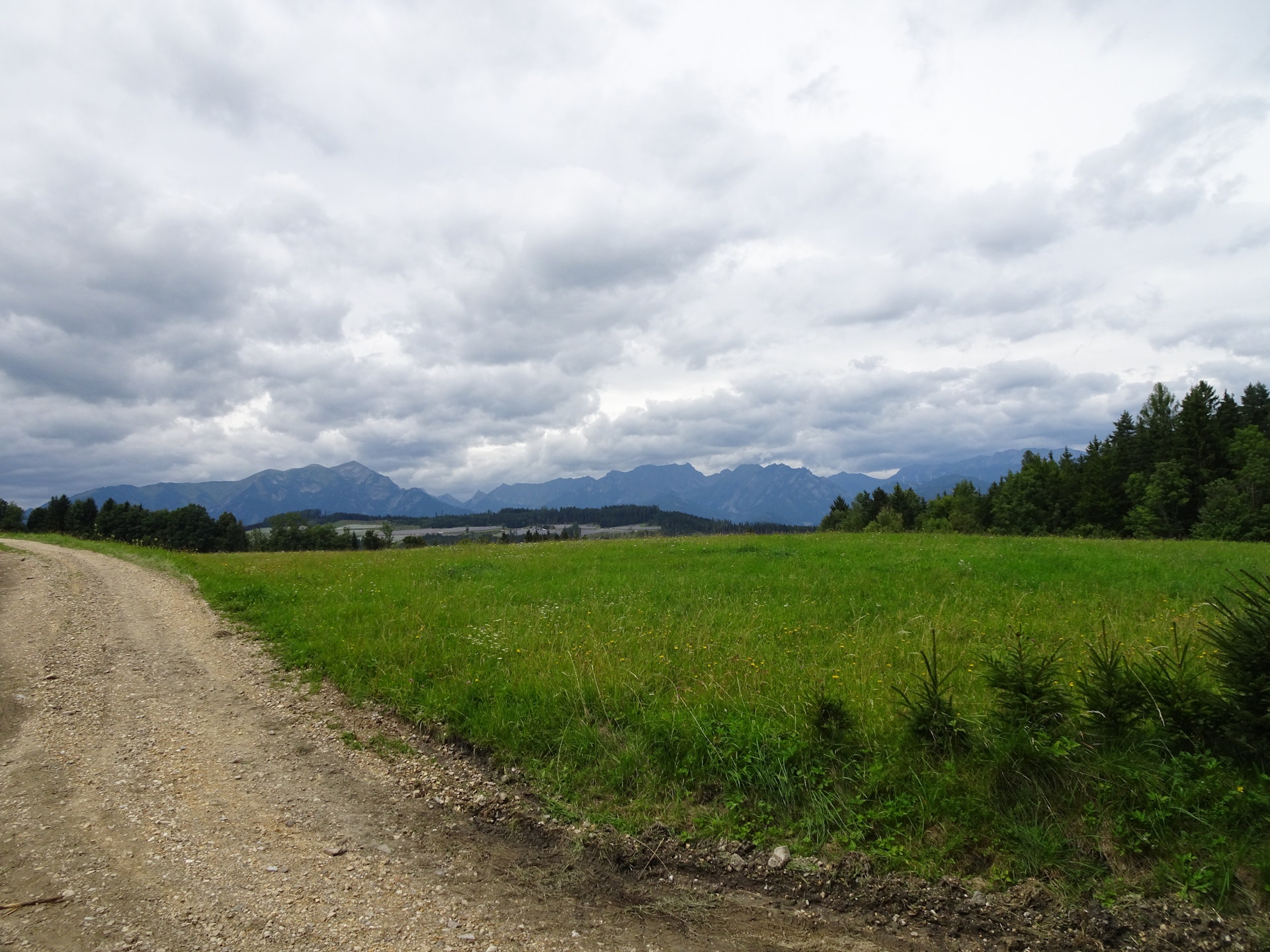
| 01:20 | At the end of the trail, turn sharp left and follow the gravel road westwards through the beautiful meadow. |
| 01:30 | In Obergausendorf, turn left twice and follow the street through the village towards the main road. |
| 01:40 | Cross the main road and continue following the street on the other side southwards. |
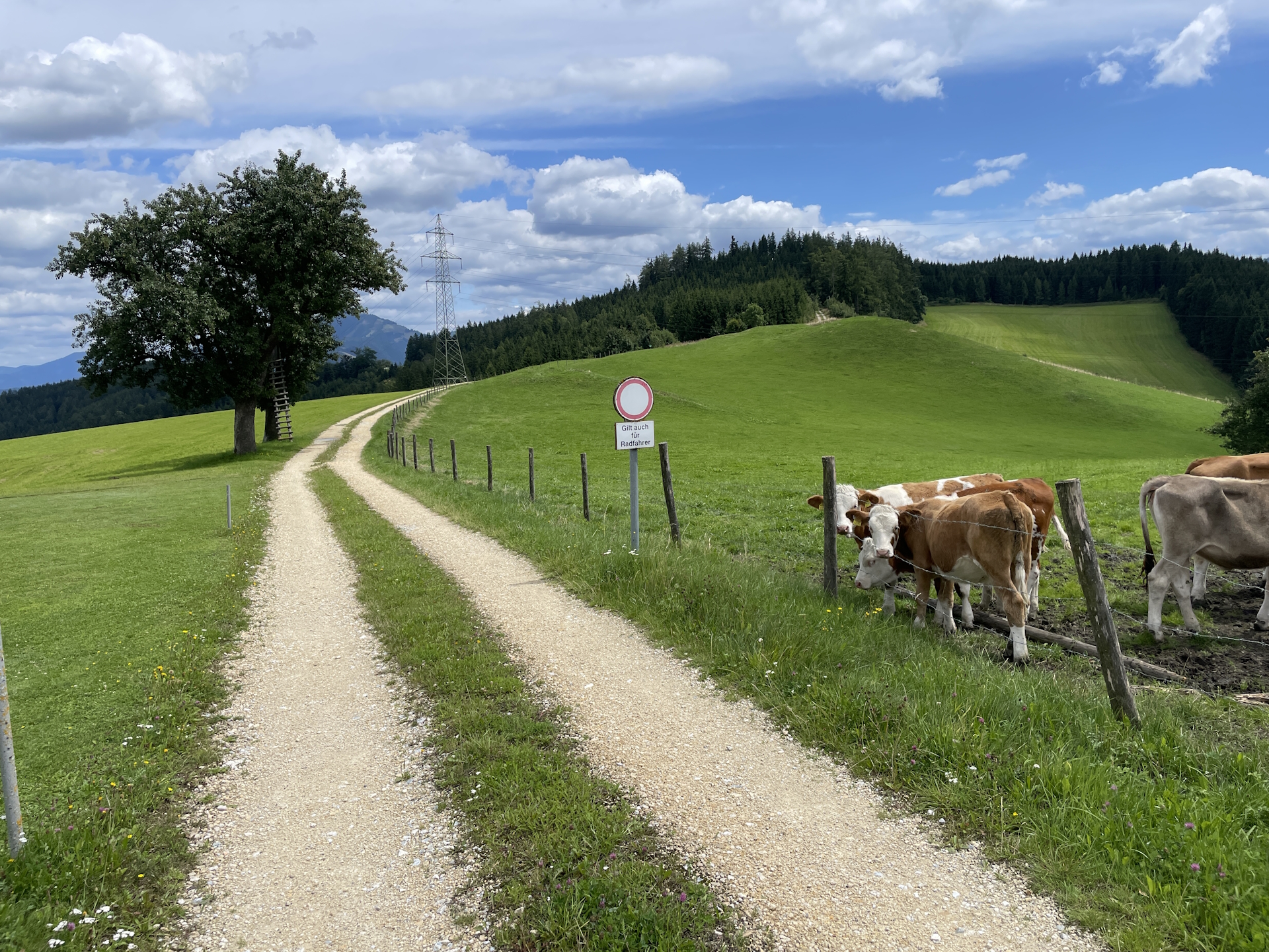
| 01:45 | Bypass the last house and now follow the gravel road besides the forest and the meadow southwards. Markings are getting rare from here! At crossings in the forest, keep straight. |
| 02:00 | At the crossing, keep slightly left and then follow the forest road eastwards. |
| 02:05 | Turn right and follow the main road towards the lake for a few meters. Just before the lake, turn left into the smaller street (Trabocher Straße). Follow the red-white-red markings. |
| 02:10 | At the first crossing, keep right and follow the Greimerweg upwards. At the end of the street, follow the marked trail through the forest becoming steeper and steeper. |
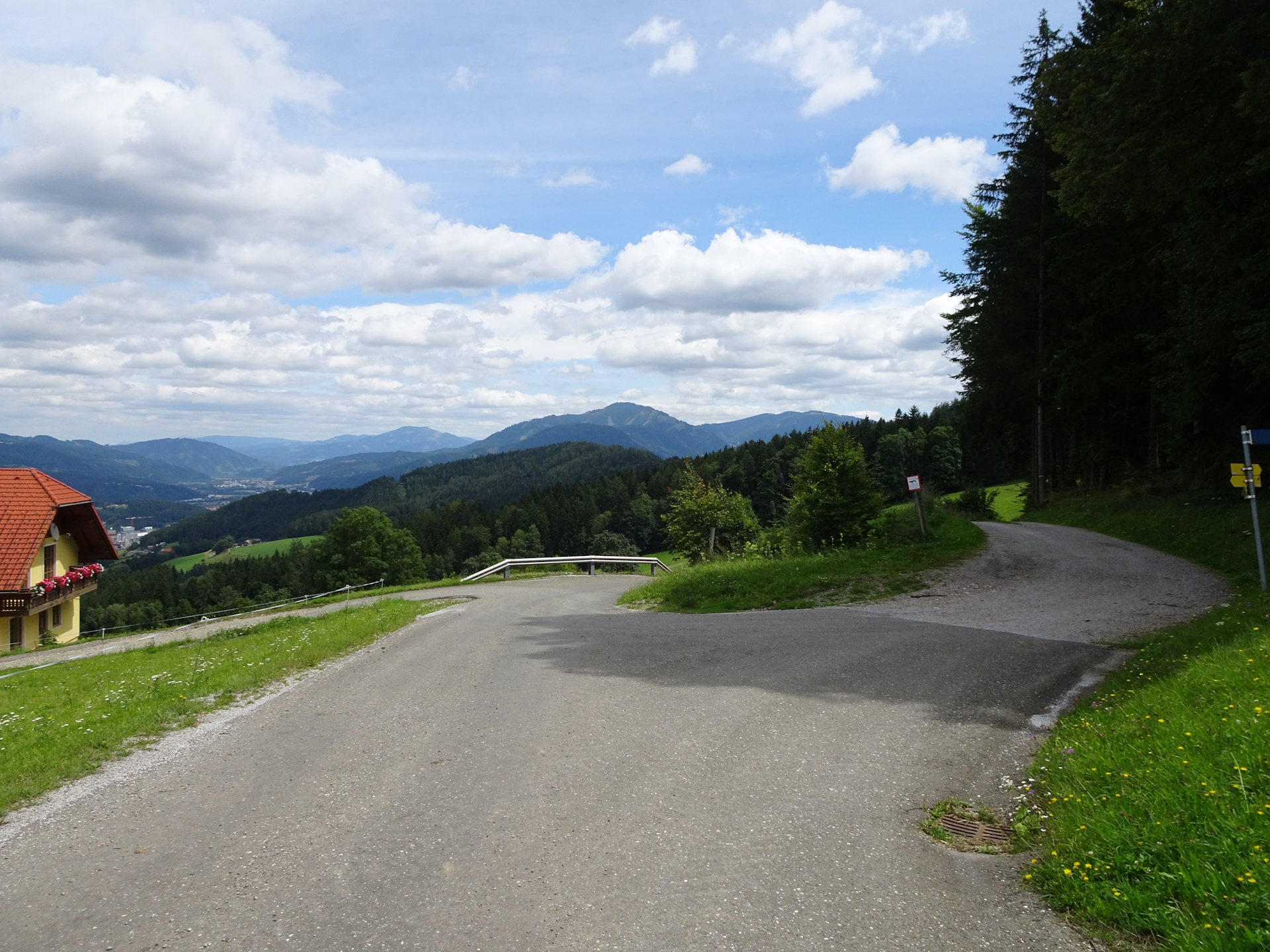
| 02:40 | After the farm, keep straight and follow the street southwards. You might consider a short break enjoying the amazing view from here! |
| 03:00 | At the crossing, turn right and follow the street southwards. |
| 03:10 | At the crossing in front of the Schollinger farm, turn left and follow the Niederungweg westwards. |
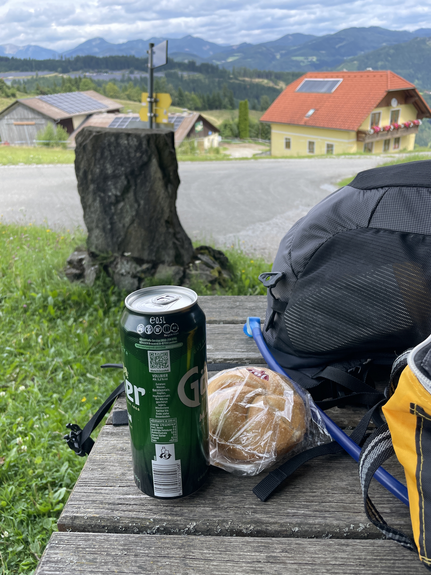
| 03:20 | Well-deserved break at the rest area at the crossing. Time to enjoy a self-brought lunch (). |
| 03:35 | Continue following the right (upper) trail southeastwards. |
| 03:40 | Keep left and follow the trail through the forest eastwards. |
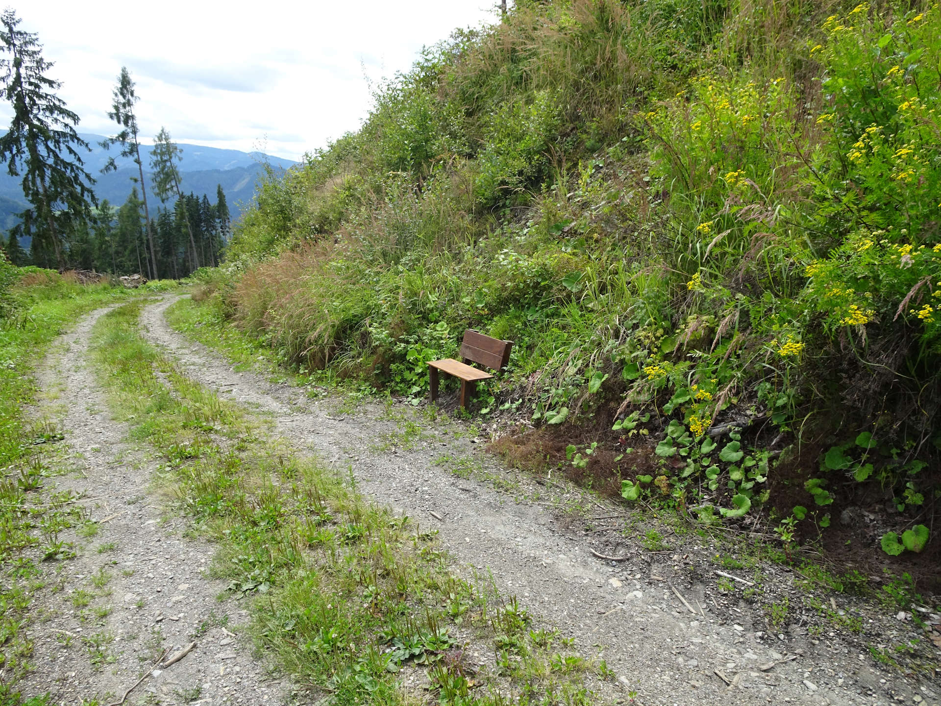
| 03:55 | Recommended detour: At the crossing, turn right and follow the gravel road southwards for a few meter. After a few meters you reach an amazing viewpoint with a bench, inviting for a deserved short break – best enjoyed with a self-brought refreshment (). Then return to the crossing. |
| 04:00 | Continue following the trail on the Niederungweg now northwards. |
| 04:05 | Keep left and continue following the marked trail. |
| 04:20 | Keep left and continue following the marked trail eastwards. The markings are bad again and sometimes the trail leads through high grass not being visible. |
| 04:30 | Turn right into the street and follow the street down into the city of Leoben. |
| 04:40 | At the end of the street, turn left, follow the main road for a few meters and then at its turn (before the gas station) turn right. Then follow the small street into the center. Cross the Mur river via its bridge to access the city center. |
| 04:55 | In the city center, turn left and follow the street through the square northwards. The trail will again cross the Mur via a bridge in front of the train station. |
| 05:00 | Arrive at the train station, end of the tour. |
| Area: | Erzberg-Leoben, Styria, Austria | |
| Distance: | 1.75km + 22.35km 24.1km (total) |
|
| Ascent: | 24m + 512m 536m (2h 00min) |
|
| Descent: | 651m (1h 55min) | |
| Highest Pt: | 925m | |
| Lowest Pt: | 536m | |
| Duration: | 4h 40min (without breaks) 5h 00min (with breaks) |
|
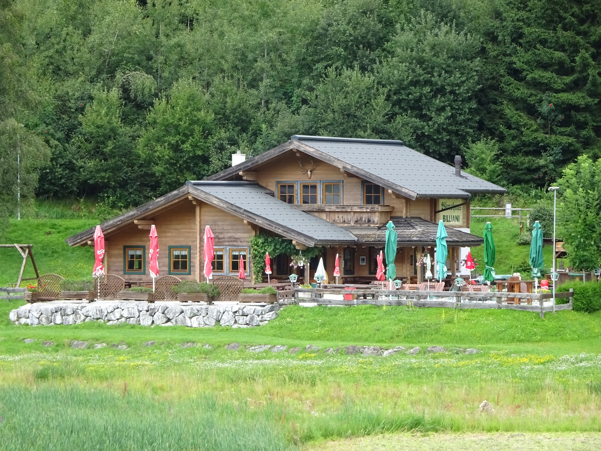
| Stop/Rest: | Wirtshaus am See (638m) | |
| Equipment: | Backpack with standard hiking equipment Comfortable hiking shoes Snacks, Food and plenty of water 1-2x Gipfelbier Sun & Weather protection Camera |
| Download GPX | ||
| O | Tour at outdooractive.com |
At a glance
| Level | easy-medium |
| Technique | |
| Shape / Fitness | |
| Experience | |
| Scenery | |
| Best time in the year | |
|
Jan
Feb
Mar
Apr
May
Jun
Jul
Aug
Sep
Oct
Nov
Dec
|
|
Leave a Reply