
Third stage of the Nord-Süd-Weitwanderweg 05 starting from Altmelon via Schönbach and Bad Traunstein to Ottenschlag.
 |
The North-South-Long-Distance trail (Nord-Süd-Weitwanderweg, also known as the “05”) starts in the north of Austria at Nebelstein and ends in the south of Austria at Eibiswald. The trail is ~500km long, ~18 000m in ascent and the same amount in descent. The trail was initiated by Carl Hermann and officially established on the 25th September 1970. The trail is separated into 3 parts:
It normally takes 3 weeks to complete the entire trail. |
The here presented tour is the third stage of the Nord-Süd-Weitwanderweg 05 .
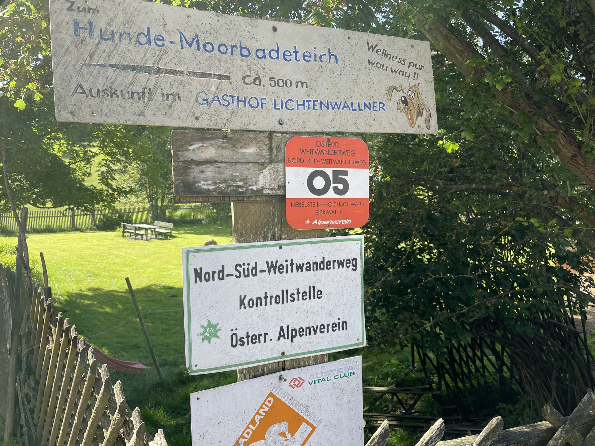
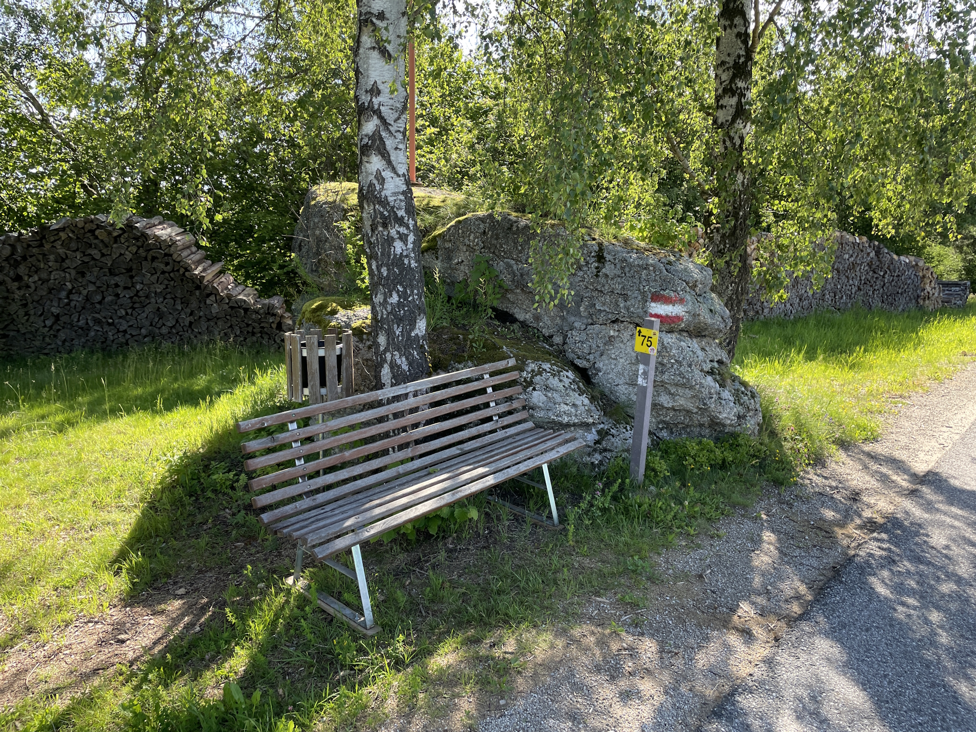
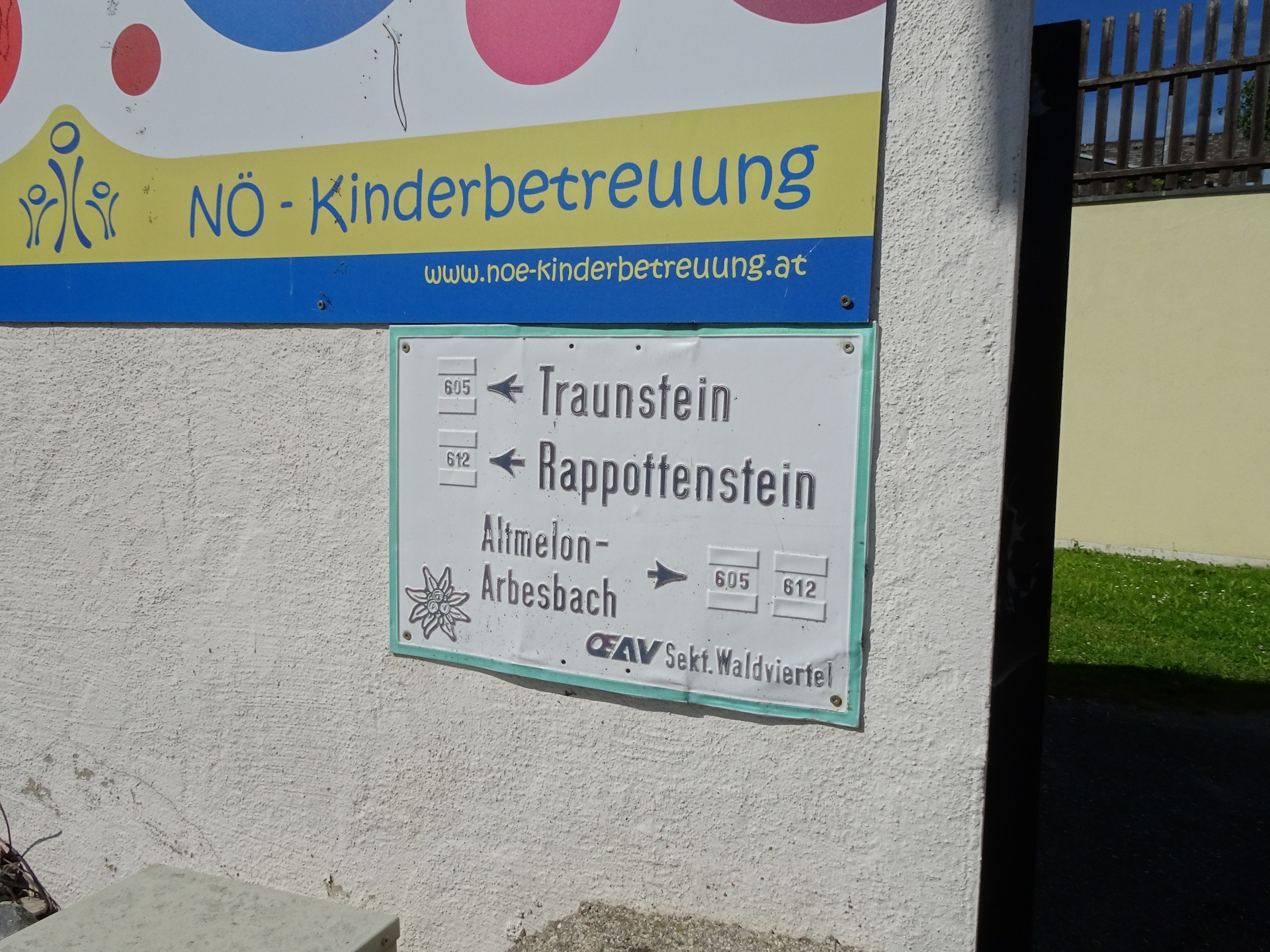
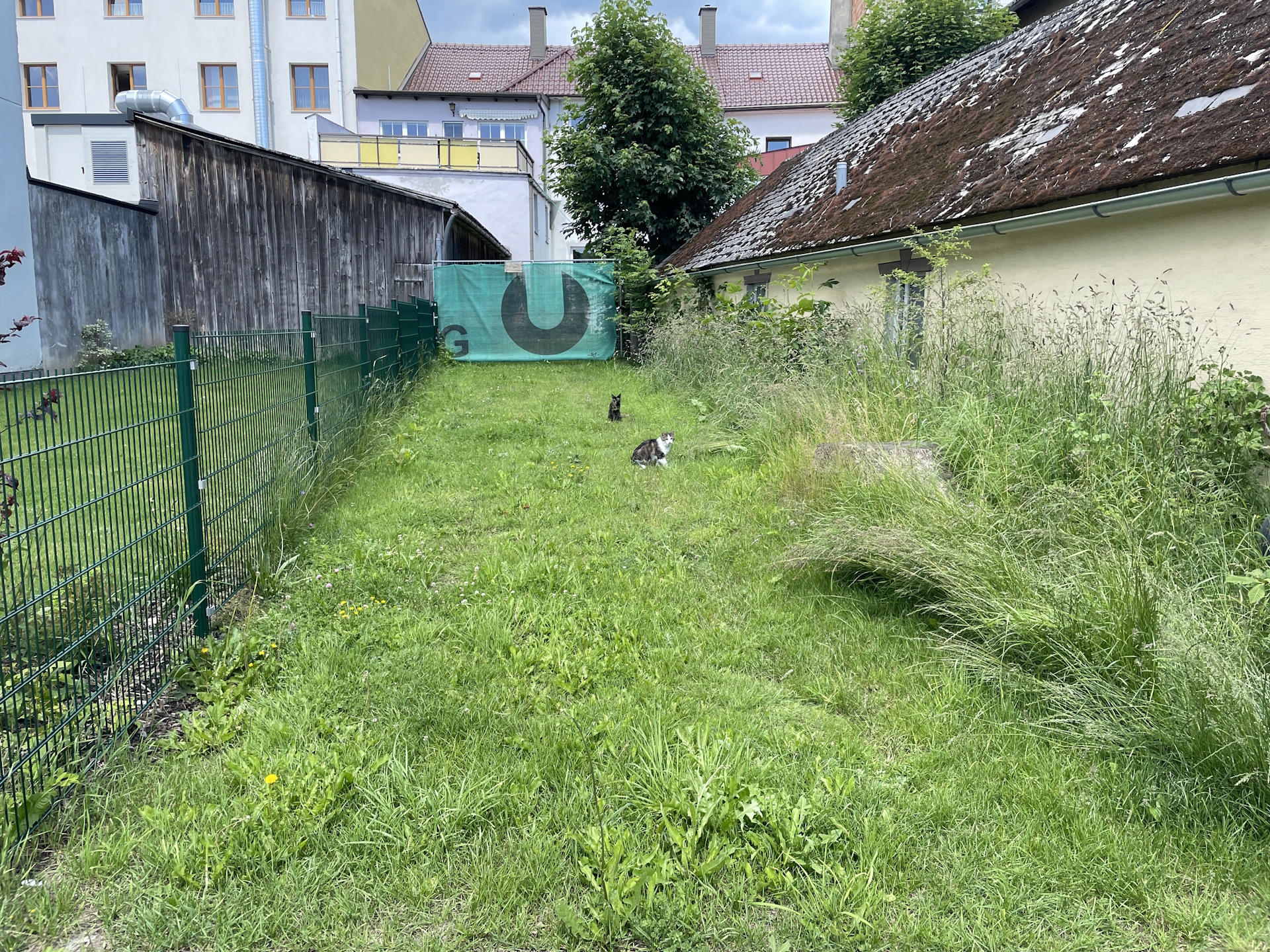
The tour starts at the bus station Altmelon (Checkpoint) and first follows the main road B119 northeastwards, bypassing the Kirchenwirt Lichtenwallner and following further the road to the border of Altmelon. The tour then turns right and follows trails and roads eastwards to Schönbach (Checkpoint). The tour then continues following a combination of paved roads, gravel roads and trails eastwards to Anschaumühle, Anschau and further to Glashütten. After crossing the street L78, a small detour is suggested to visit the Steinerne Rast, which invites for a well-deserved break before continuing the hike towards Bad Traunstein (Checkpoint).
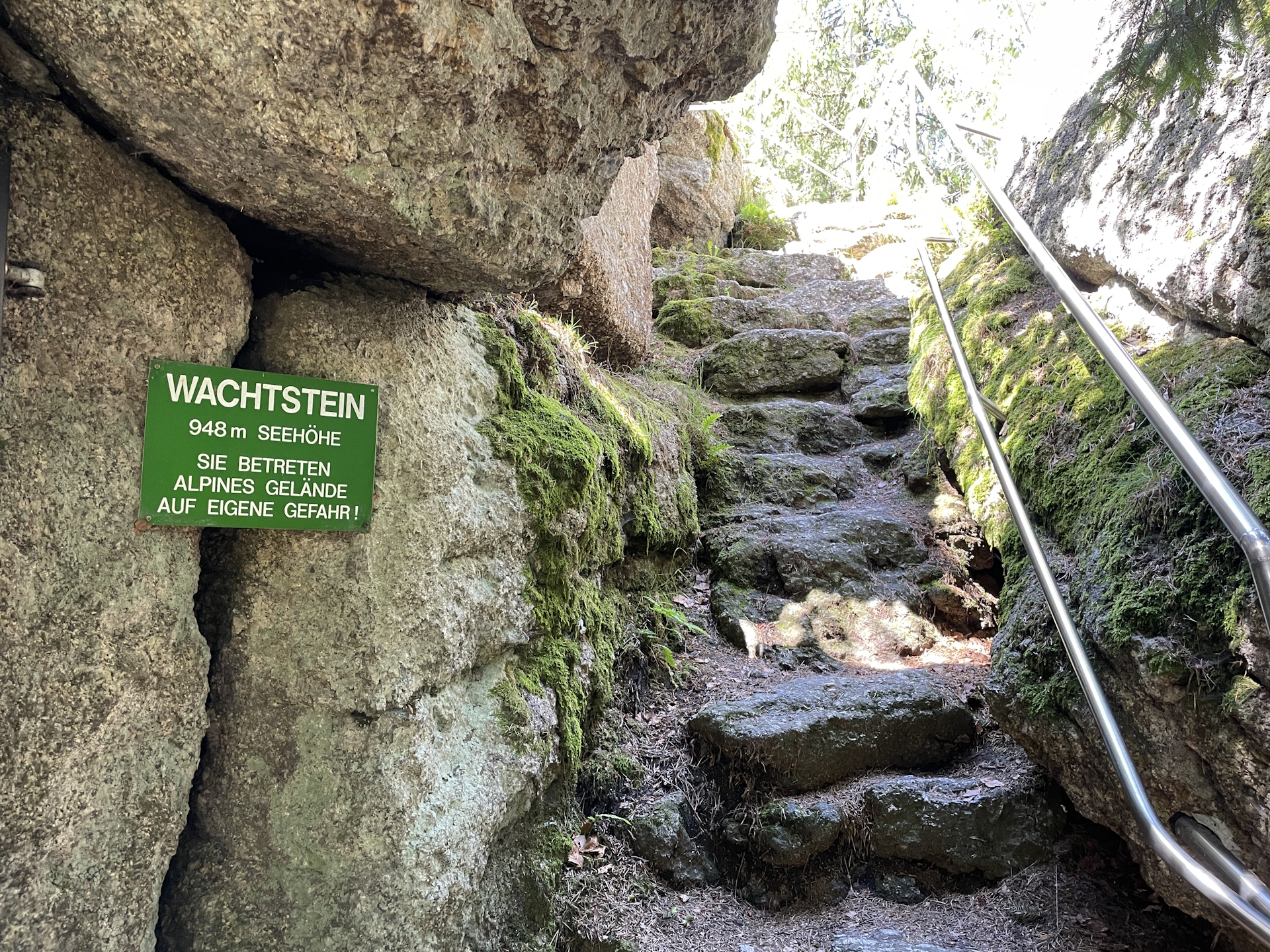
Before entering Bad Traunstein, a second detour is recommended, hiking up to Wachtstein and Tau, providing a scenic view from the viewing platform. After collecting the stamp and having a well-deserved lunch break, the tour continues following mainly paved roads eastwards heading into a forest and the there located Weierteich. The tour then finally leads directly into the city center of Ottenschlag (Checkpoint).
| Nord-Süd-Weitwanderweg 05 – Checkpoints | |
|
Transportation:
As I’ve planned a single day-trip to accomplish this stage, I used my car to drive to Altmelon and parked it there next to the school. I then hiked to Ottenschlag and took the afternoon bus back to Altmelon:
- Bus 780 from Ottenschlag Oberer Markt (16:33) Zwettl Kampparkplatz (17:00)
- Bus 736 from Zwettl Kampparkplatz (17:31) Rappottenstein Ortsmitte (17:52)
- Bus 735 from Rappottenstein Ortsmitte (17:56) Altmelon Ortsmitte (18:25)
Due to the late bus service in Ottenschlag, the tour can be done fairly slow and allows for several breaks.
Please note that the bus service only operates on school days (Mo – Fr)!
The hike:
Due to the fact that the bus services from Ottenschlag is only operating later in the afternoon, I started the hike on a weekday (Monday) in late in the morning (8:15). Doing the stage during the week allows for two important things: (1) the bus from Ottenschlag back to Altmelon is operating only during school days (not on the weekend!), and (2) stamps can be collected at the municipal offices, thus not being dependent on opening hours of restaurants.
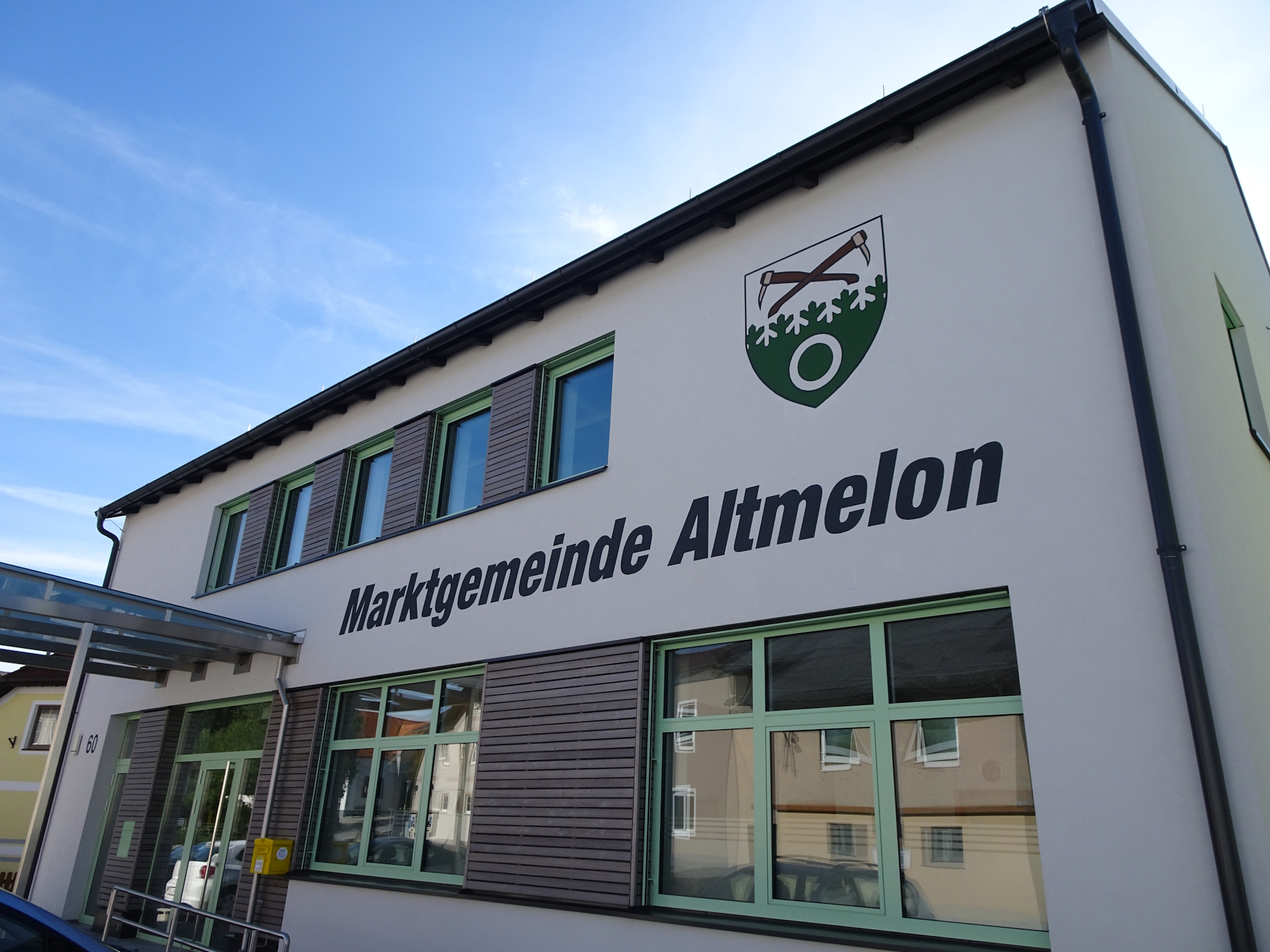
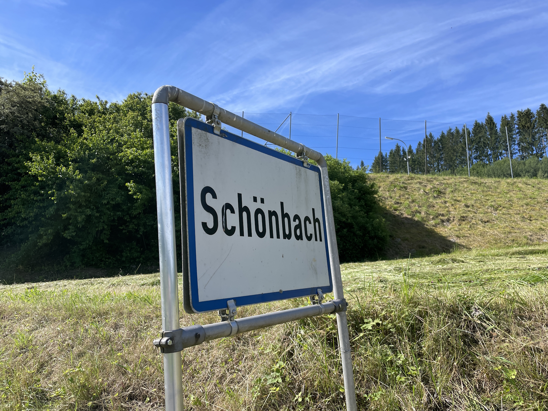
I used my car to drive to Altmelon and parked it there on the parking next to the school. If not done in the previous stage, the first stamp can be acquired at the municipal office Altmelon. I had the stamp already from the previous stage so I’ve started directly the tour towards Schönbach.
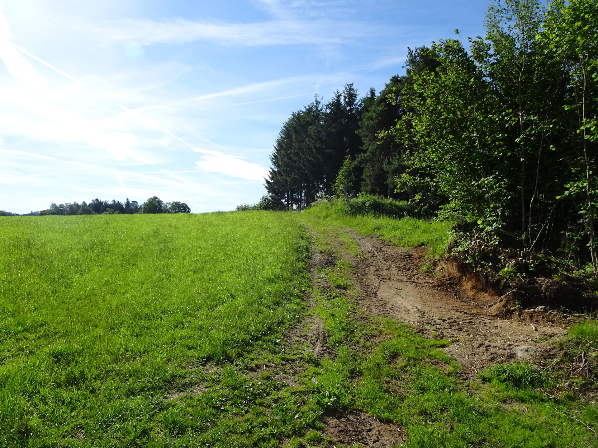
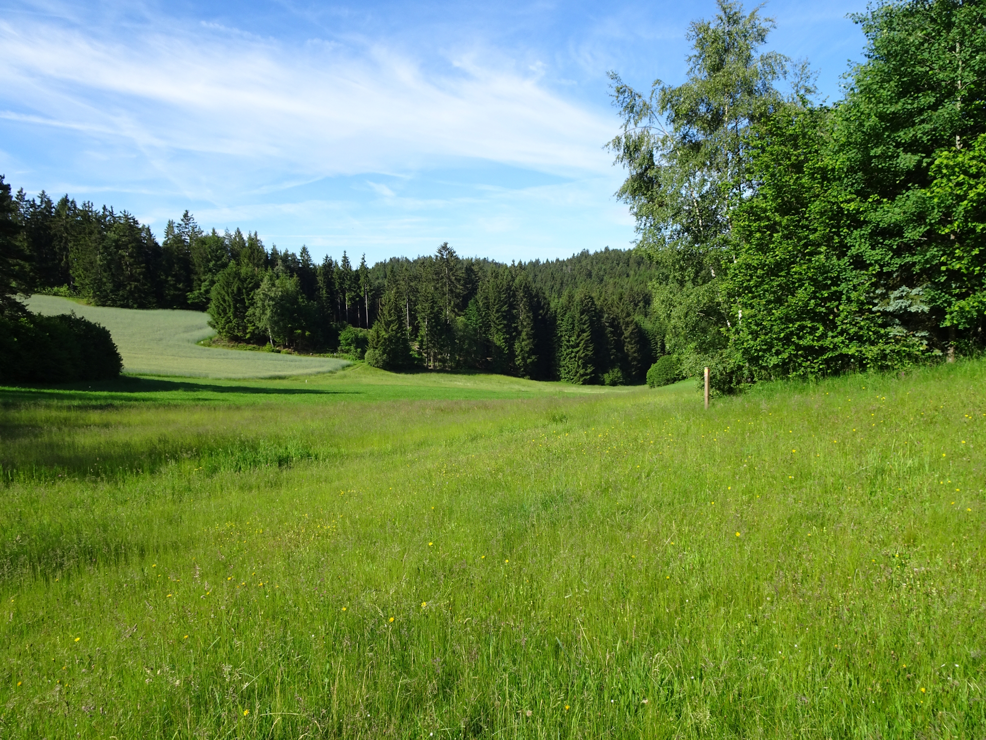
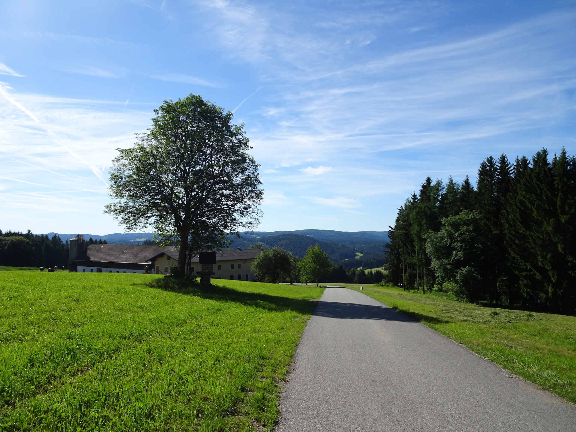
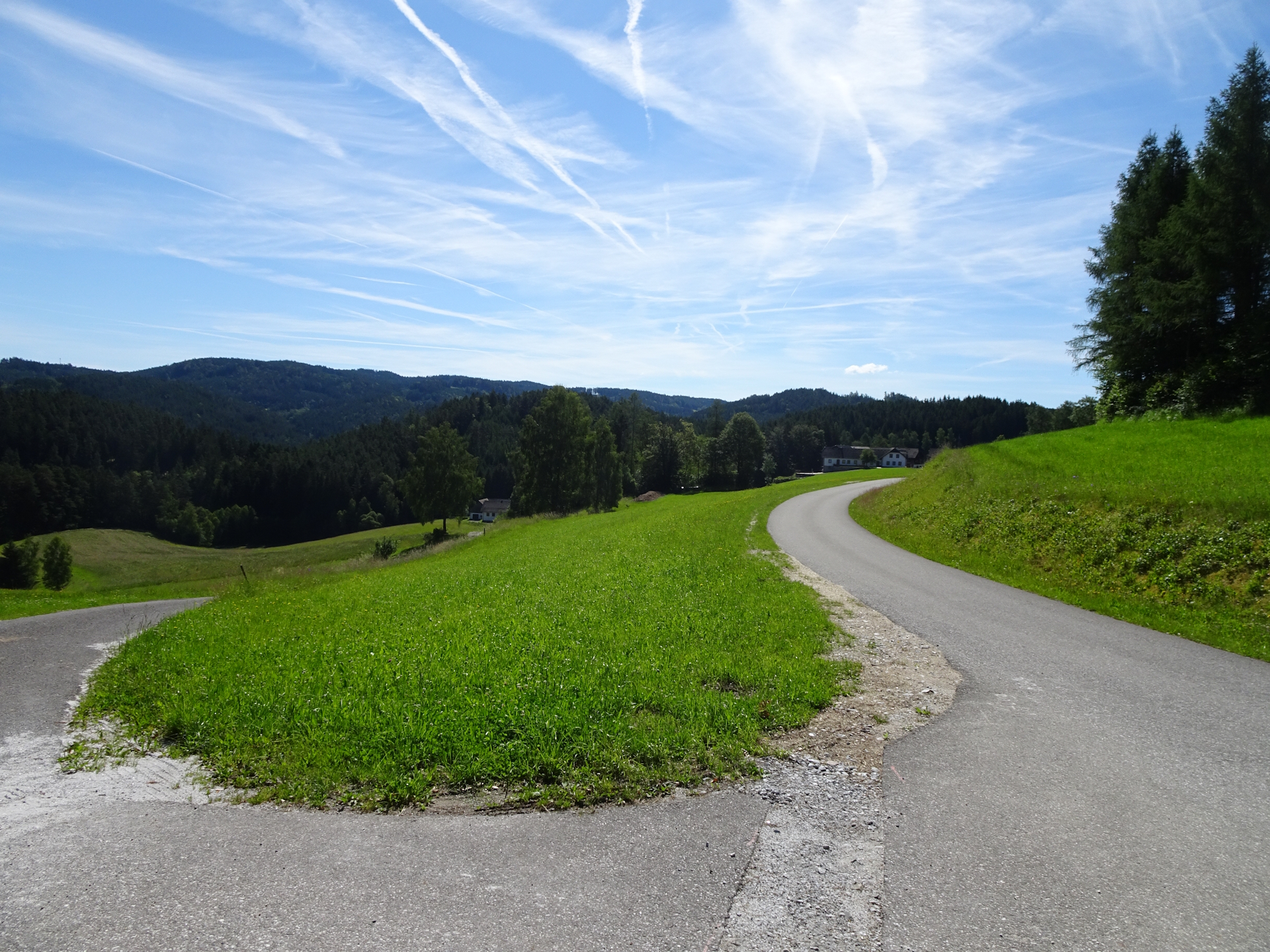
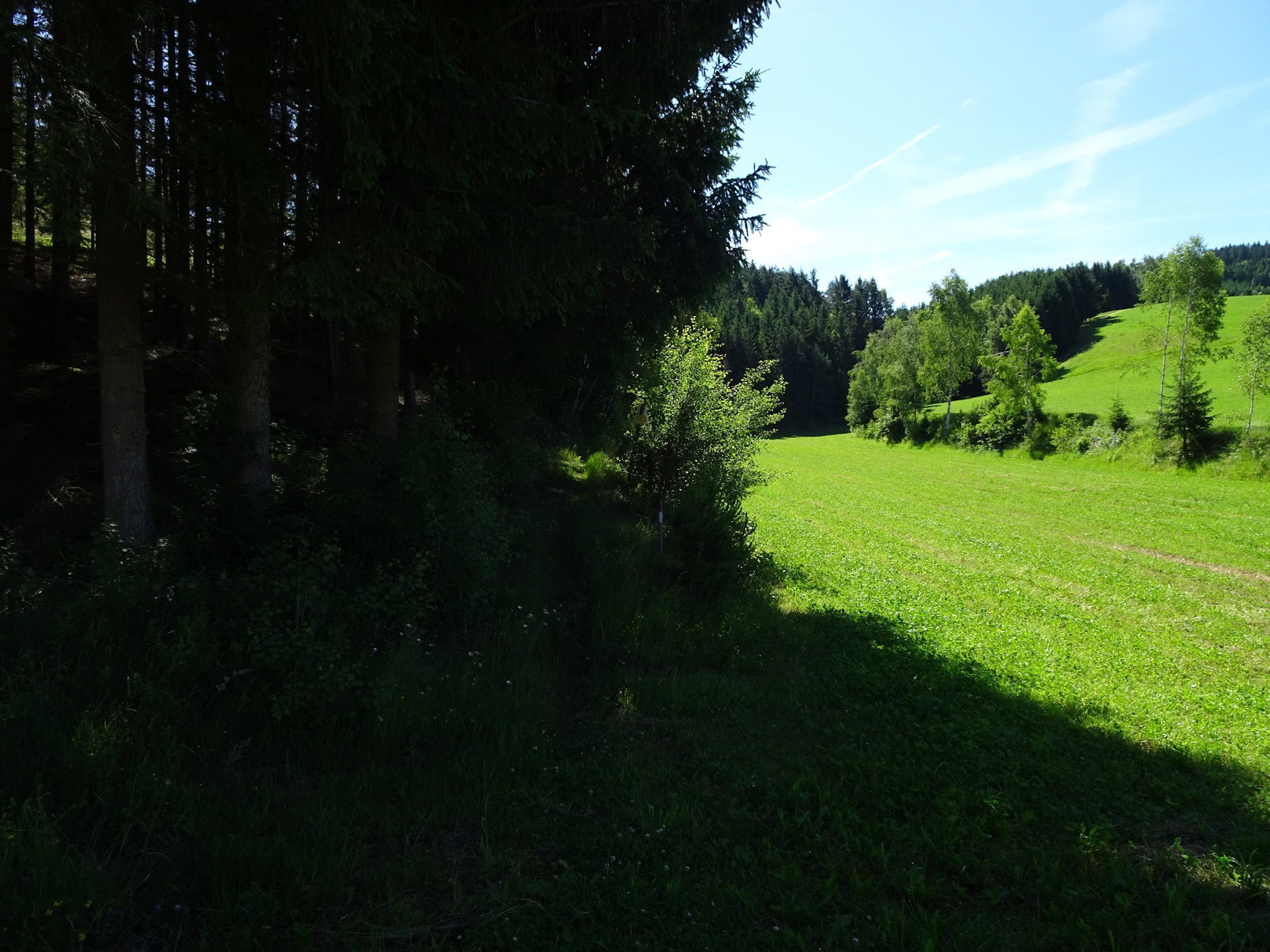
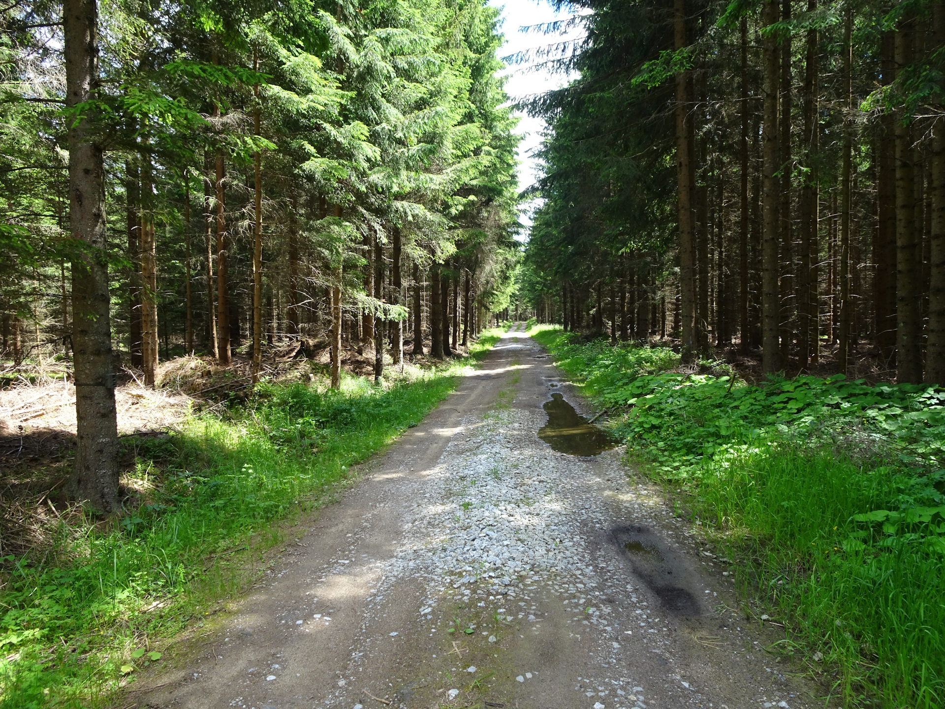
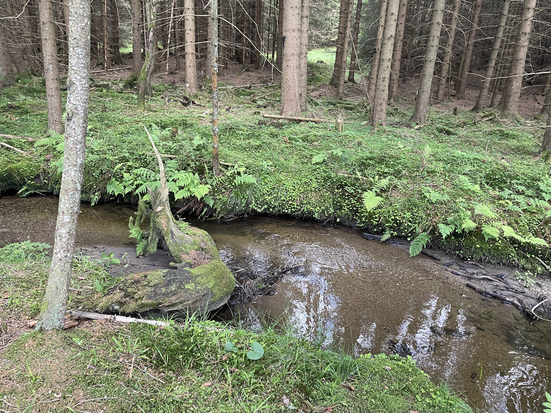
The entire stage is done mainly on tarmac roads and exposed to sun with some welcomed exceptions of forest roads. In addition, several times the trail uses annoying occupied streets with no sidewalk but fast traffic. All these leads to the fact that this stage will not make it to my favorites.
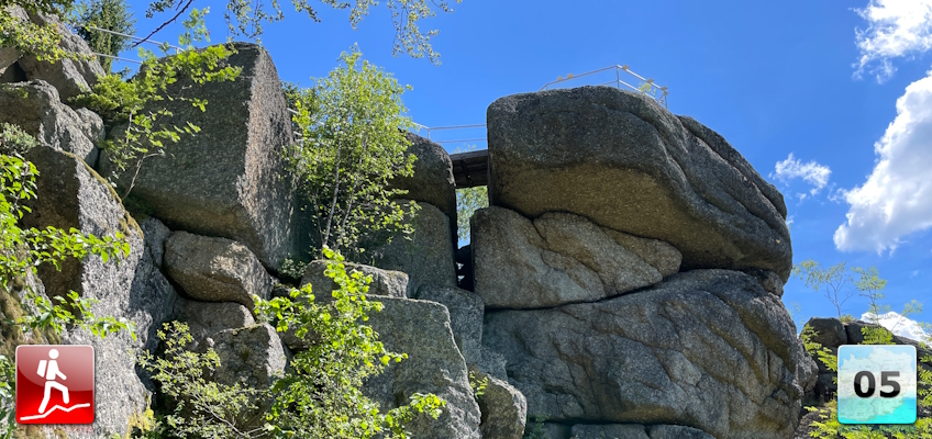
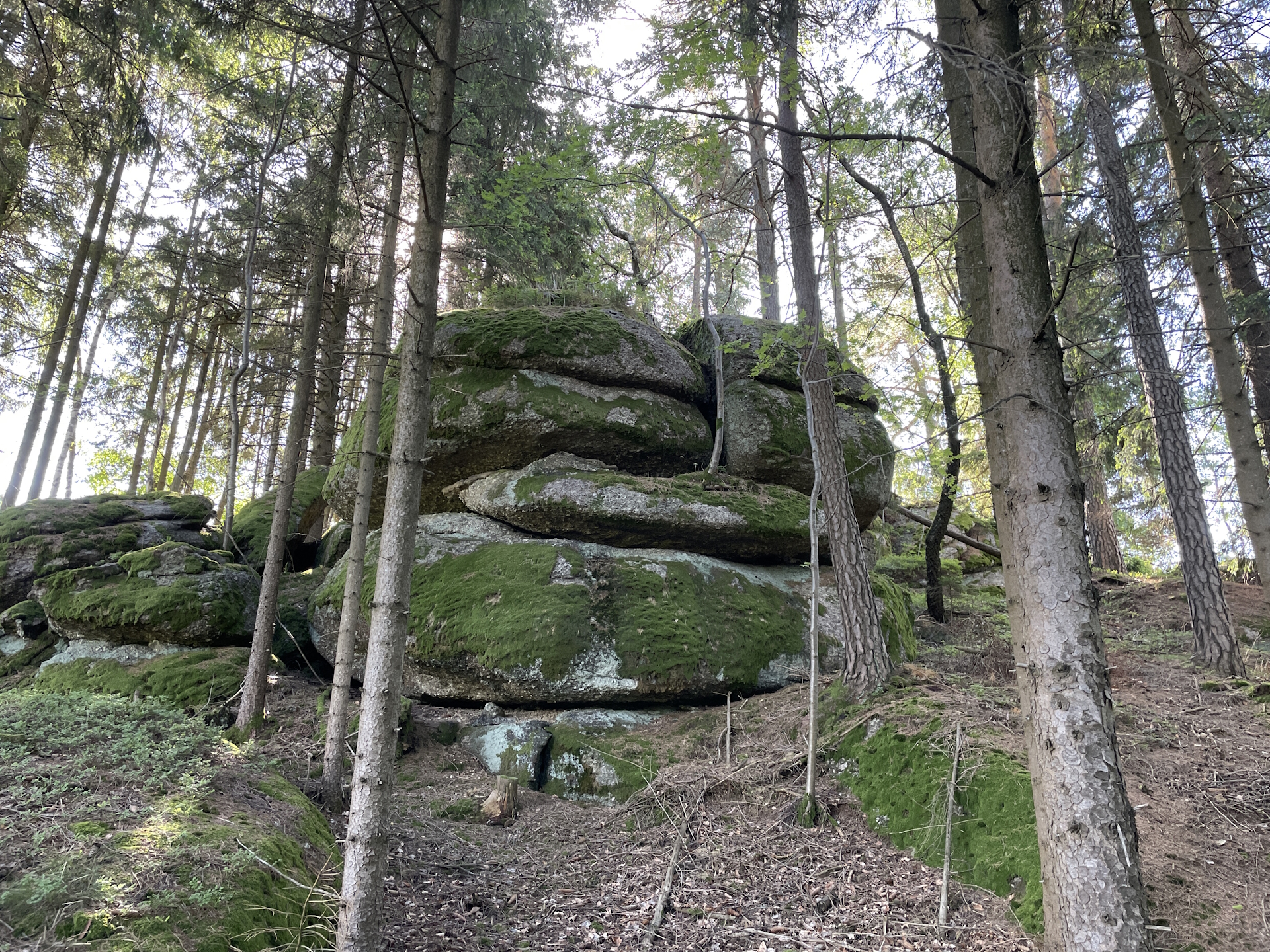
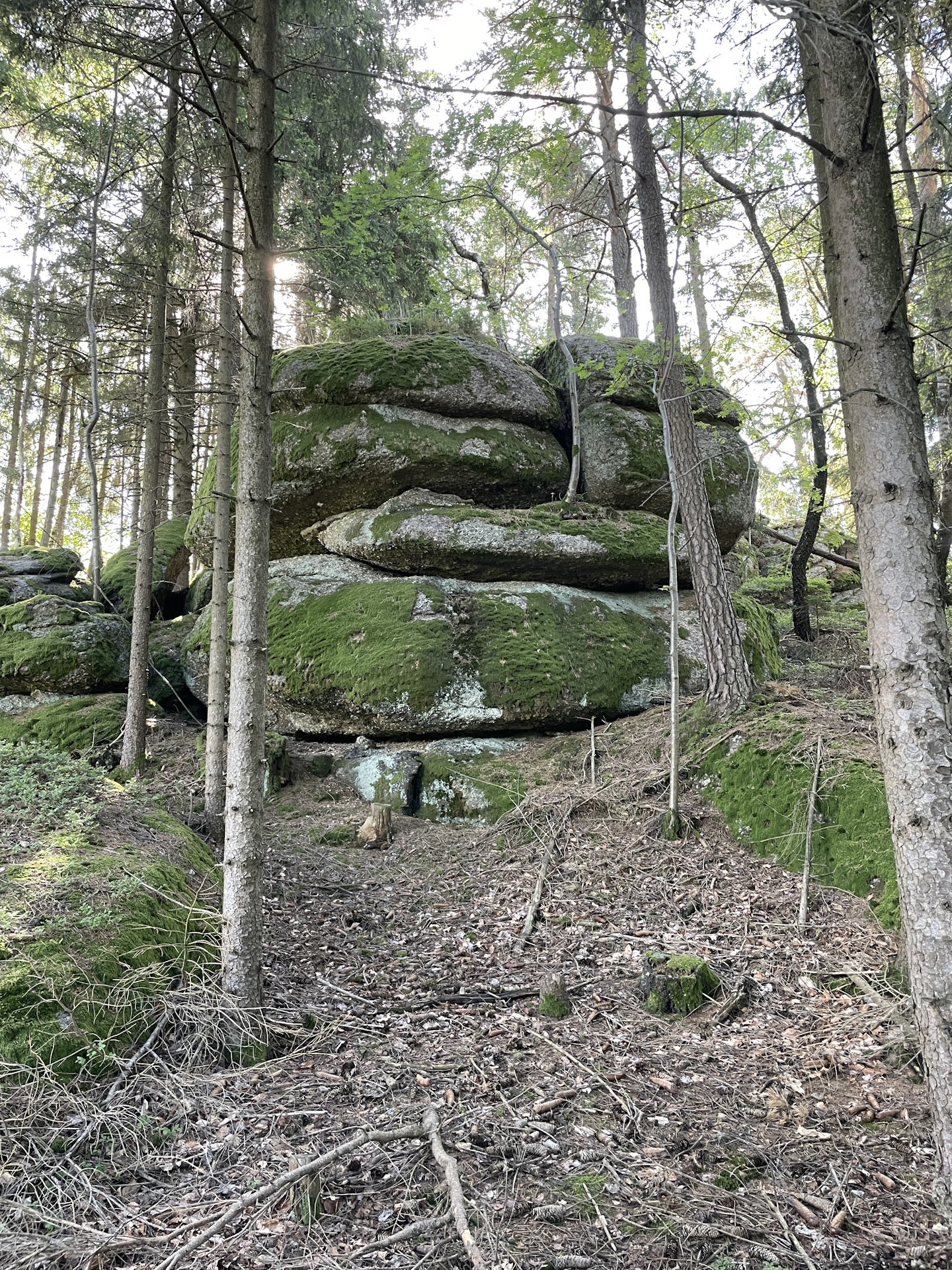
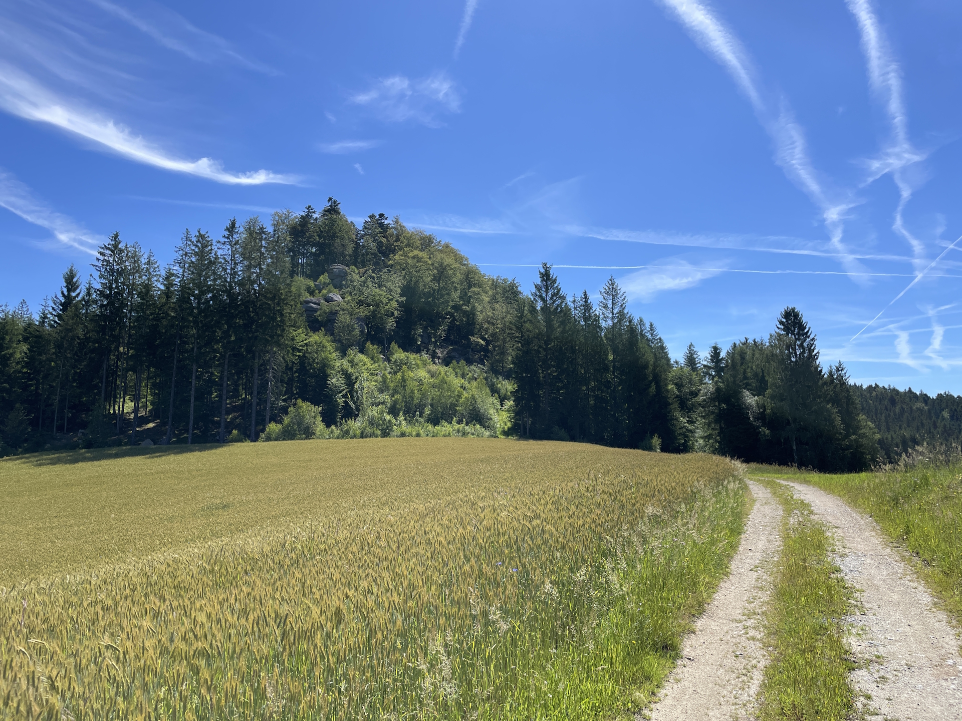
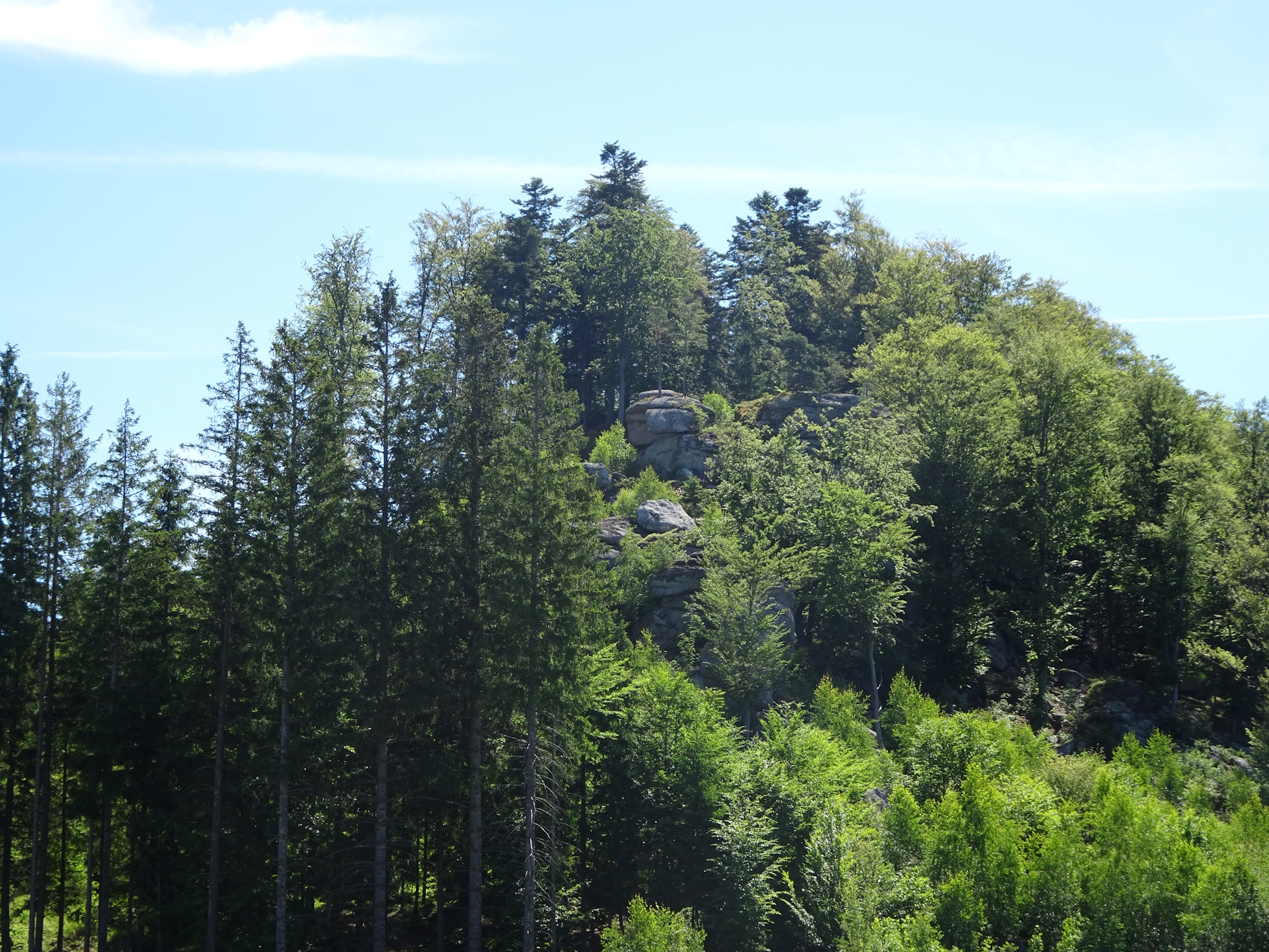
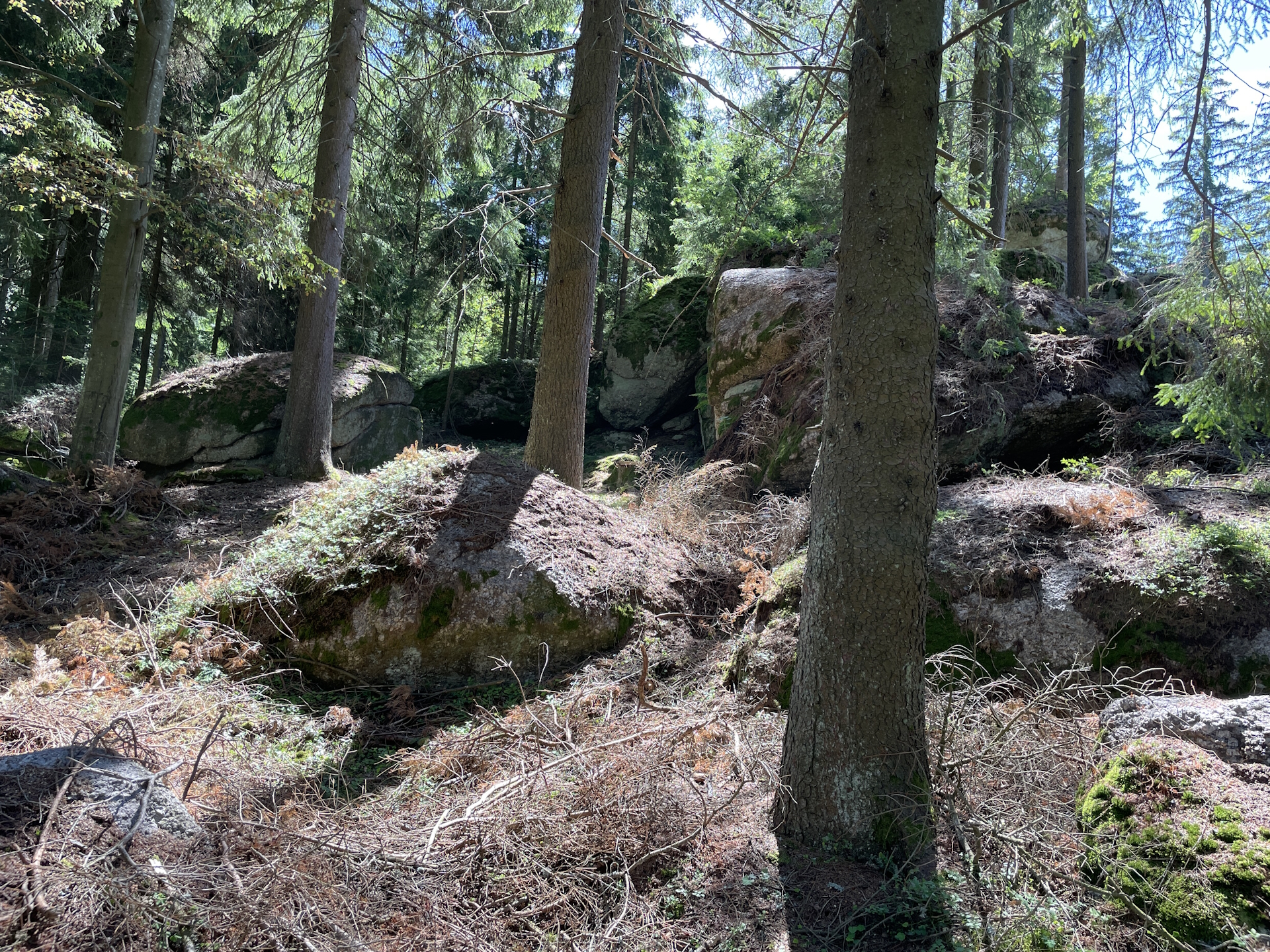
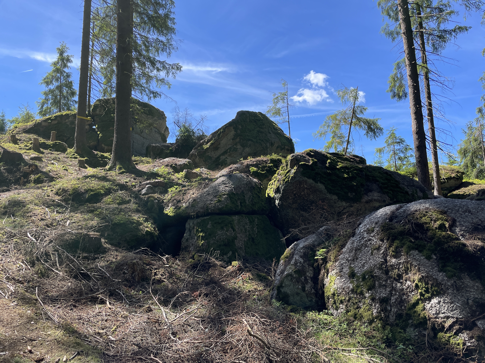
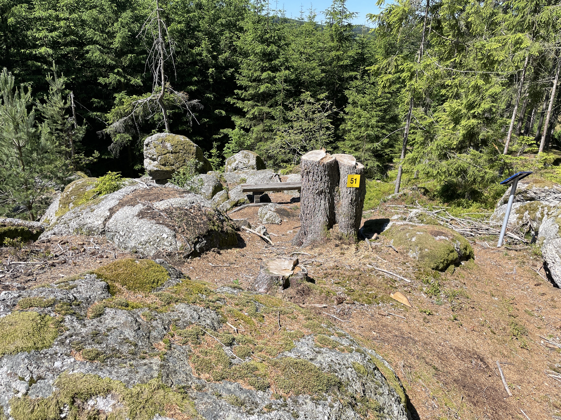
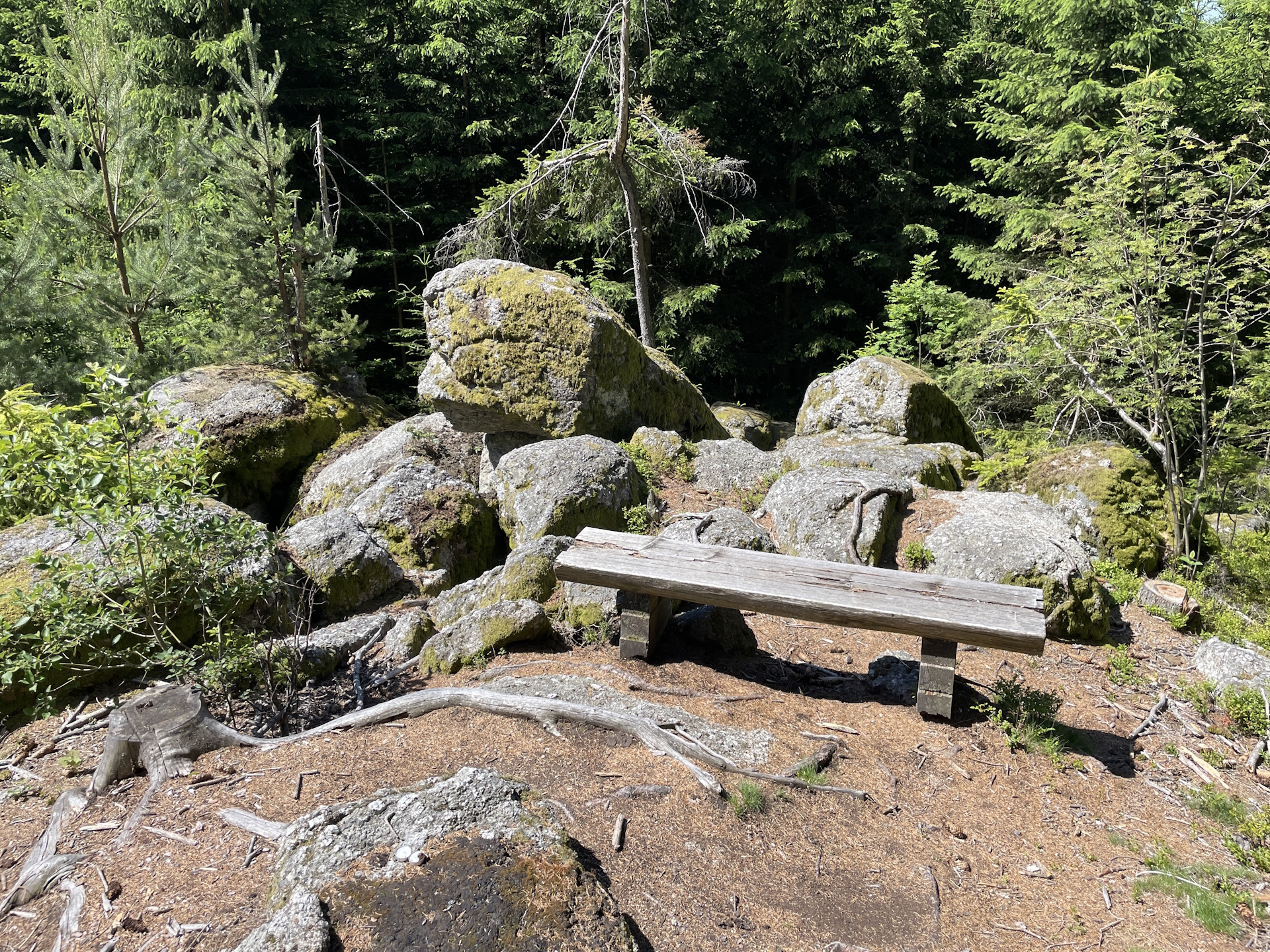
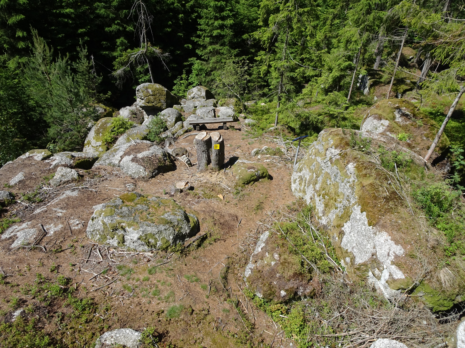
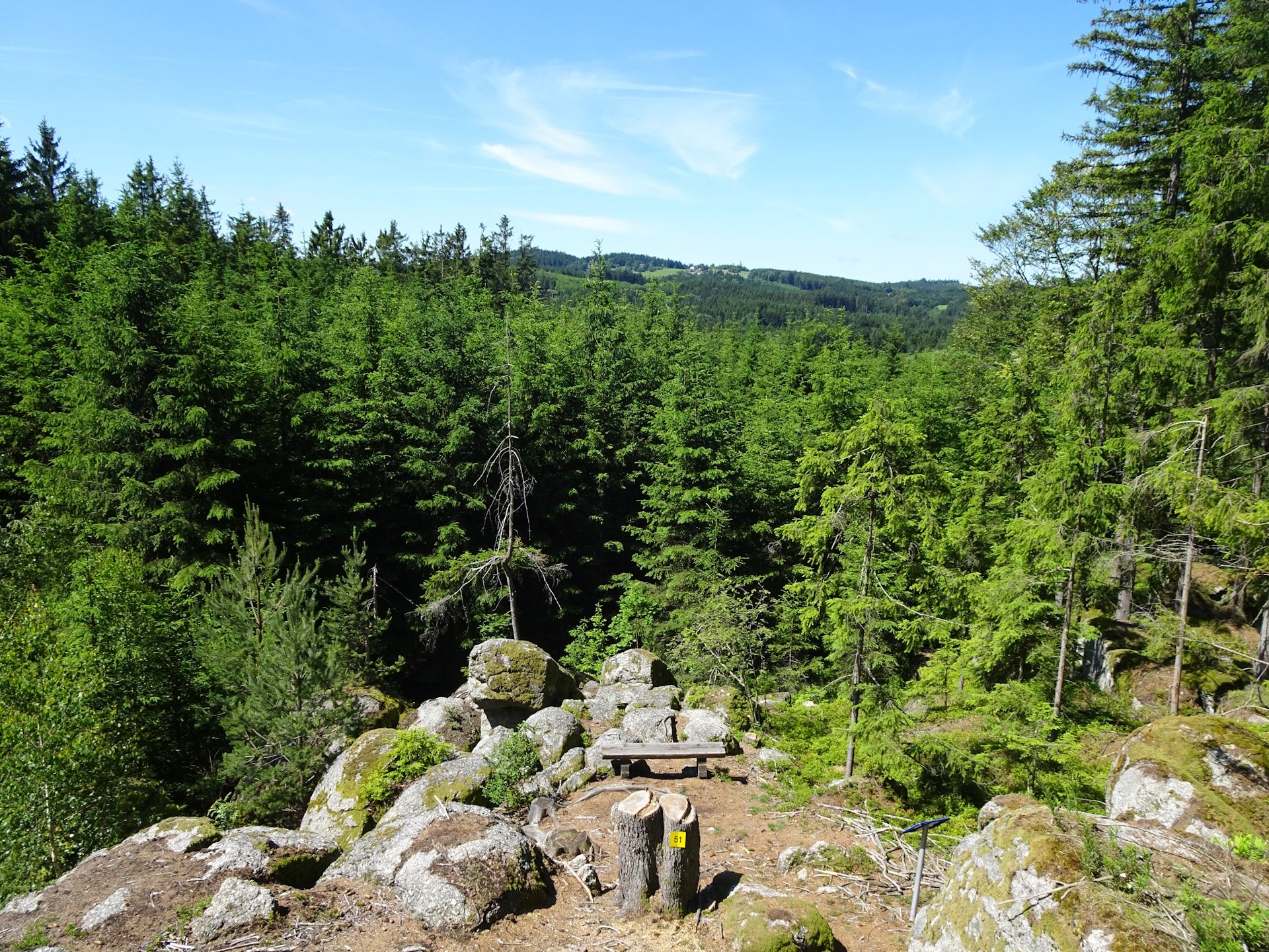
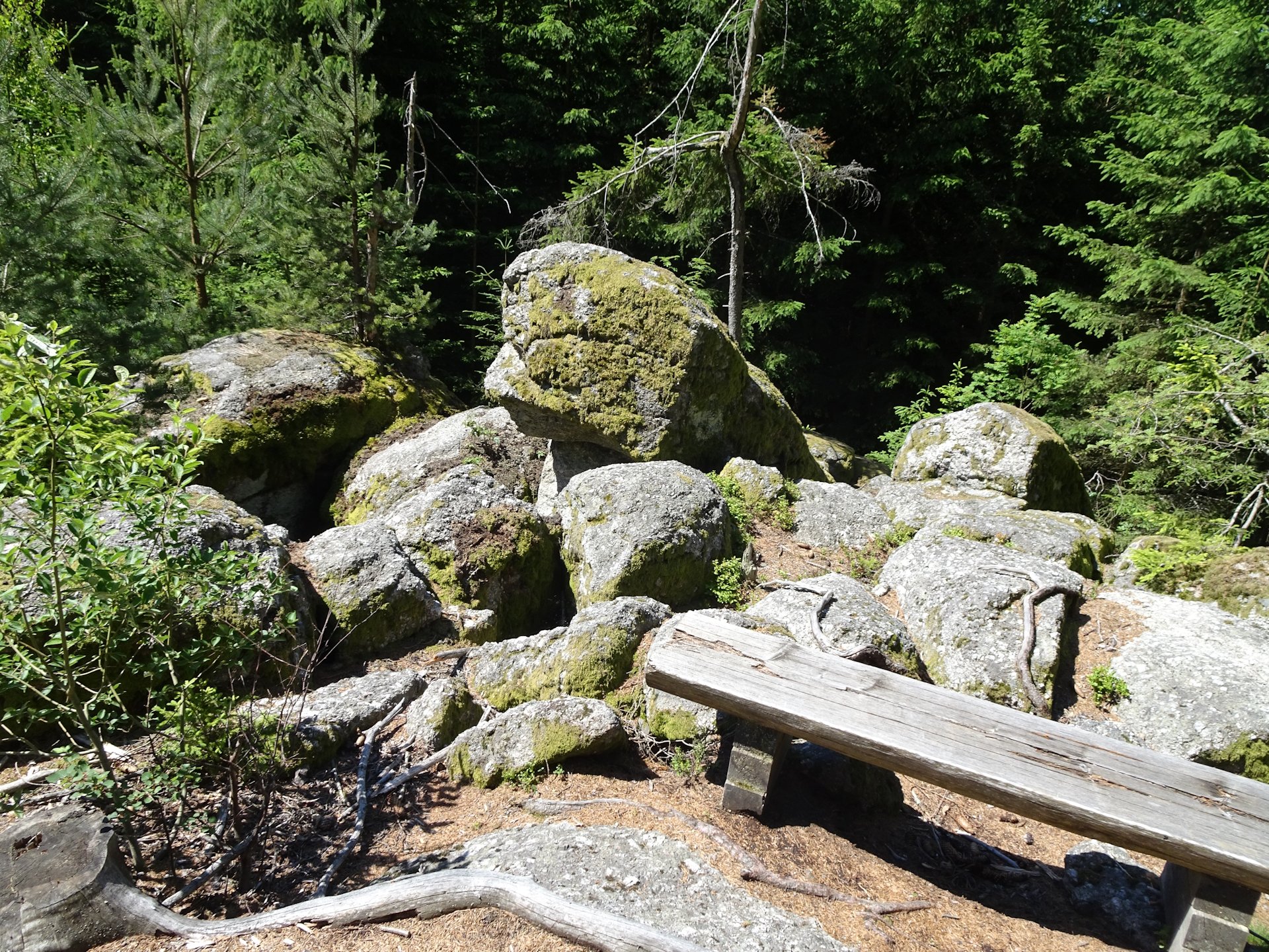
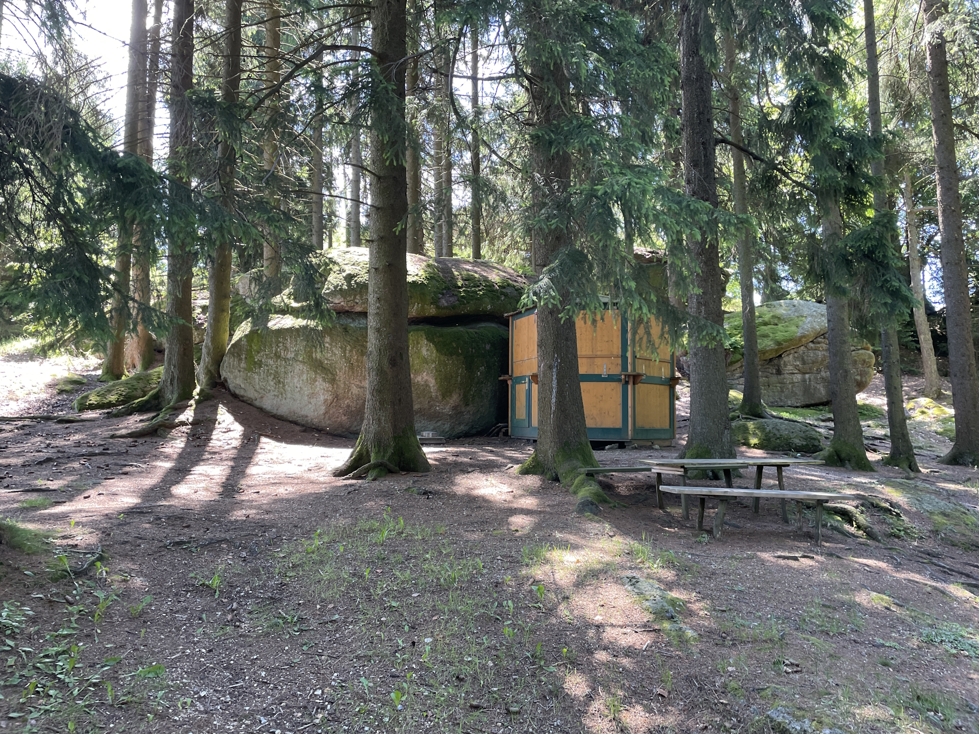
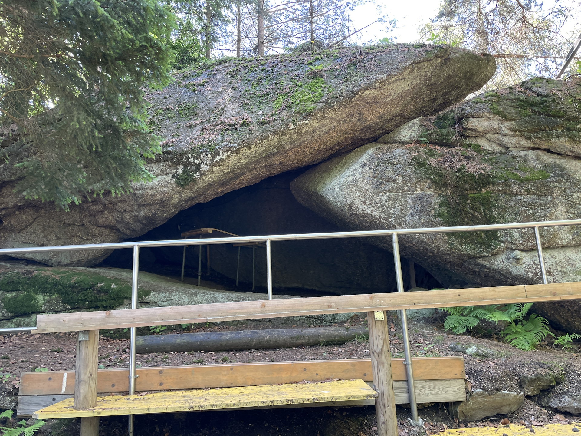
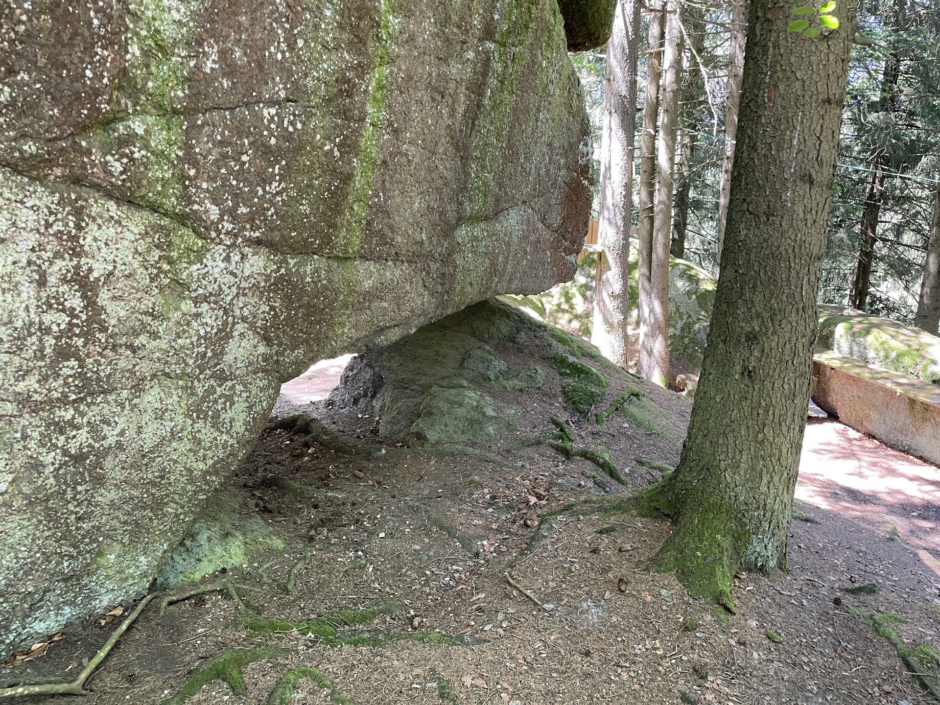
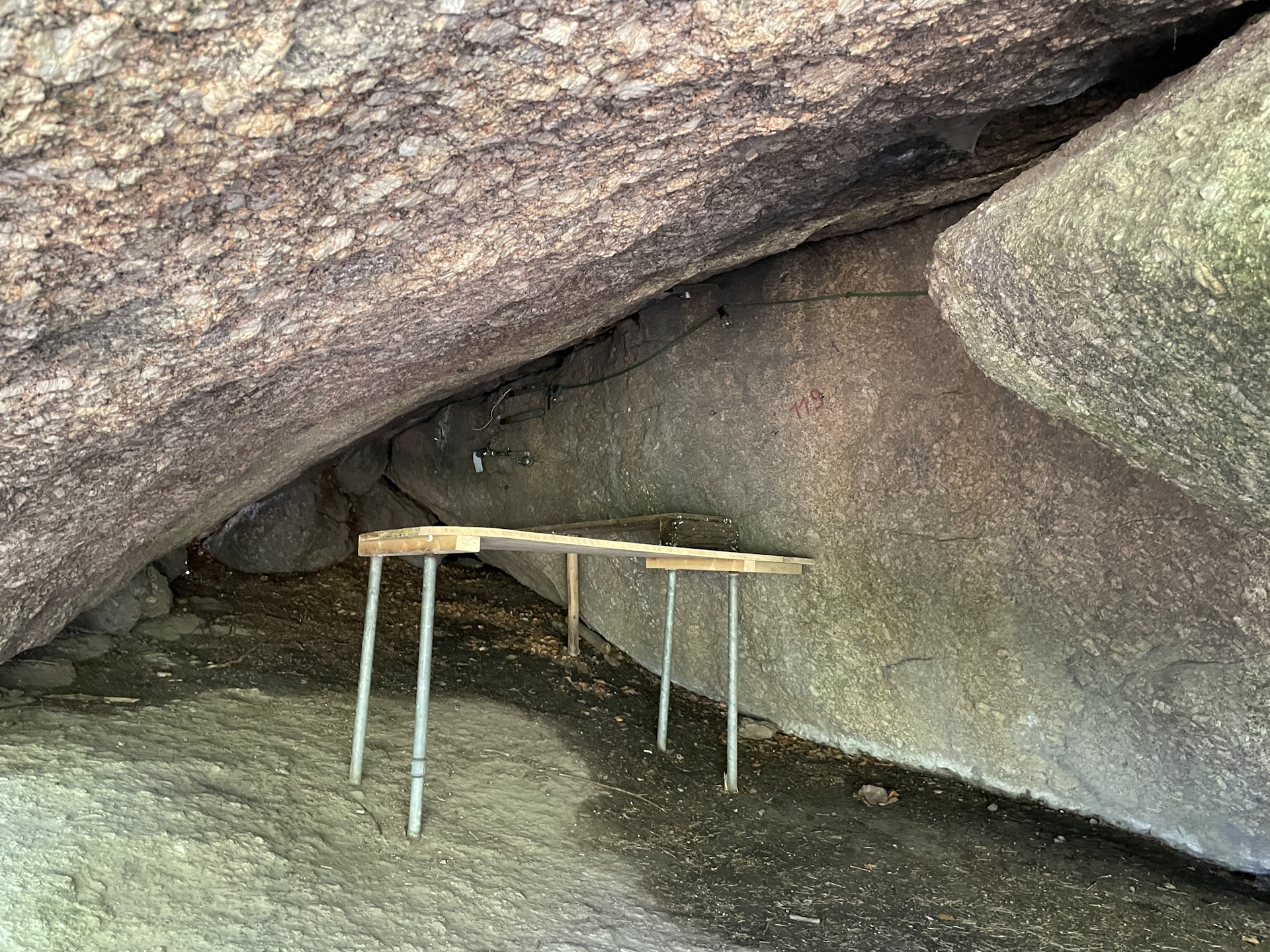
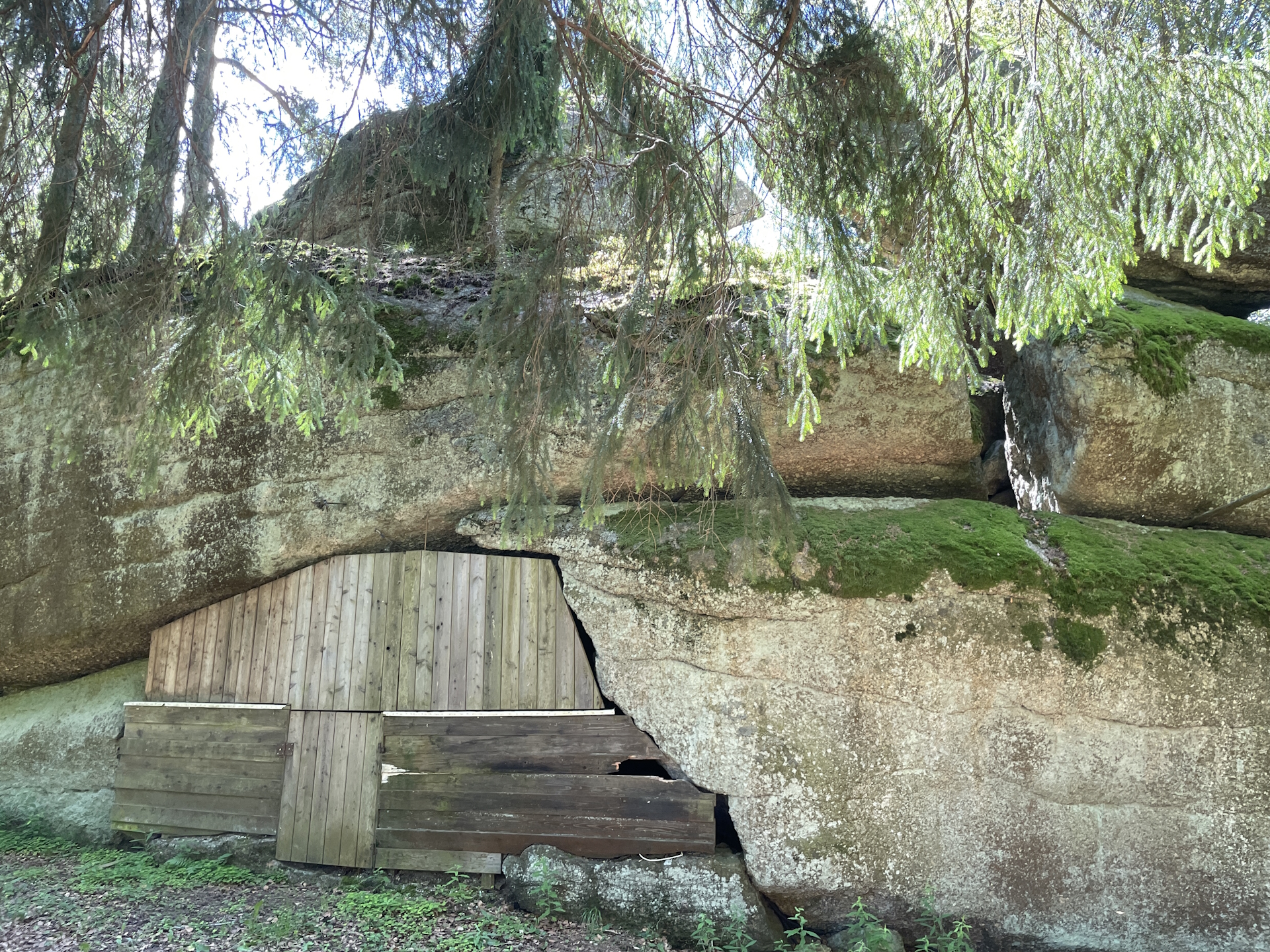
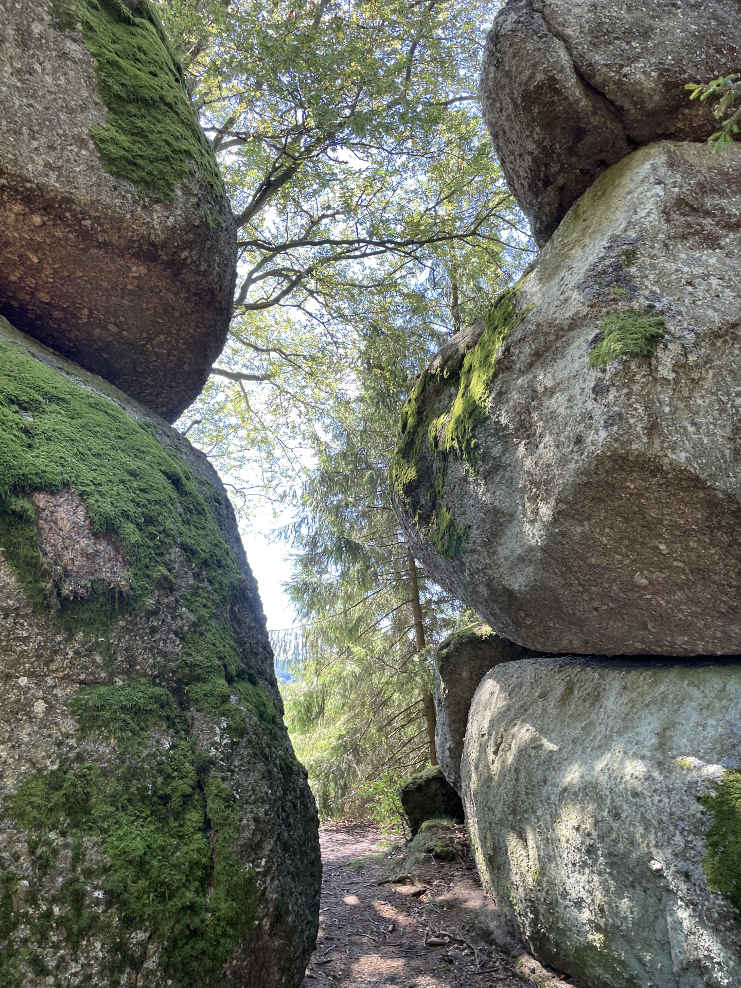
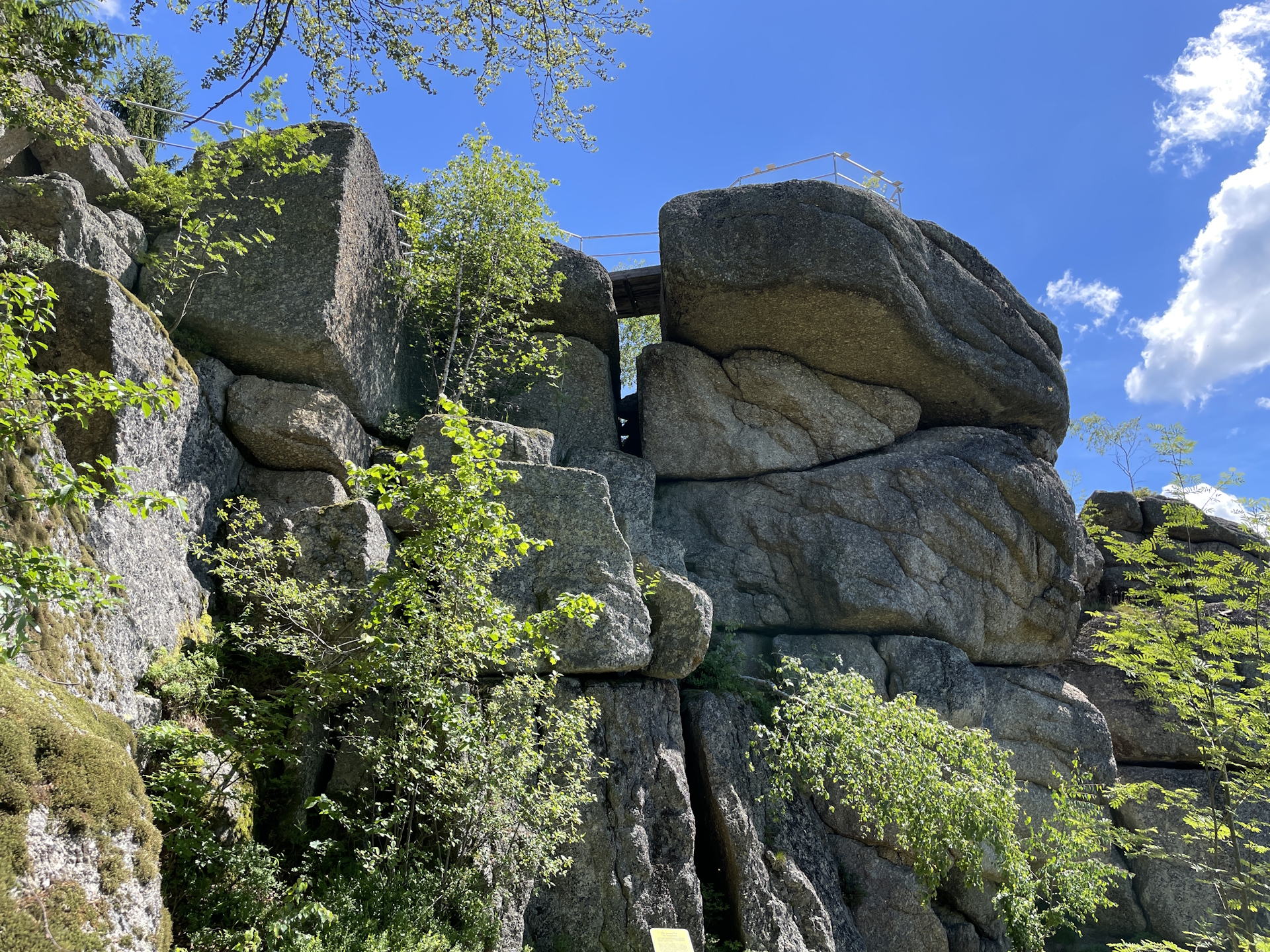
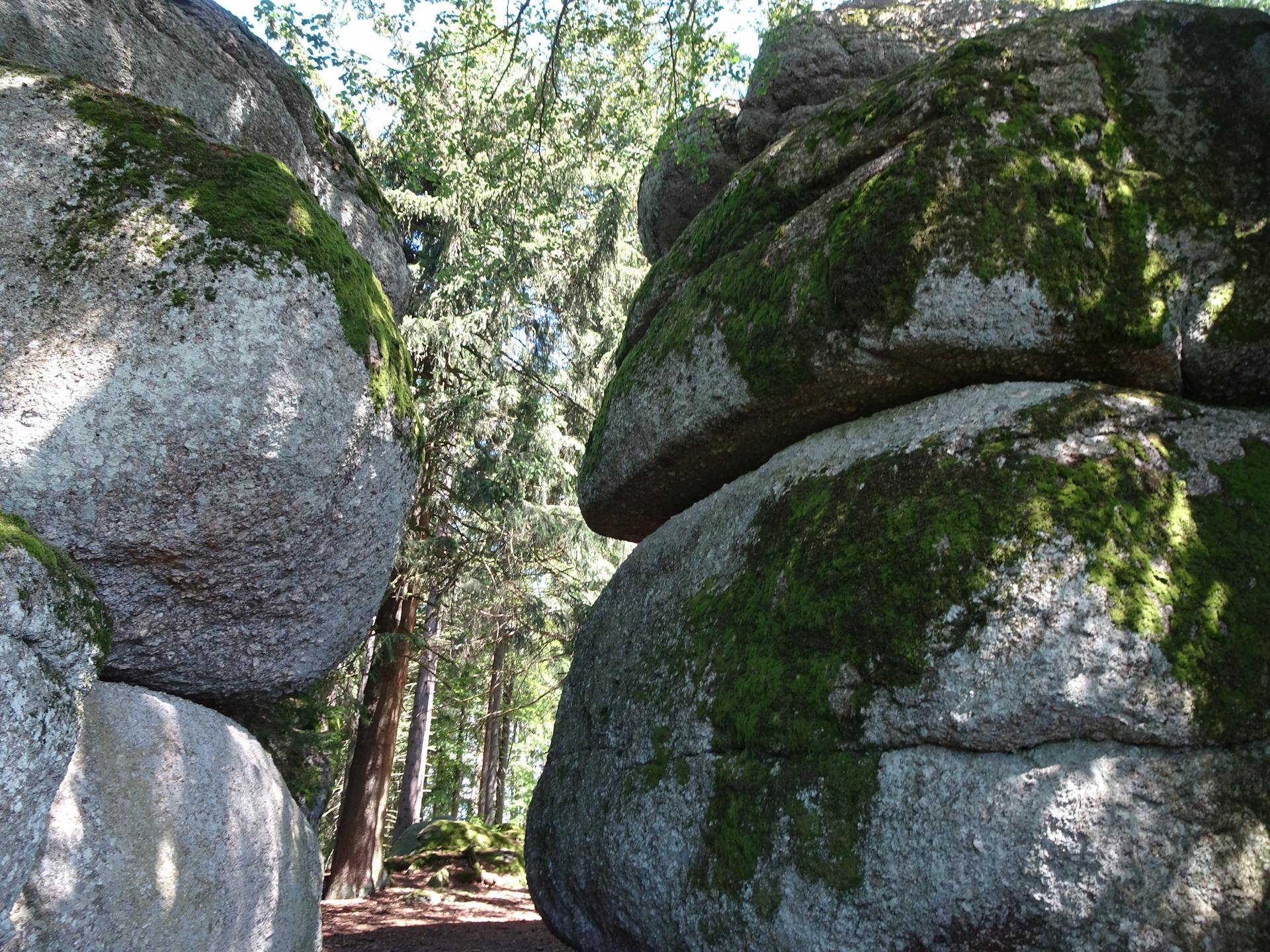
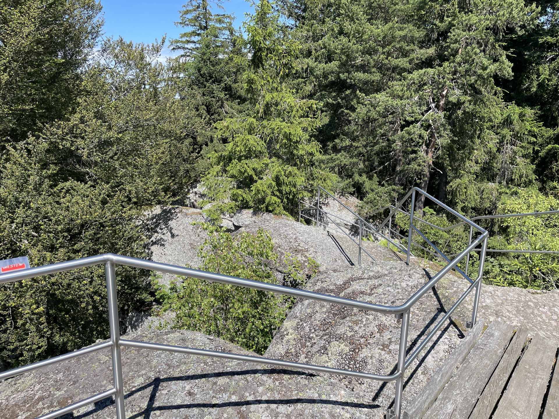
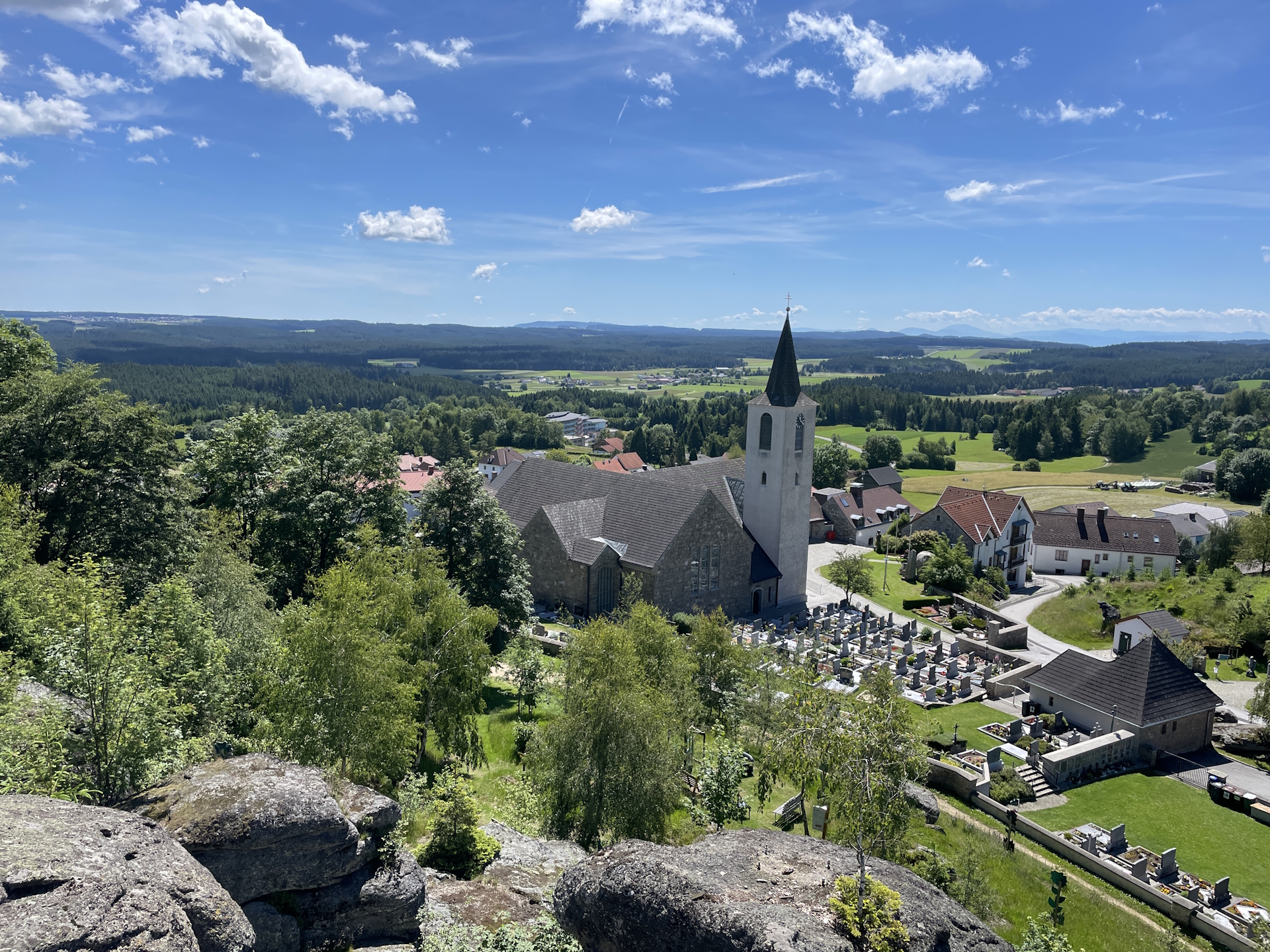
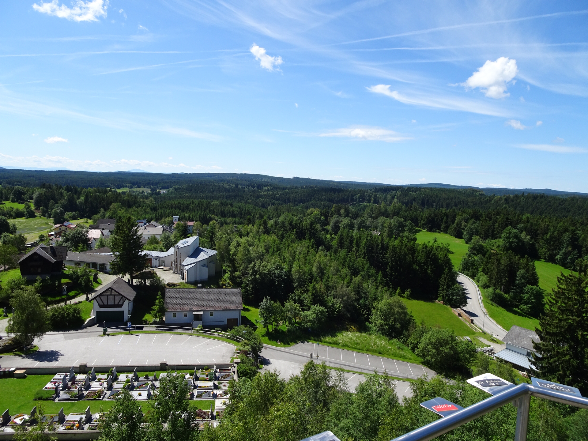
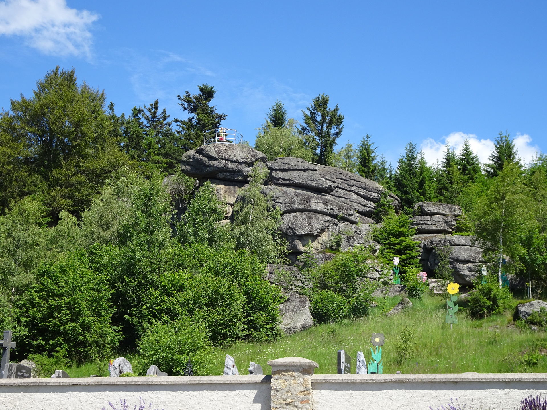
However, the stage offers two optional highlights as short detours which compensate for the aforementioned characteristics: 1. the Steinerne Rast, a rest area within a nice ensemble of rocks and cliffs and 2. the Wachtstein and Tau which is a viewing platform on top of a huge rock.
The first part from Altmelon towards Schönbach is mainly on silent tarmac roads. However, right after passing the Stieglitzmühle, the trail uses the very occupied L7199 (at least during the week) to Schönbach with no sidewalk but cars are passing by very fast.
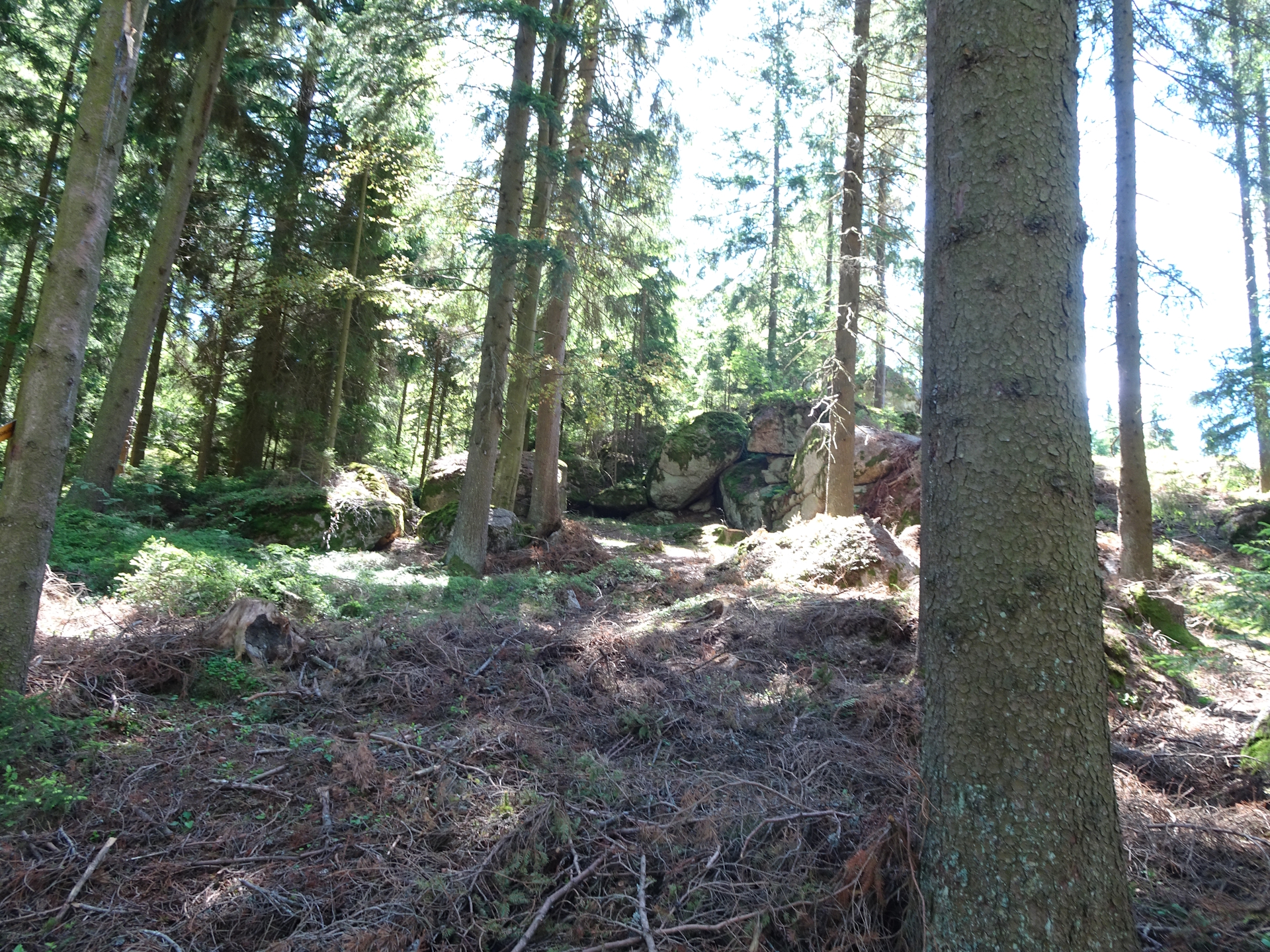
Because I’ve started in good time, I reached Schönbach still in the morning, allowing me to get the stamp quick and without consumption at the municipal office. Without any further breaks, I continued the tour heading towards Bad Traunstein. This part again uses a good mixture of tarmac roads (low on traffic) and forest roads till reaching again the main road L78, occupied and with no sidewalk. This time however the road is only used for a short distance and right after leaving the road, the first highlight is waiting: the Steinerne Rast. This rest place is not directly on the 05, but the short detour is absolutely worth it. I did a bit of bouldering and enjoyed a break before heading back to the trail and continue the hike to Bad Traunstein which is close-by.
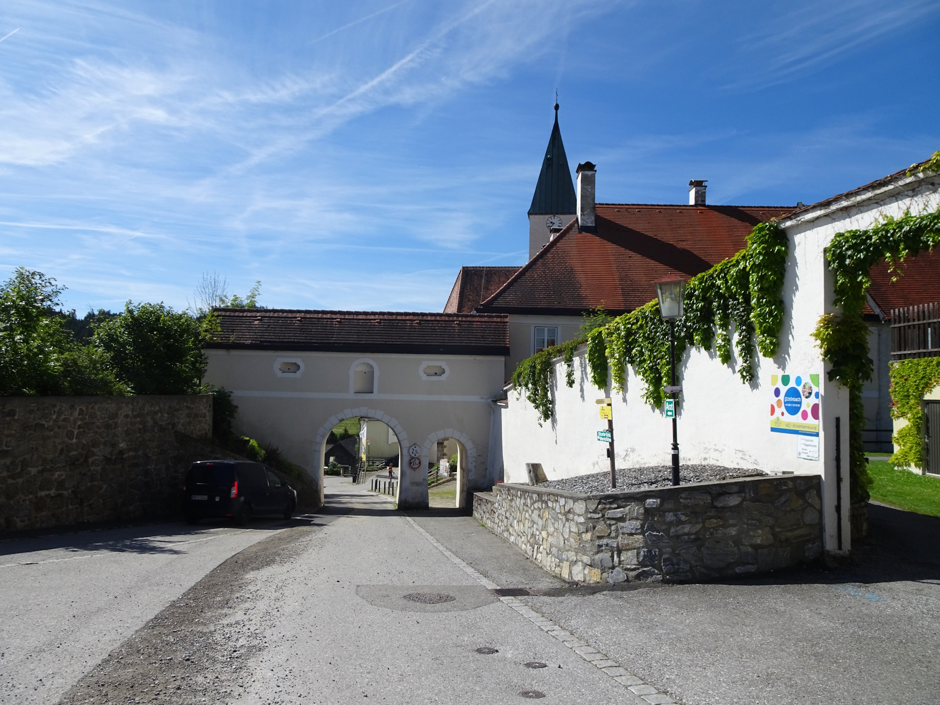
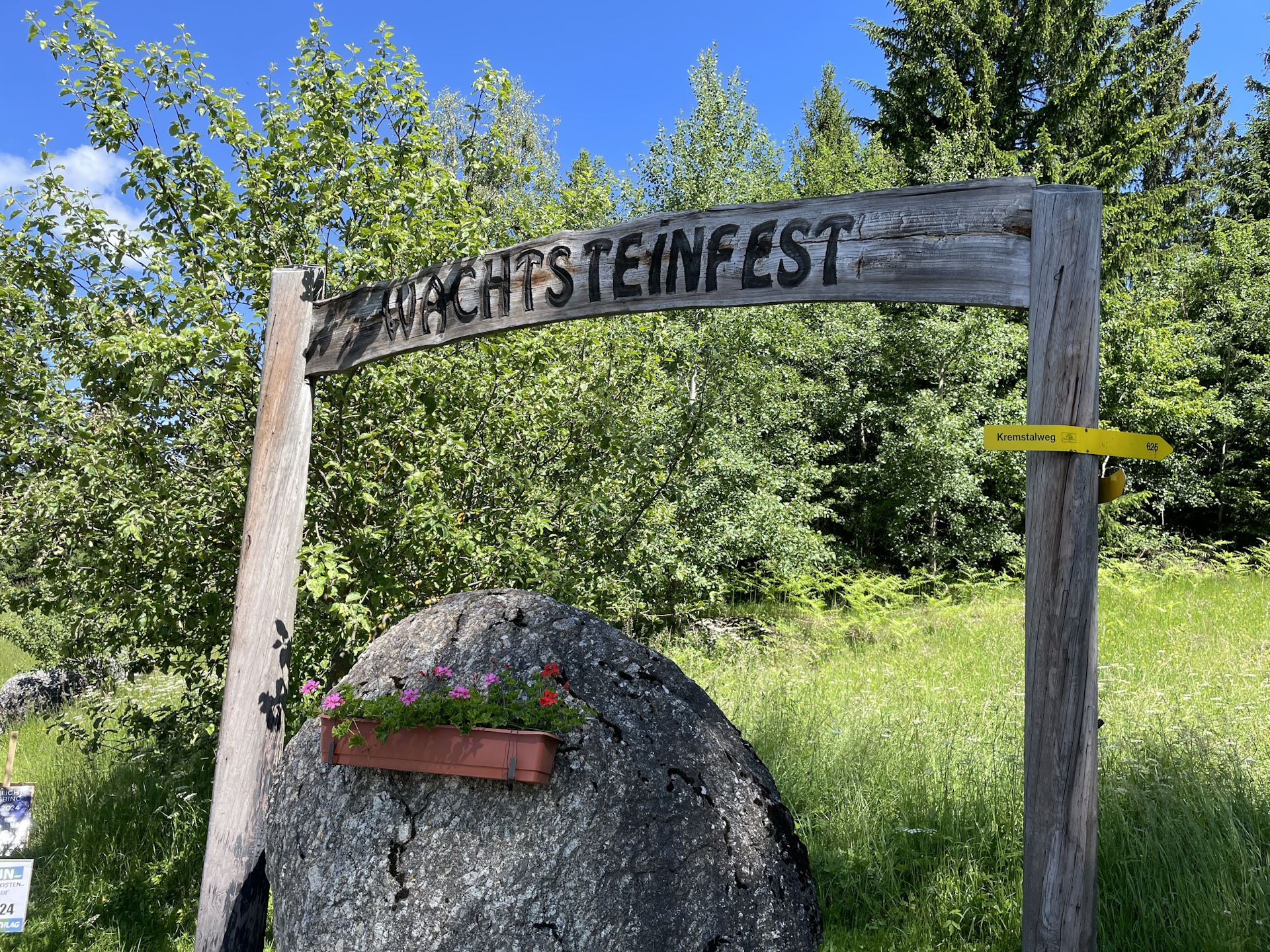
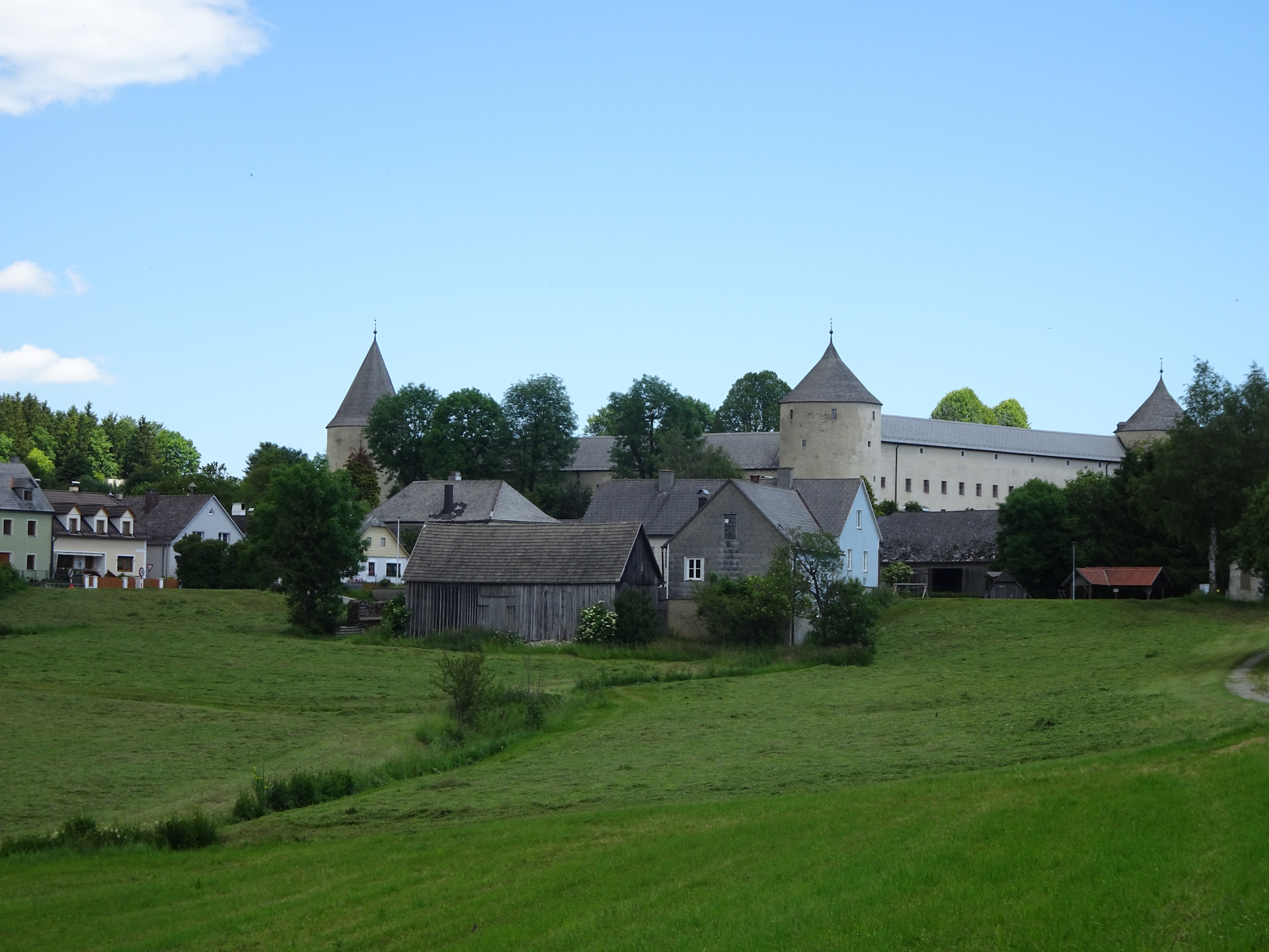
After a few meters, just after entering the village of Bad Traunstein, I followed the signposts to do the second worth detour, up to the viewing platform of Wachtstein which is exactly above the village of Bad Traunstein (Checkpoint).
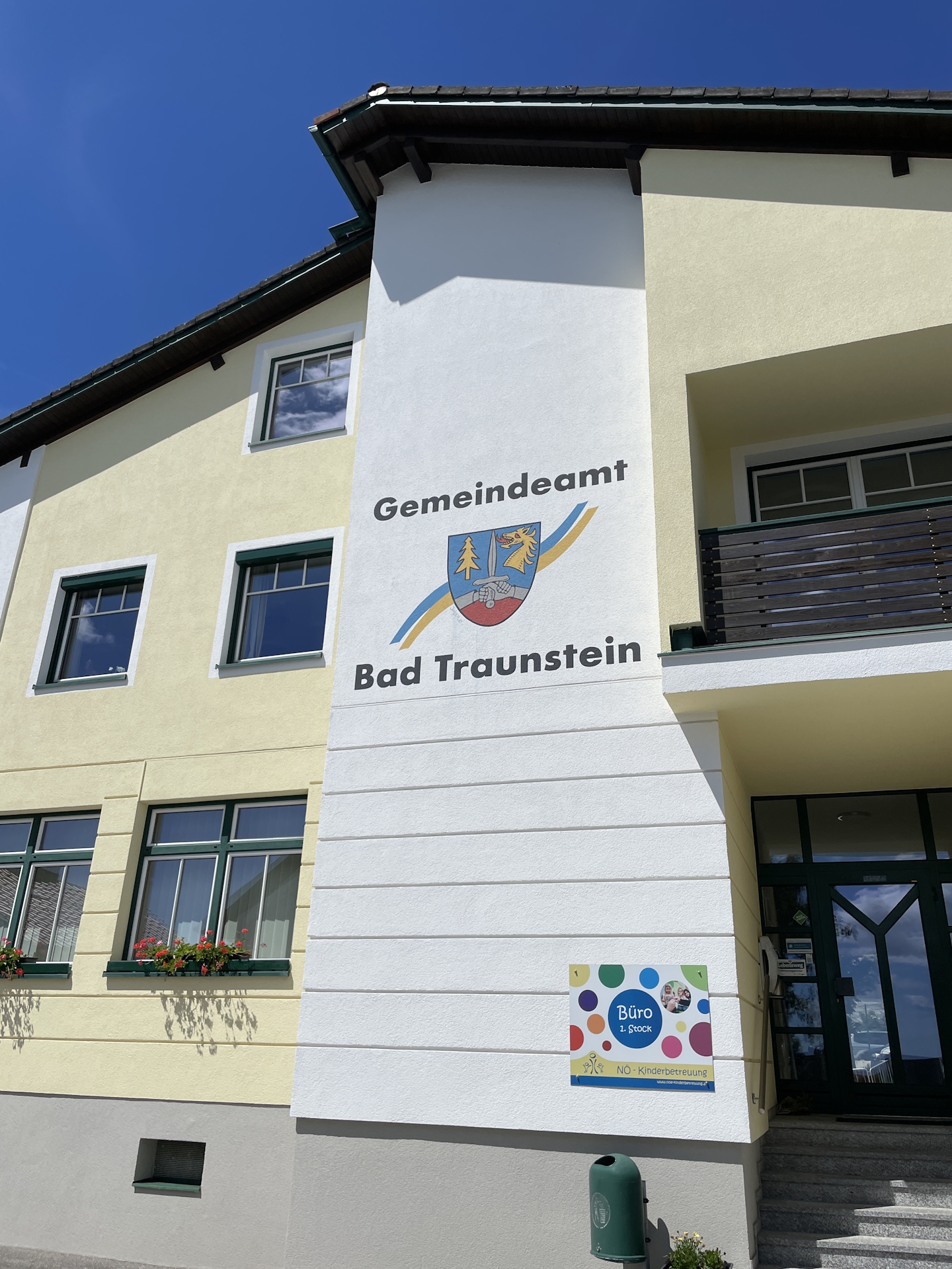
Again, because I started the tour in good time, I was able to get my second stamp at the municipal office in Bad Traunstein before they close at noon.
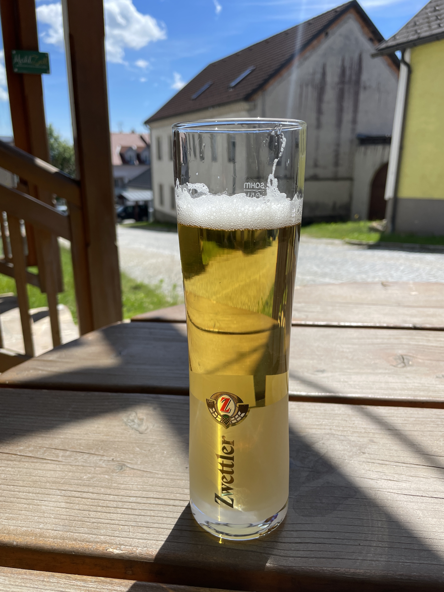
The next setback was the fact that there was no restaurant open on Monday in the entire village of Bad Traunstein. Luckily there is a small grocery store which also closes at noon but I made it right in time to buy a sandwich. On the way through Bad Traunstein I found at least one restaurant (Gasthaus zum Wachtstein) that did not serve food but offered at least a cold beer, which was very welcomed due to the hot temperatures and the fact that this stage is very exposed to sun.
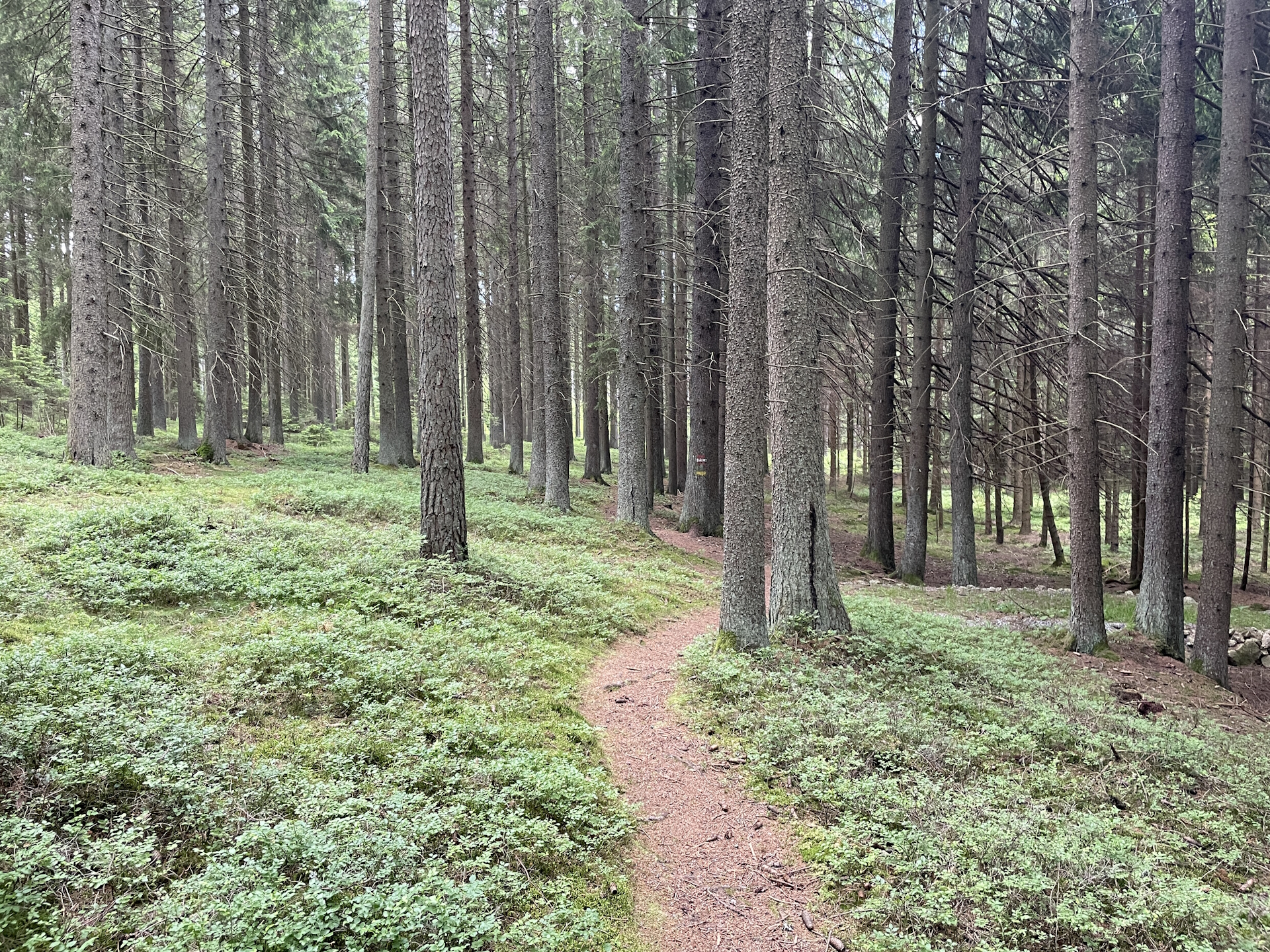
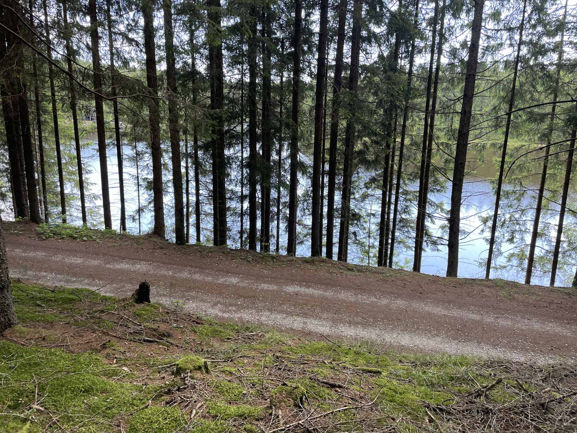
After I recovered a bit from heat having one or two cold drinks, I continued the hike – again on tarmac and exposed to sun to and through Walterschlag. Now the trail became better, not anymore on tarmac and finally through the forest. On the way to Ottenschlag, the trail passes by the Weyerteich. The remaining few kilometers to Ottenschlag are again on roads through fields and meadows, exposed to sun but not long anymore.
Due to the fact that I had no lunch in Bad Traunstein, I was trying to get some lunch in Ottenschlag. Again, I quickly was confronted that all restaurants seemed to be closed on Monday but I had luck finding Gasthof Michael Renner open, serving me a delicious Goulash soup and cold beer. I used the opportunity to get my last stamp for this stage before heading to the bus station. As I had to wait for some time (~ 2 hours), I decided to stroll around the city and had some coffee before heading back with the bus to Altmelon.
| 00:00 | Start at the bus station in Altmelon next to the school and the municipal office. If not yet done, acquire the stamp there. Follow the main street northeastwards, bypassing the Kirchenwirt and the gas station. Continue following the street leaving the village for Altmelon. |
| 00:05 | At the crossing, do not turn right (this is a different hiking trail!) but continue following the main road further northeastwards. |
| 00:15 | Turn right into the paved road and follow it for a few meters. |
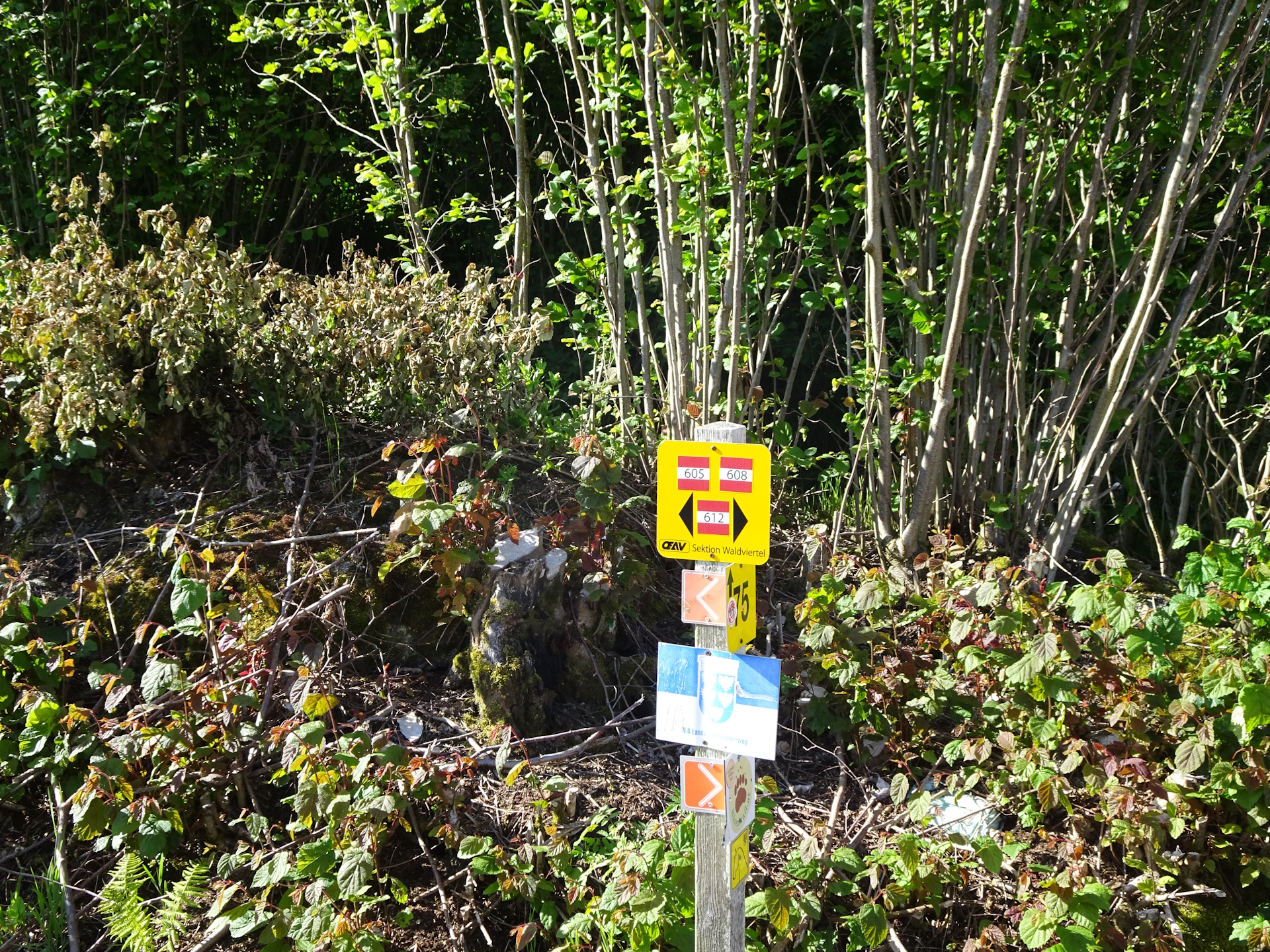
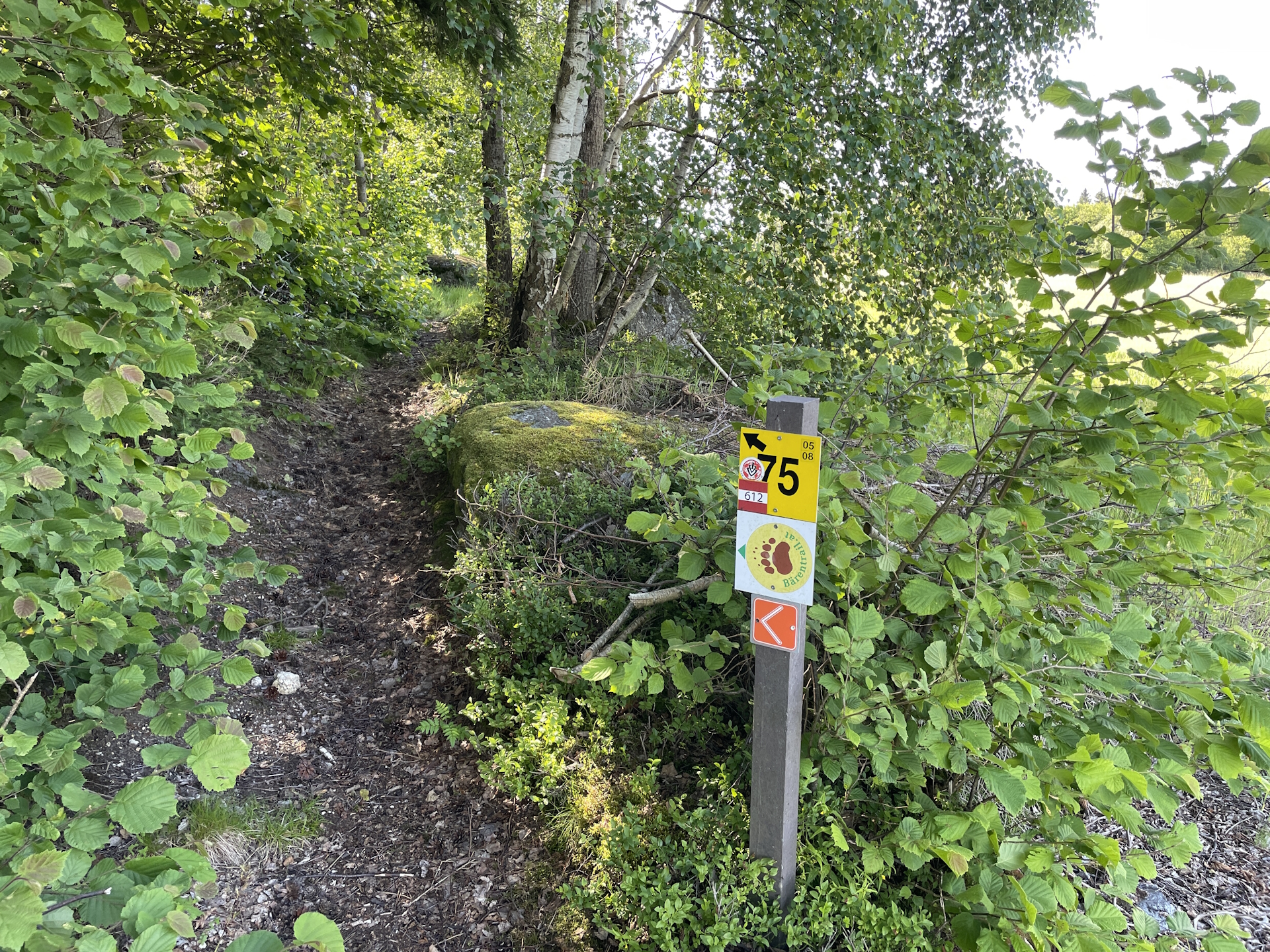
| 00:16 | A few meters later, keep right and follow the trail through the meadow. Watch out for the signpost 05 as it can be easily overlooked. |
| 00:25 | Turn right into the paved road and follow the road southeastwards. |
| 0:50 | At the crossing, turn left into the forest road and follow the road for a few meters. Then keep right and follow the trail back to the road. Turn left and follow the road eastwards. |
| 01:00 | Turn right into the forest road and follow the road southwards, bypassing Stieglitzmühle till reaching the main road L7199. |
| 01:05 | Turn left into the main road L7199 and follow the road northeastwards till the city border of Schönbach. Take extra care as cars are passing by on high speed. |
| 01:15 | Right before the city border of Schönbach, turn right into the smaller street and follow this street into the center. Head towards the municipal office to collect your stamp . |
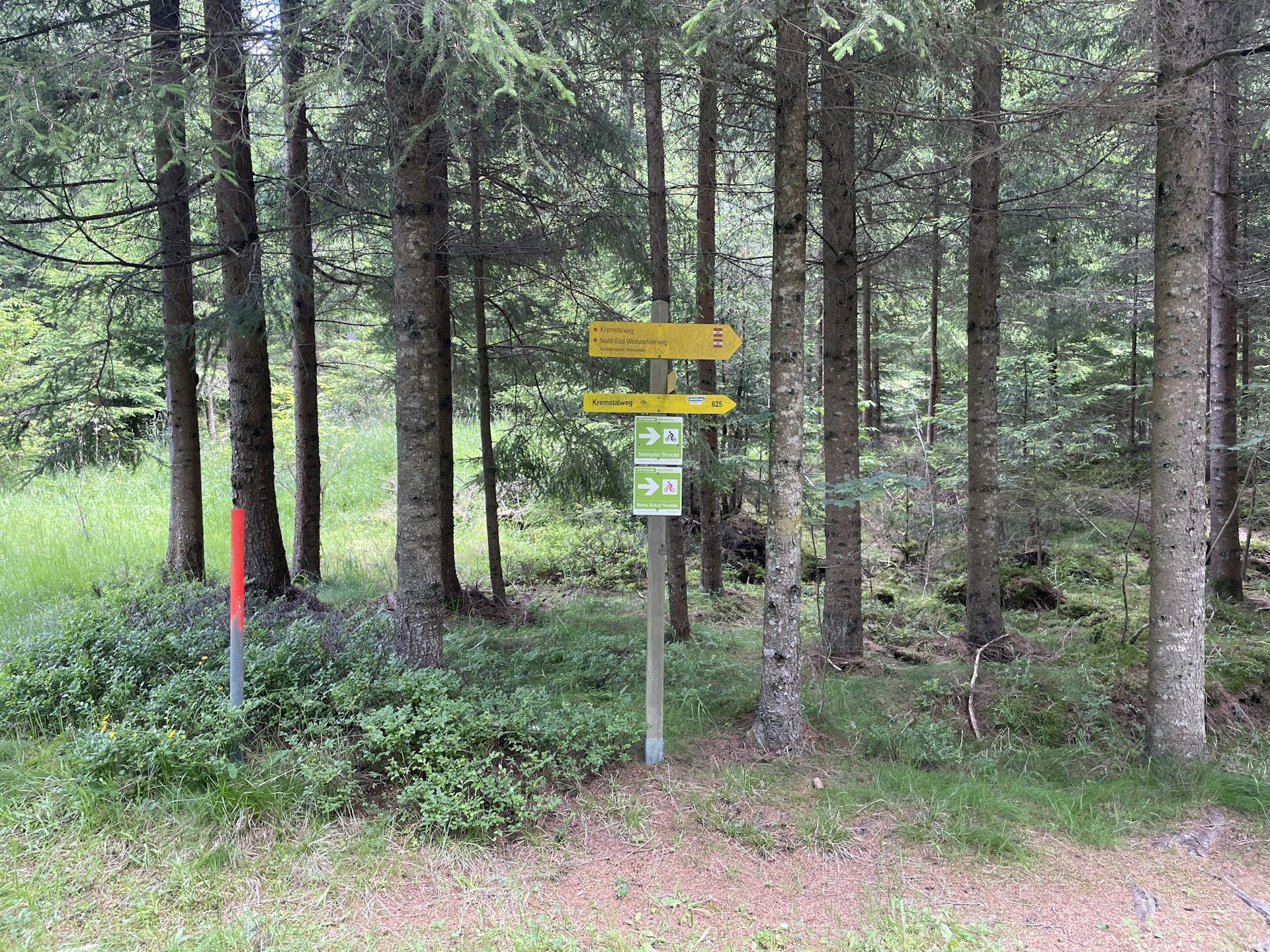
| 01:25 | Follow the street eastwards through Schönbach, cross the main street L78 and then turn left into the gravel road at the eastern city boarder. Follow the marked trail 05. |
| 02:00 | Turn right into the gravel road and follow the trail southwards to Anschaumühle. |
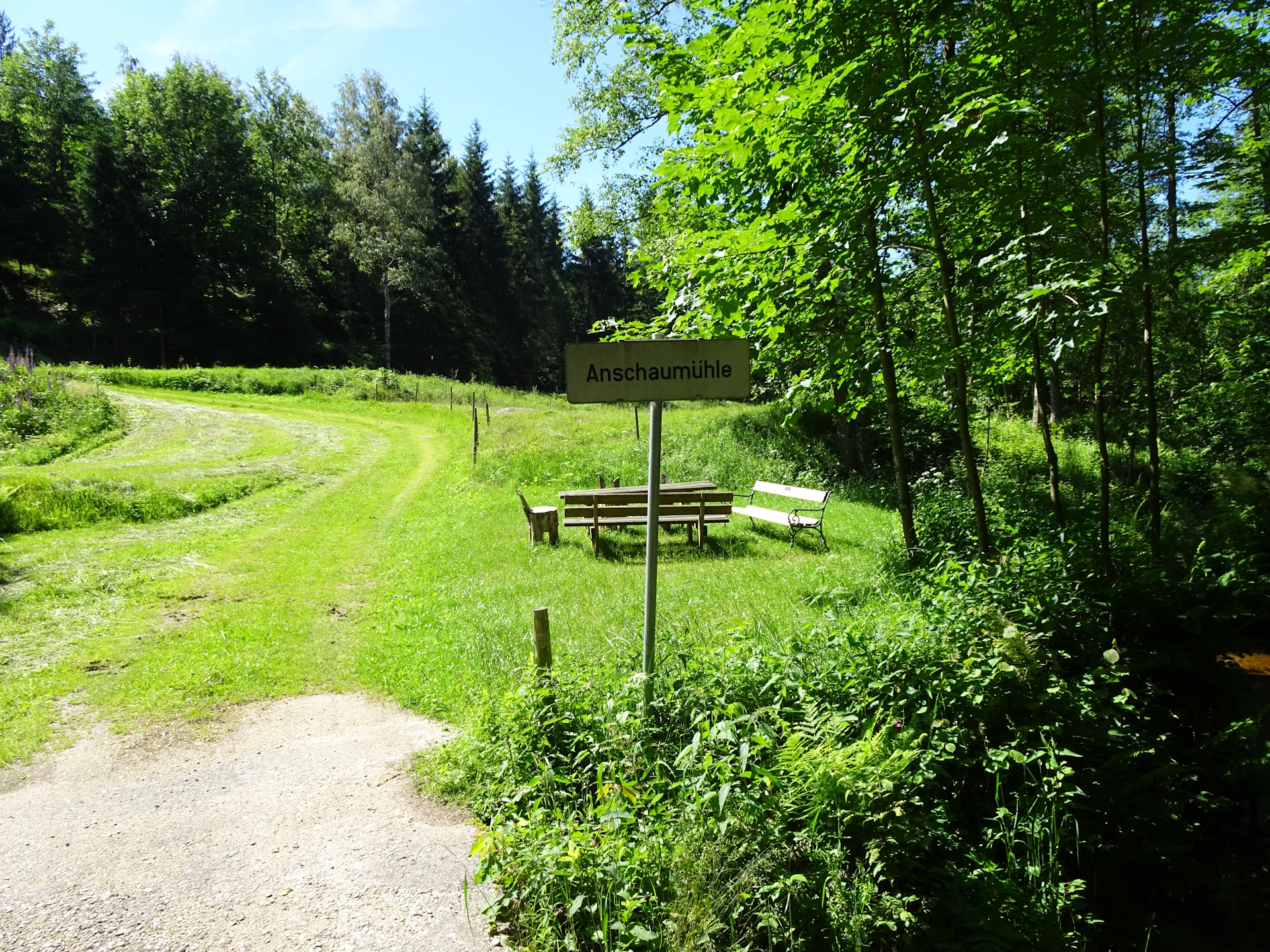
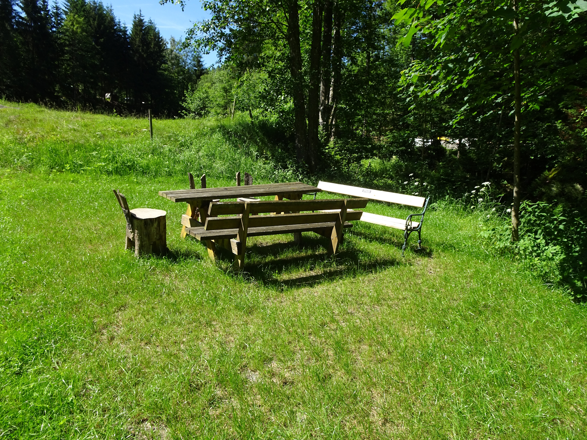
| 02:10 | Turn left, bypass Anschaumühle and continue following the marked trail to Anschau and then further to Glashütten, till reaching the main road L78. |
| 02:40 | Turn left into the main road L78, follow it for a few meters and turn right into the forest trail at the first possibility. |
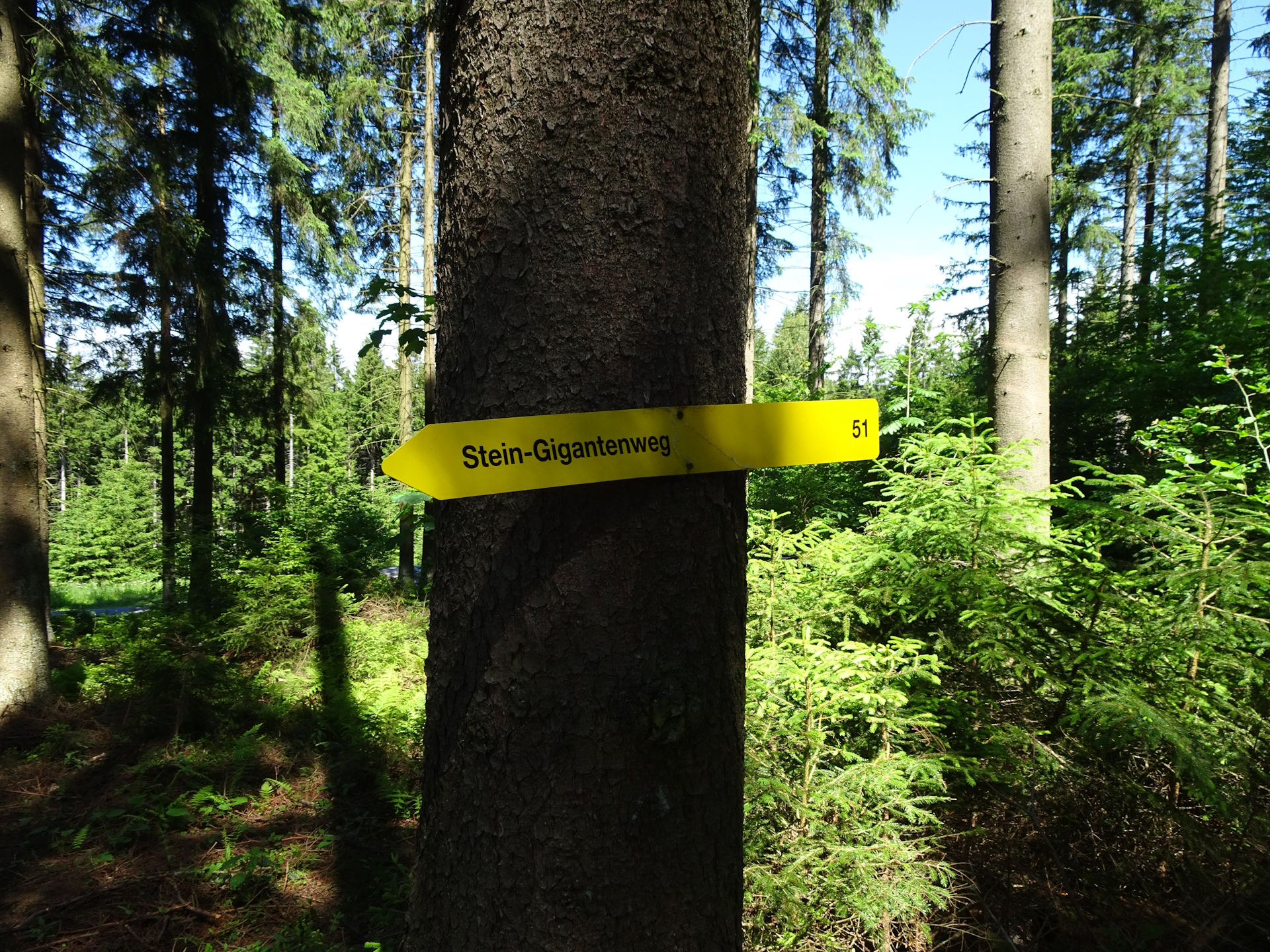
| 02:41 | Detour: Follow the signposts towards Steinerne Rast. |
| 02:45 | Enjoy a well-deserved break at Steinerne Rast (best enjoyed with a self-brought refreshment ). |
| 02:50 | Follow the trail back into the 05, turn right and follow the trail eastwards to Bad Traunstein. |
| 02:55 | Detour: Just before entering the village, turn left and follow the trail up to Wachtstein. Hike all the way up to the viewing platform and enjoy the scenic view from there. Then head down directly to the city center and collect your stamp at the municipal office. |
| 03:10 | After collecting the stamp, head back to the center and at the main square, turn right. follow the trail eastwards. You might consider a well-deserved break () at Gasthof zum Wachtstein |
| 03:30 | Continue following the trail eastwards, cross the main road and follow the paved road eastwards to and through Walterschlag (watch out for the 05 markings!). |
| 03:45 | Hike through Walterschlag, cross the road, head south for a few meters and then turn left. Continue following the trail eastwards into the forest. |
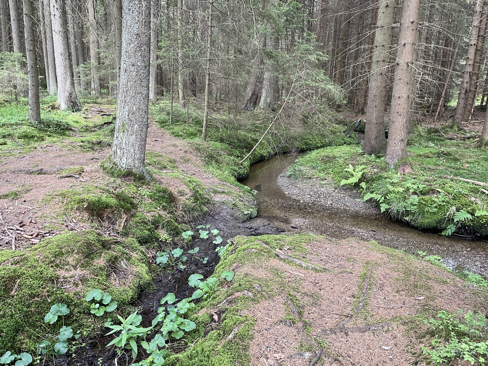
| 04:10 | At the crossing, turn left, follow the trail fora few meters crossing the small river via a bridge and then keep following the marked trail by turning right again. |
| 04:30 | Pass by the Weyerteich and continue following the marked trail eastwards. |
| 04:35 | At the crossing, keep straight and follow the trail till reaching road L78. Turn right into the road, follow it for a few meters and turn left at the first possibility and follow the trail eastwards. At all crossings keep straight as the trail will lead directly into Ottenschlag. |
| 05:15 | Well deserved break () at Gasthof Renner. Collect your final stamp before heading north towards the bus station located on the main square. End of the tour. |
General Tour Data
| Area: | Wald- & Mühlviertel, Lower Austria, Austria | |
| Distance: | 25km | |
| Ascent: | 556m (2h 10min) | |
| Descent: | 624m (2h 10min) | |
| Highest Pt: | 941m | |
| Lowest Pt: | 670m | |
| Duration: | 4h 45min (without breaks) 5h 15min (with breaks) |
|
| Stop/Rest: | Kirchenwirt Lichtenwallner (Altmelon, 903m) Lindenstüberl (Schönbach, 733m) Gasthof zum Wachtstein (Bad Traunstein, 909m) Gasthof Renner (Ottenschlag, 844m) |
|
| Equipment: | Backpack with standard hiking equipment Comfortable hiking shoes Snacks, Food and plenty of water 1x Gipfelbier Sun & Weather protection Camera |
| Download GPX | ||
| O | Tour at outdooractive.com |
At a glance
| Level | moderate |
| Technique | |
| Shape / Fitness | |
| Experience | |
| Scenery | |
| Best time in the year | |
|
Jan
Feb
Mar
Apr
May
Jun
Jul
Aug
Sep
Oct
Nov
Dec
|
|
Leave a Reply