
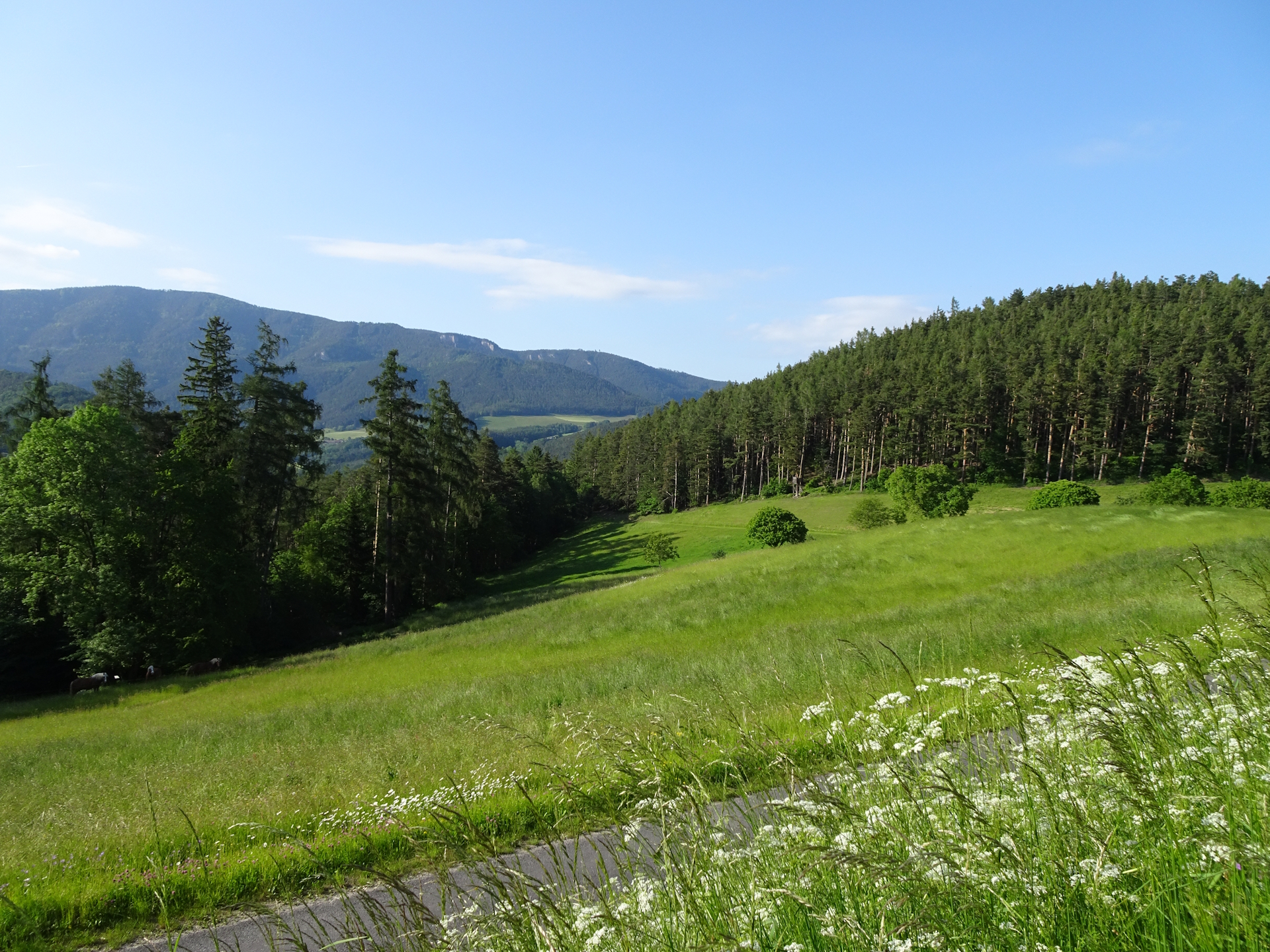
Very long but scenic hiking tour from Kirchberg/Wechsel to Gloggnitz via Schottwien
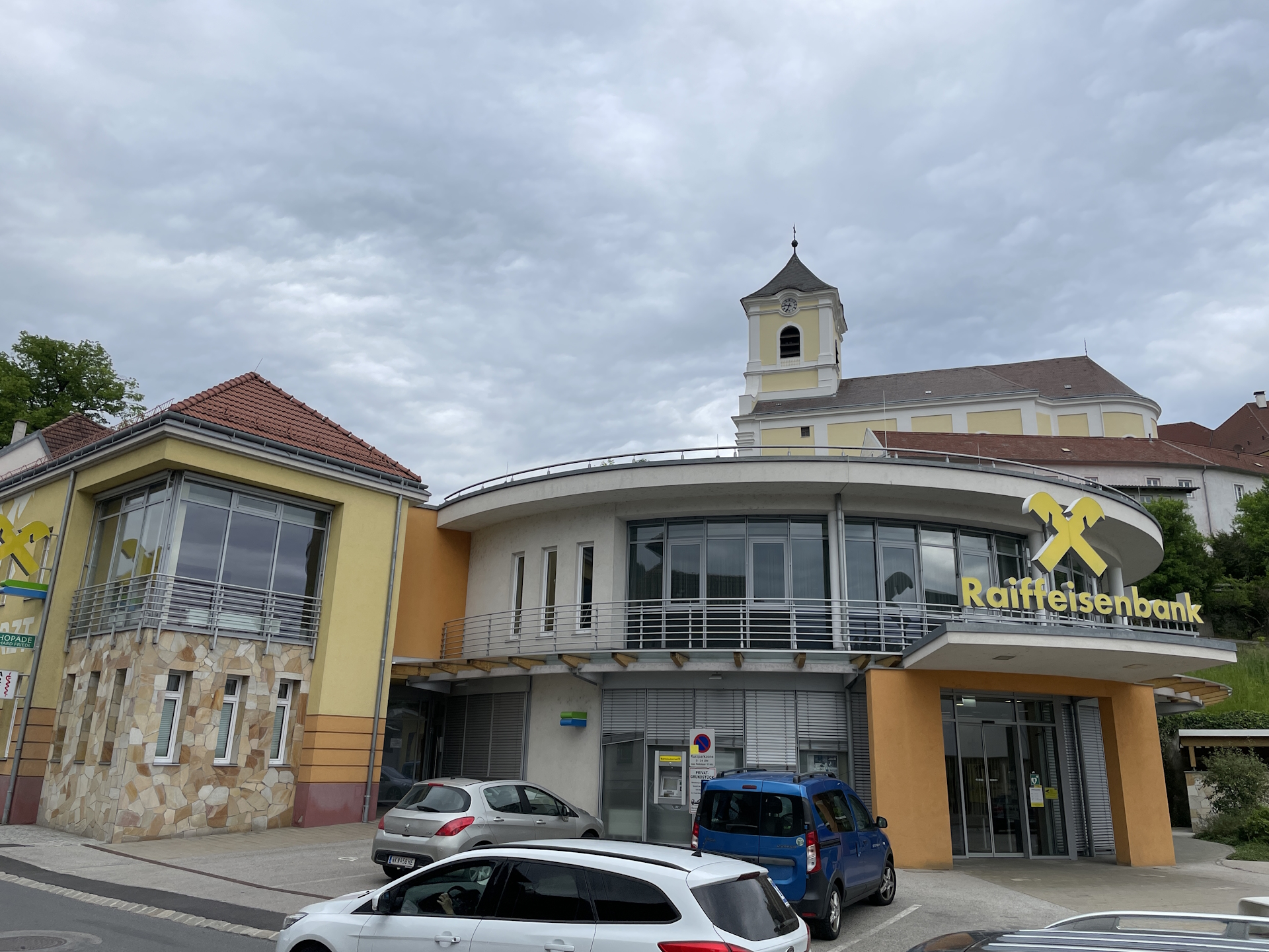
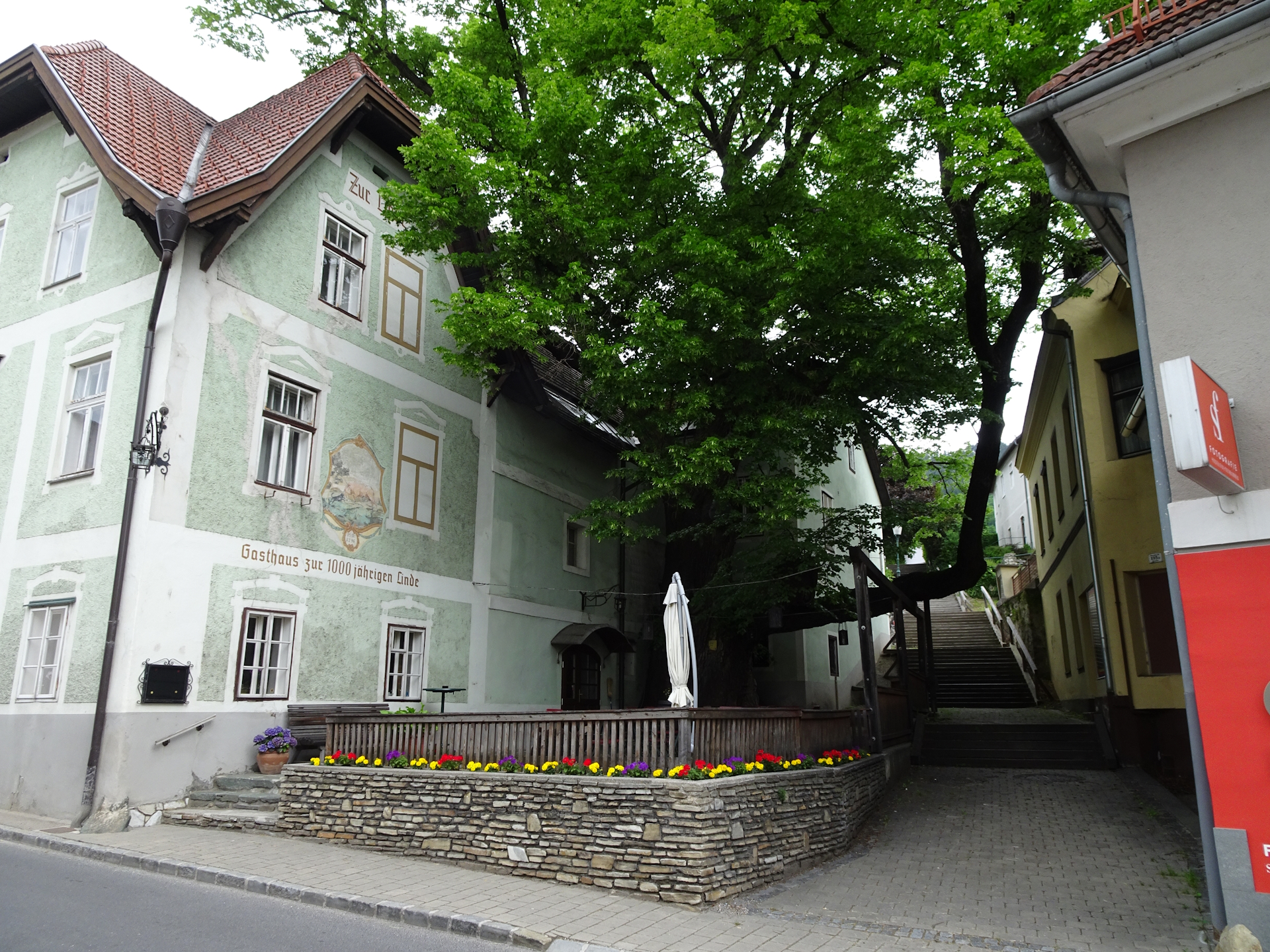
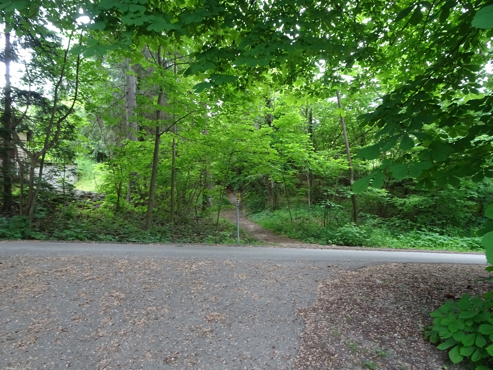
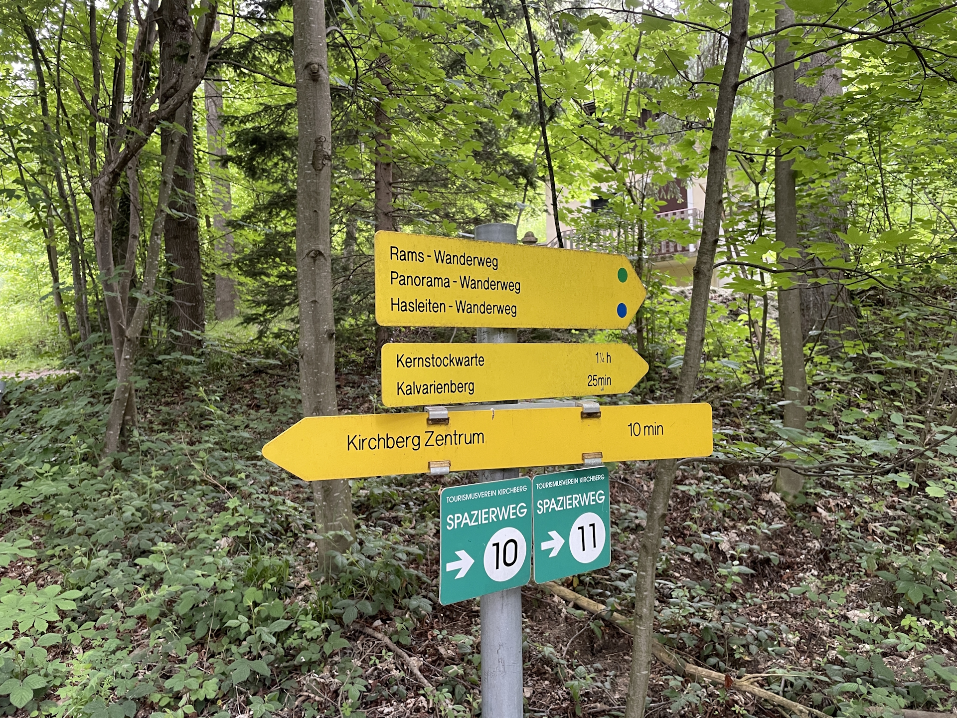
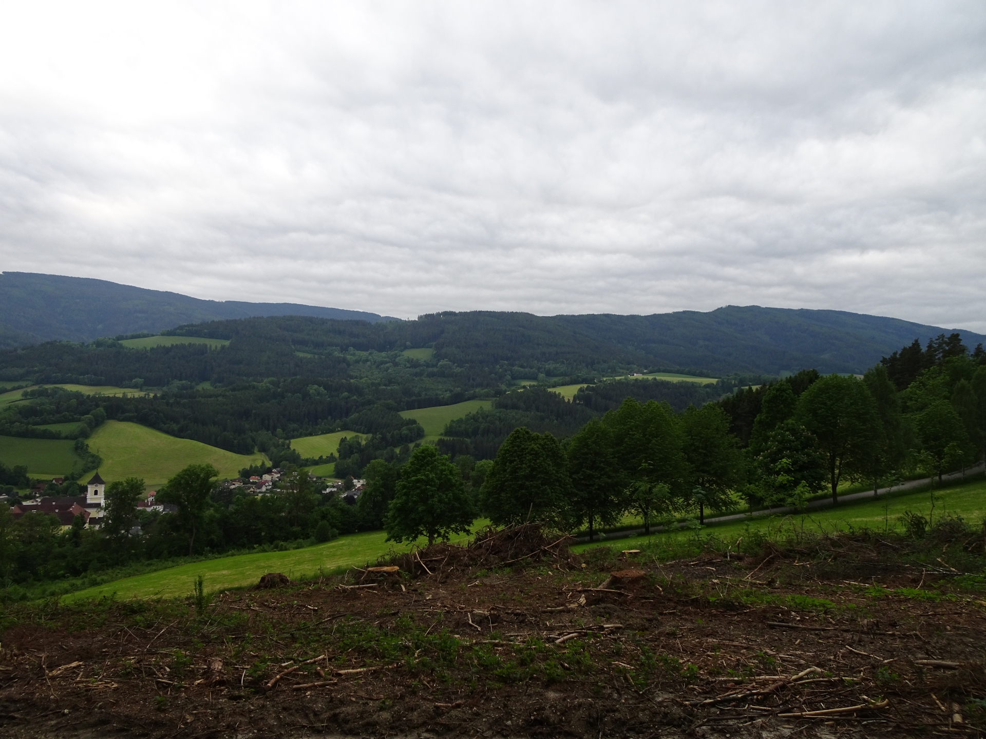
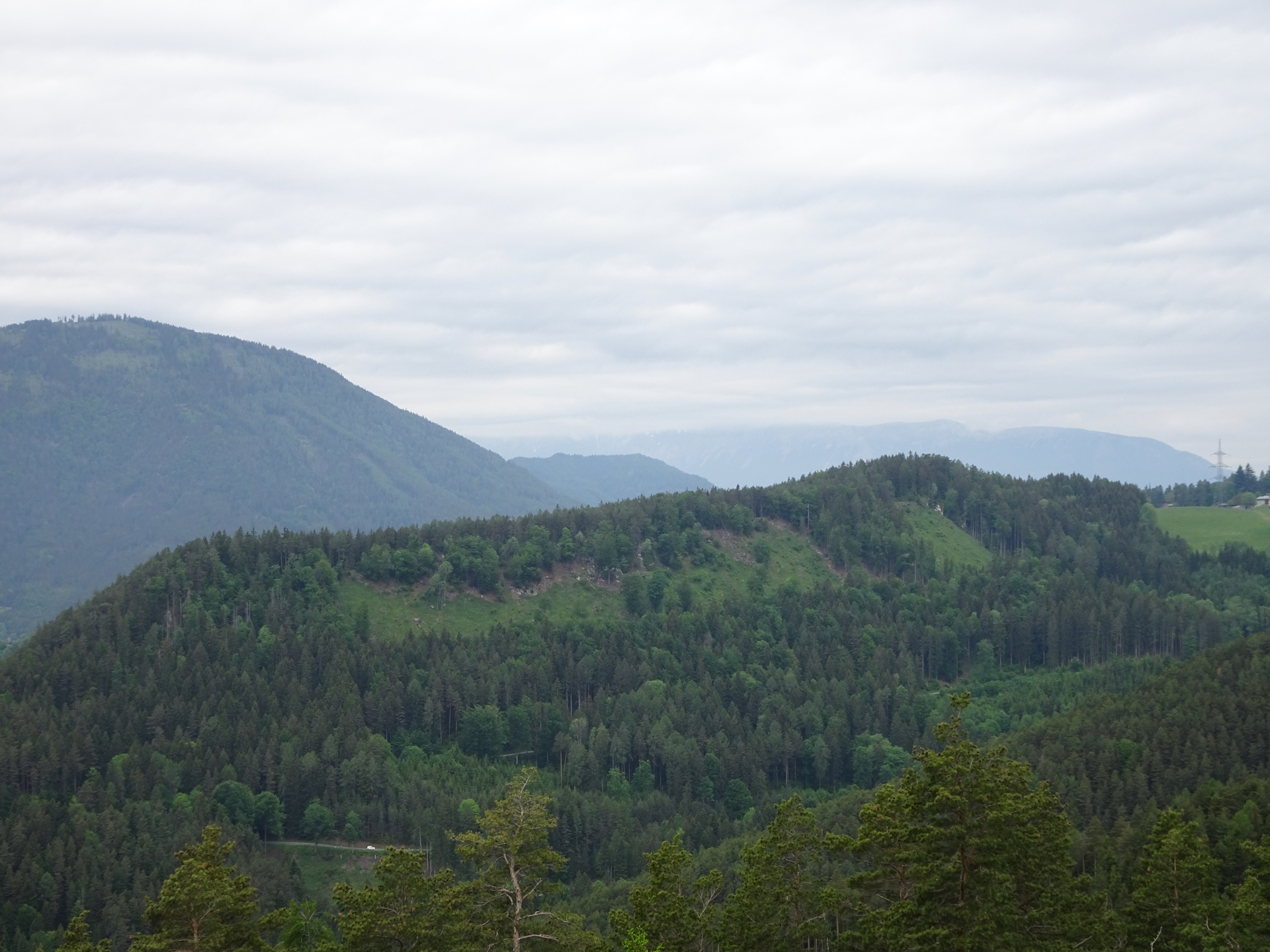
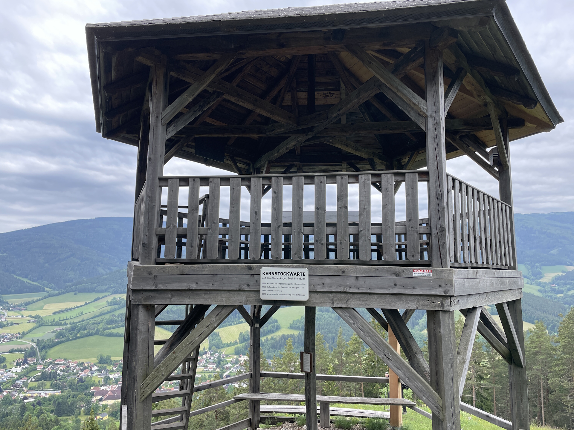
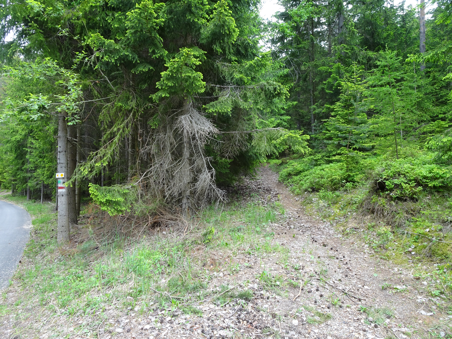
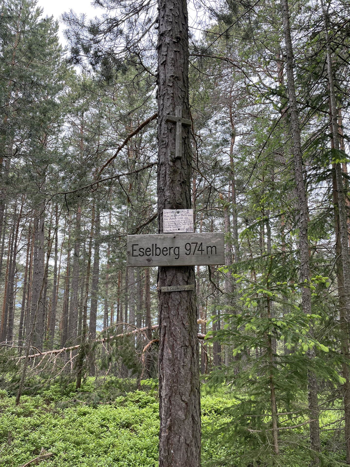
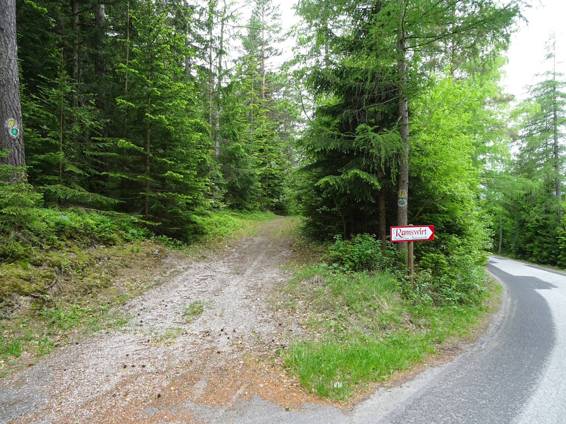
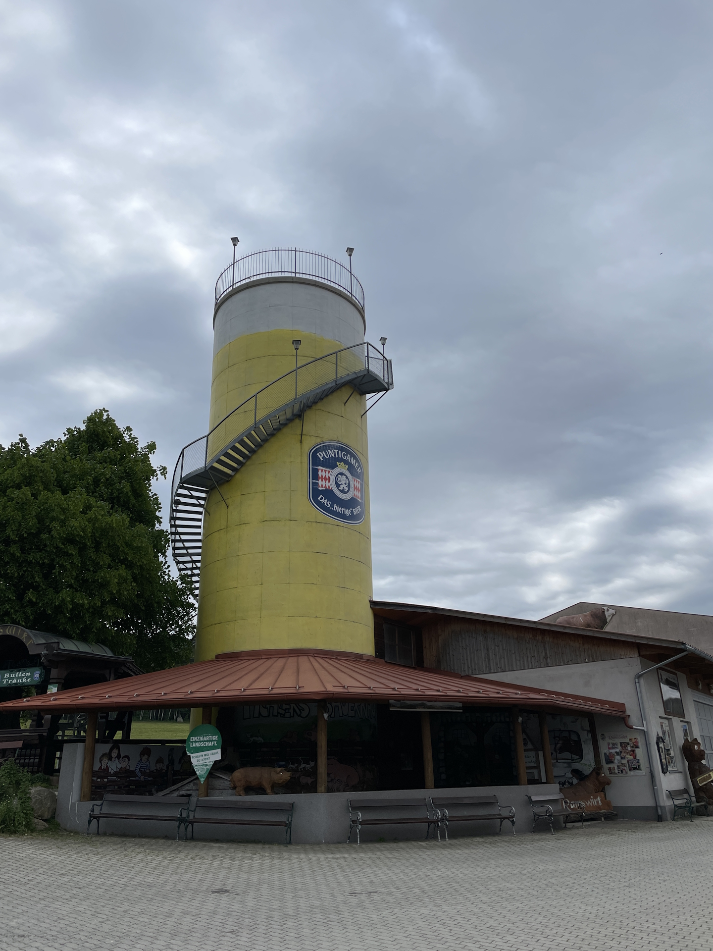
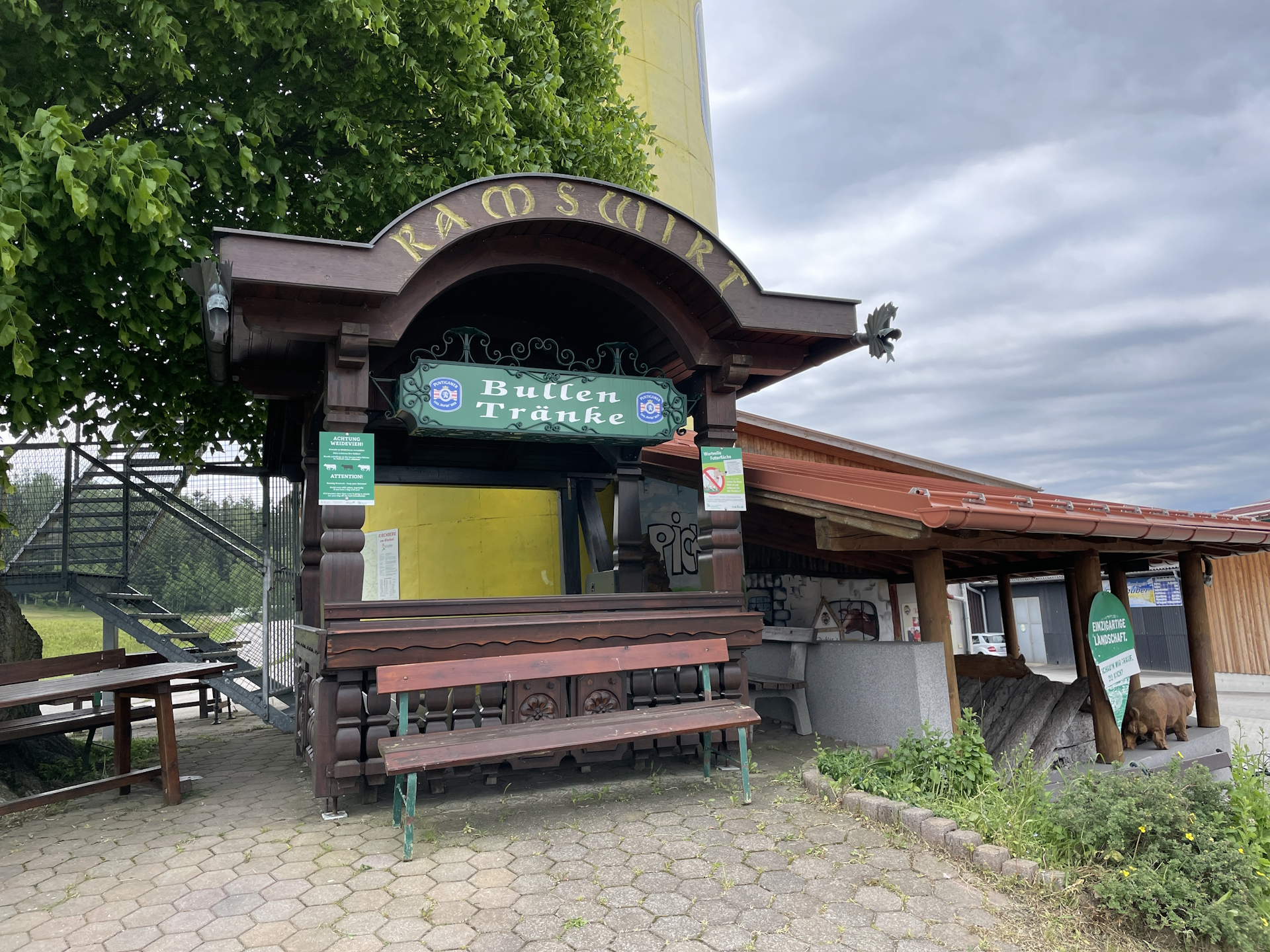
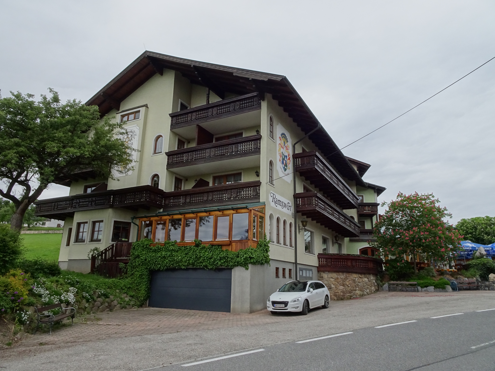
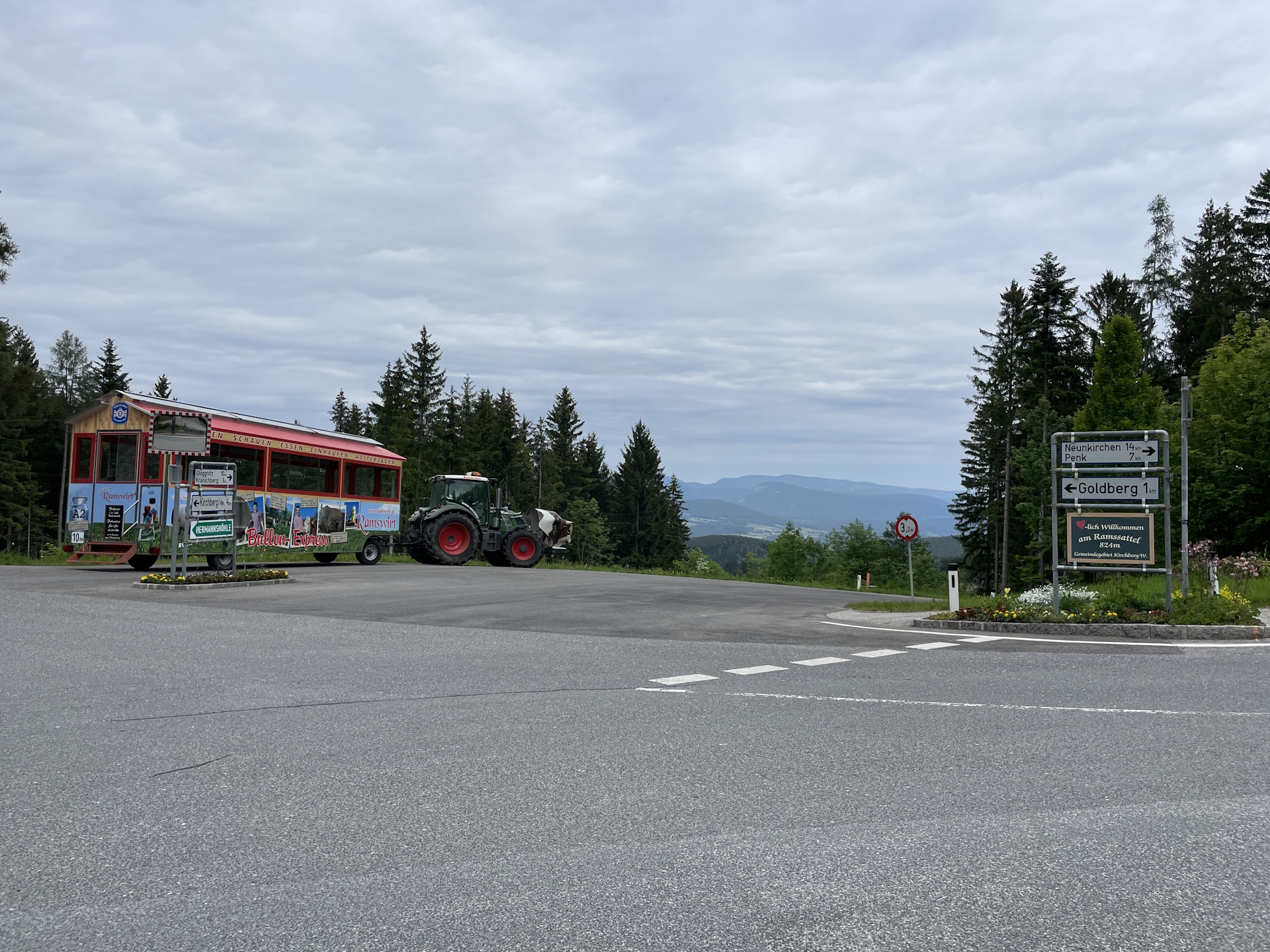
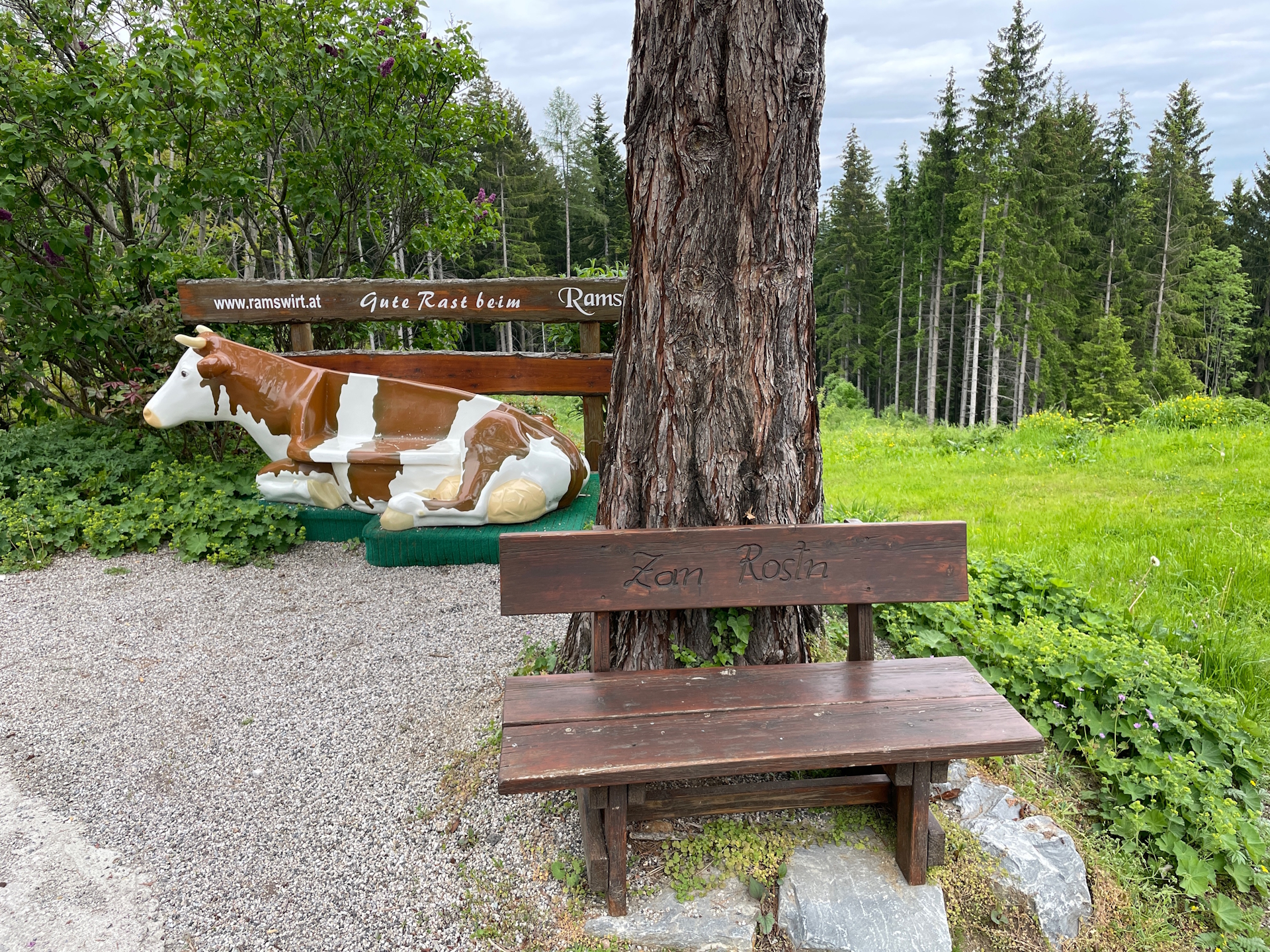
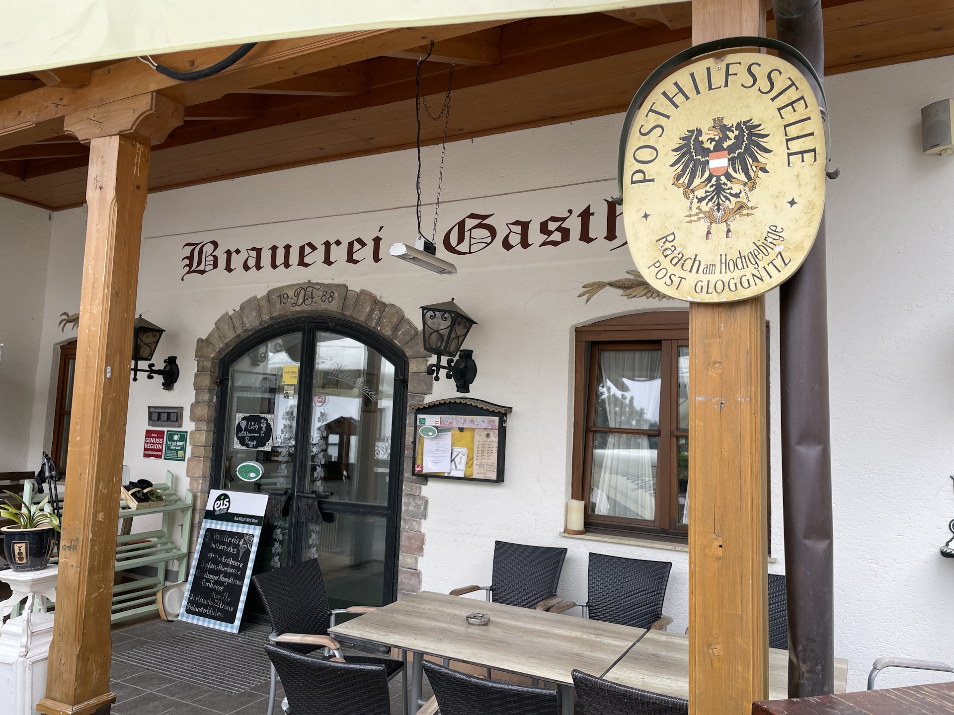
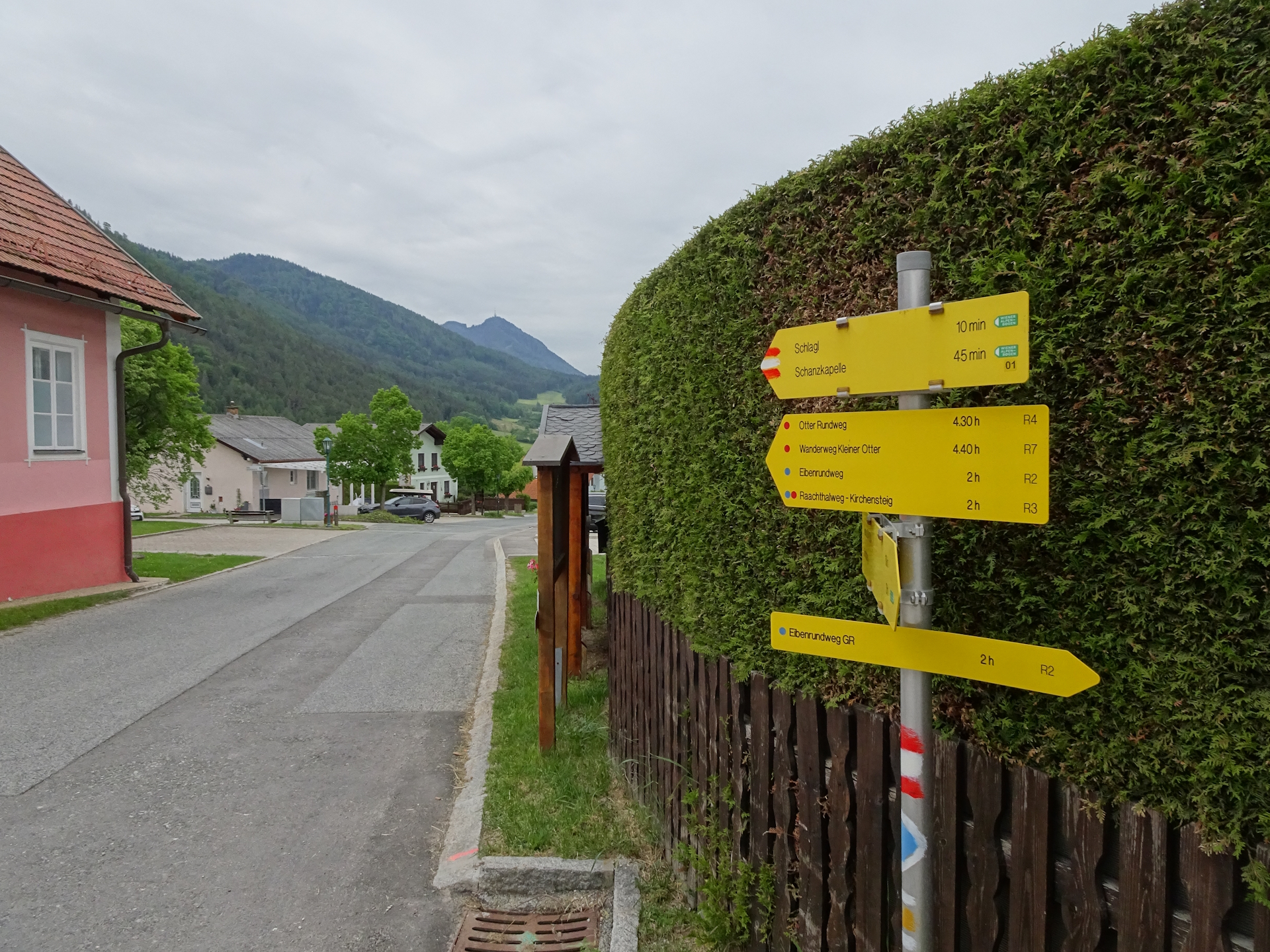
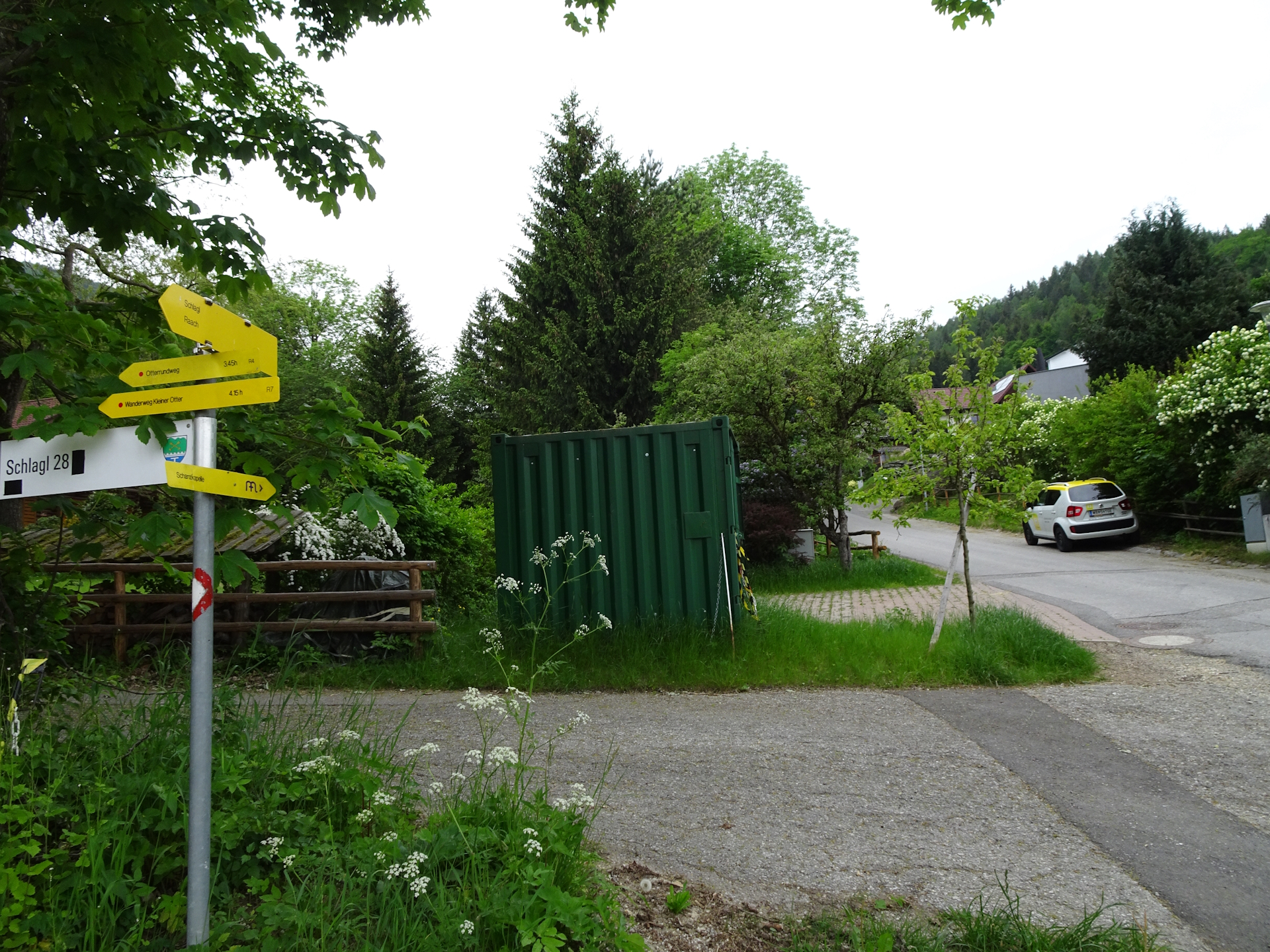
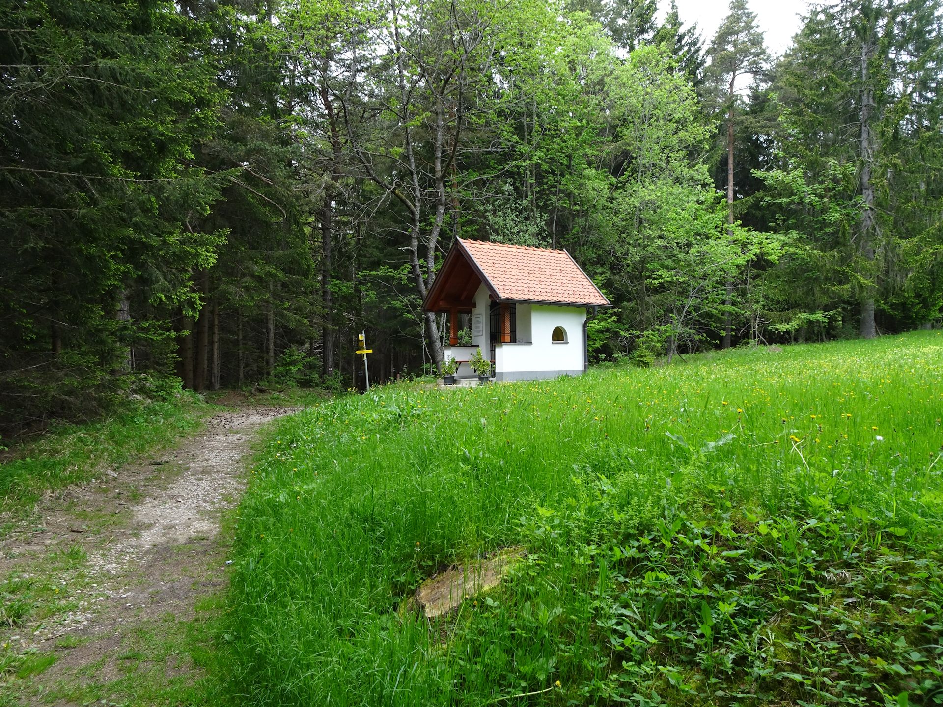
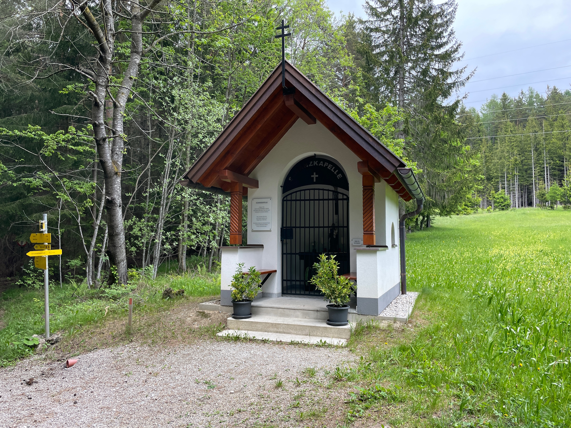
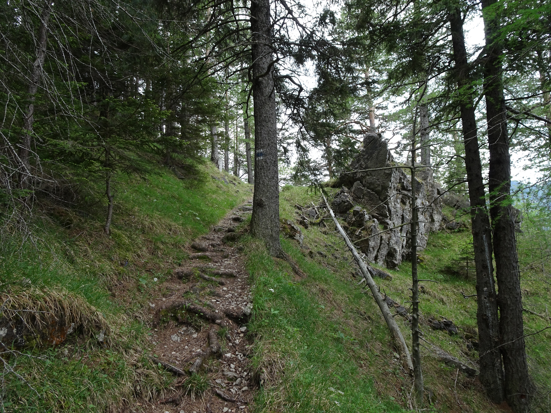
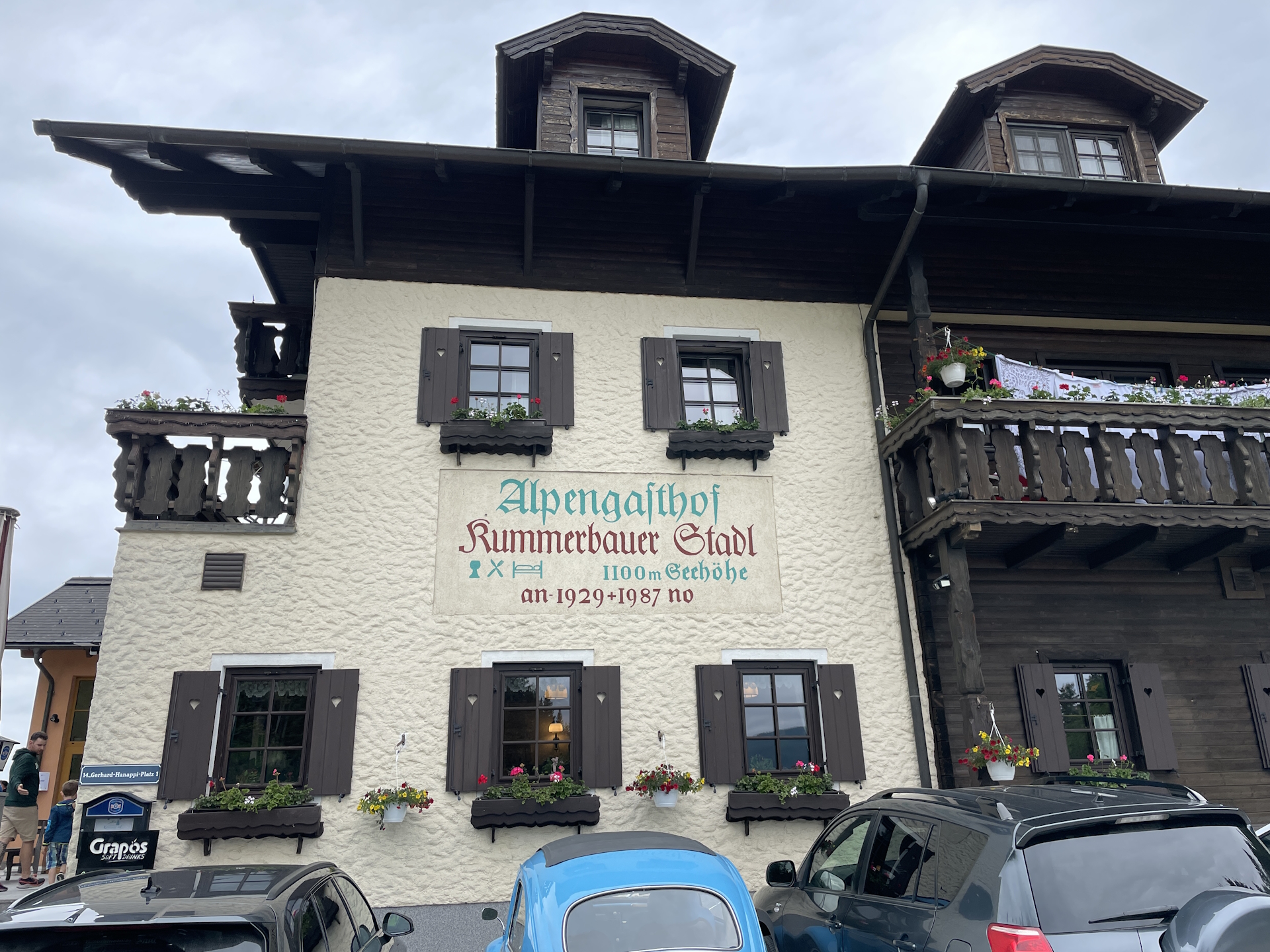
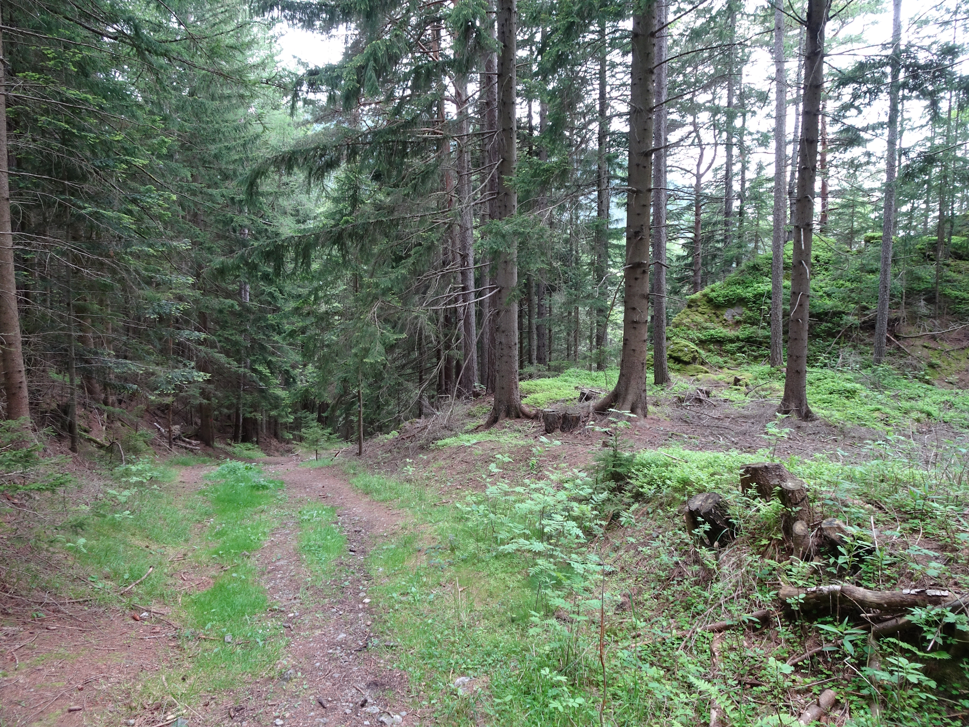
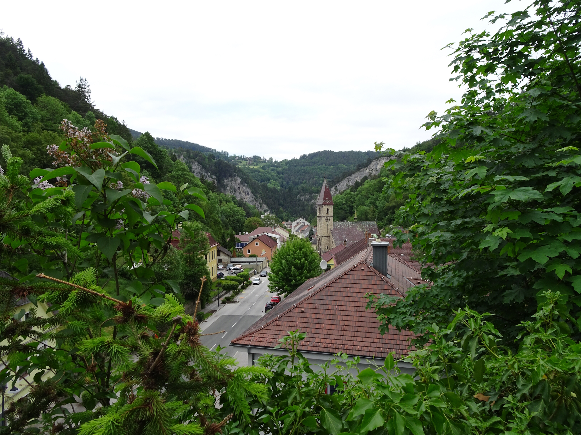
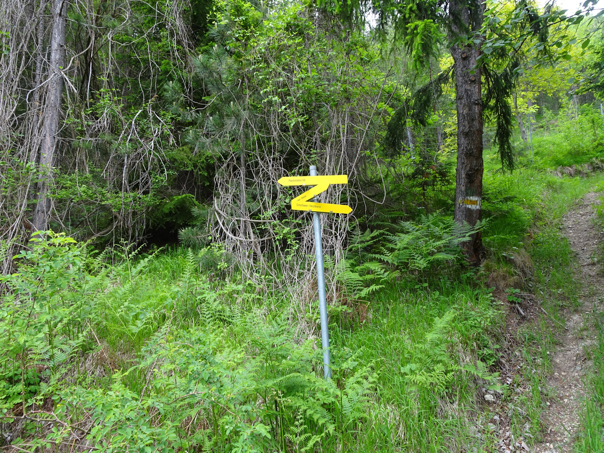
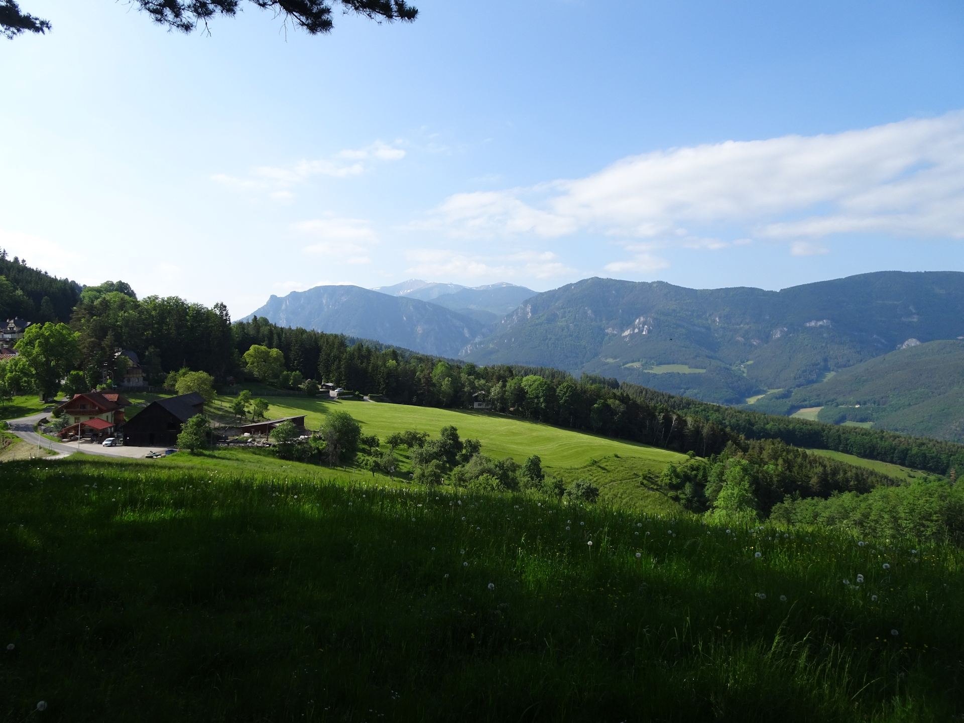
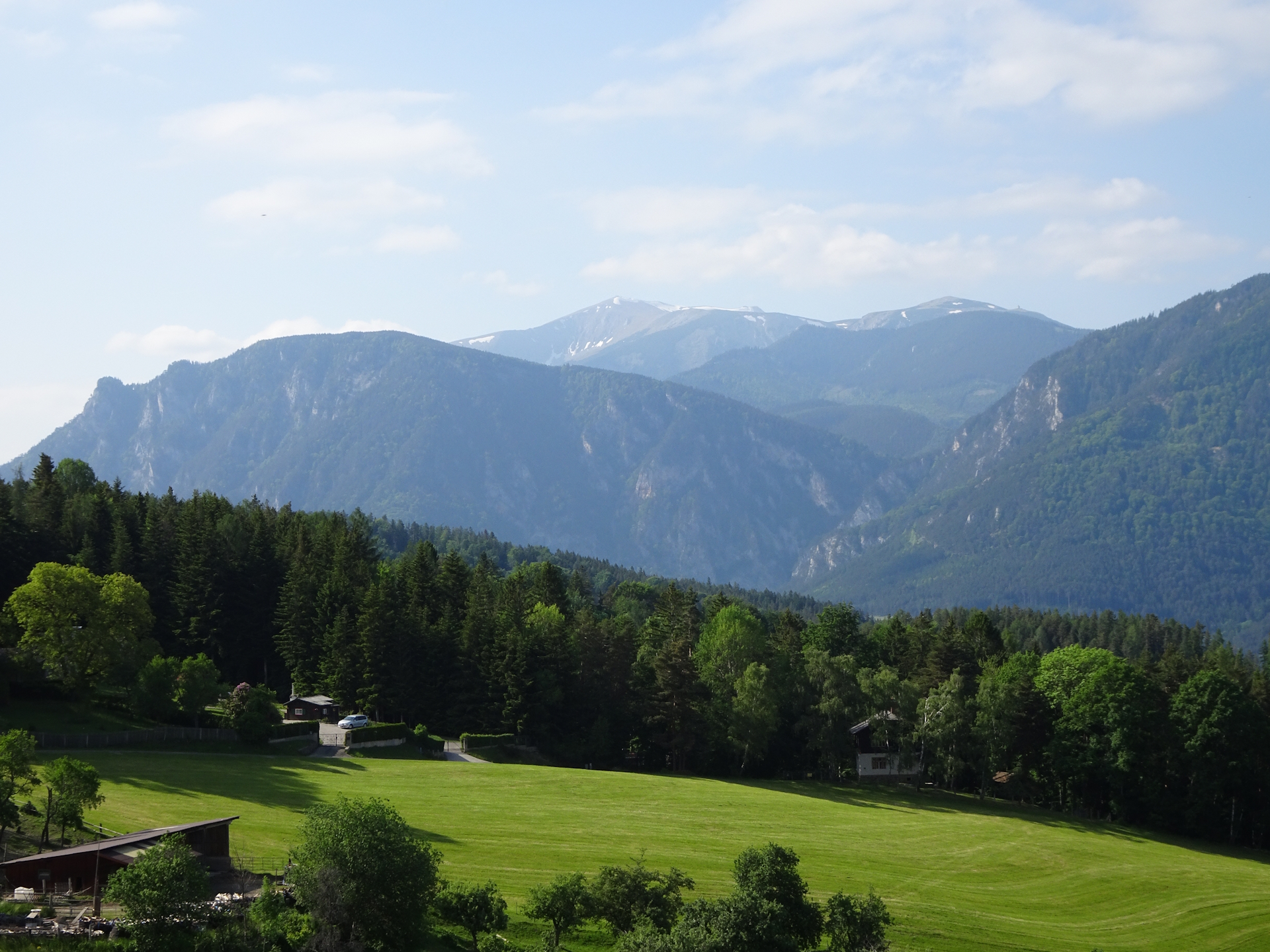
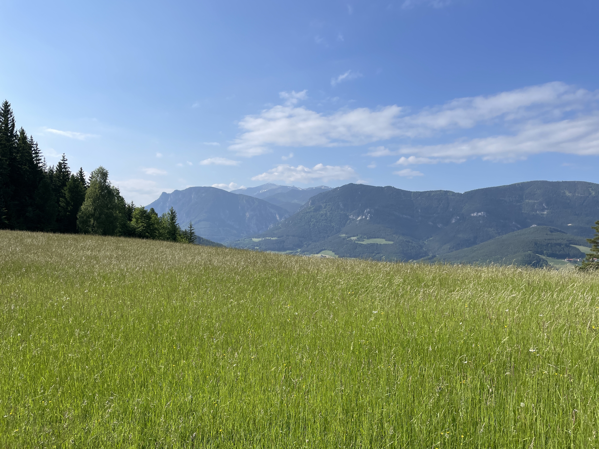
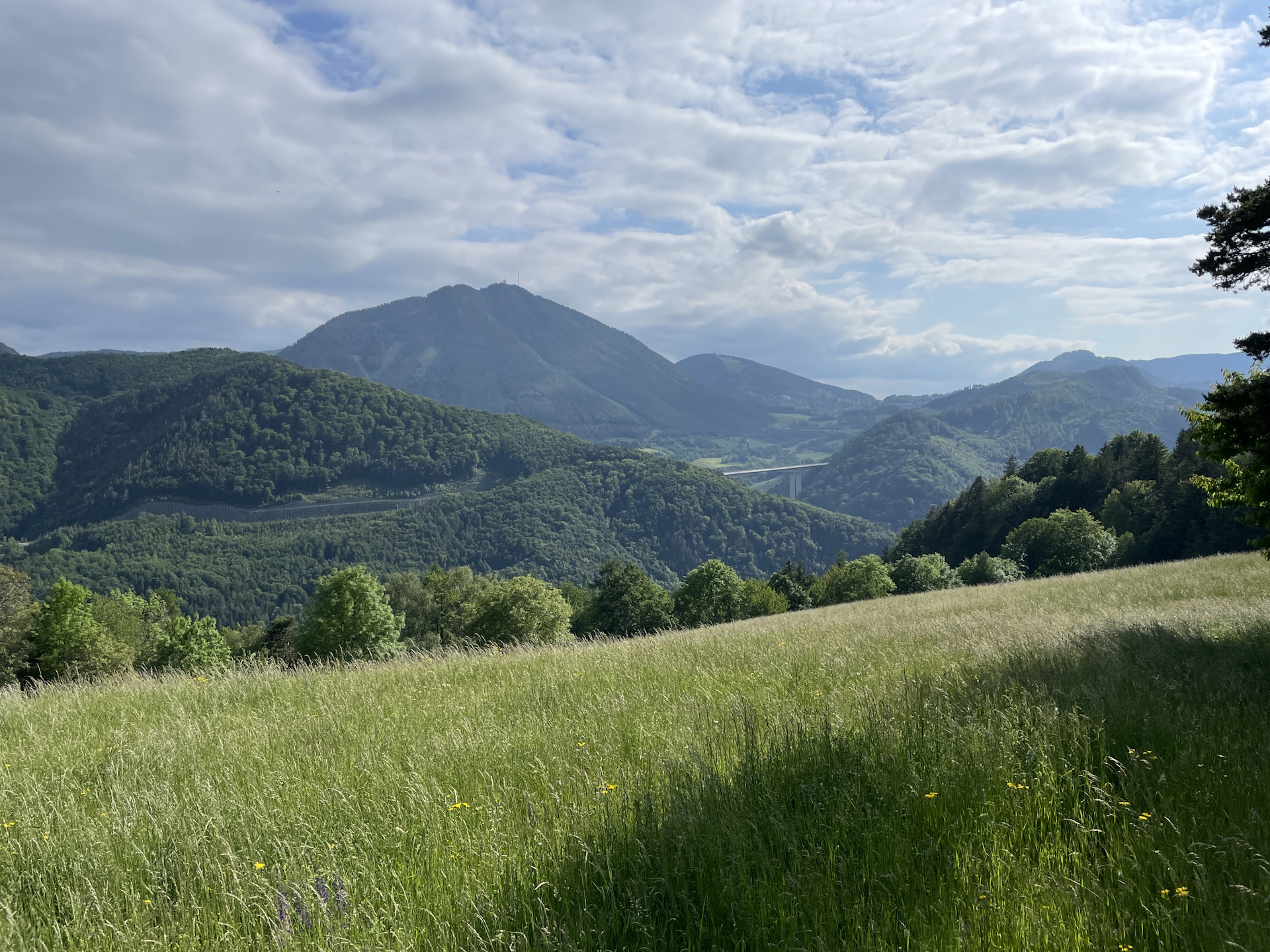
The tour starts at the bus station Kirchberg / Wechsel (Hauptplatz) and first follows the stairs between the Raiffeisenbank and the Gasthaus zur 1000 jährigen Linde up to the church and furhter into the forest towards the Kernstockwarte viewing platform (see signposts). At the crossing in the forest with both signposts towards Kernstockwarte, take the left one and follow the small trail up directly to the viewing platform. After enjoying the impressive view, continue following the trail northwards. A few meters after the clearing, keep right after the crossing with the street and follow the small trail up to Eselberg. Continue following the trail back to the street and turn left into the yellow marked trail towards Ramswirt. The trail passes by the Ramswirt Tränke with is iconic silo in the colours of a beer glass. Continue following the street heading directly to the Ramssattel with the Ramswirt restaurant. At the saddle, follow the yellow-marked trail westwards heading towards Raach am Hochgebirge. In Raach, follow the well-marked trail 01A towards the Schanzkapelle. At this little chapel, turn left and now follow the small but scenic trail towards Gasthaus Kummerbauerstadl.
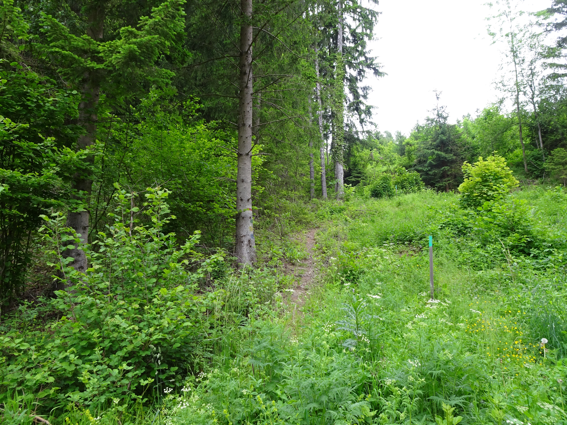
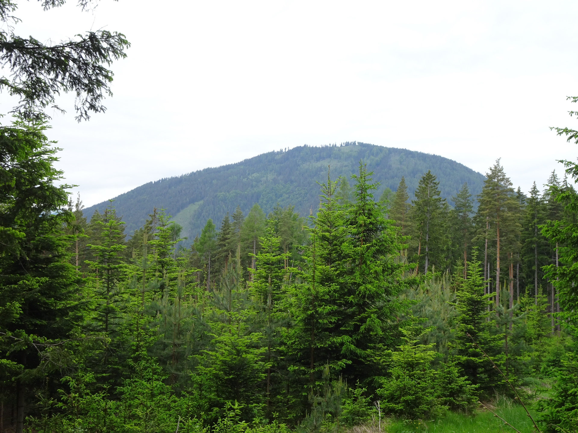
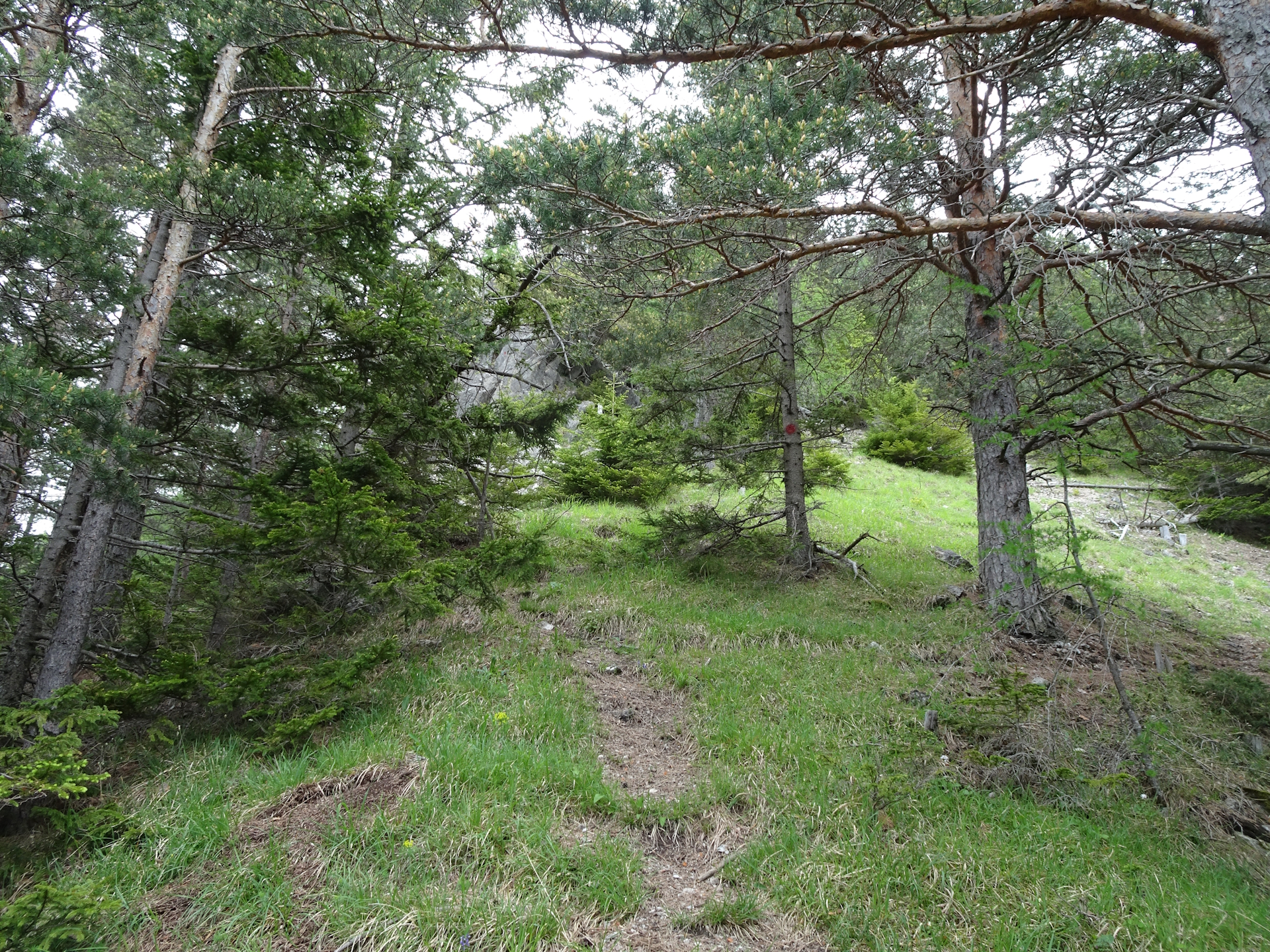
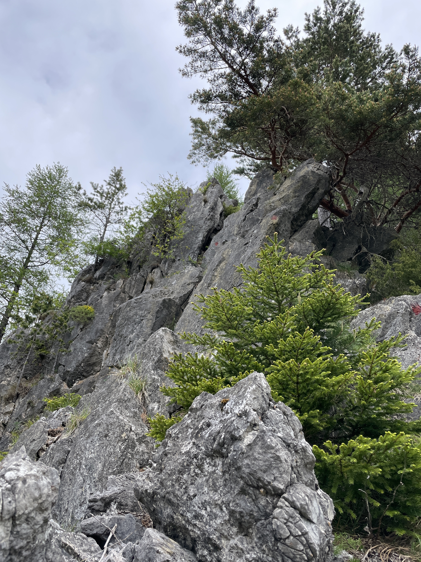
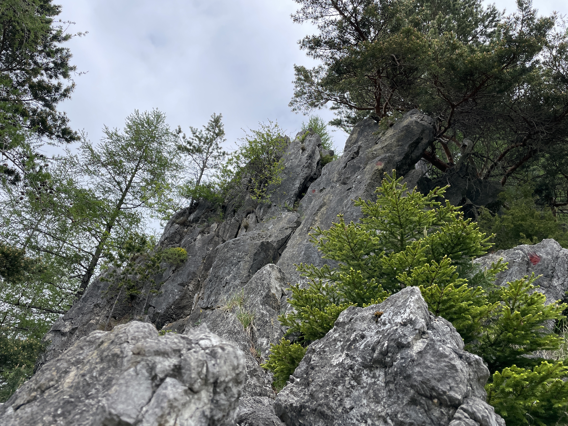
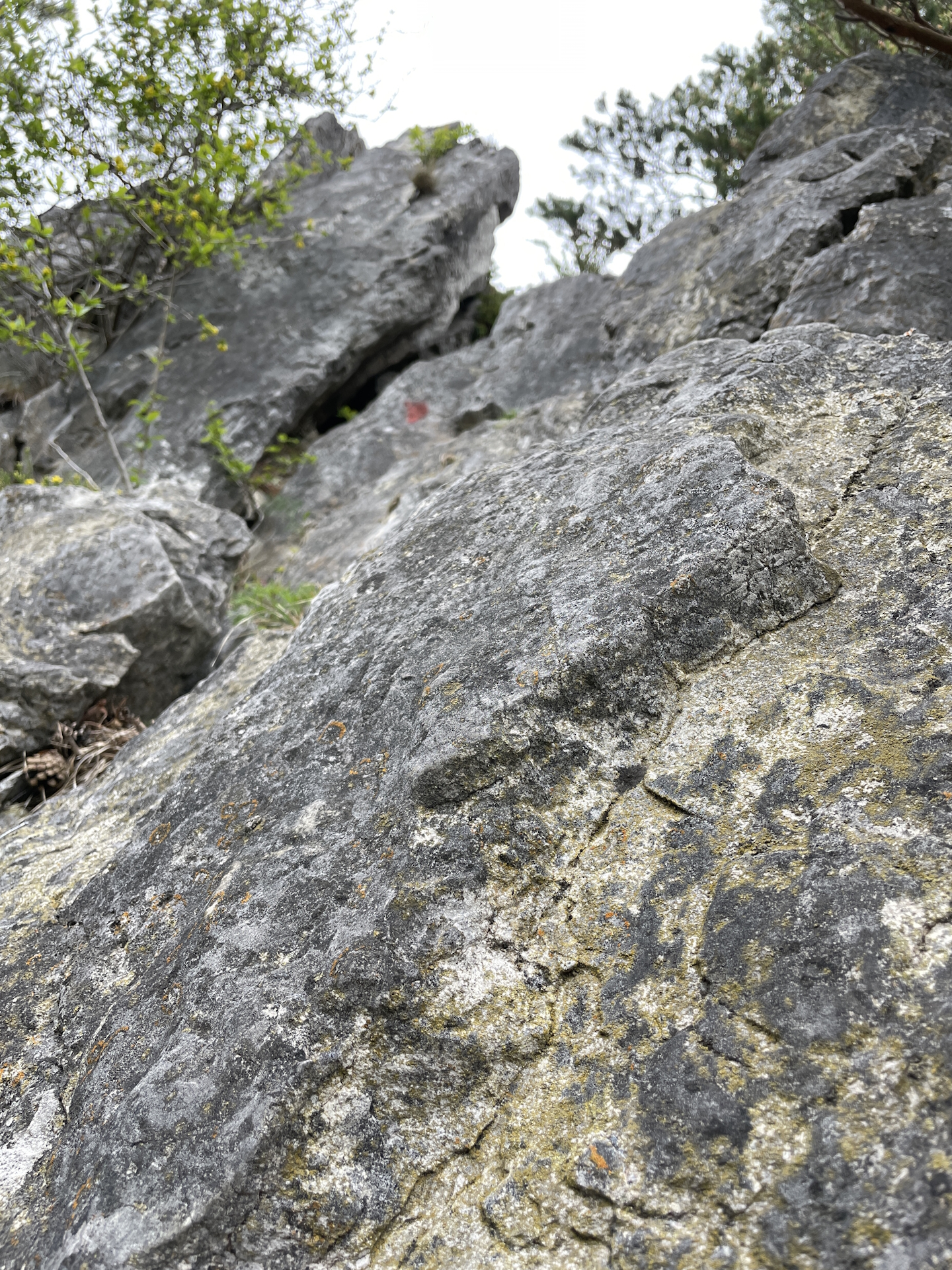
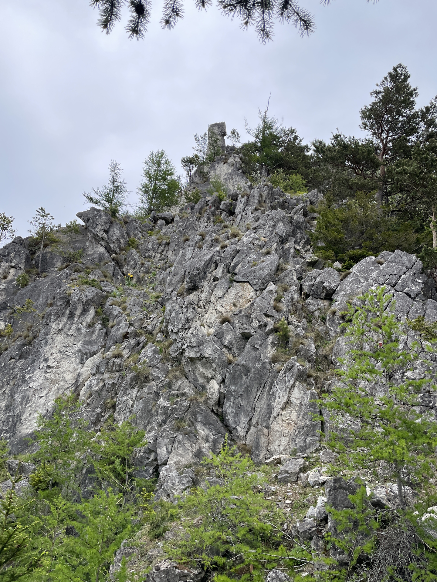
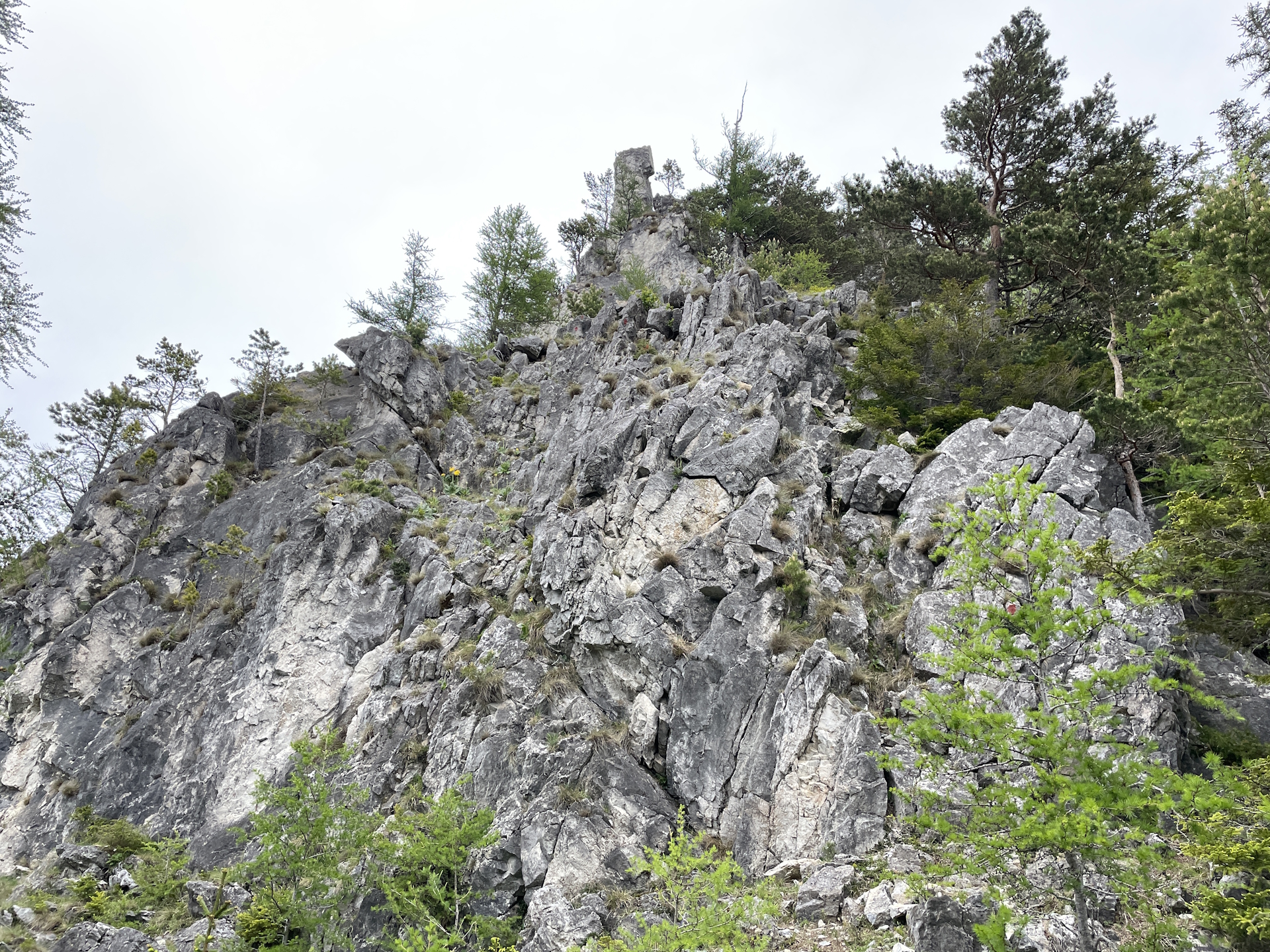
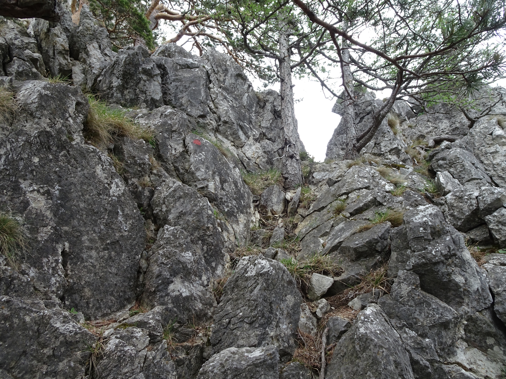
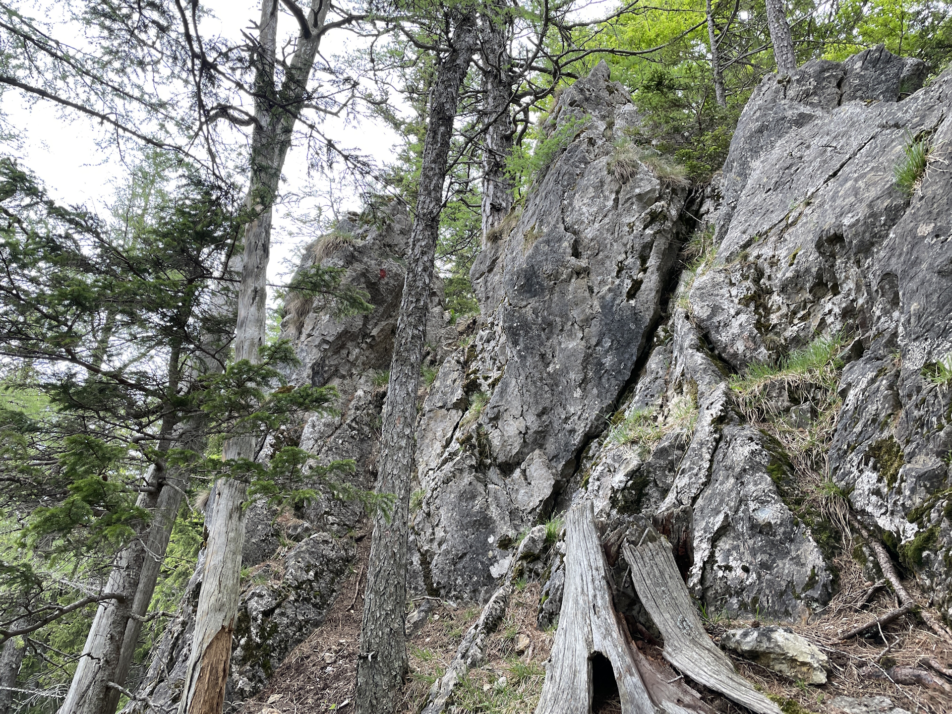
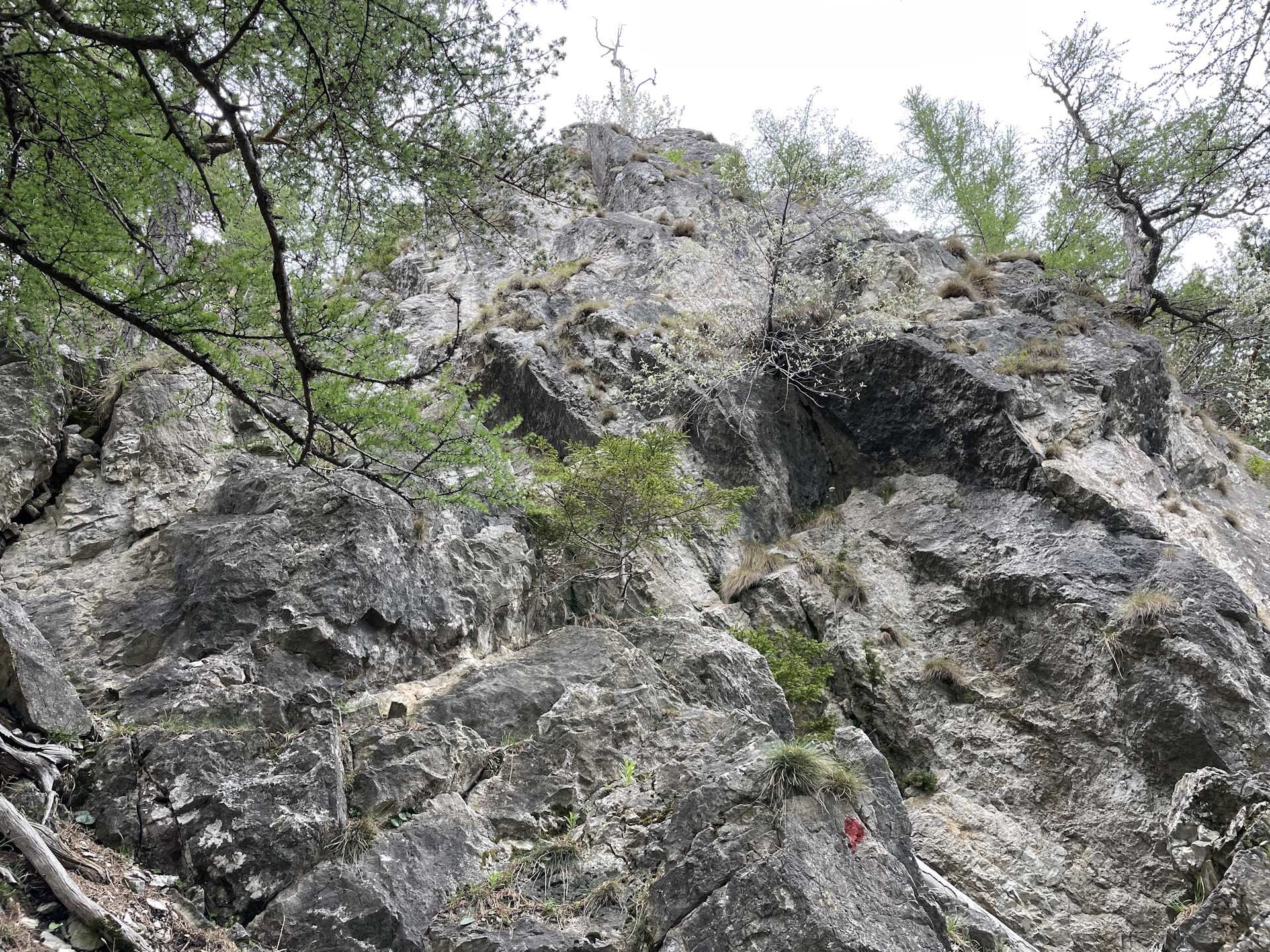
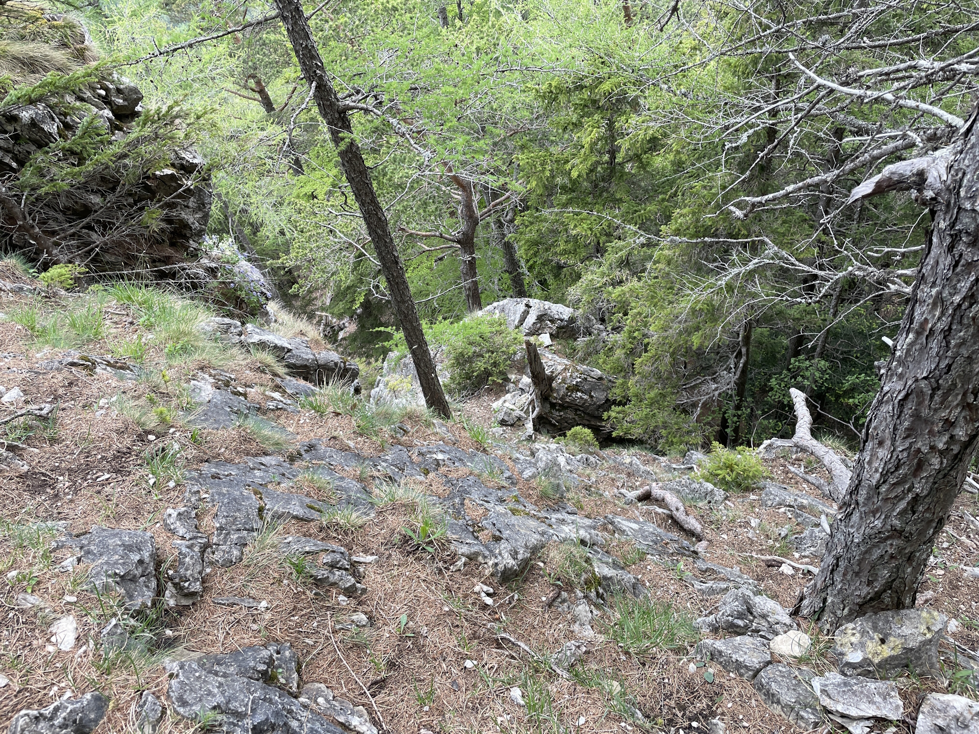
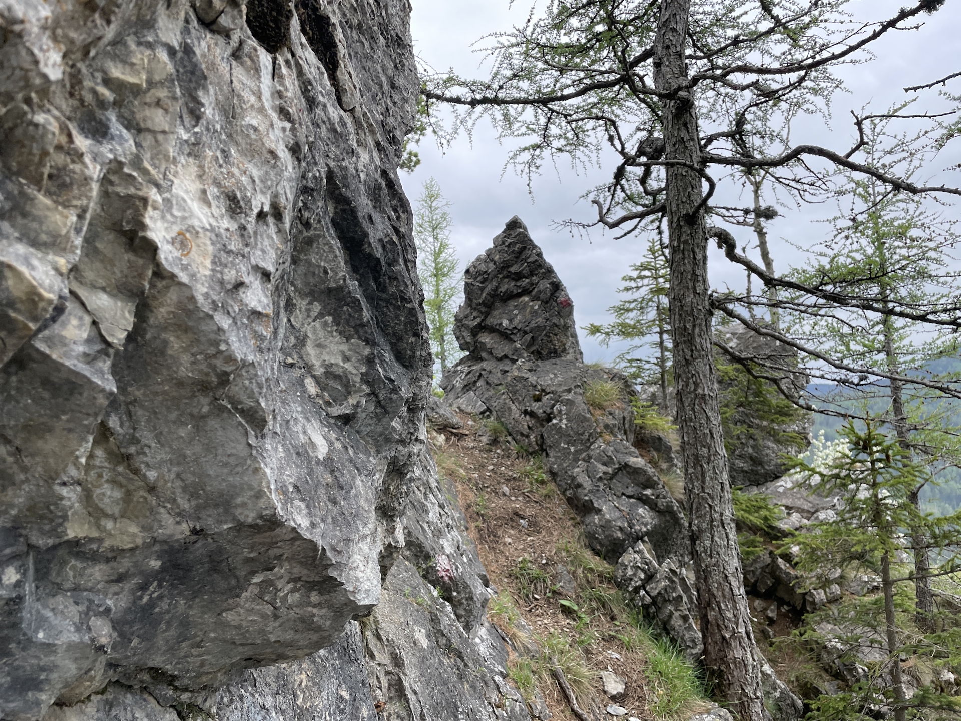
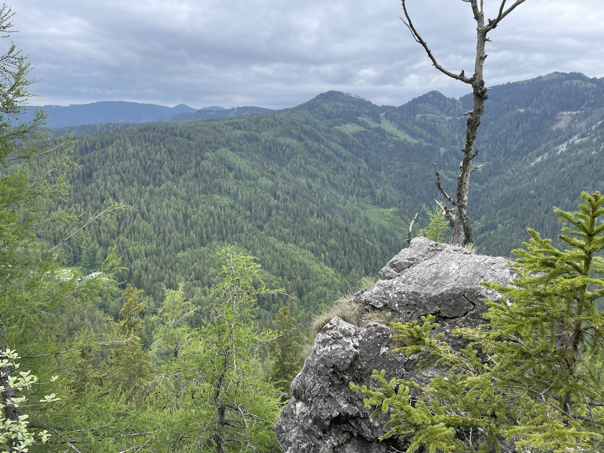
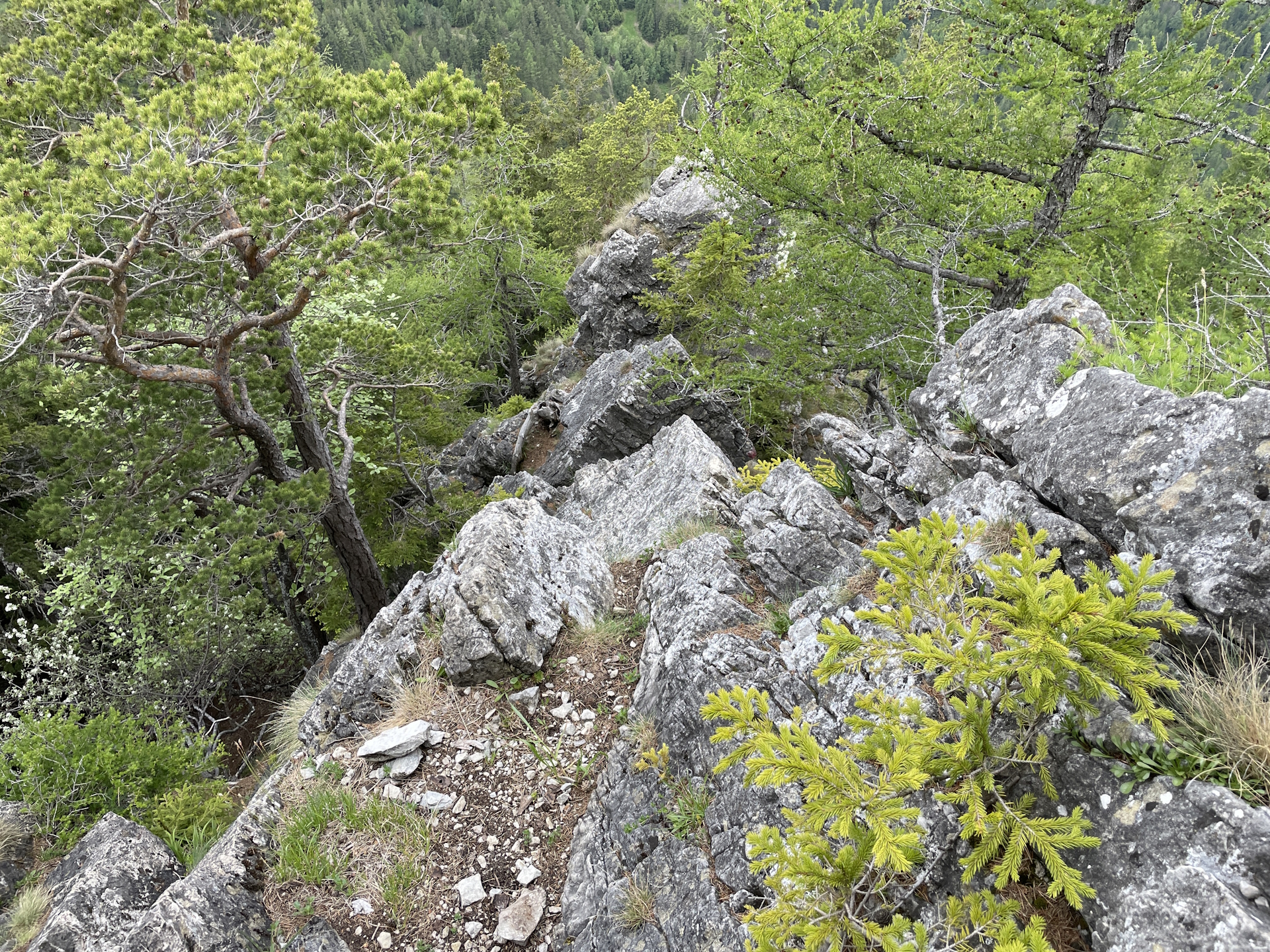
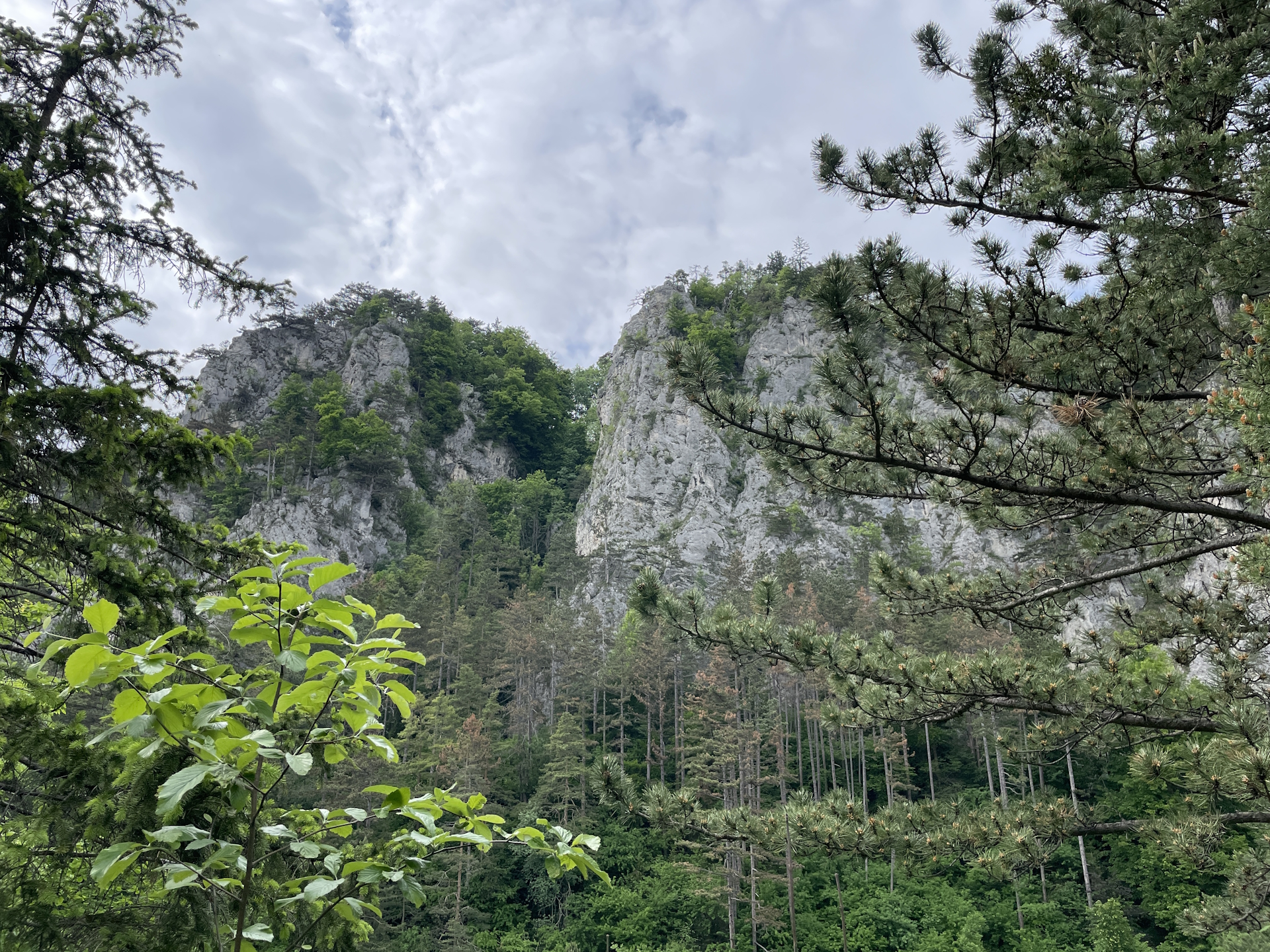
At the u-turn before the hut, the trail offers an optional and recommended detour up to the Kleiner Otter using an easy but scenic climbing route (UIAA I). From the summit of Kleiner Otter, traces of a trail lead downwards (south) back to the hiking trail which then leads directly to the Gasthaus Kummerbauerstadl.
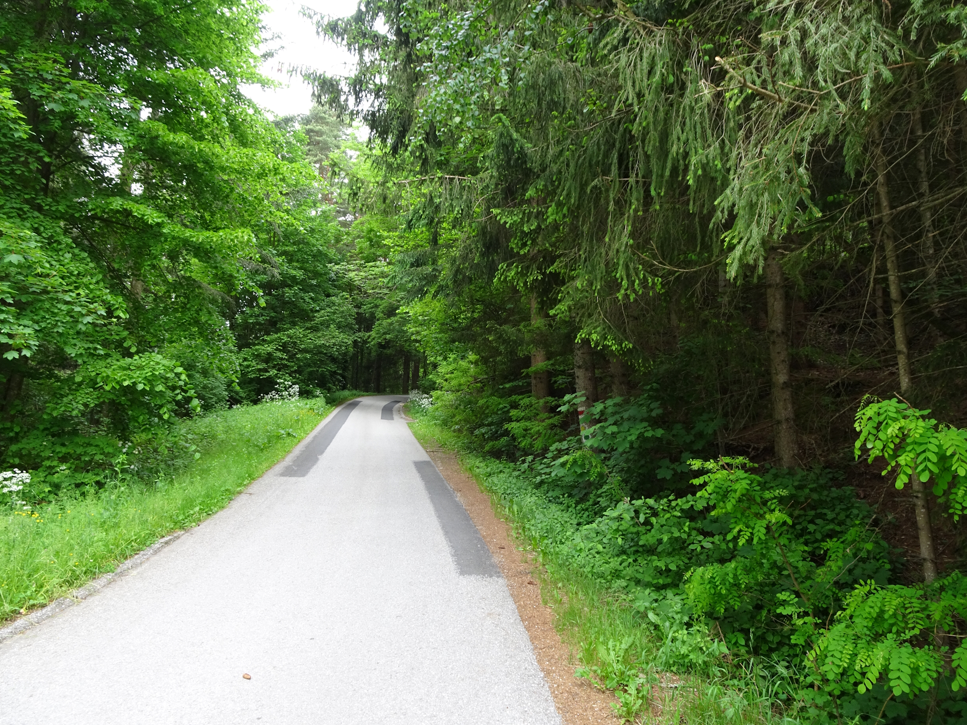
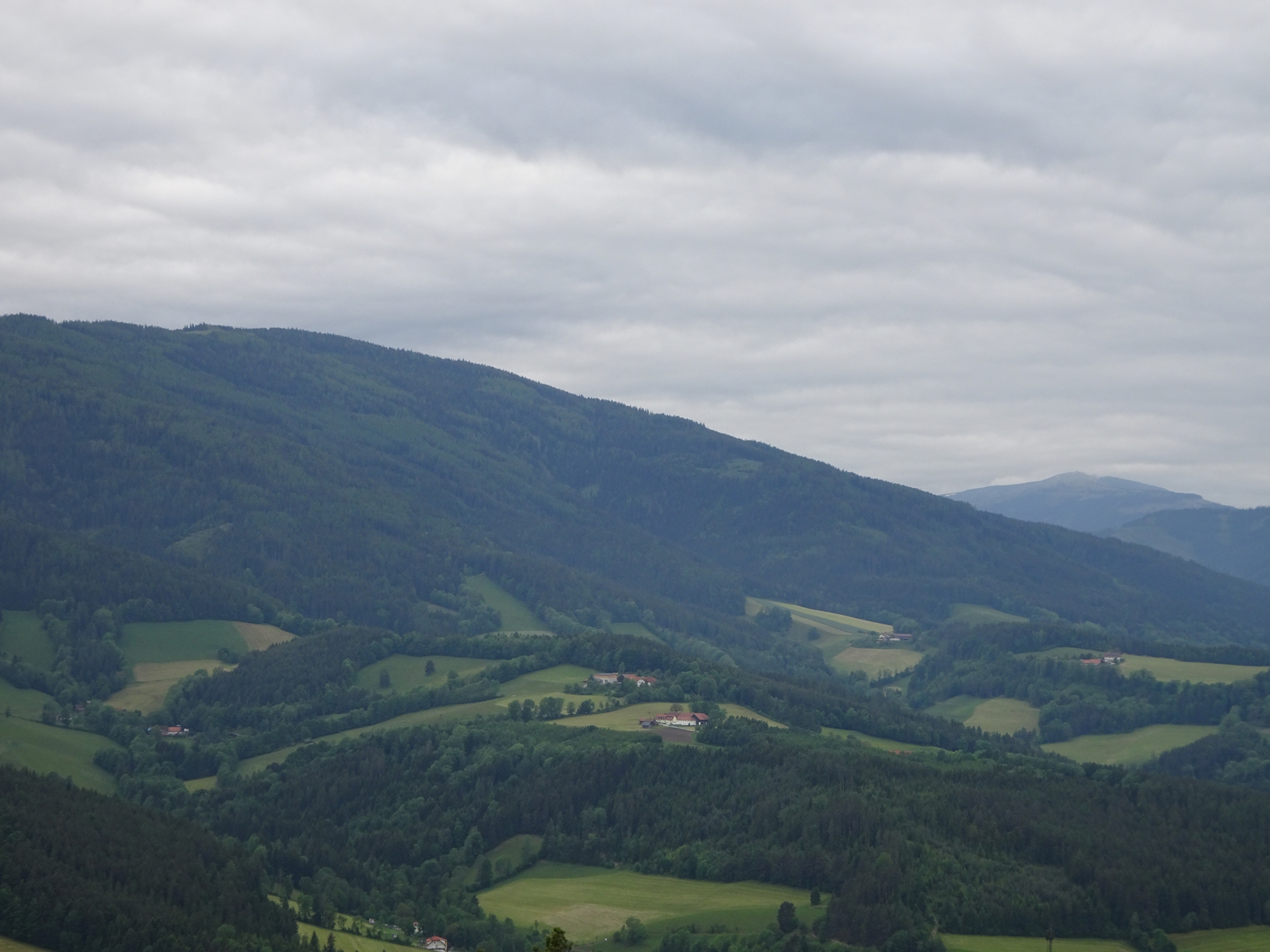
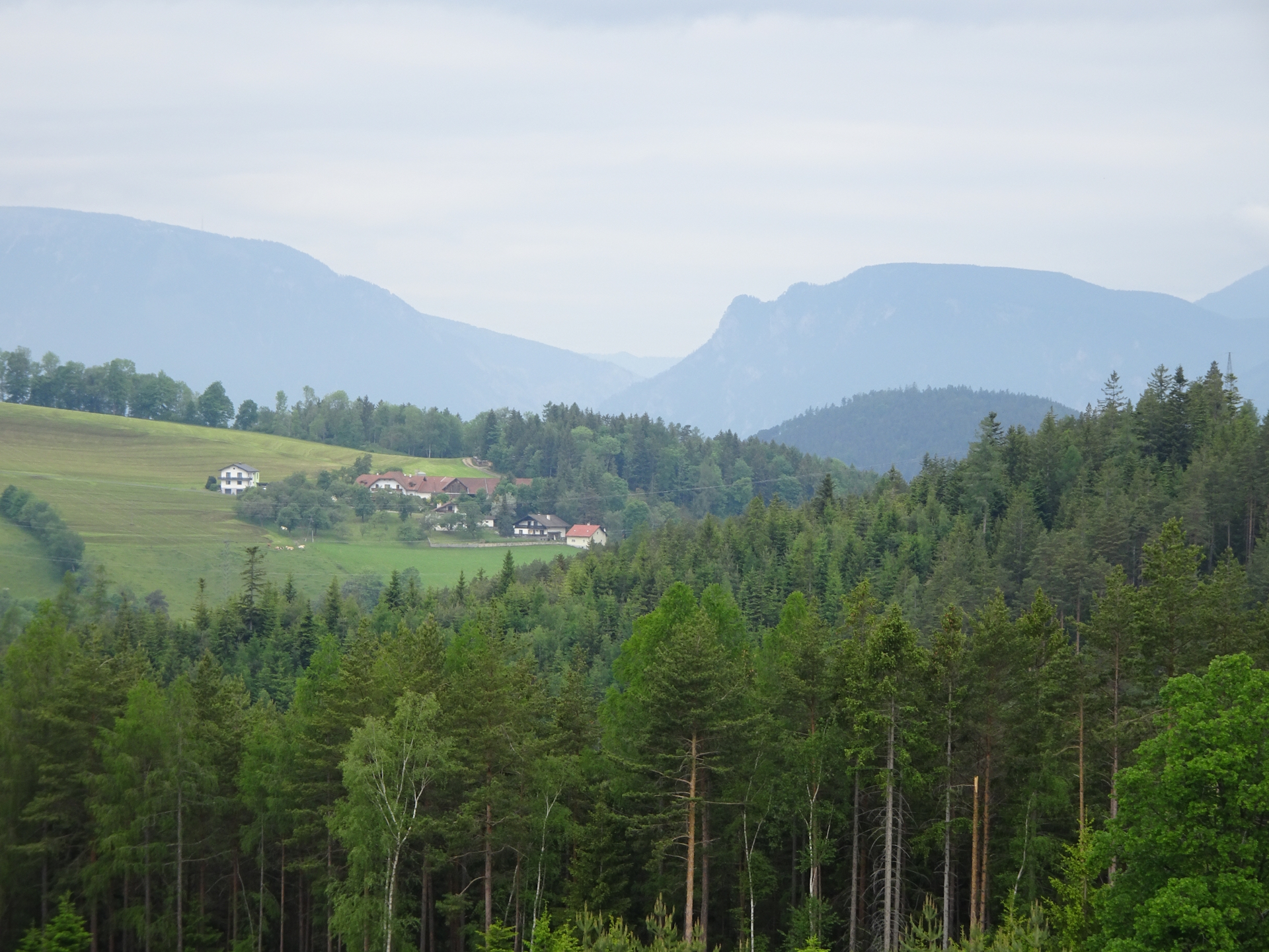
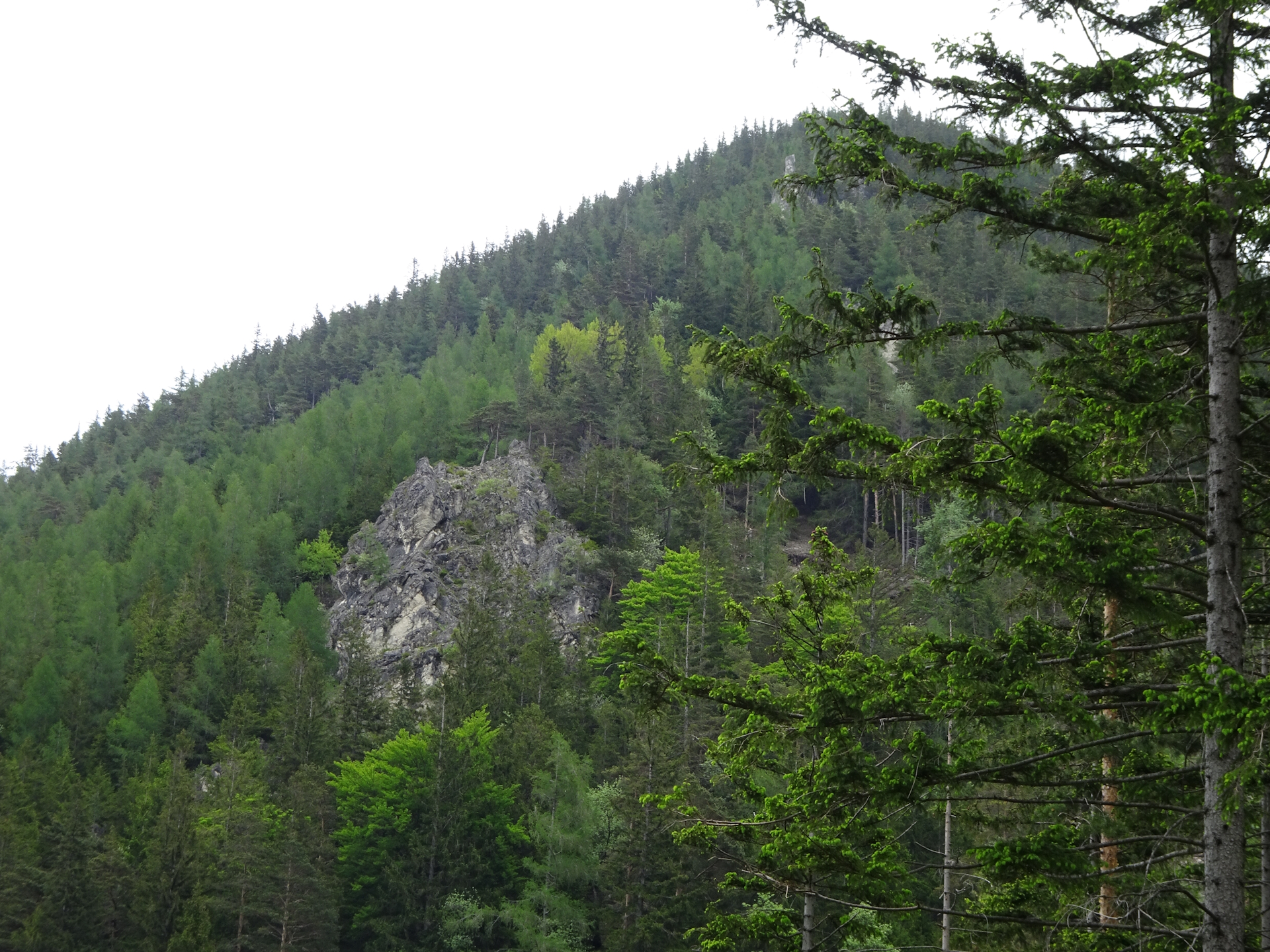
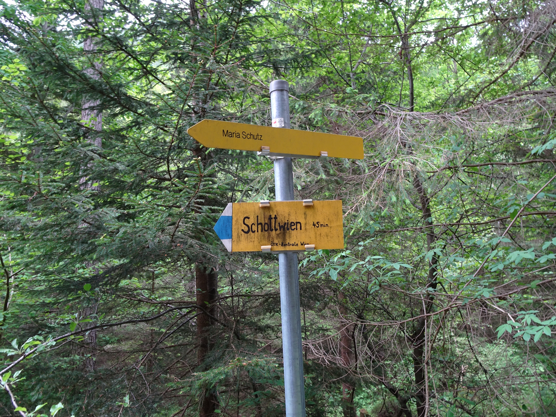
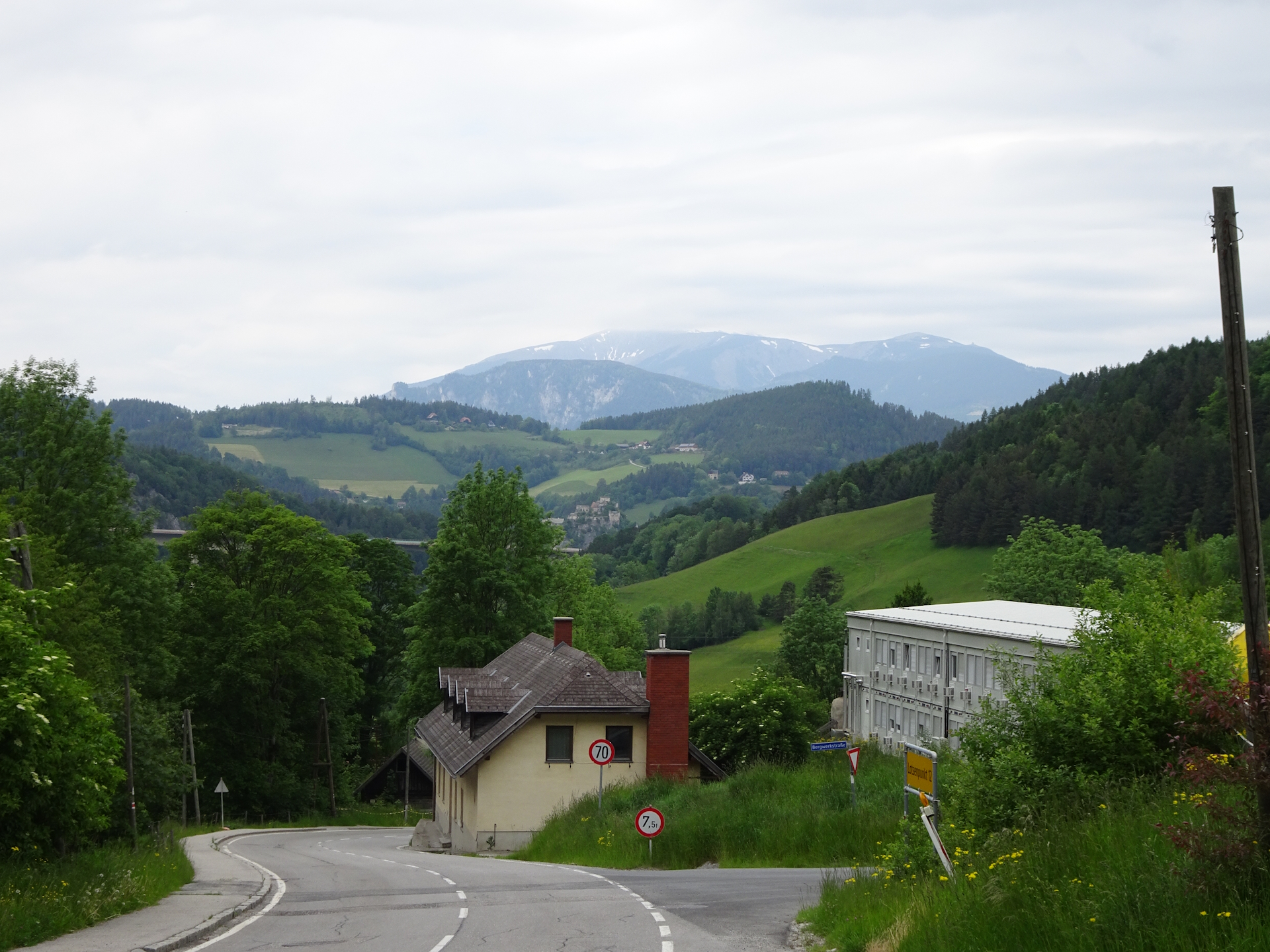
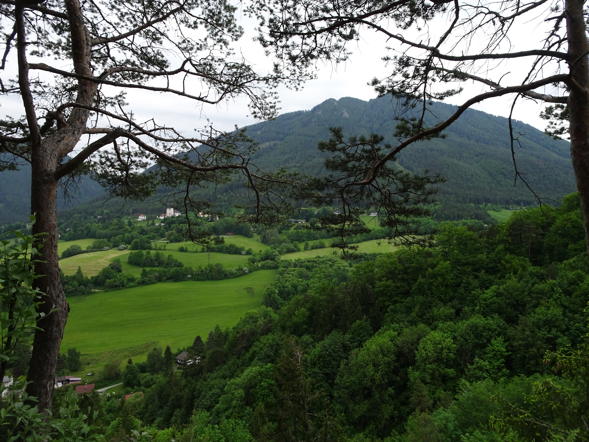
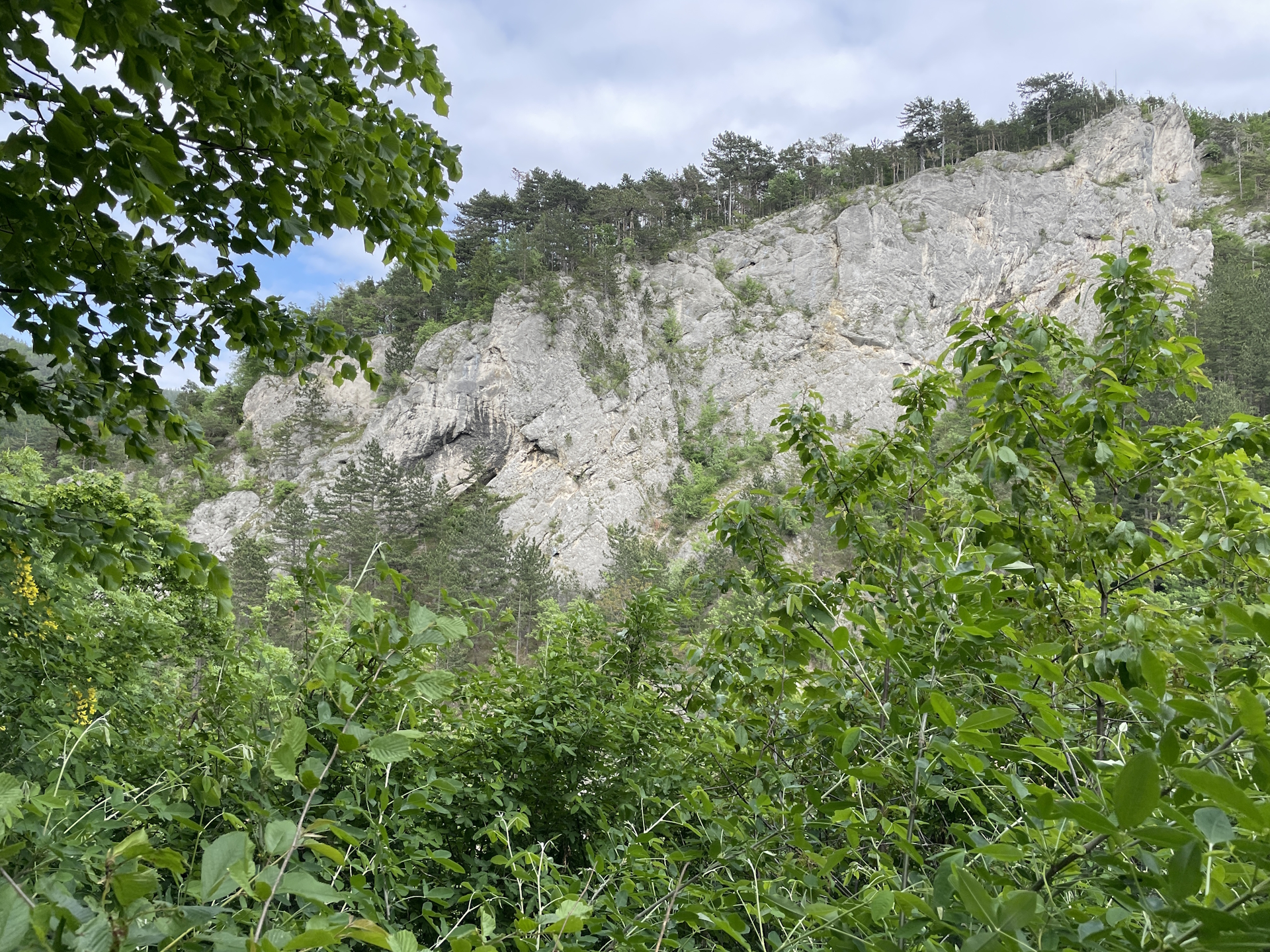
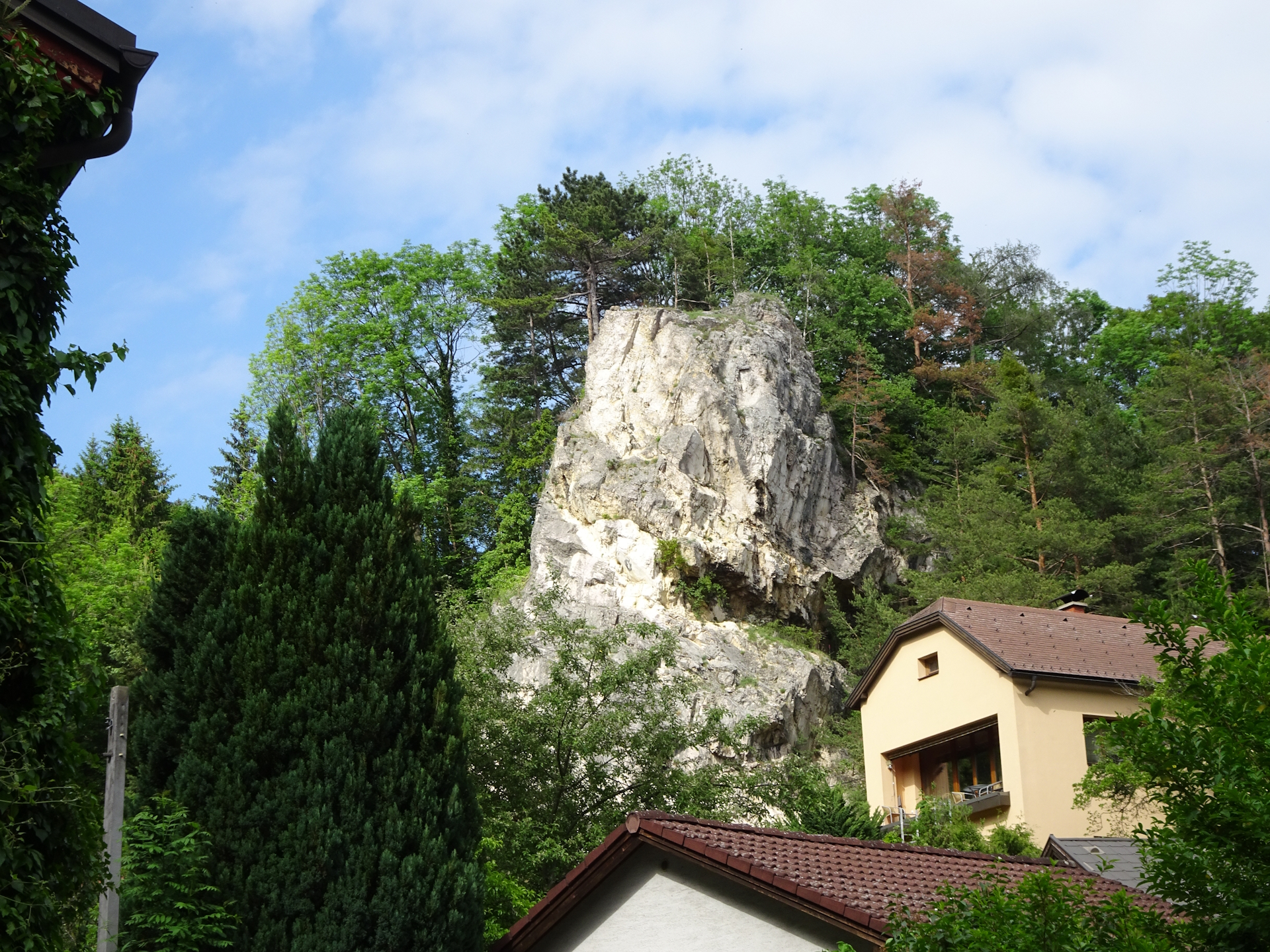
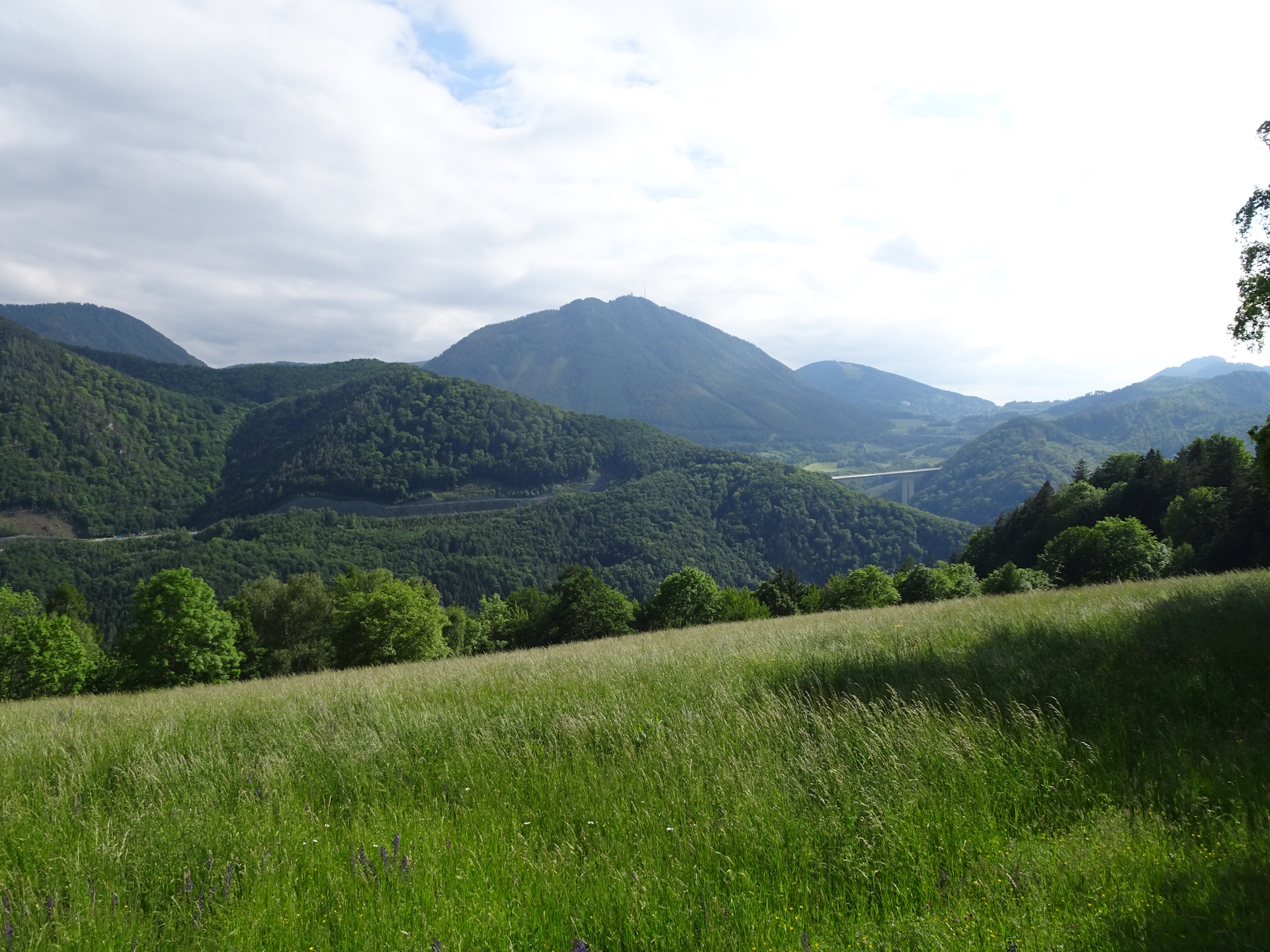
After a well-deserved break, the tour now follows the blue marked trail towards Schottwien, bypassing the viewing tower of Göstritz. The tour now continues following the blue marked trail along the street into the village of Schottwien.
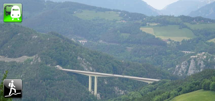
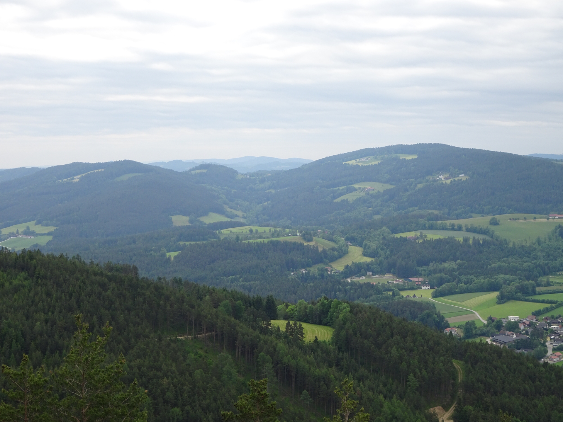
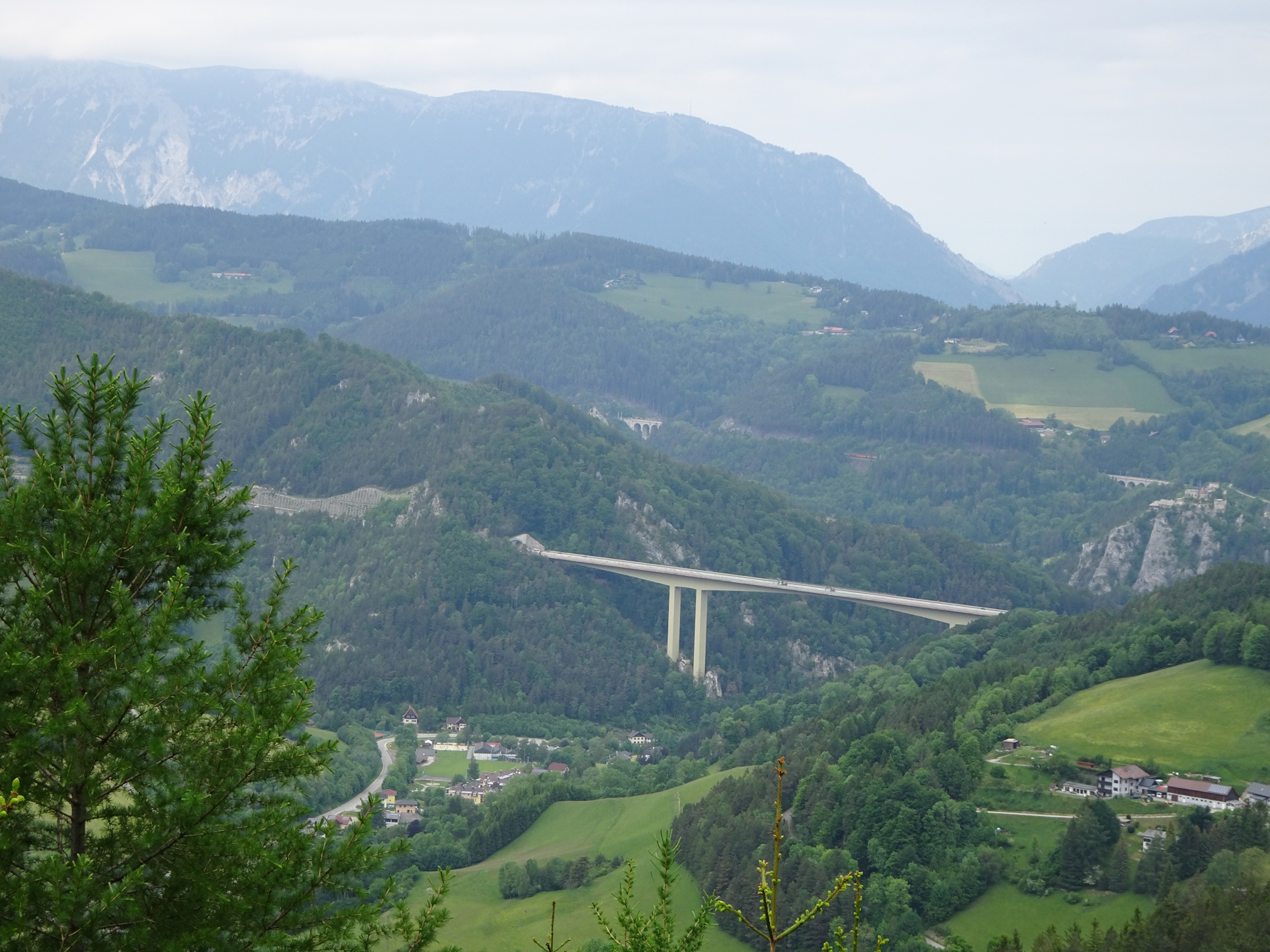
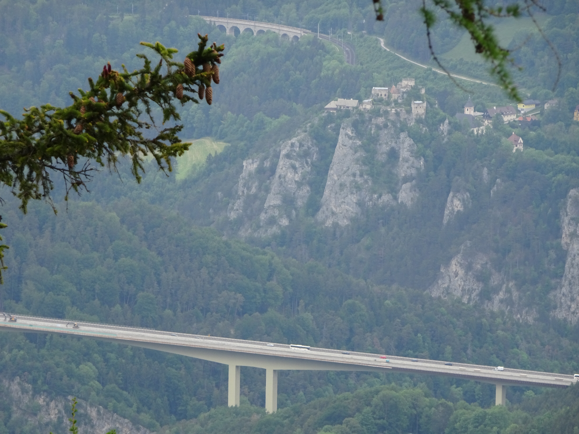
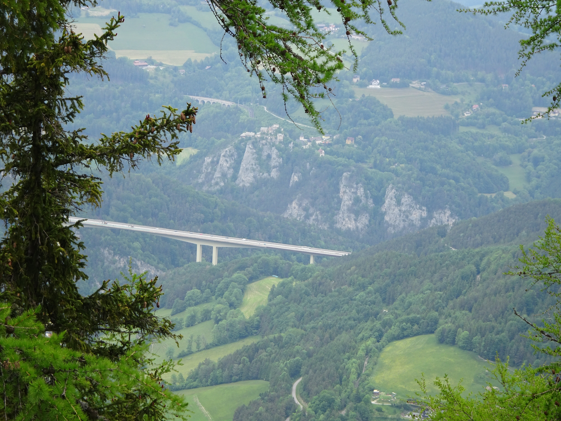
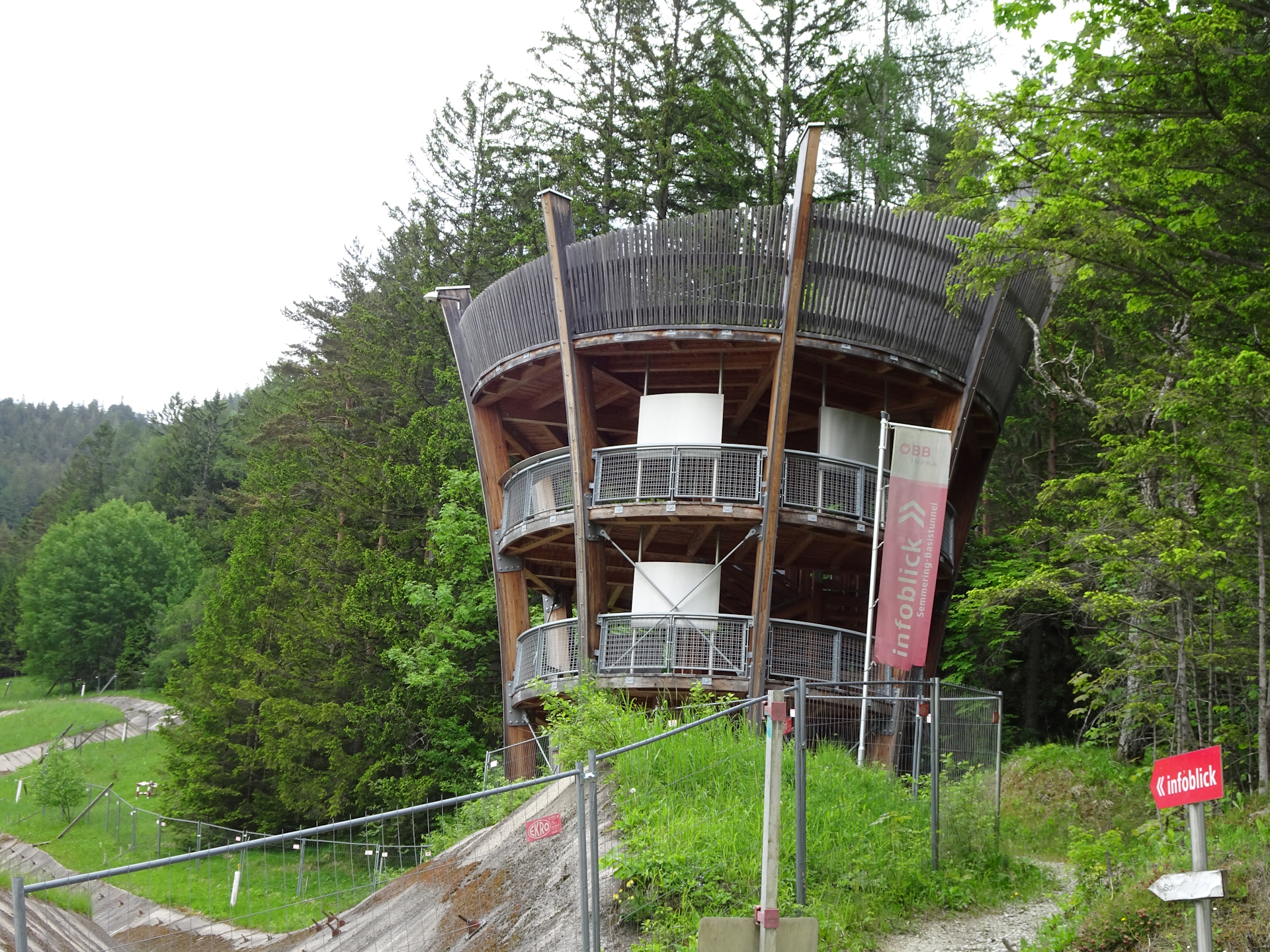
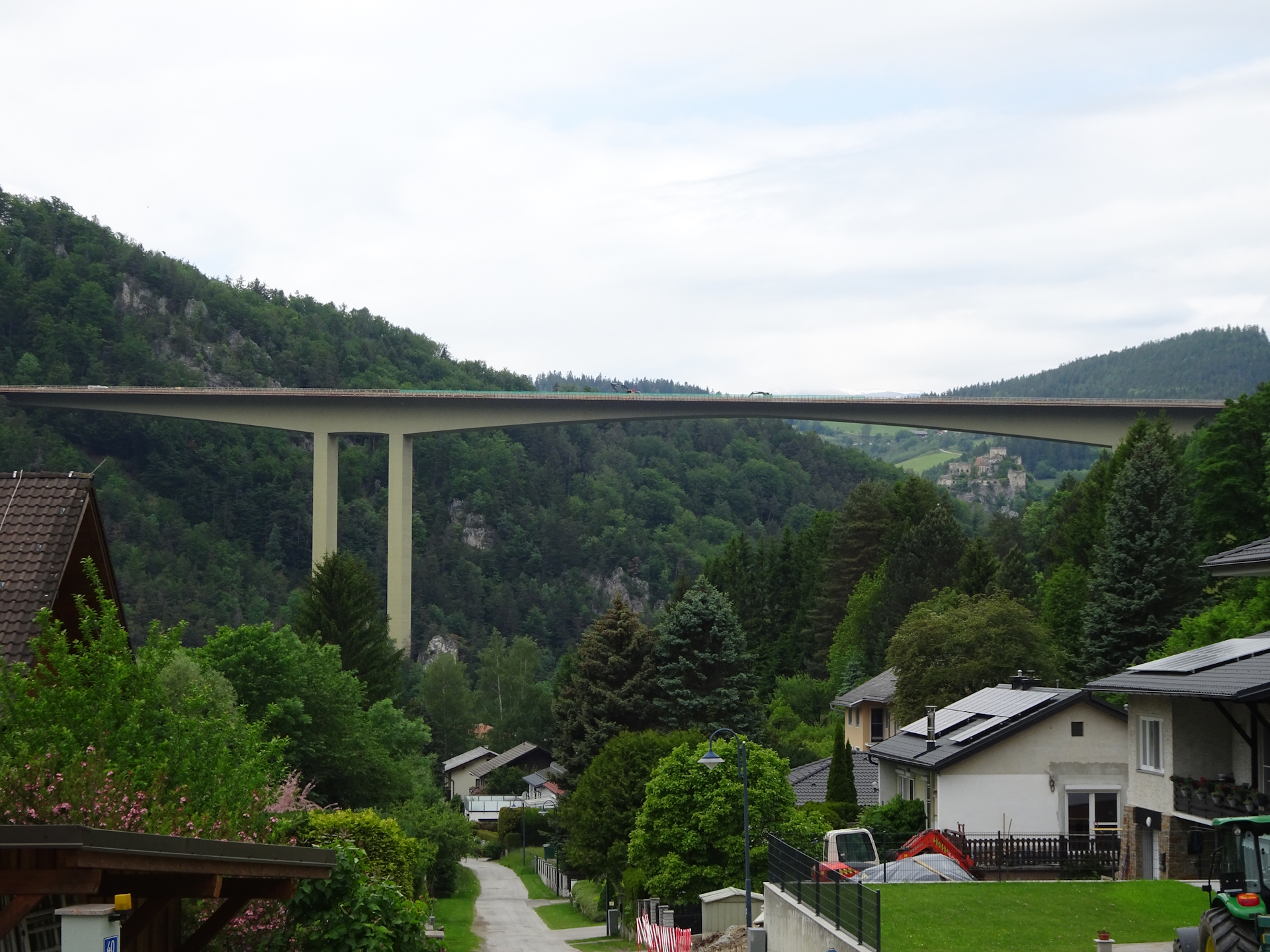
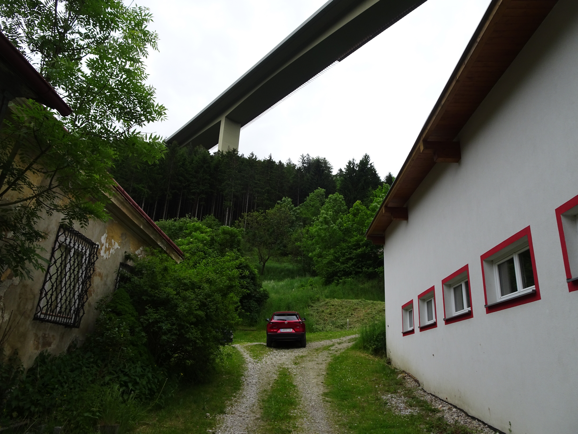
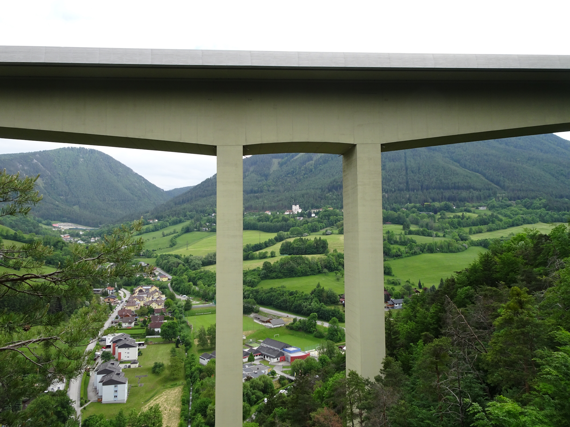
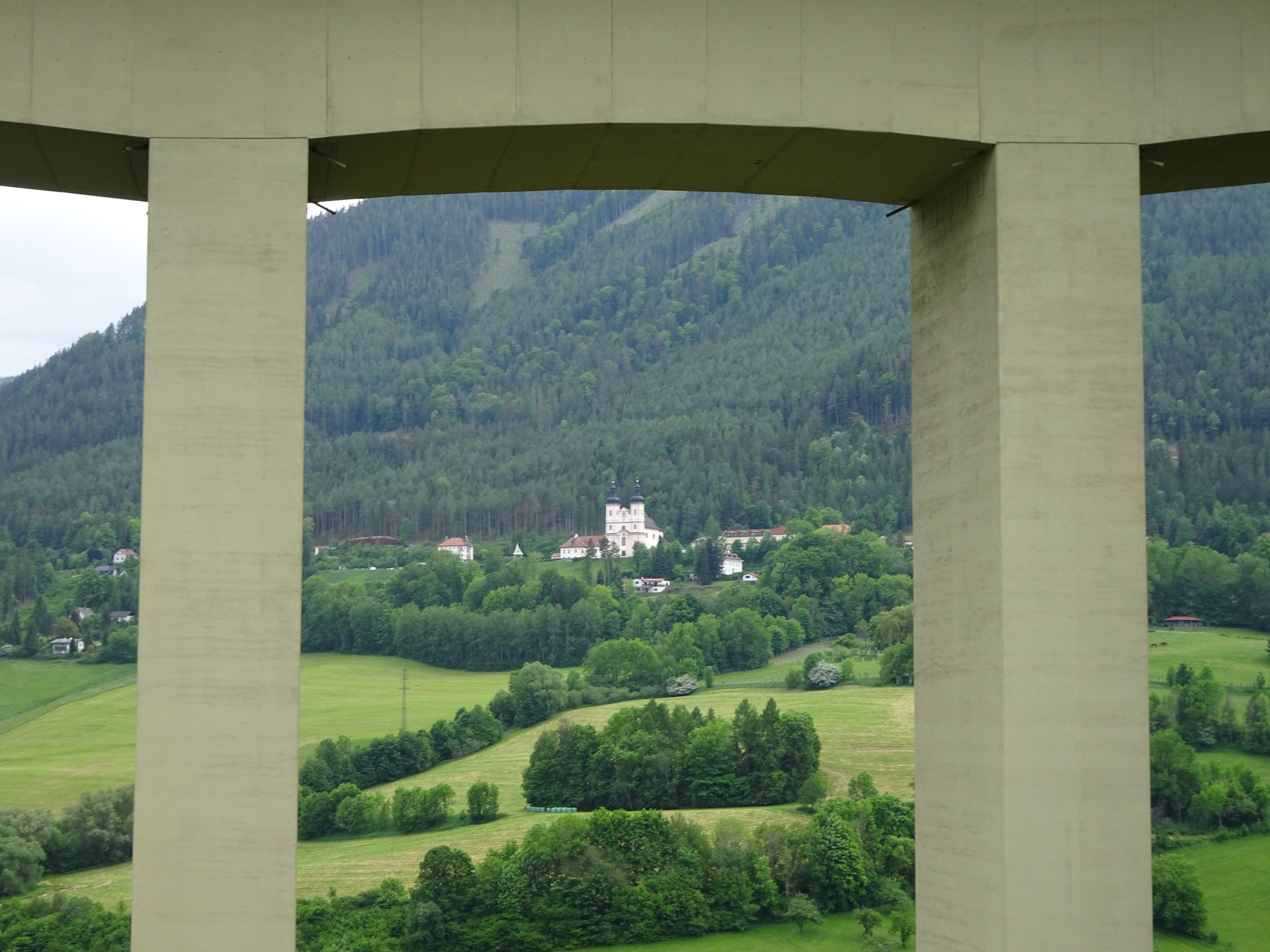
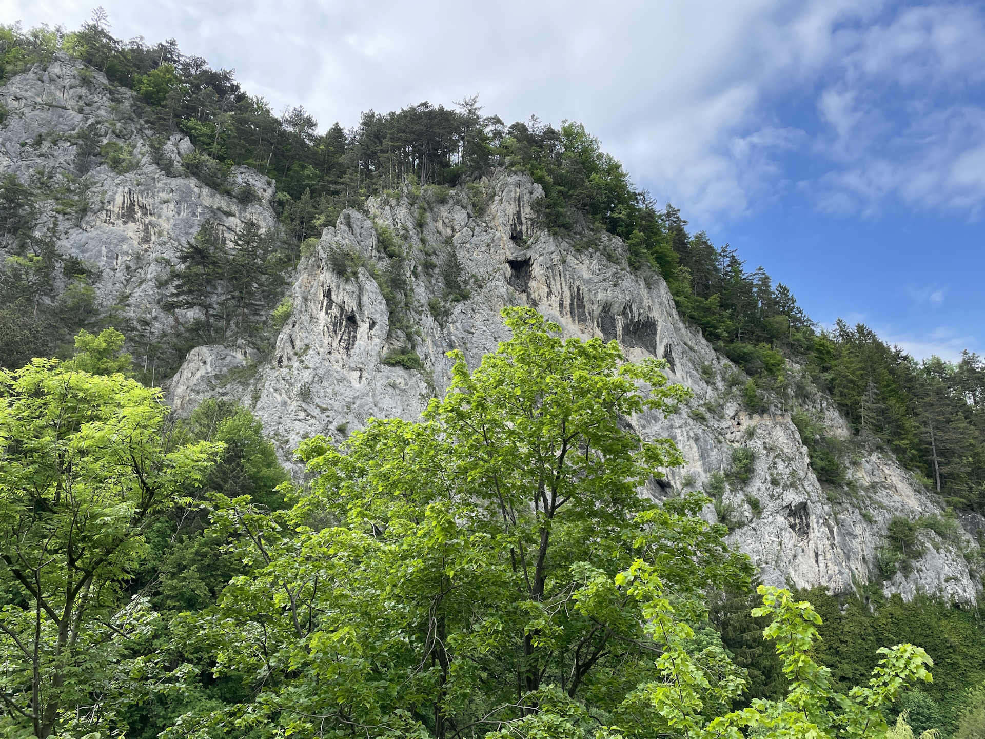
When reaching the main road just before the highway bridge, the tour optional turns right and then up to the Verteidigungshöhe, and then back to the crossing. From there the tour now follows the street southwestwards and turns right into the smaller street right after the Kindergarden. The tour then ascents following the yellow-marked trail up to Marienrast and then along the trail through the highway bridge with its unique viewpoint. Following the trail further northwards leads to the Großer & Kleiner Pulverturm, descending back to the street.
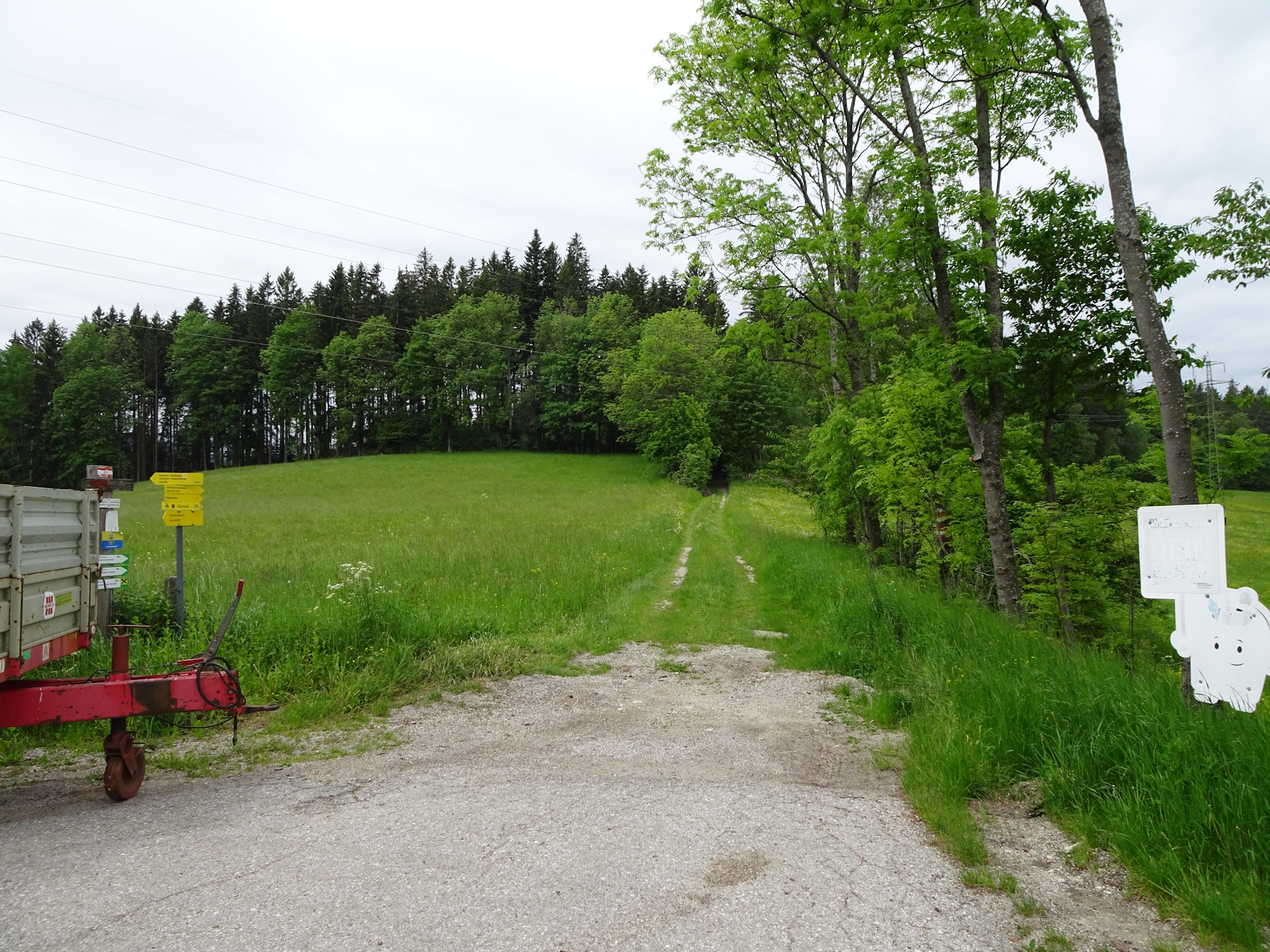
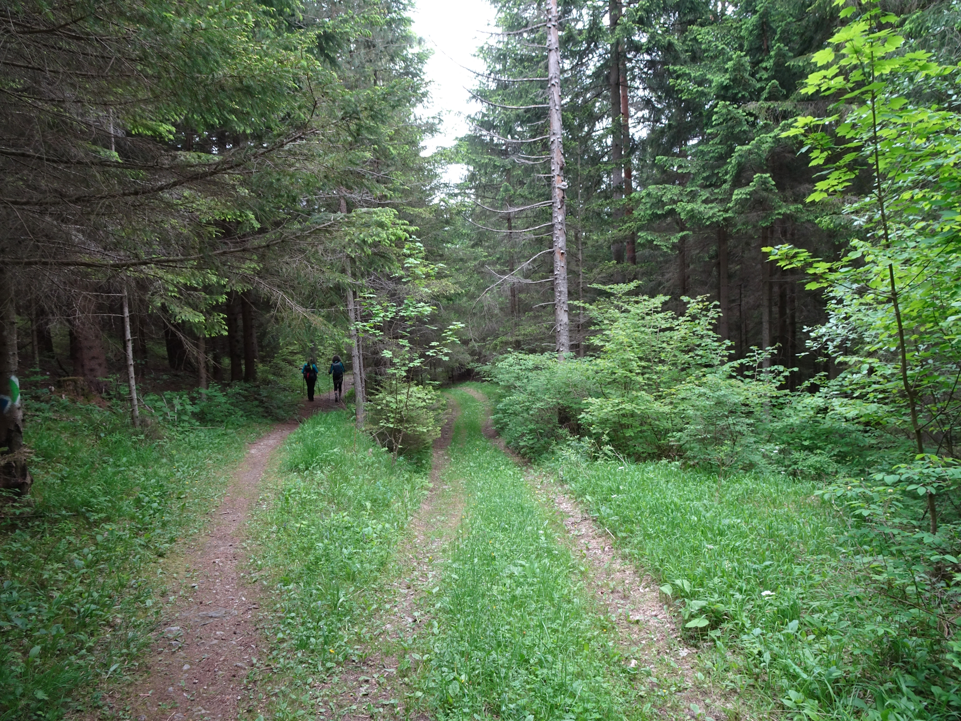
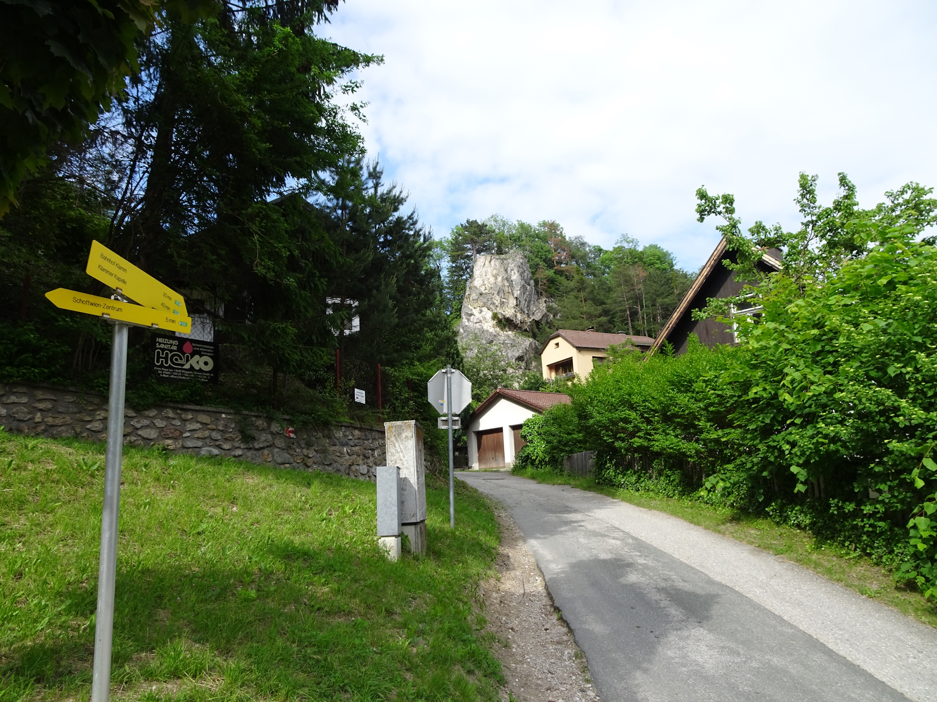
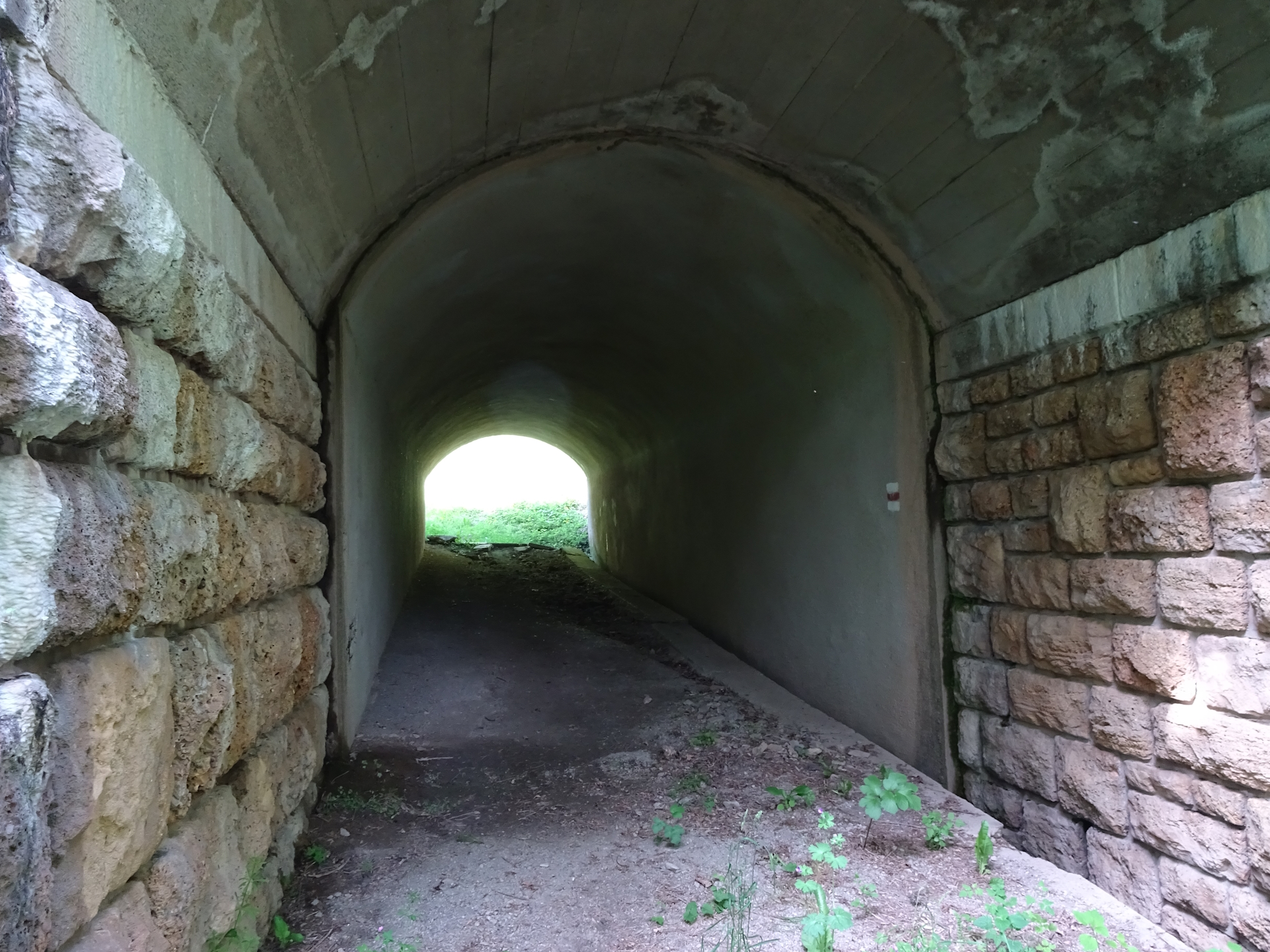
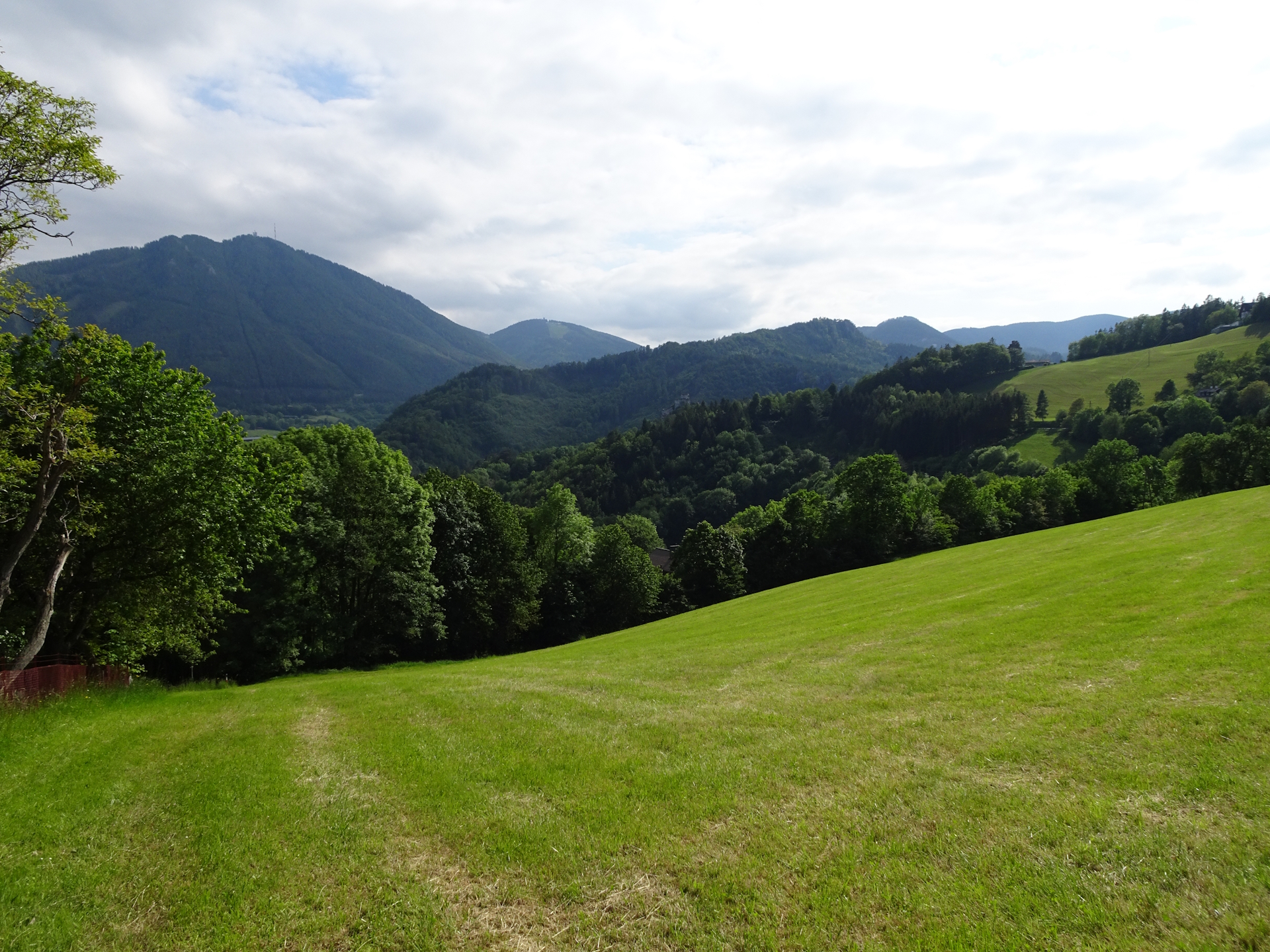
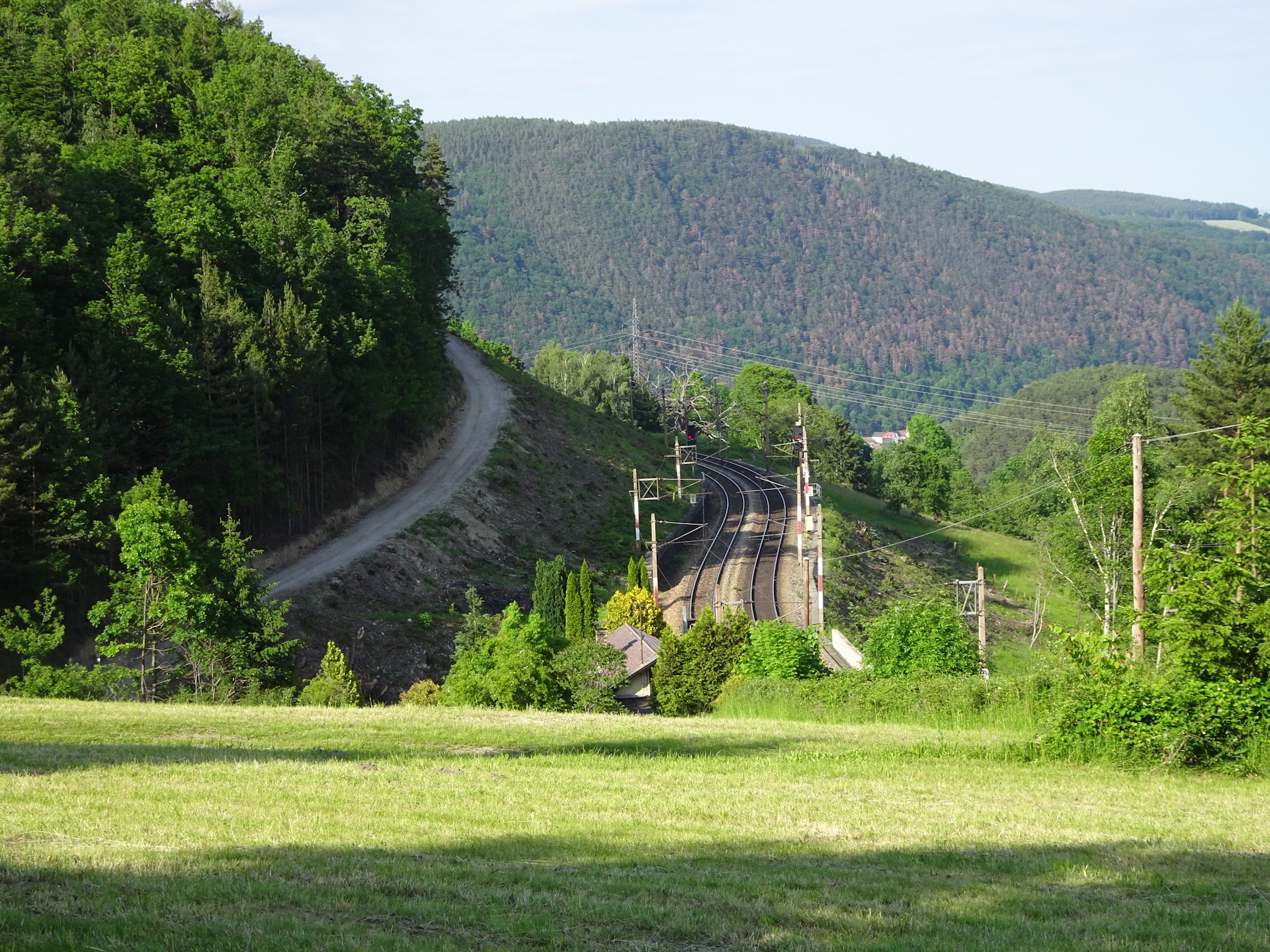
After a few meters, the tour turns left and follows the trail towards Klamm. After bypassing the railway tracks through the tunnel, the tour turns right and follows now the scenic Bahnwanderweg trail eastwards to Eichberg. At the train station Eichberg, follow the green marked trail heading directly to Gloggnitz. Continue following the marked trail till reaching the train station of Gloggnitz.
| 00:00 | Start at the bus station Kirchberg / Wechsel (Ortsmitte) and follow the street westwards for a few meters. |
| 00:01 | After the bank and before the restaurant, turn right and use the stairs upwards. |
| 00:05 | Bypass the church on its left handside and follow the street northwards. |
| 00:10 | Turn left and follow the street for a few meters. At the first possibliity, turn right into the trail through the forest. |
| 00:15 | Cross the street and follow the red marked trail northwards. |
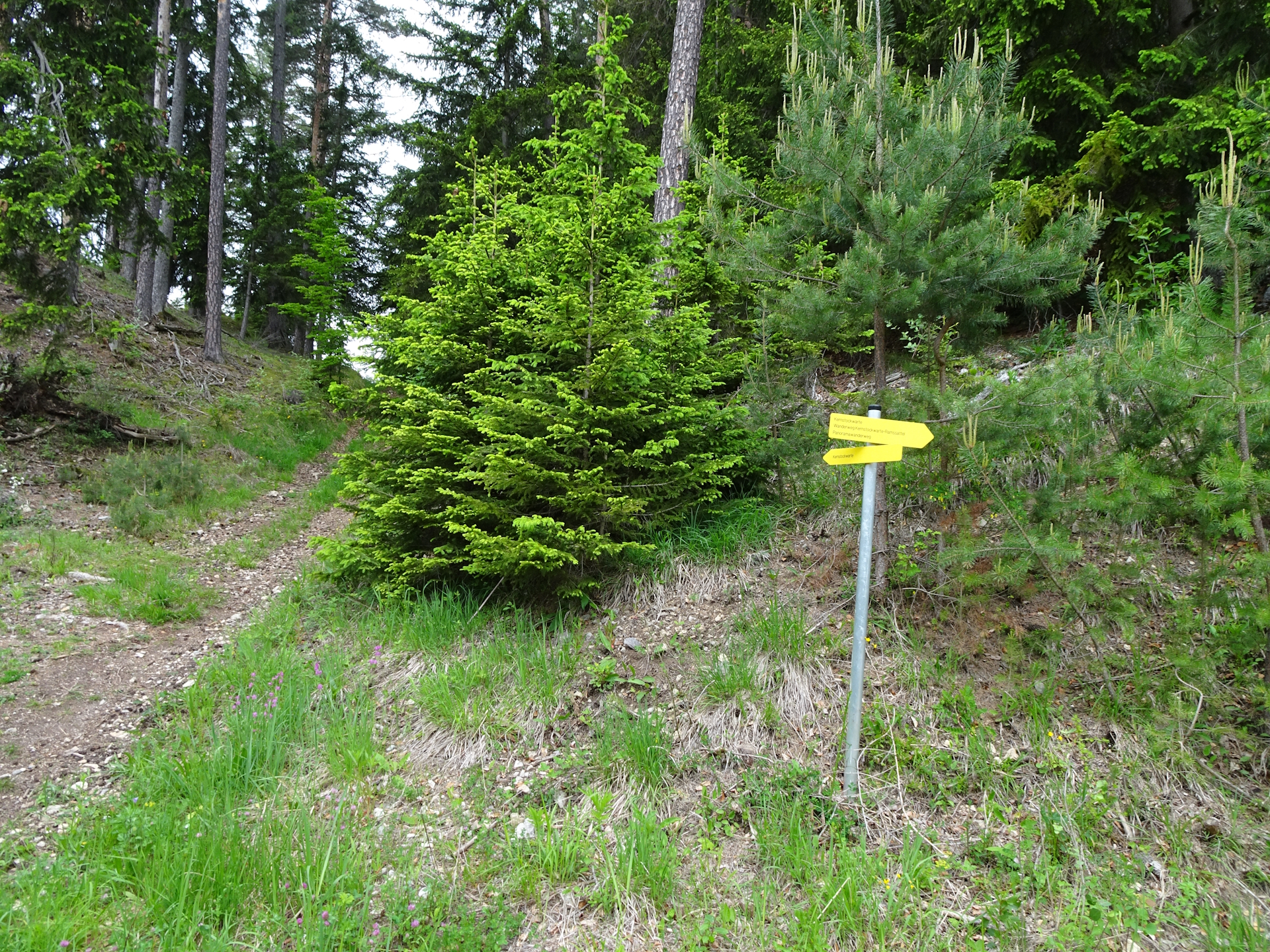
| 00:25 | Leave the red marked hiking trail and turn into the forest road. Follow the signposts towards Kernstockwarte. |
| 00:26 | At the crossing, turn left and follow the small trail up to Kernstockwarte. |
| 00:30 | Enjoy the impressive view from Kernstockwarte viewing platform. Obviously best enjoyed with a self-brought refreshment (). |
| 00:40 | Follow the trail northeastwards. |
| 00:45 | Keep straight and follow the yellow-red marked trail northwards. |
| 00:55 | At the crossing, follow the street a few meters and then turn right into the small trail heading up to Eselberg. Continue on the trail till returning on the street. |
| 01:10 | At the crossing, turn left and then follow the street towards Ramswirt. |
| 01:15 | Bypass the Ramswirt Tränke with its iconic silo. You might consider a short break for a deserved refreshment (). Then, continue following the street westwards. |
| 01:25 | At the Ramssattel, first turn right, head up to the saddle and then turn left. Follow the street around the Ramswirt. |
| 01:35 | At the crossing, turn left and follow the marked trail Nordalpenweg 01A. |
| 02:10 | In Raach am Hochgebirge, stay on the marked trail Nordalpenweg 01A, heading westwards. |
| 02:20 | At the main street’s U-turn, keep straight ahead and continue following the trail Nordalpenweg 01A. |
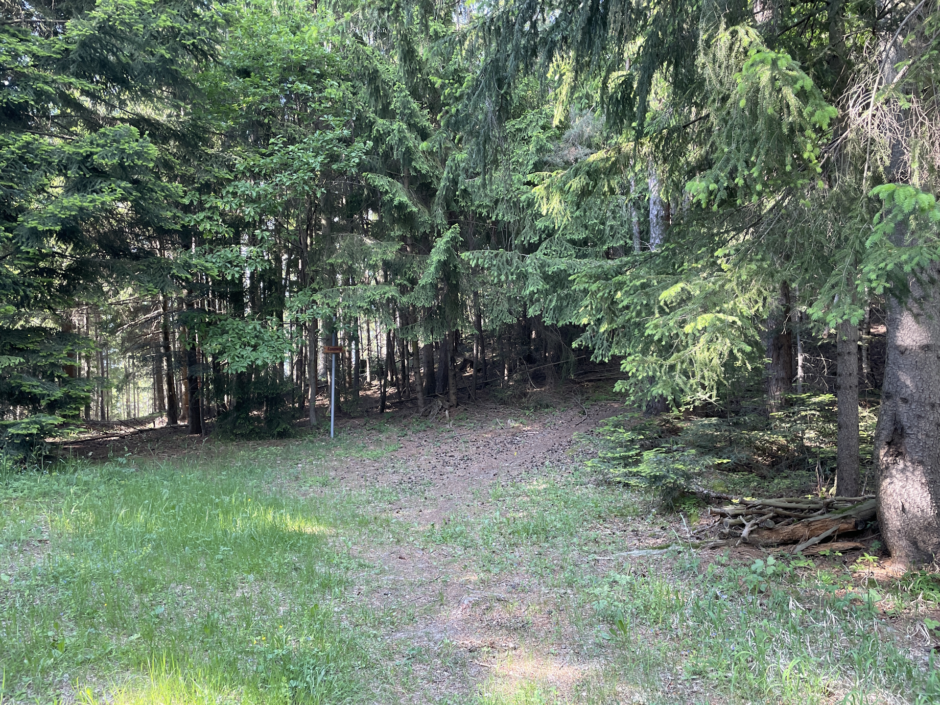
| 02:45 | At the Schanzkapelle (chapel), leave the Nordalpenweg and turn left. Follow the trail towards Kummerbauerstadl. |
| 03:10* | Optional detour: Turn left and follow the easy climbing route up to Kleiner Otter. The route is very well marked with small red dots. |
| 03:45* | Enjoy completion of the climbing part with a self-brought refreshment (). |
| 03:55* | Follow the trail back for a few meters and then turn left. Follow the trail traces downwards thorugh the forest till reaching the forest road. |
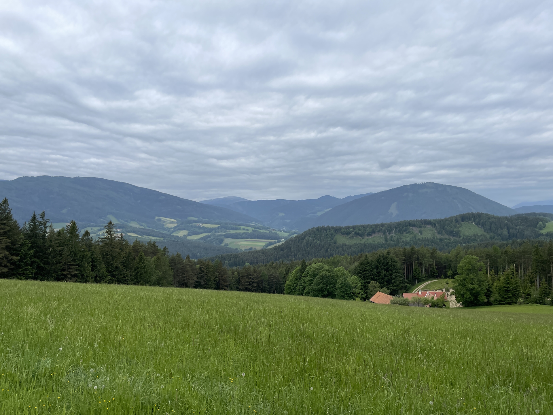
| 04:10 | Turn sharp left and follow the hiking trail towards the street and then the Kummerbauerstadl. |
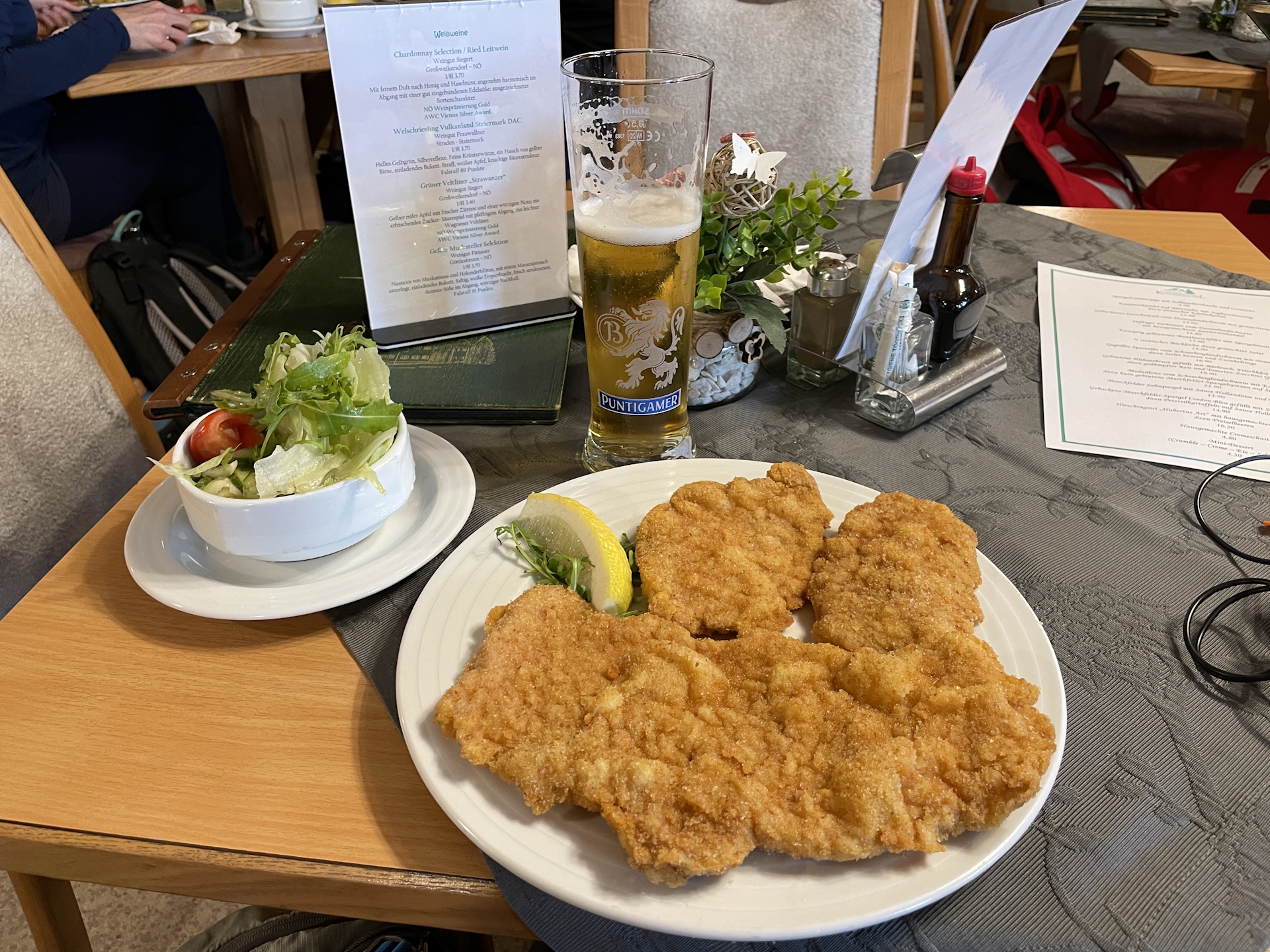
| 04:15 | Well-deserved break () at Kummerbauerstadl. |
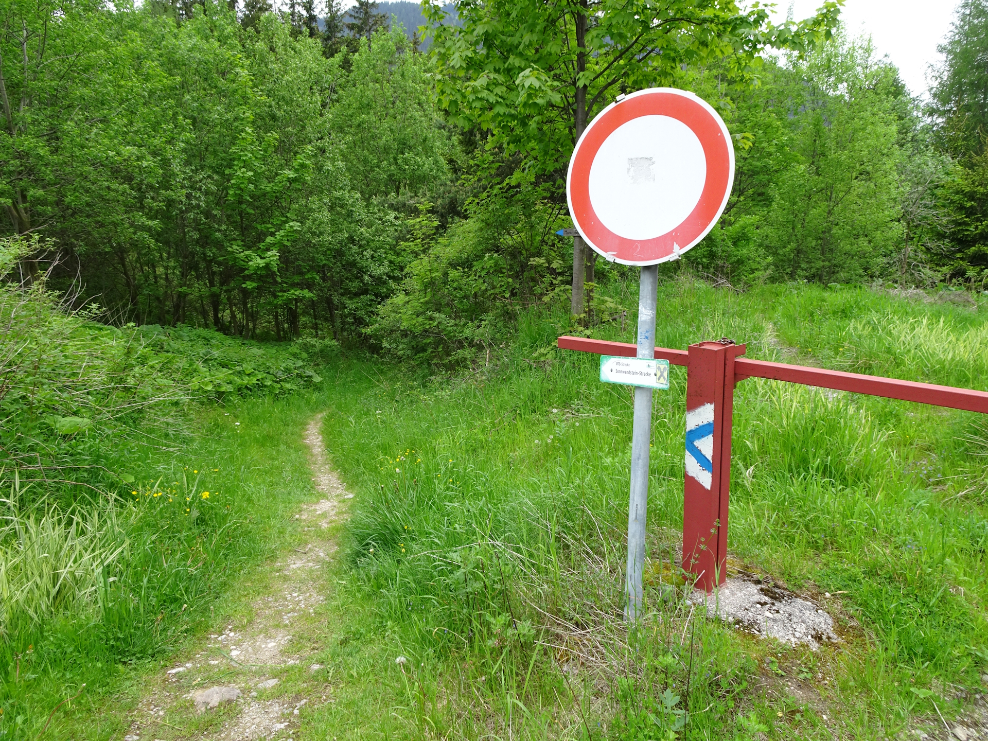
| 05:10 | Follow the blue marked trail northwestwards towards Schottwien. Turn left just before the barrier. |
| 05:25 | At the crossing, keep right and take the lower trail! |
| 05:35 | Bypass the Göstritz viewing platform and then continue following the street northwards (blue marked). |
| 05:45 | Turn right and continue following the blue marked trail into the village of Schottwien. |
| 05:55* | Optional: Turn right and follow the main street through below the highway bridge. |
| 06:00* | Turn right and follow the trail up to the Pulverturm viewing point, just below the highway bridge. Then head back through the bridge back to the crossing. |
| 06:05 | Now keep straight and follow the main road southwards. A few meters, right at the bus station, turn right into the smaller road. At the first possiblity, turn again two times right and follow the forest road upwards. |
| 06:20 | Turn once more right and follow the trail which leads into the yellow marked hiking trail. Here keep right and follow the trail towards the Marienrast. |
| 06:30 | Follow the trail through below the highway bridge. then turn slightly right towards the Brückenblick, giving an impressive view on the highway bridge. Continue following the yellow-marked trail northwards. |
| 06:50 | Bypass the Großer & Kleiner Pulverturm and then descend down towards the street. Turn left and follow the main street northeastwards. |
| 06:52 | Turn left and follow the marked trail northwards towards Klamm. |
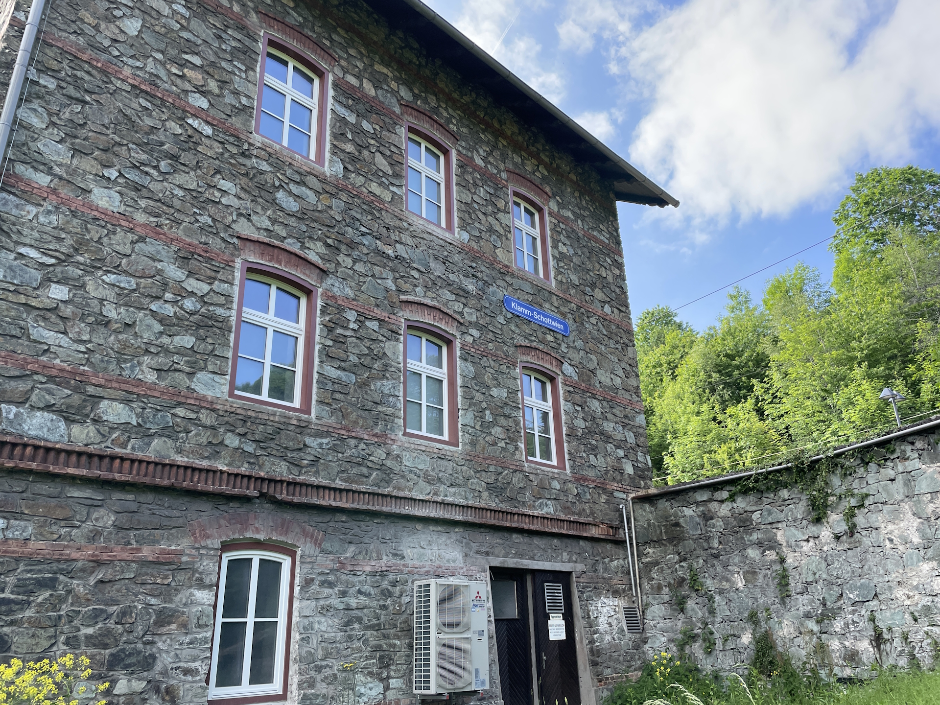
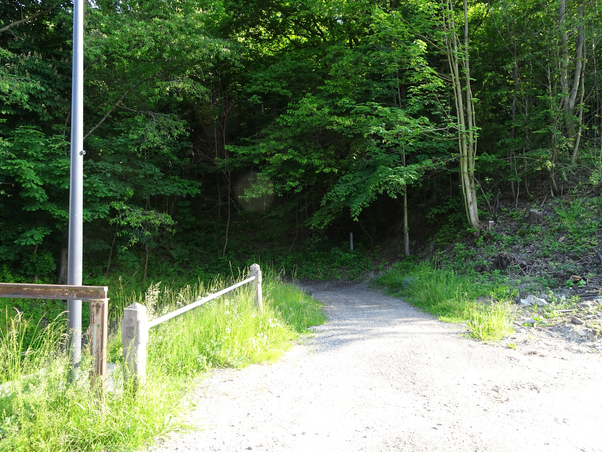
| 07:10 | Use the tunnel through the railway track at the train station Klamm-Schottwien and continue following the trail. |
| 07:15 | At the crossing, turn left twice and follow the red-marked Bahnwanderweg hiking trail towards Eichberg. |
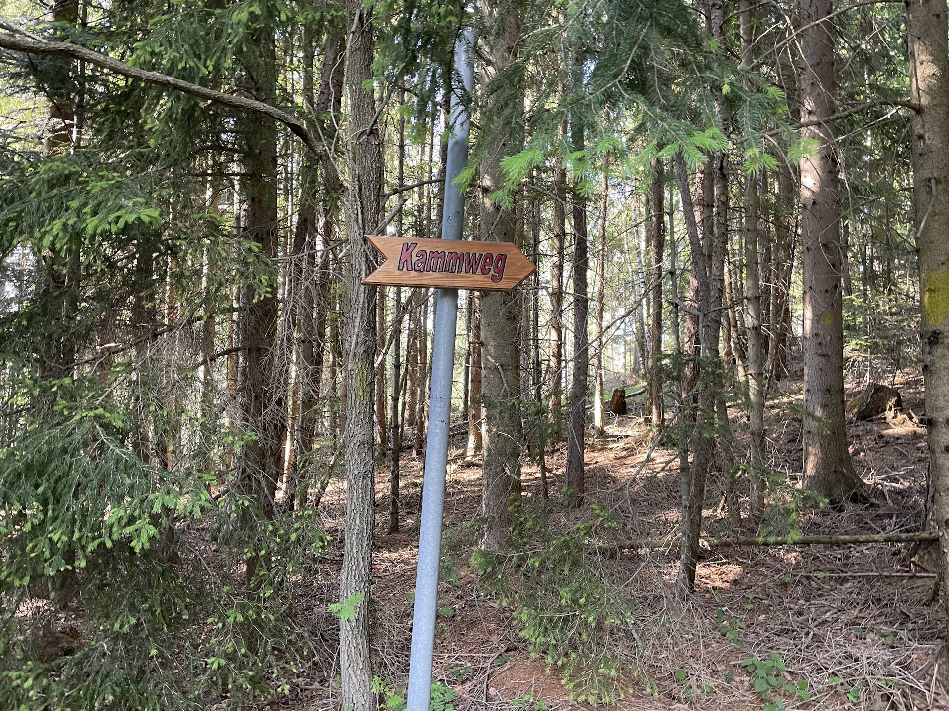
| 07:30* | Optional: Turn slighlty left and use the yellow-marked Kammweg to hike up to Eichberg. Continue following the trail till the clearance. |
| 07:45 | At the clearance, turn slightly left and follow the blue-red marked trail heading northeastwards. |
| 07:50 | Turn left and follow the Bahnwanderweg above the railway track northwards towards Eichberg. |
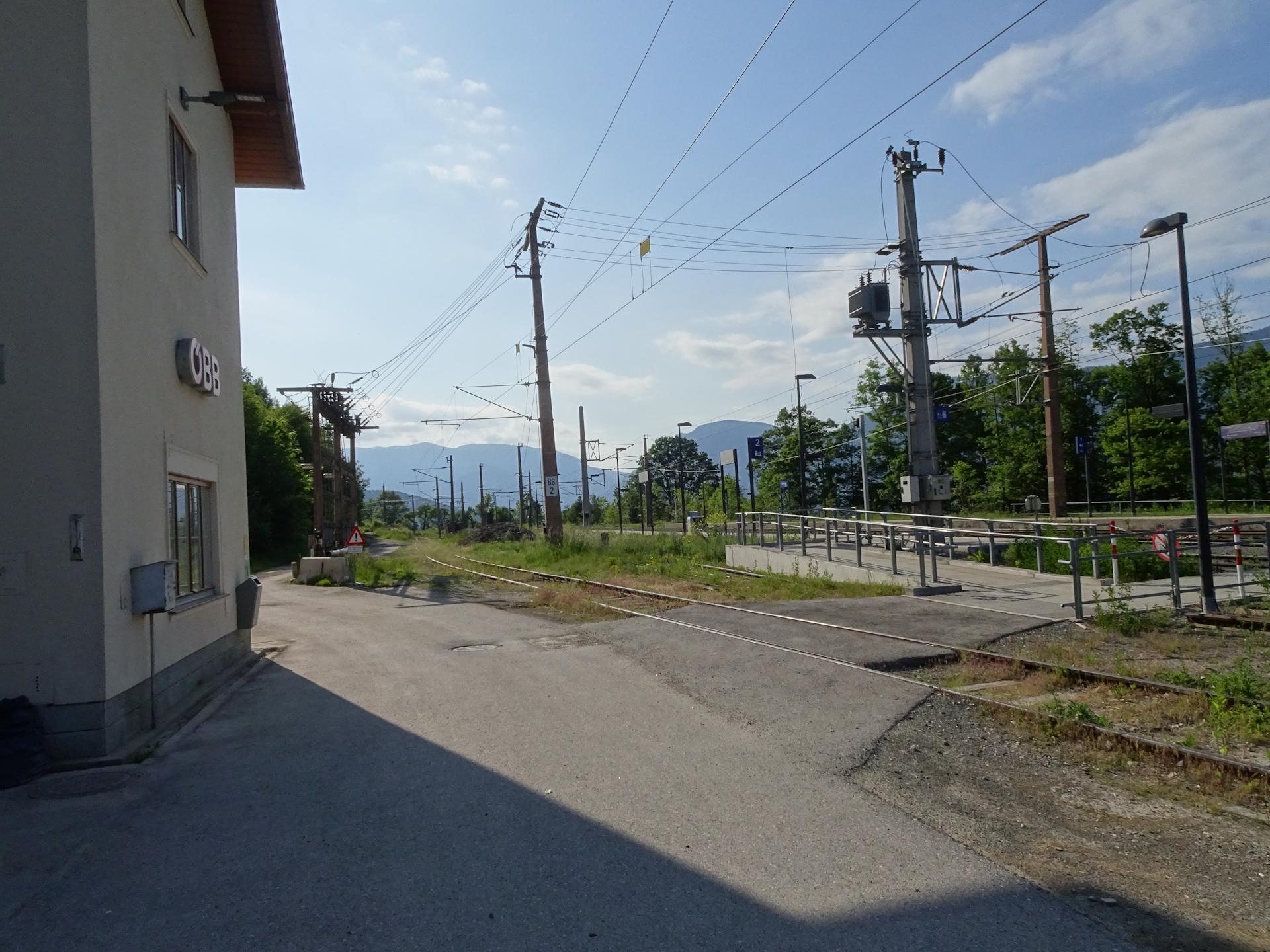
| 08:00 | Just before the train station, turn left and then use the trail doing a U-turn traversing the railway track through a tunnel. Continue following the green-marked trail northeastwards towards Gloggnitz. |
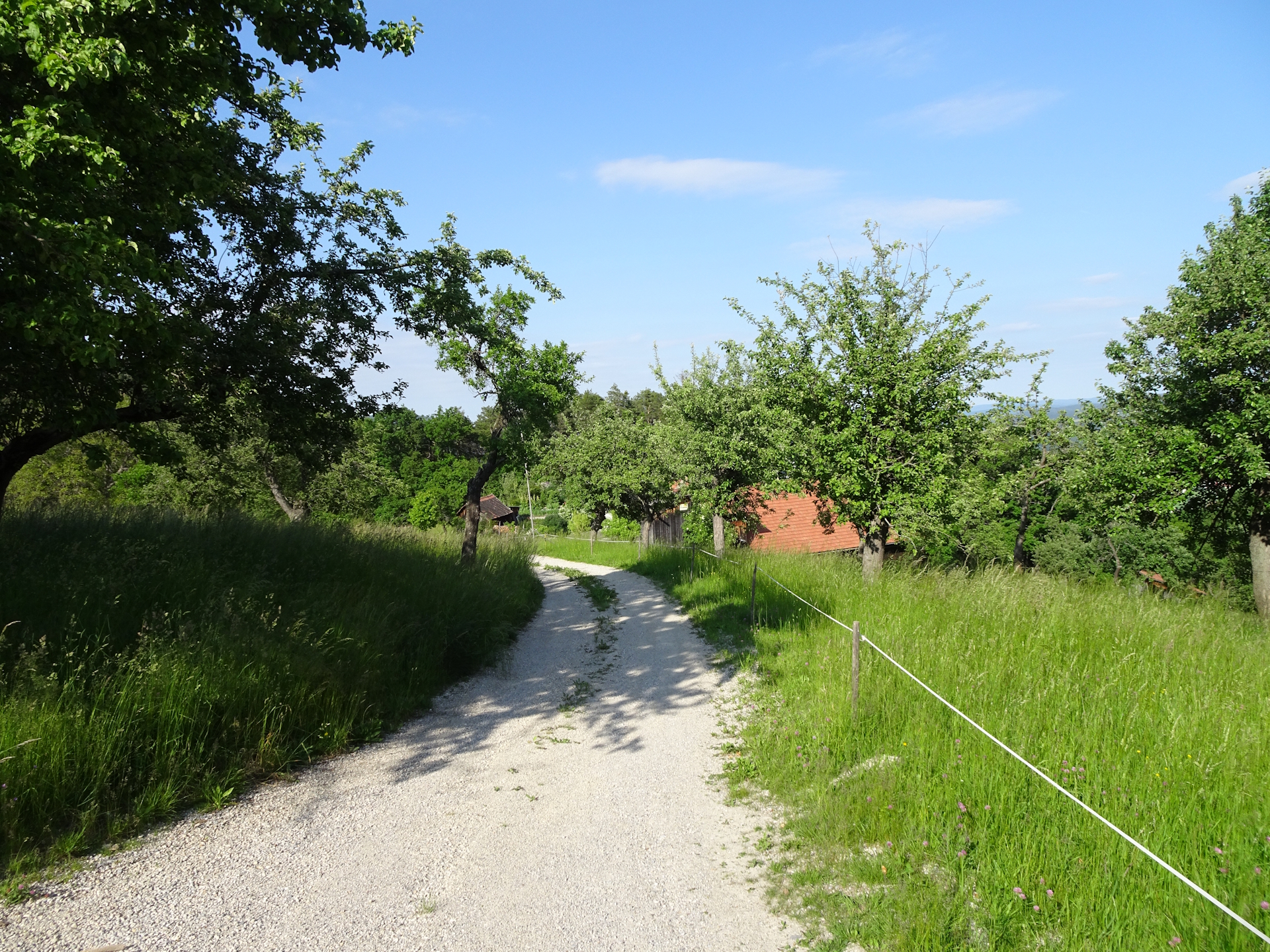
| 08:20 | Cross the main street and then follow the street into the city center of Gloggnitz. Further follow the trail back to the train station. |
| 08:45 | Arrival at the train station Gloggnitz, end of the tour. |
General Tour Data
| Area: | Wiener Alpen, Lower Austria, Austria | |
| Distance: | 35km | |
| Ascent: | 1595m (2h 05min) | |
| Descent: | 1710m 2h 05min) | |
| Highest Pt: | 1324m | |
| Lowest Pt: | 437m | |
| Duration: | 7h 30min (without breaks) 8h 45min (with breaks) |
|
| Stop/Rest: | Ramswirt (825m) Gasthof Diewald (Raach) (815m) Kummerbauerstadl (1078m) Gasthaus Haselbacher (574m) |
|
| Equipment: | Backpack with standard hiking equipment Comfortable hiking shoes Snacks, Food and plenty of water 2x Gipfelbier Sun & Weather protection Camera |
| Download GPX | ||
| O | Tour at outdooractive.com |
At a glance
| Level | difficult |
| Technique | |
| Shape / Fitness | |
| Experience | |
| Scenery | |
| Best time in the year | |
|
Jan
Feb
Mar
Apr
May
Jun
Jul
Aug
Sep
Oct
Nov
Dec
|
|


Leave a Reply